
Over the long Memorial Day weekend of 2016, (taking Friday off from work) my husband, Erik, and I paddled the 154 mile Rum River. Erik’s parents, Barb and Steve, helped us with a shuttle. The Rum has a special meaning to me because when I was a kid, we had a cabin on the river in the town of Onamia.
Water levels for our trip were 10.75 feet at Onamia (medium) and 3.3 feet at St. Francis. At this water level we glided over most of the rocks and even dams but given numerous rocks above mile 95, we would not recommend paddling at lower water levels. Obviously higher levels bring their own danger with stronger current.
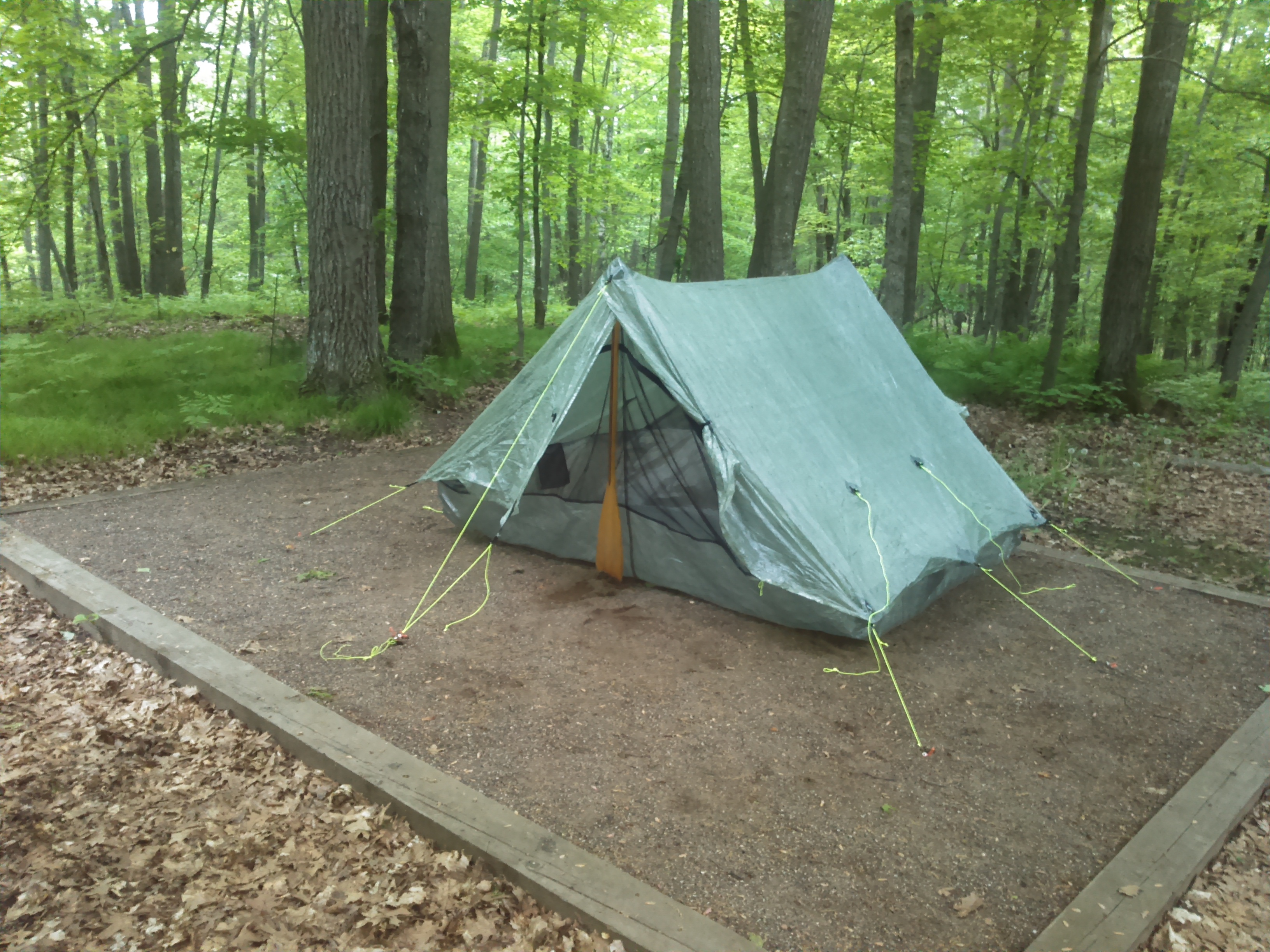
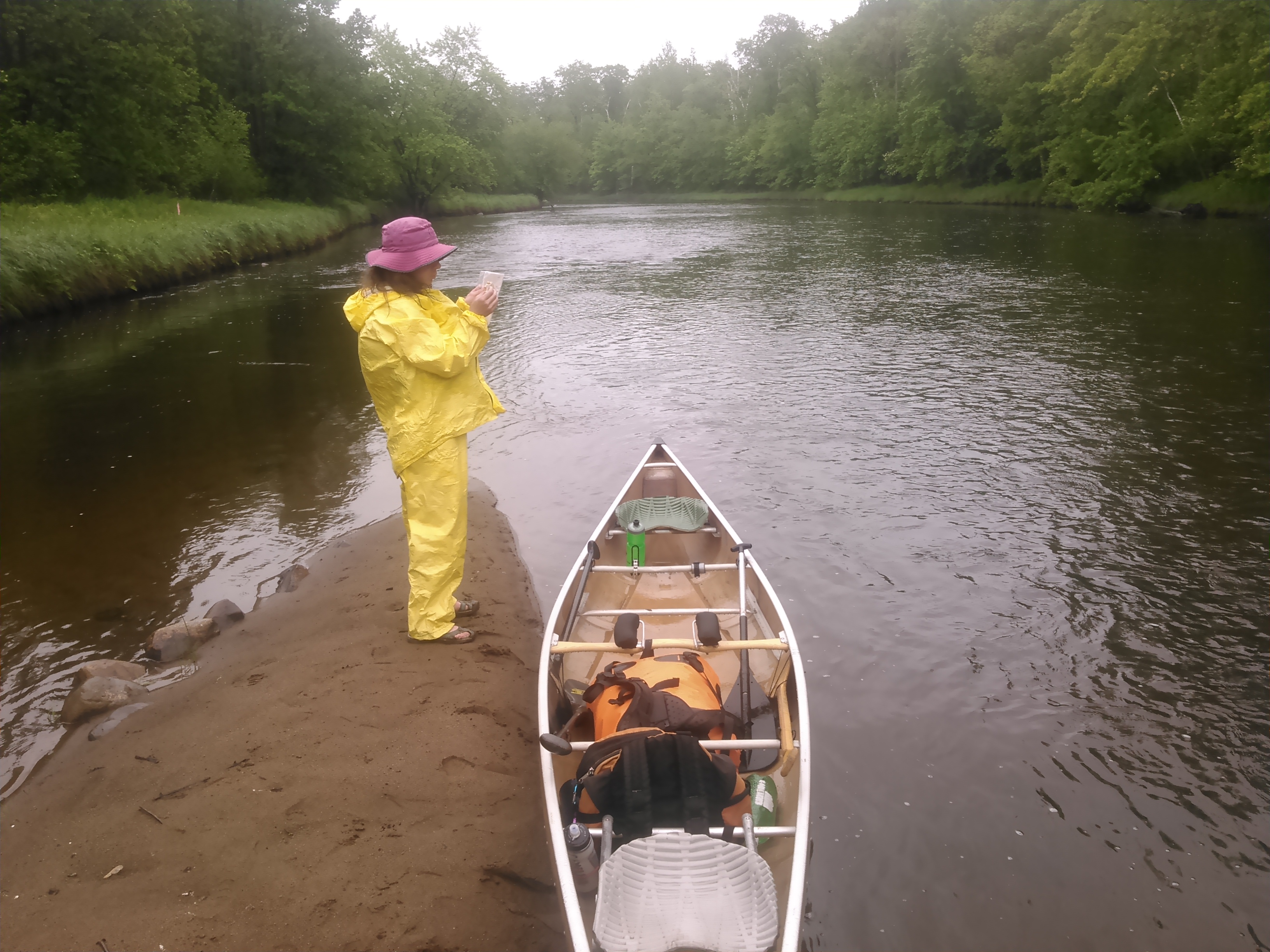
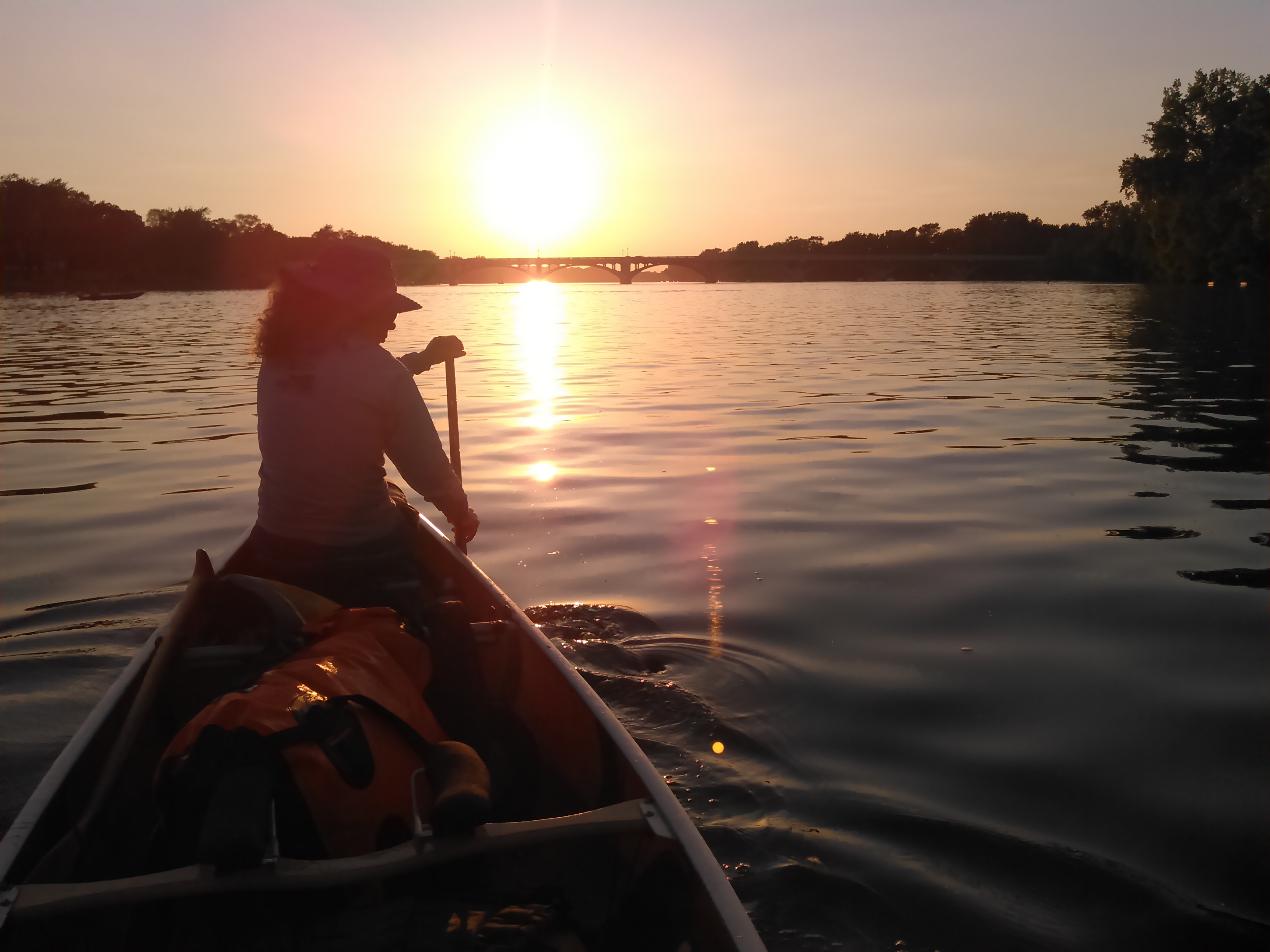
We began the Rum River canoe trip from the Kathio State Park upper campground (the Ogechie Campground), 1.5 miles downstream of Mille Lacs Lake. Barb and Steve dropped us off at 8:18 PM and we quickly set up our tent. Then, with 20 minutes until sundown, we paddled upstream to the outlet of the Rum River at Mille Lacs Lake. We started at the state park campground to get more canoeing time than driving time but Barb and Steve drove to the outlet anyway to see us off.
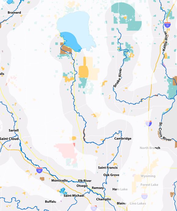
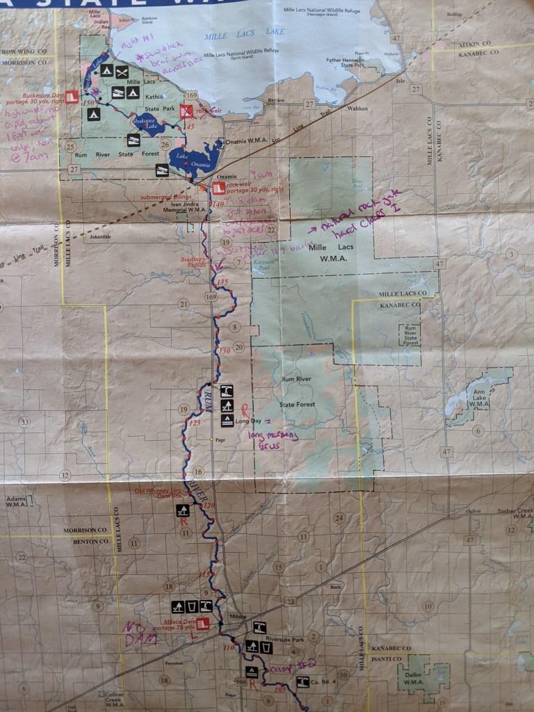
Once we got to the rock dam at the outlet of Mille Lacs Lake we didn’t attempt canoeing up it seeing as we had left our beater paddles in camp. We briefly debated portaging around the dam to shoot it but since it looked like we would likely scrape we decided our entire descent of the Rum River could begin just downstream of the dam. We enjoyed some fast moving water until we got back on Lake Ogechie which was incredibly shallow. Most of the lake was suck water (canoe racer term denoting water less than two feet deep and therefore slow due to the wave bouncing off the bottom) but there was a discernible channel we tried to follow. The Minnesota DNR map of this section of the river can be found here.

It was almost dark by the time we made it back to camp so we quickly finished our chores and got in the tent and went to sleep.

The next morning we awoke at 5:30 AM and we’re paddling by 6:40 AM after a short portage down to Lake Ogechie. We saw lots of trumpeter swans and pelicans before getting to the Buckmoore dam at the lake outlet which I remembered being quite scared of as a child. As we approached the dam we didn’t hear any rushing water and the only evidence of a dam were small concrete walls on either side of the river with signs marked dam. As we floated over the concrete dam, we could see it a foot below the surface.
Shortly after the underwater dam, we saw a bear cross from river left to river right 100 yards in front of us.
There was little current from Lake Ogechie until after Lake Onamia. There’s supposed to be a rock dam between Lakes Shakopee and Onamia but we didn’t see it. The dam leaving Lake Onamia was quite different from the dam I had been very excited to shoot as a child in our aluminum canoe with Dad. The concrete structure with three shoots had been removed and replaced with a new rock weir. We shot this without difficulty.
Next up was the paddle through the town of Onamia. Either this has changed drastically or I remember little of it from my childhood. What I did remember and proved true were two difficult bridges. One I believe is on the way to the schools. There was a nice Class I chute through this bridge. The other was the old train trestle bridge where the river also makes a significant turn. Erik and I followed the bulk of the current and had no difficulties here. Our map noted “submerged pilings” in red but the newest version interestingly enough cautions that paddling in this section is not recommended due to frequent log jams. Wow, how many times we paddled through here when I was a kid, our aluminum canoe heavily weighed down with two parents and three kids under the age of 12. True, it was often a bit dicey, but never dangerous. Once again it’s difficult to interpret the Minnesota DNR maps in regard to what is and isn’t passable.
Then we passed by our old cabin, too far from the river to see. When we had the property we left the land wild by the river but now it was a well manicured lawn.
Back when I was a kid, we paddled a couple times a year on the Rum. Often we did the stretch out and back above our cabin, the section that is now marked as not recommended. But sometimes we paddled a one way downstream to county road 103 and Dad did a bike shuttle. I wrote a piece about this when I was ten or so called “An hour and a half in a gray canoe.” Now 20 years later this stretch only took us 45 minutes with a few more dispersed rocks than I recalled from childhood. Near county road 103 there was a class I rapids with rocks spanning the entire river that used to give us a lot of trouble as the aluminum would inevitably get hung up on a rock. As we paddled on this trip, there was plenty of water and we went over it without difficulty.
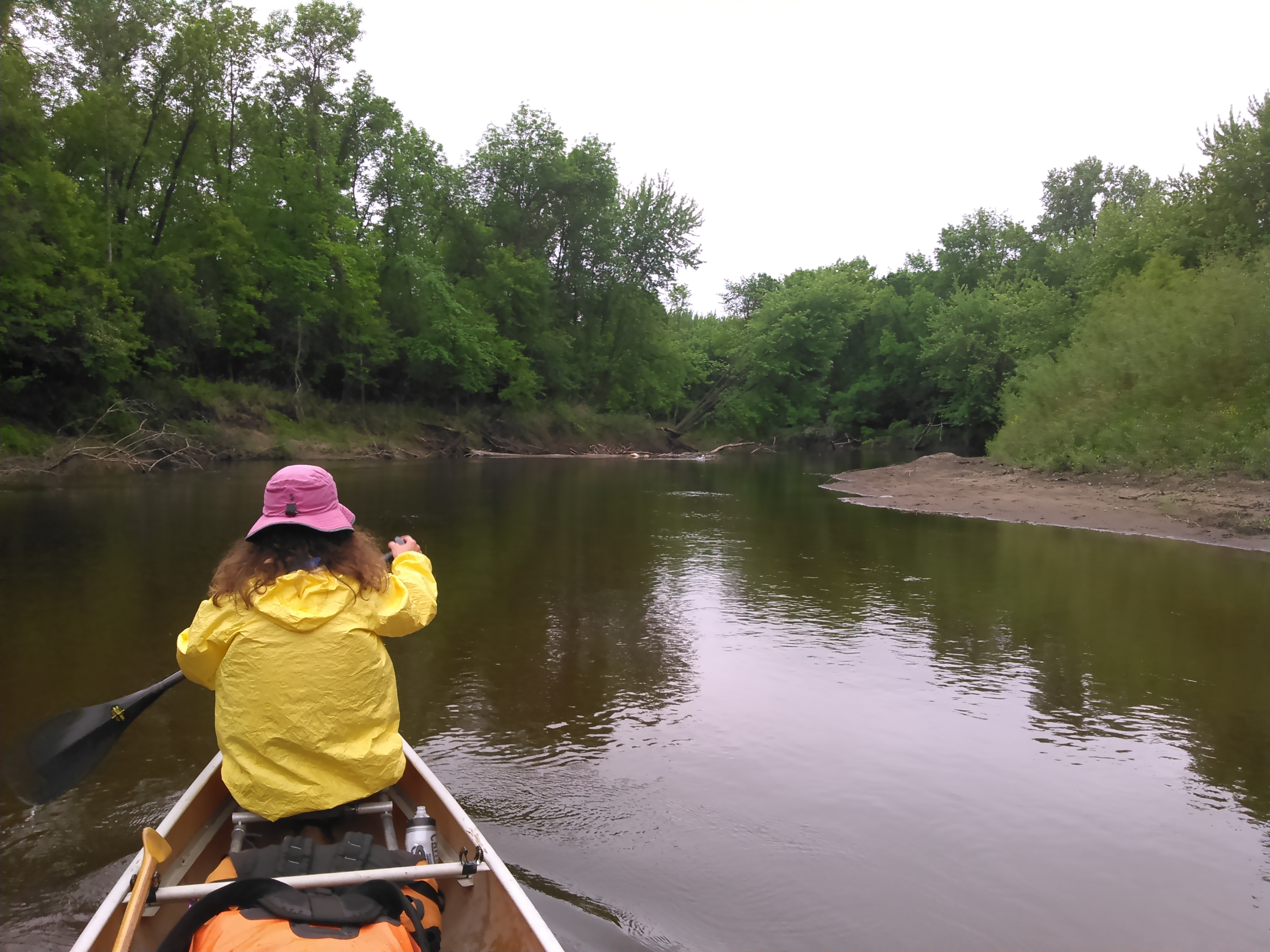
From there we encountered lots of rocks. Fortunately the water levels were medium so we were mostly able to avoid the rocks and only scraped a few times. It was continuous riffles from the dam in Onamia at mile 142 to mile 95. Highway 169 crosses the river here many times and as a child we made this trip often and I recalled seeing lots of rocks during the summer. At the Bradbury Rapids, the river narrowed into an intense chute (like a rock gate). This rapid wasn’t correctly marked on our map but is fixed on the new map. It’s marked class I-II and I’d give it that for sure.
Around this time it began raining. I felt a bit zombie-like in my drenched rain gear and hat pulled down so it was partially obstructing my vision. Sometimes I play the “rain gear games” when the weather threatens rain or even will start to sprinkle and then the sun will come out but this day there were no rain gear games as it was persistently raining. Instead I was playing the good paddle vs beater paddle game given there were so many rocks. I used my good paddle in the flatwater but this was just a few strokes and so eventually I only used my heavy wood paddle which weighs about three times as much as my good carbon fiber bent shaft paddle. I really dislike rock dodging when using a kevlar canoe and the constant being on the lookout for rocks, especially pillow rocks, was mentally draining. Moreover the dark conditions and rain on the water made the rocks pretty hard to see.
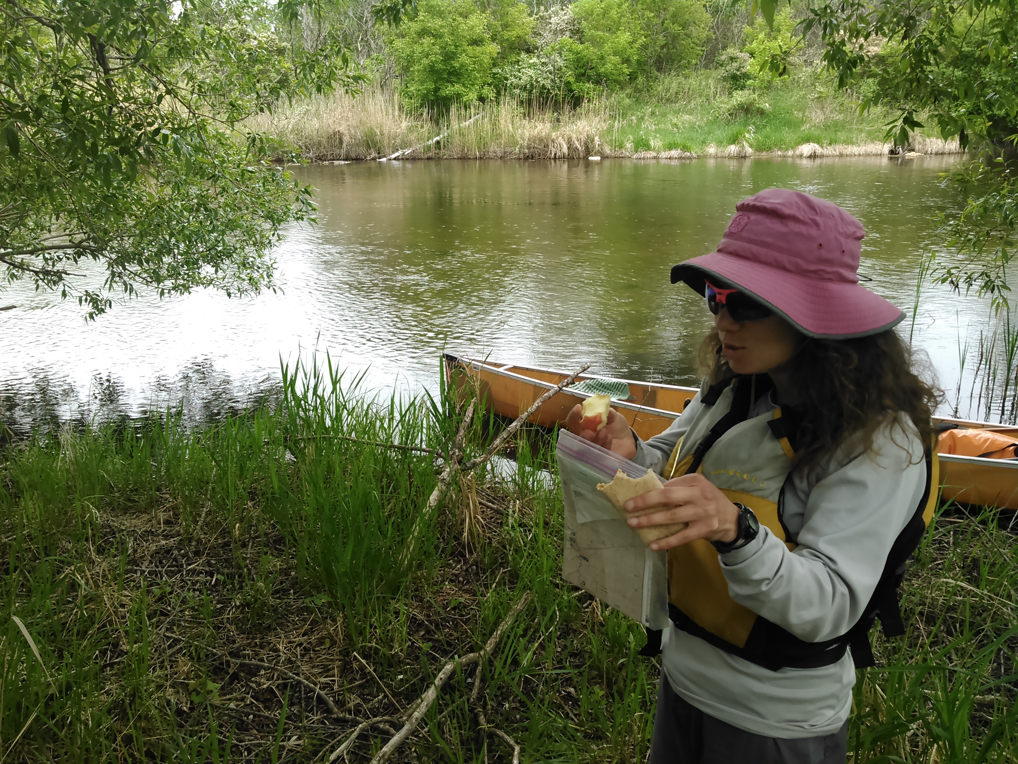
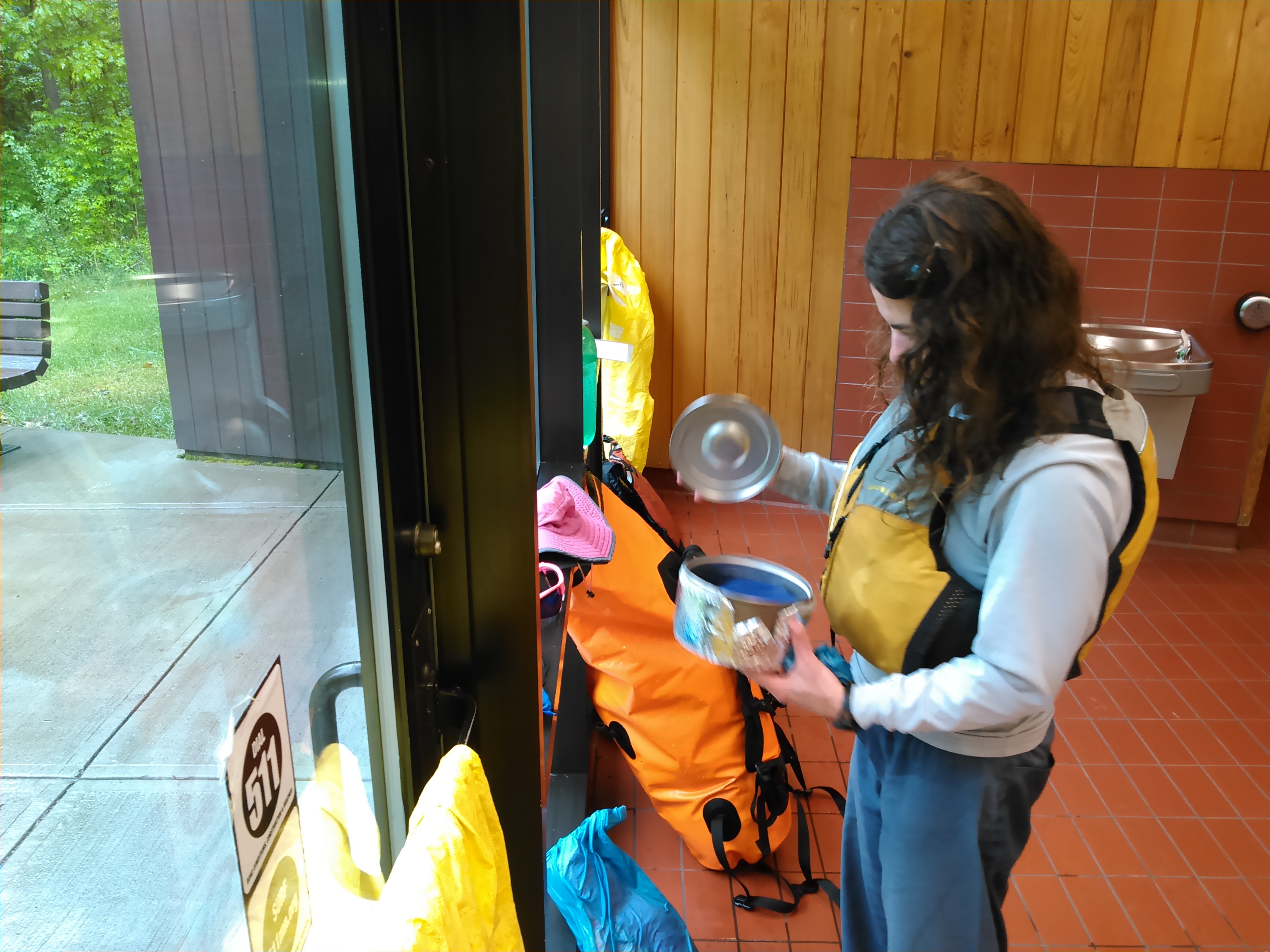
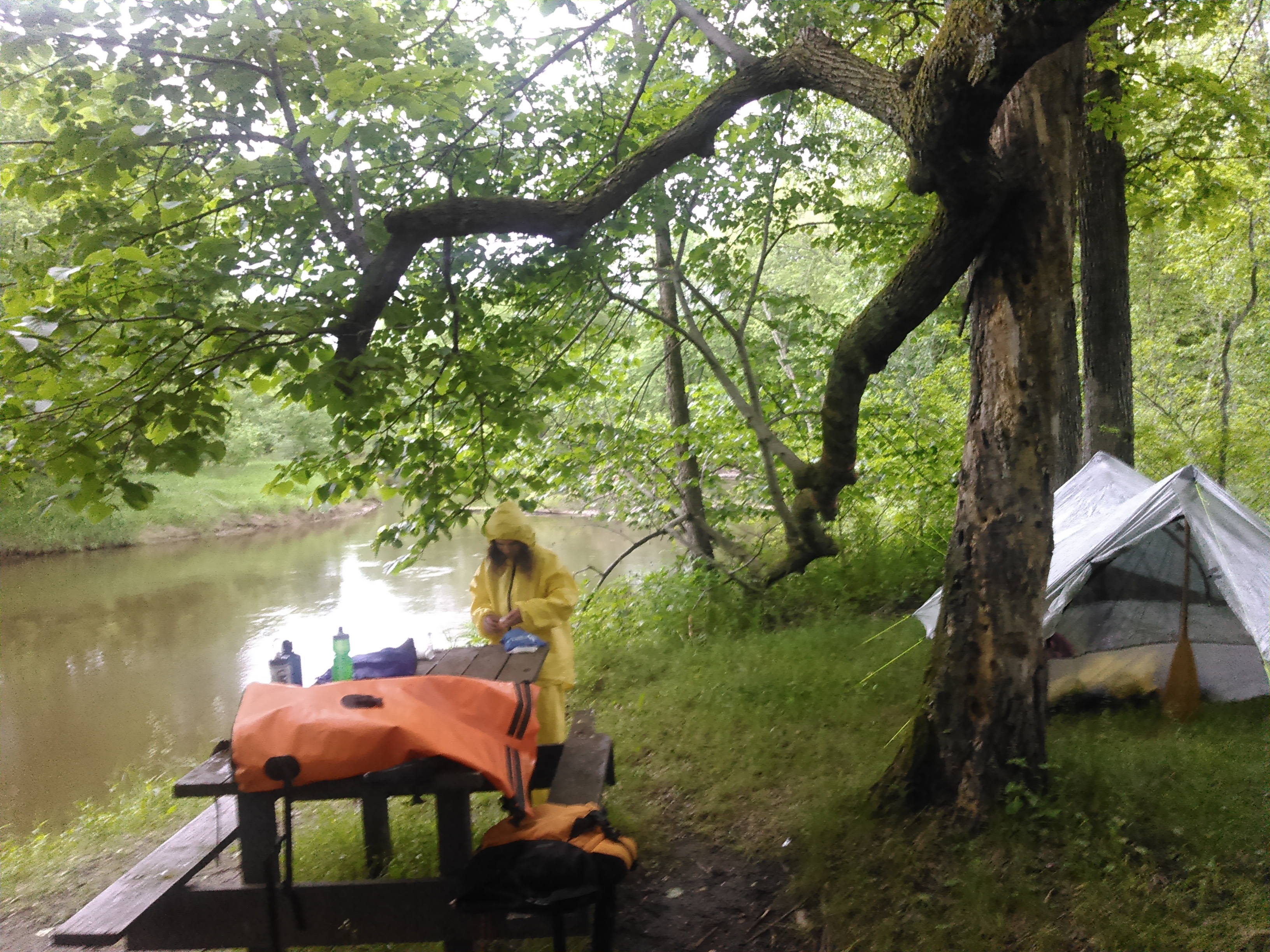
During this stretch of river my mood was quite somber. The map noted a rest area and nearby water campsite called “Long Day” ahead and I thought about staying in the rest area for a bit and getting dry. I had some vague memories of a nice building from my childhood. When we finally got to this rest area there was a muddy trail leading up the bank. I went exploring and was quite happy when I found it. We stayed there for 3 hours, cooking our hot meal for the day and drying out under the hand dryers.
It always seems like no matter what rain gear I wear, my clothes underneath still get wet- either from rain soaking through or from sweat. As such, sometimes I try to take off my clothes and just wear rain gear but when it first started to rain I didn’t have time or the ability to do this in the canoe so I just put my rain gear on over my clothes and hence my clothes got wet.

When we were finally dry and warm and it had mostly stopped raining for the day, we left the rest area in better spirits and continued our paddle. There was no evidence of the Old Whitney dam at mile 122 and somewhat surprisingly as well, the Milaca dam (we suspect this dam was removed at some point as it doesn’t show up on the new map but it did on our old one).
Having already ate our dinner around mid-day, we kept paddling until almost bedtime. There’s a decent number of watersite campsites on the Rum which is helpful. We finally called it a day at the Meadow Gem campsite. There were quite a few mosquitoes and so we got the tent set up quickly and retired inside.
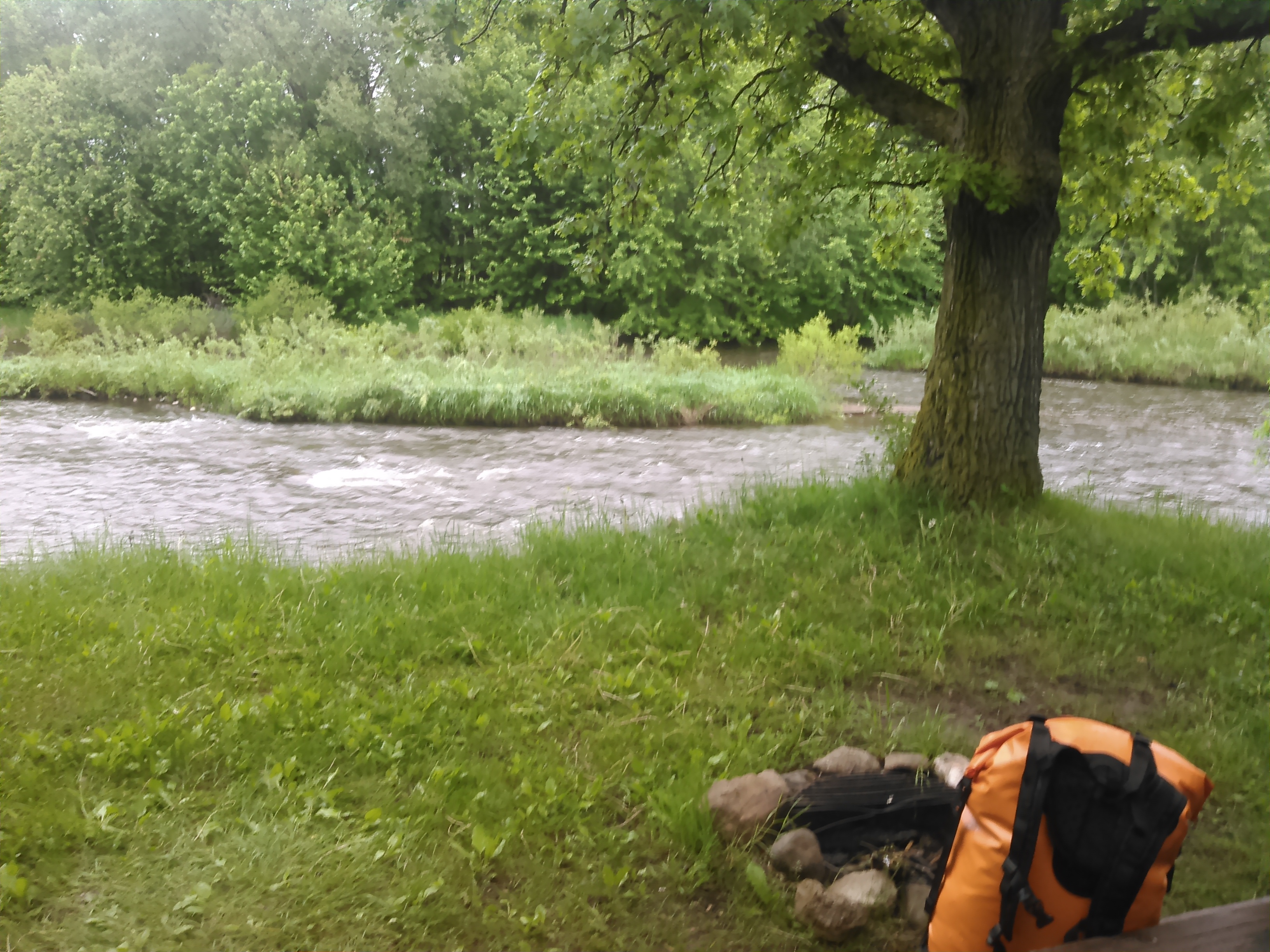
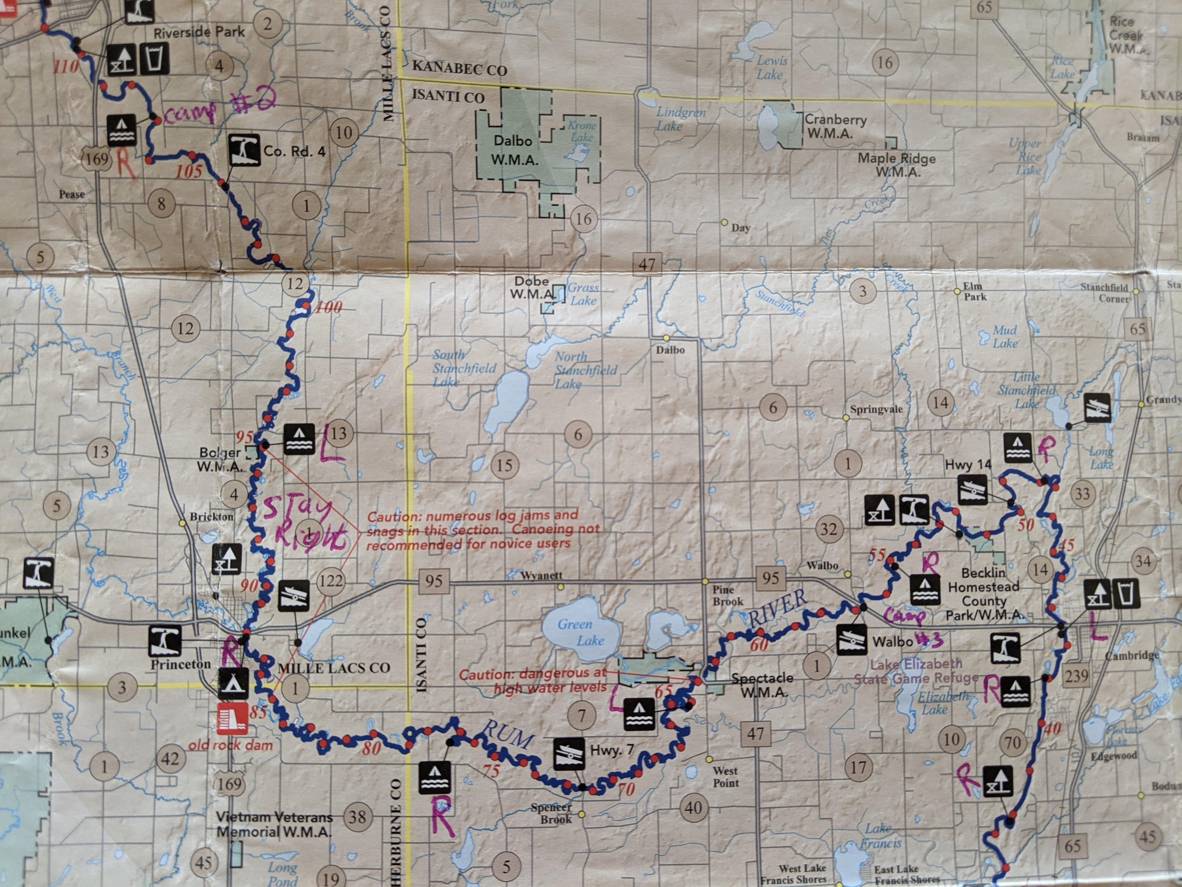
Around mile 95 the river got more narrow and deeper. Rocks were no longer an issue but now we had to contend with lots of down trees. I liked this better than the rocks. The map said “numerous log jams” from miles 95 to 85 but we only had to get out on logs a couple times. Check out the new Map 2 of the Rum River for more details.
The weather was threatening rain all day and now the mosquitoes had come out in full force so we decided to cook our hot meal in the city park at Princeton under a picnic shelter.


After our stop, we got back in the water and paddled and paddled and paddled. Originally we had planned to do this trip over four days but seeing that the weather was crummy and the mosquitoes hungry, I thought we should push for just three days.
I was determined to make it to the campsite at mile 55. Unfortunately this was 20 miles farther than either of us desired to paddle. Since the idea of sitting/laying in a tent from 4 PM until bedtime doesn’t appeal to me (we would be in the tent because the mosquitoes were so bad), we paddled on. The last 10 miles were rough. I was getting giddy from my fatigue and at times I was laughing so hard I could barely paddle. Erik asked to talk and all I could think about was Ruppert, a kid from my high school a year my junior with really big forearm muscles that one of my friends wanted to dissect. He married a shot putter one year his junior and my bro says they have school-aged kids now. I couldn’t remember Ruppert’s first name as we paddled, but one night after a track meet, our parents were late to pick us up and while we were waiting we got to watch the northern lights.
Then a beaver slapped it’s tail so loud we almost fell out of our canoe. That sure startled us and I forgot all about the northern lights and Ruppert.

A mile from the Dayton campsite we were aiming for, we quickly came upon two leisure blue kayaks. We silently wondered if they were going for the Dayton campsite, too. Sure enough they were. In all the miles of this river we saw one other paddling party and it just so happened that we were vying for the same campsite. Fortunately for us, we were much speedier and made it to the campsite first. We would’ve let them join us but they kept paddling.
Once we got to camp we again got the tent up and got inside. Erik surprised me with some different rum flavored mini shots to celebrate our paddle of the rum and the fireflies came out along with a frog chorus that put us to sleep.


Day three dawned with 55 miles to the Mississippi and a pathetic current. We immediately got to paddling and took our first stop 12 miles downstream at the park in Cambridge. As we got back in the canoe, some fisherman ambled down to the bank and asked “where are you floating to?”
I held my tongue but damn, I wanted to say, “I’m not floating anywhere, I’m fucking paddling my ass to Anoka- today.”
The next many miles passed uneventfully and even boring until St. Francis.

At St. Francis we took a break. Erik walked to the gas station and bought us some ice cream treats. Under the County Road 24 bridge in St. Francis there was a portage noted on our map and we found a Class I rapid under the bridge. Neither of these are marked on the new Map 3 of the Rum River. The river again got kind of rocky in this section but water levels were just high enough it wasn’t a problem.
Downstream of St. Francis we encountered some inner tubers and were barraged by a type of fly I’d never seen before. These bugs landed on us and everything on the canoe. Since I wasn’t sure what they were, I started killing them.
“Are they biting you?” Erik asked after a few minutes and much erratic paddling from me in a frenzy to take their lives.
“No,” I replied.
“Then just let them be,” Erik concluded. After a couple miles the flies disappeared.
By now my butt was screaming at me. Oh, my wrists and arms hurt, too. I couldn’t wait to get to the Rum River Central Regional Park where we’d wind around a few bends. Eventually we made it- and it went on for like an hour with four miles of riverfront. By now we were almost inside 10 miles to go and we took a final break but I hurt so bad I wasn’t terribly enthused to get back in the canoe.
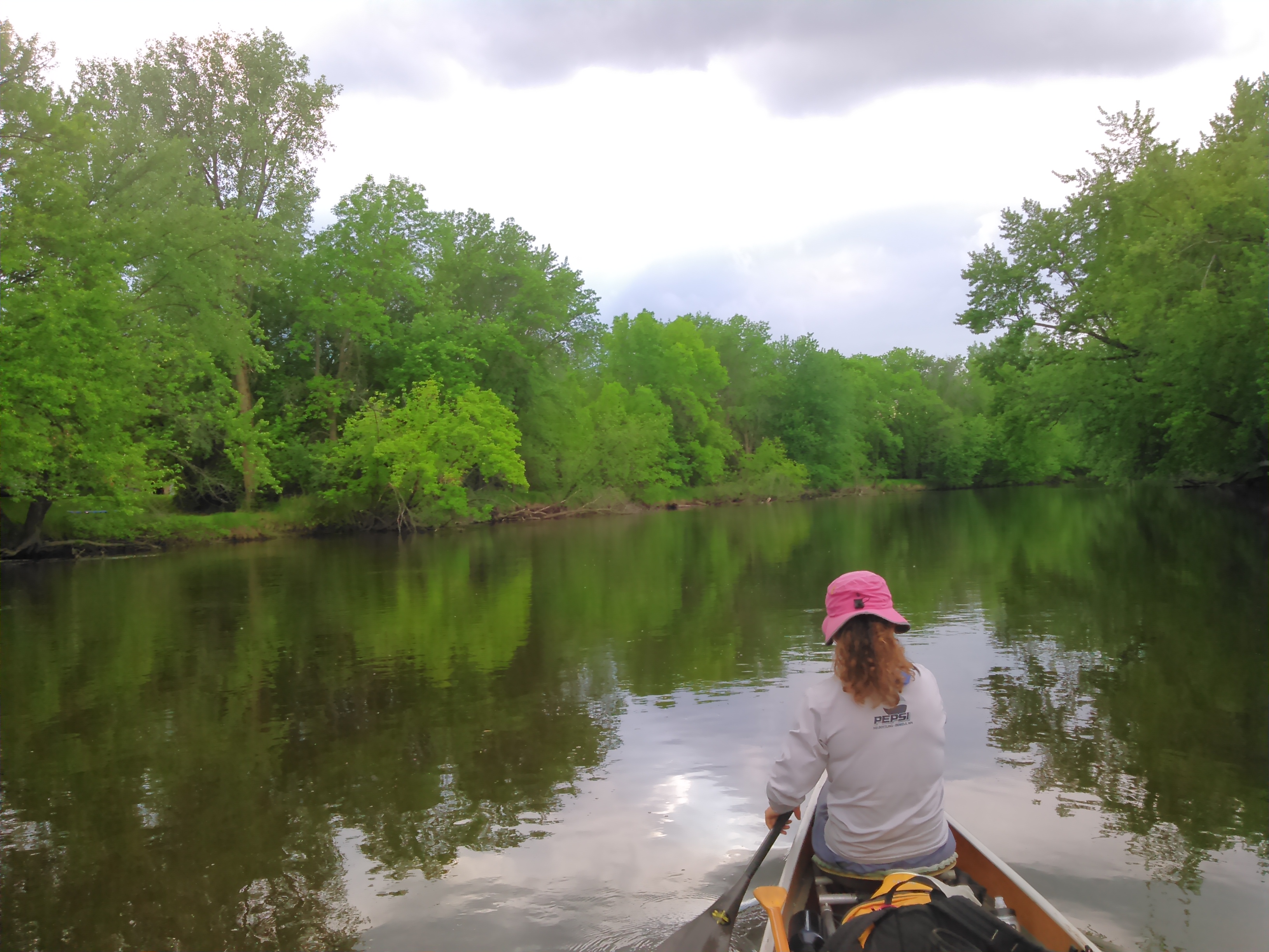
Throughout the trip we saw lots of eagles but now with the sun finally shining we saw a ton of turtles sunning themselves (although when we passed by they would leave their positions and dive into the water- one was even in such a hurry it flipped over on its way). We also saw an otter. And the miles slowly ticked by.

Eventually we got to the slackwater above the Rum River dam. There was a fishing boat in front of us puttering along in the no wake zone. Even though we were tired after paddling 50 miles, we put in a surge and passed that boat on the way to the dam. Our map said the portage at mile 0.8 was 30 yards on the right. That’s what we did but we found it quite difficult with some boulders at the end. It looked easier on the left. The new map still says to portage on the right but we’d recommend the left.
After the portage, it was less than a mile to go to the Mississippi. It kinda felt like a victory mile.
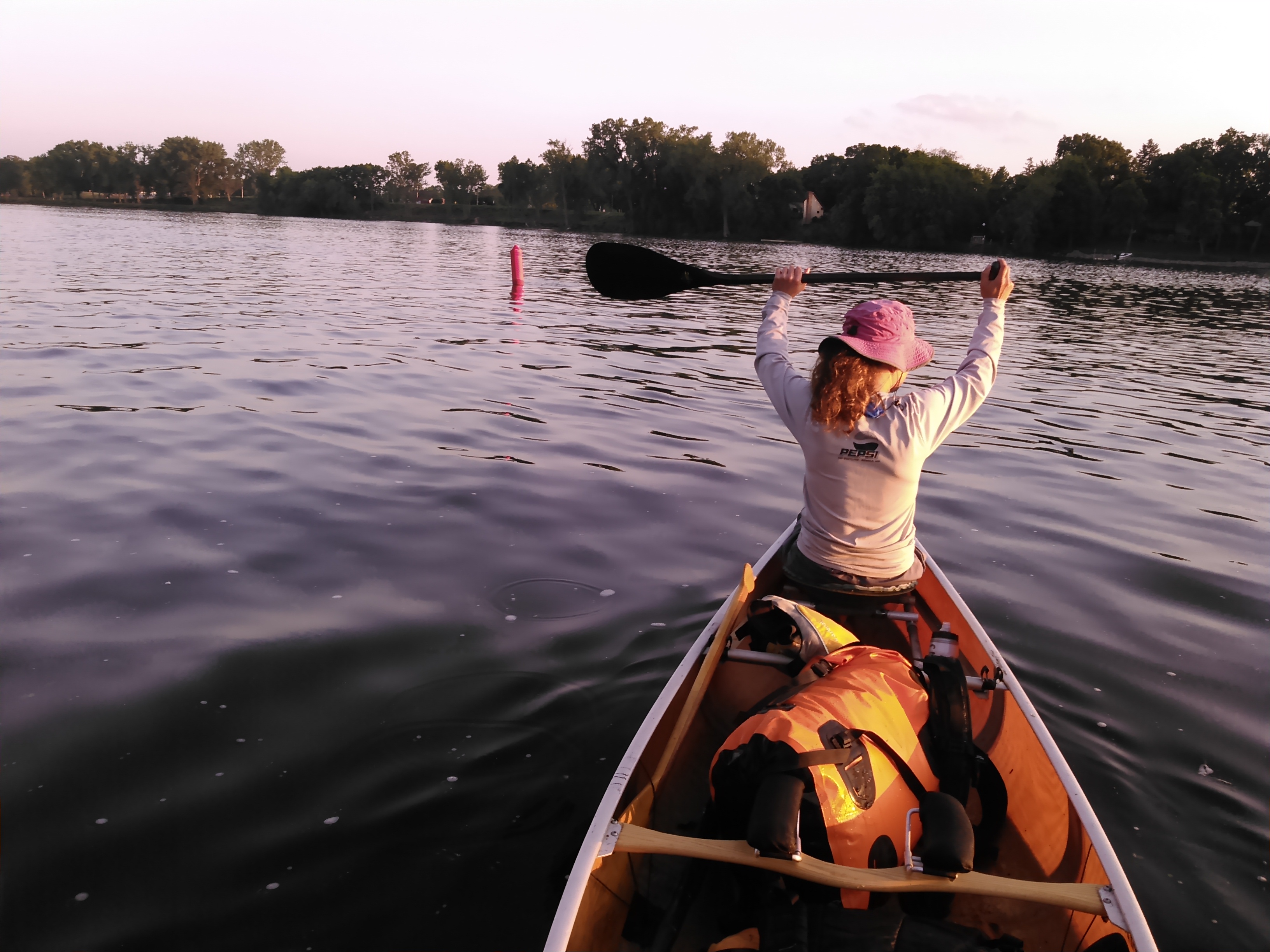
Of course we weren’t quite done yet. We had to paddle half a mile back upstream to the boat ramp and portage another half mile to where we’d stashed our car in Anoka. Then we still had to load up and drive half an hour home. We made it by dusk.
Erik lamented that he doesn’t like to end trips early but I was grateful for a shower, our bed, and a whole house without mosquitoes.
Overall the Rum doesn’t offer much topography but it does change in character from lakes filled with wild rice to a narrow and rocky stream, to a larger river obstructed in the transition by some log jams. There is little development along the entire shore. I don’t think we’ll do this trip all in one go again, but we may paddle some sections in the future during high water levels.
