
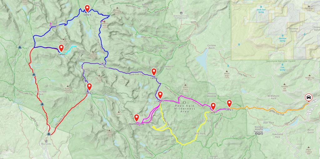
In August of 2015, Erik and I drove west to the Wind River Range. It was rumored the Winds backpacked like the High Sierras- immaculate trails, rare afternoon thunderstorms compared with the rest of the Rockies, and unprecedented views. We had to go check it out for ourselves.
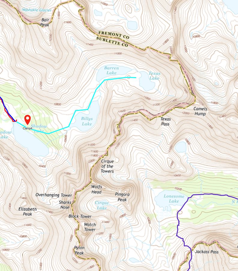
We started at the Bruce’s Bridge Trailhead on highway 131 southwest of Lander, largely because it portended the least amount of driving. This meant we’d have to do a several mile out-and-back to kick off and end the loop, but it’s worth it for me to drive less. Otherwise we ended up with a figure-8 loop of sorts, trying to hit up some of the best highlights in the south Wind River Range.
Day One: 8/22/15
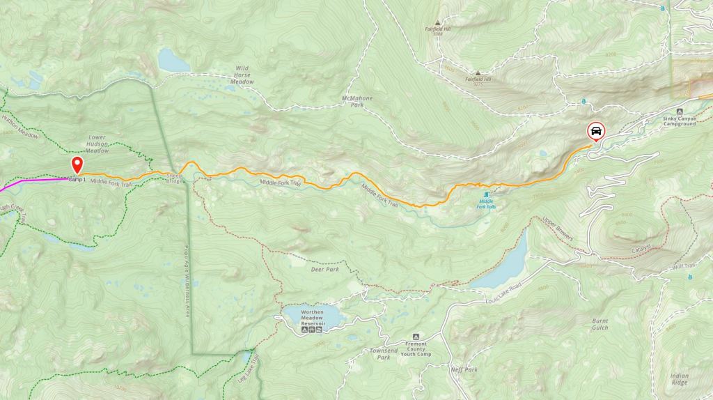
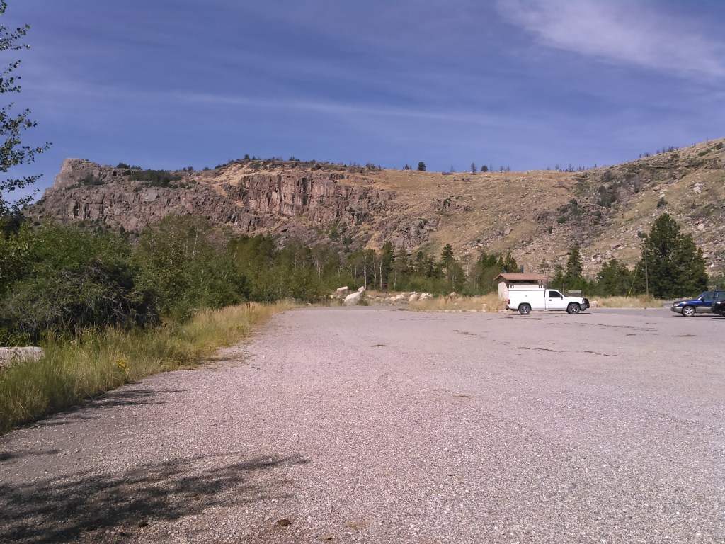
After spending the night at a hotel in the Black Hills, we made it to the trailhead by early afternoon and began hiking.

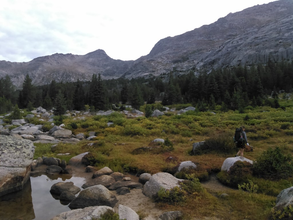
Despite our packs being somewhat heavy for us ultra-lighters, nearing 30 pounds with a weeks worth of food, we hiked at a swift pace for 3 hours before we called it a day, took off our packs, and set up camp. Perhaps we had more in us but the 18 mile run we had done the day before in the Black Hills on the Mickelson Trail as training for the Twin Cities Marathon had taken its toll. Our camp was heavily wooded above the Middle Popo Agie River without any particularly good views.
Day Two: 8/23/15

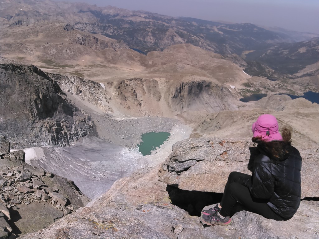
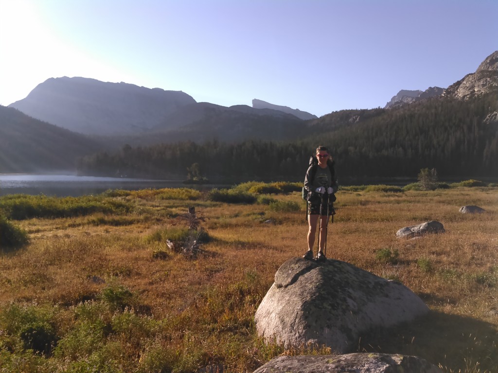
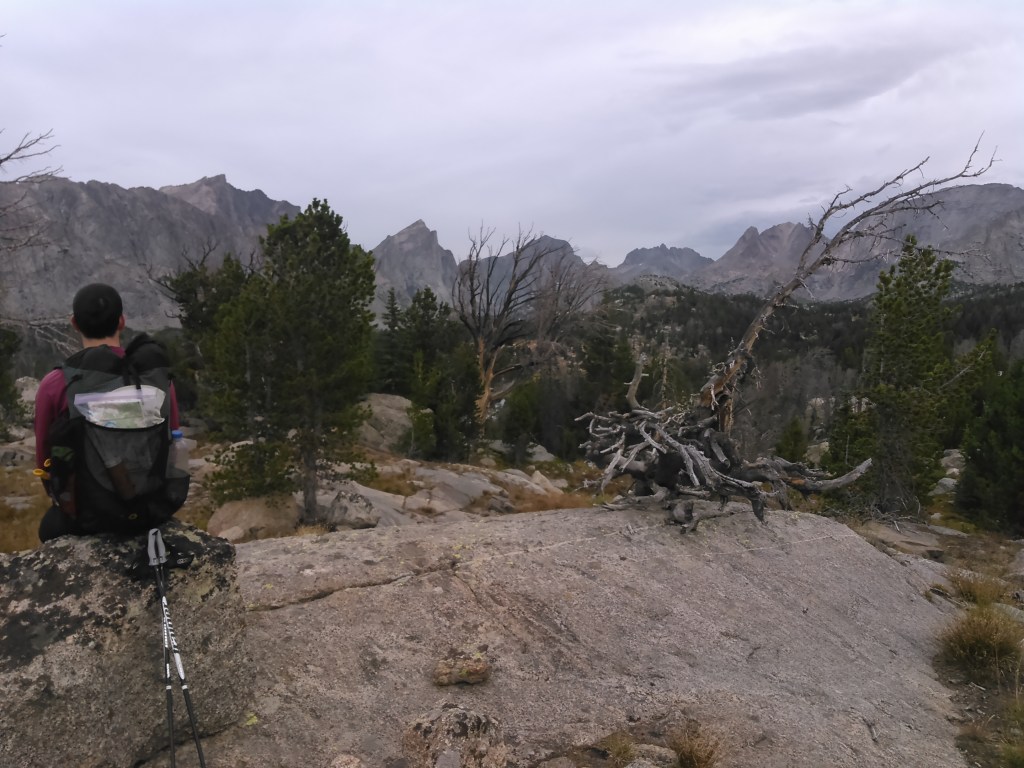
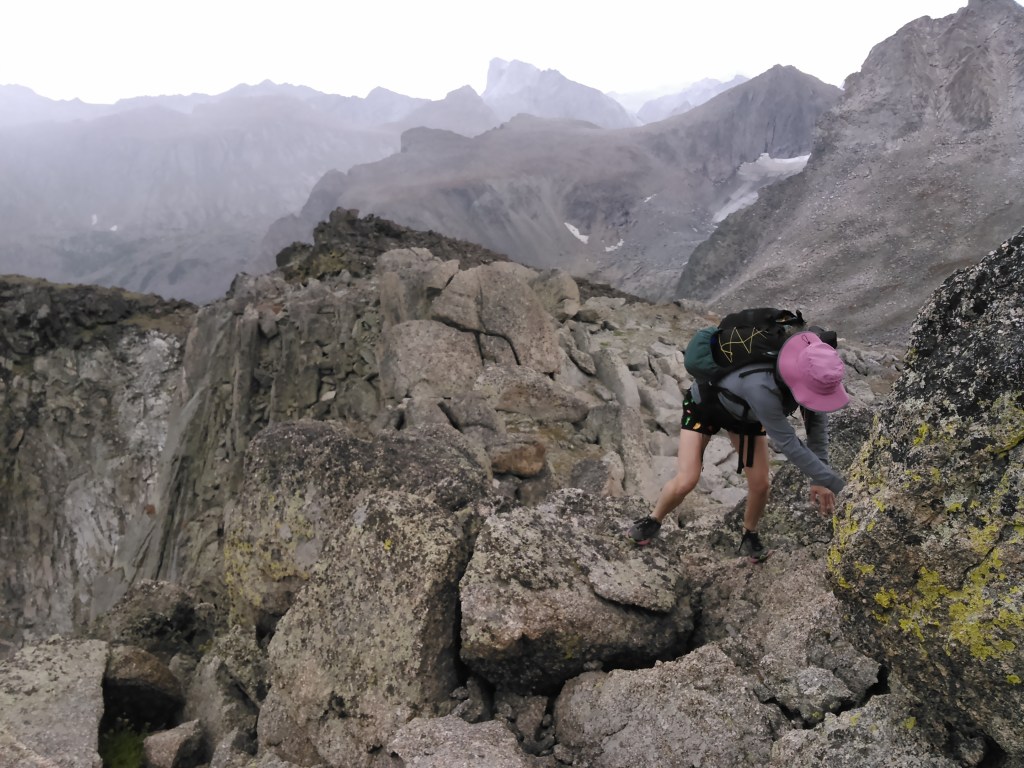
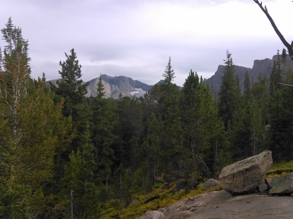
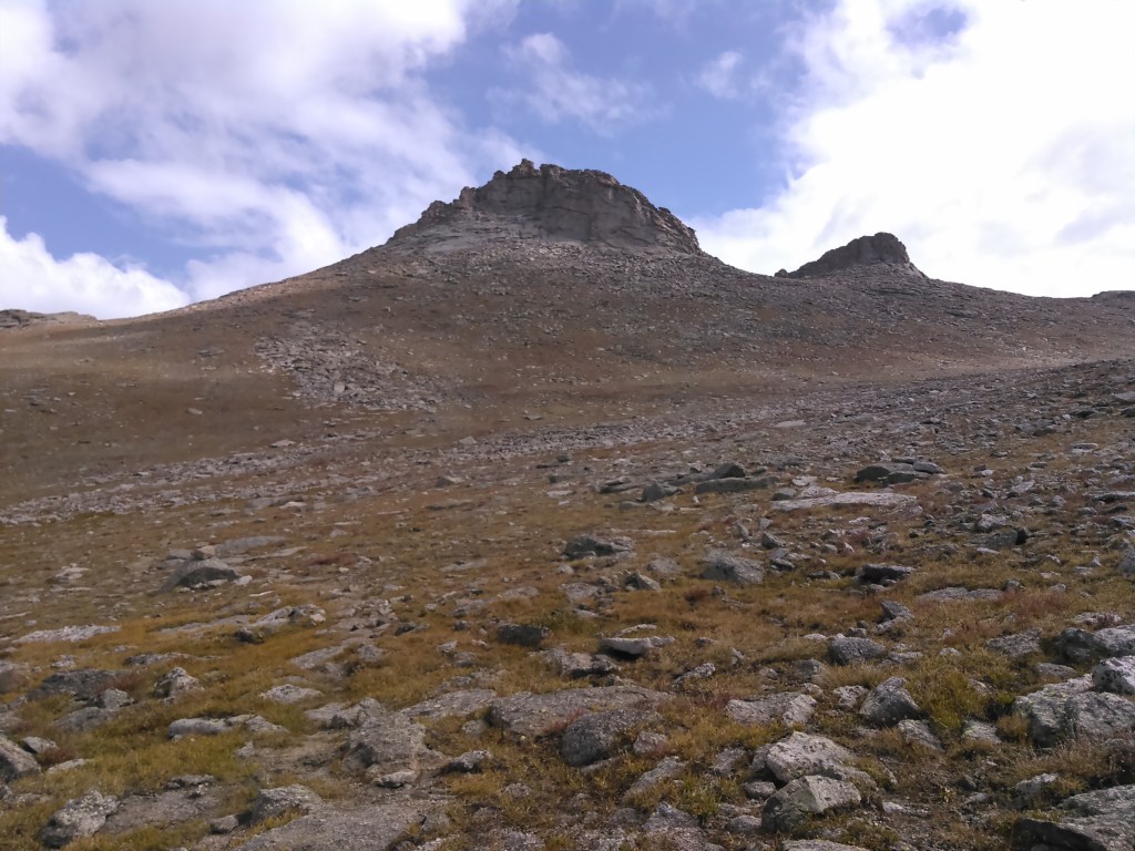
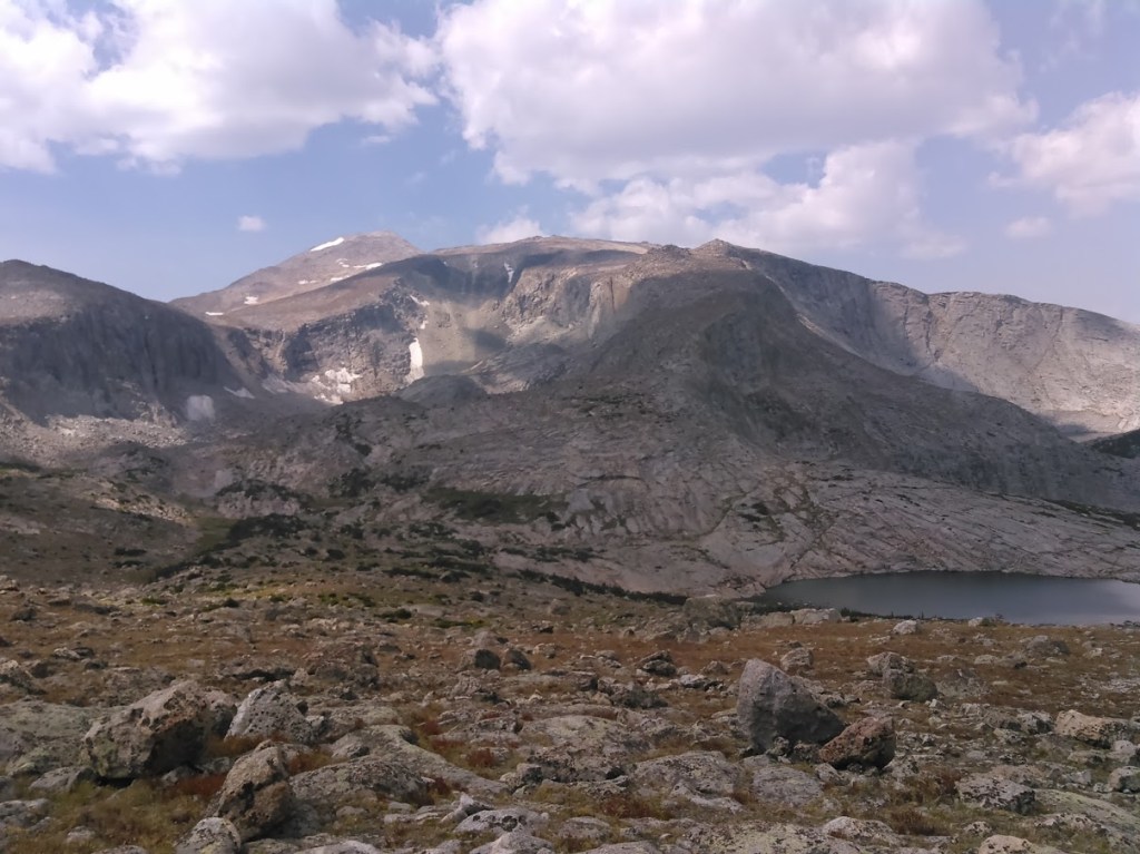
We woke early enough and got a move on as we had a 13,000 foot peak to climb. It was a cold morning and my hands froze for nearly the first hour despite a gradual uphill climb. The scenery again was through the forest which we wouldn’t break out of til nearly noon as we started our ascent of Wind River Peak from the Deep Creek Lakes area and the Ice Lakes Trail. Erik had read summit reports and scoured the map to find the easiest route up Wind River Peak, essentially taking the ramp that runs in the north-south direction just east of the peak.

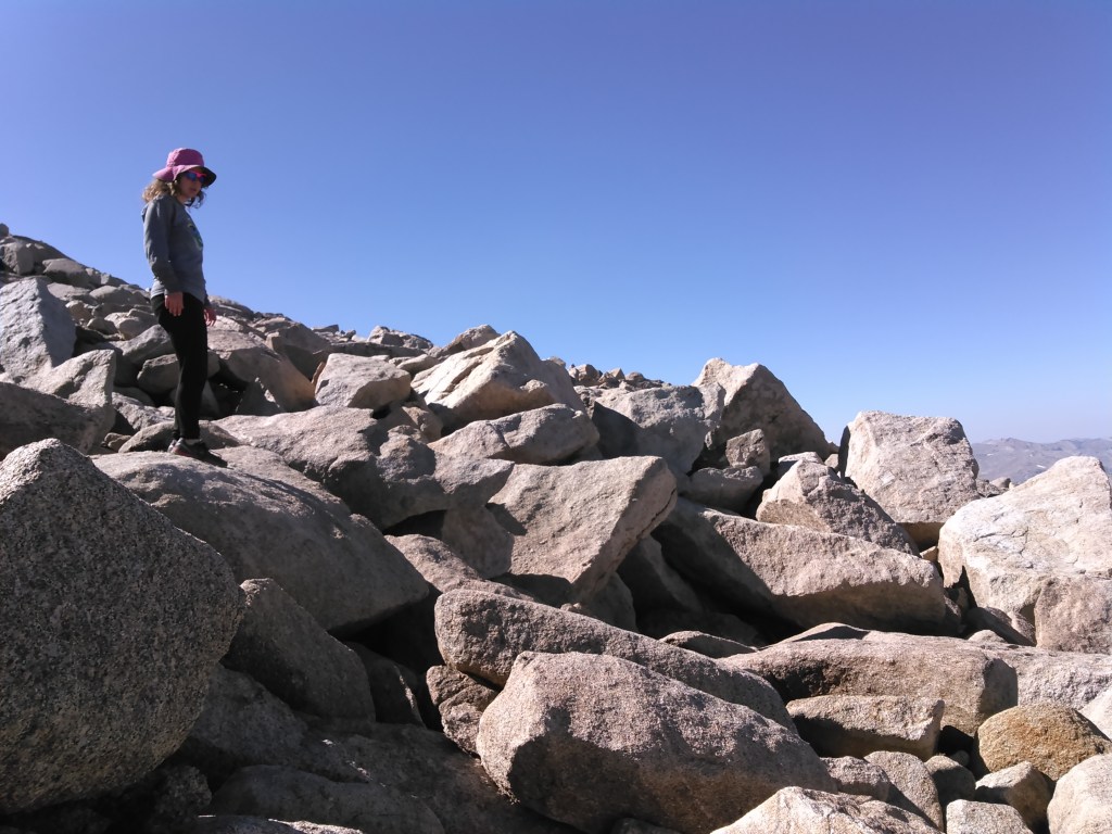
On the ramp it was easy going on grass scattered with rocks. Once the ramp ran out and we turned west to gain the summit, the boulders began, although I didn’t have to use my hands too much.
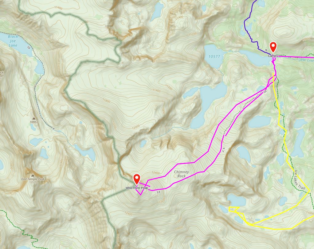

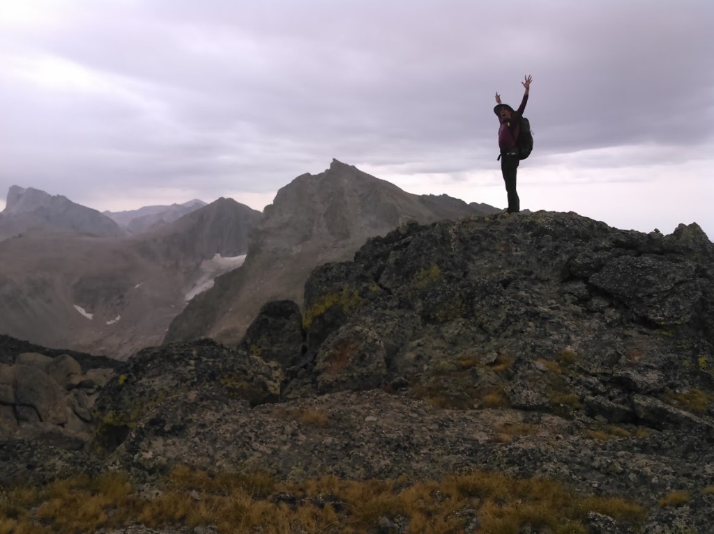
The view from the summit was well worth it.


Day Three: 8/24/15
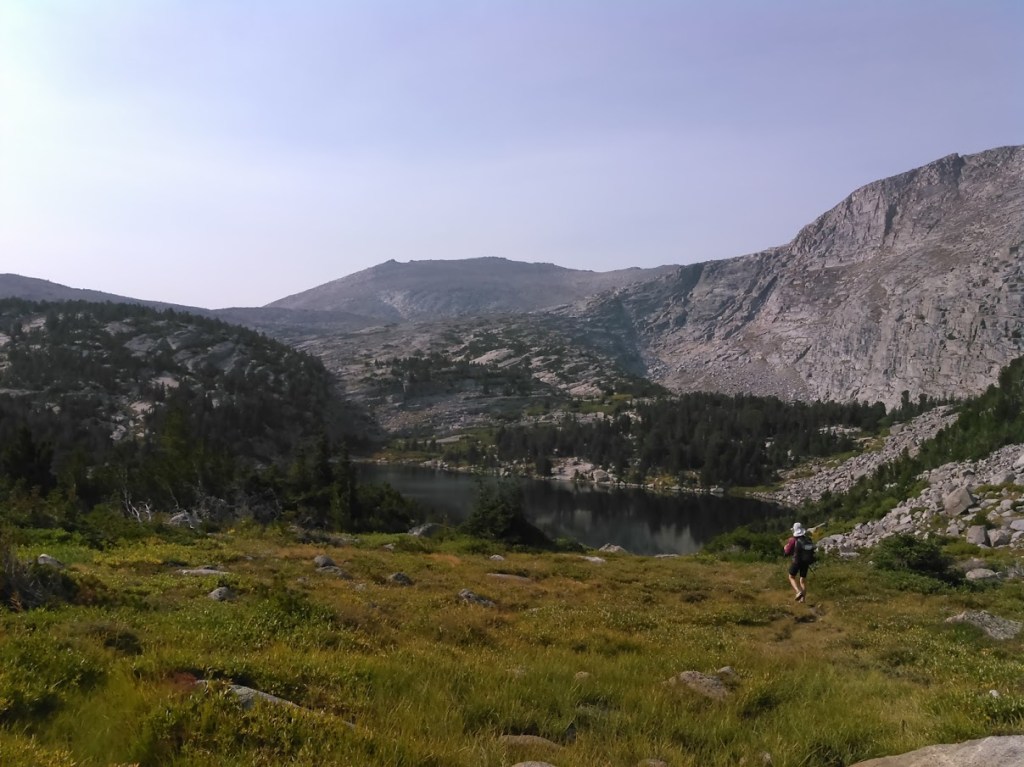
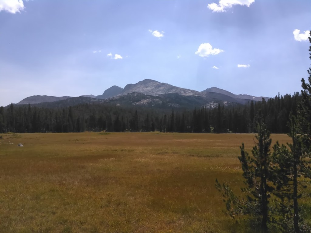
It was another early morning but this one was a bit warmer as we dropped elevation to Pinto Park, passing by the Echo and Baer Lakes which were in the trees and didn’t have many views.

Once we got to Pinto Park we turned left (west) and headed up the North Popo Agie River and gained some views of the Lizard’s Head and Cirque of the Towers in the distance. The trail was easy again except for a ford of the river and barely gained any elevation as we headed into the Cirque of the Towers.

Camping is not allowed within a quarter mile of Lonesome Lake so we planned to keep going. The Cirque is quite popular with rock climbers and we saw a few people carrying ropes.


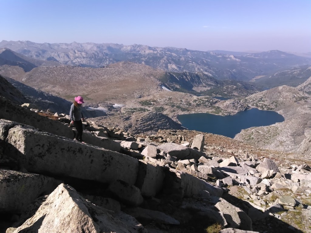
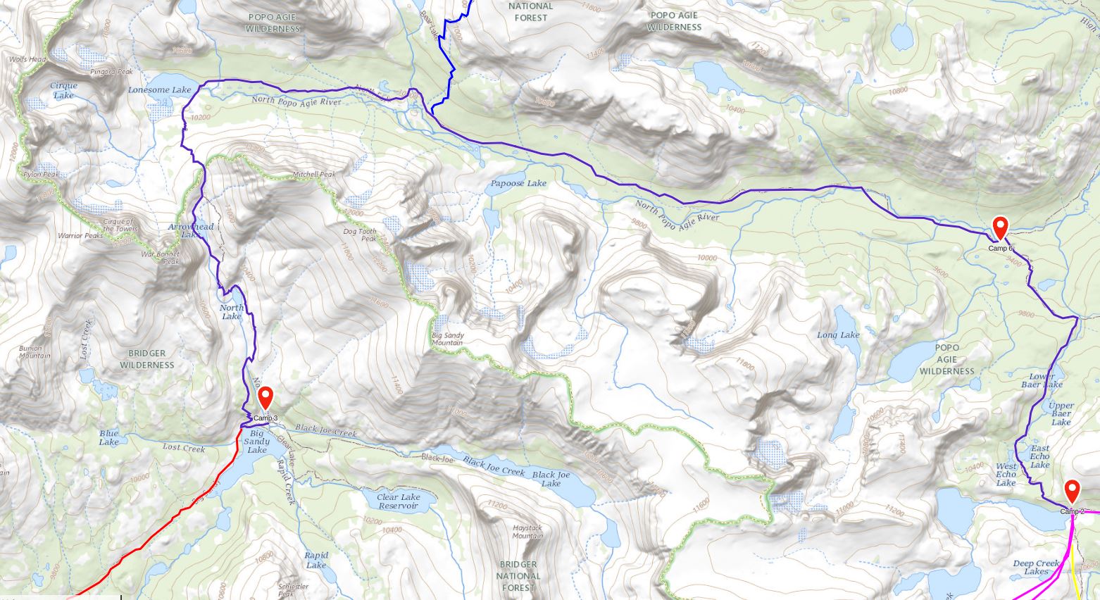
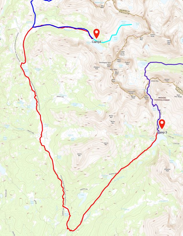
After our dip, we hiked south over Jackass Pass towards Big Sandy Lake. Considering Jackass Pass is on the Continental Divide, it gained a measly 500 feet of elevation. What it lacked in difficulty it made up for in views.

On the south side of Jackass Pass we descended to Arrowhead Lake. Here we got off the main trail and followed a social trail along the west side of the lake where we had to navigate a boulderfield. If you want the easy way, make sure to stay to the east side of the lake where the trail stays quite high.
After Arrowhead Lake we regained the main trail and it was fast walking again but we noted some building clouds.

Despite the clouds, once we set up our tent they had mostly passed. Ideally I would have gone swimming and was hoping for a sandy shore on Big Sandy Lake but no such luck. We used the tiny creek running near our camp as our water source as it was a bit marshy by the lake.

After dinner we walked around the east side of the lake. We thought about taking the trail to Black Joe Lake but ultimately weren’t that ambitious.
Day Four: 8/25/15
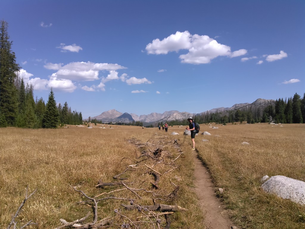
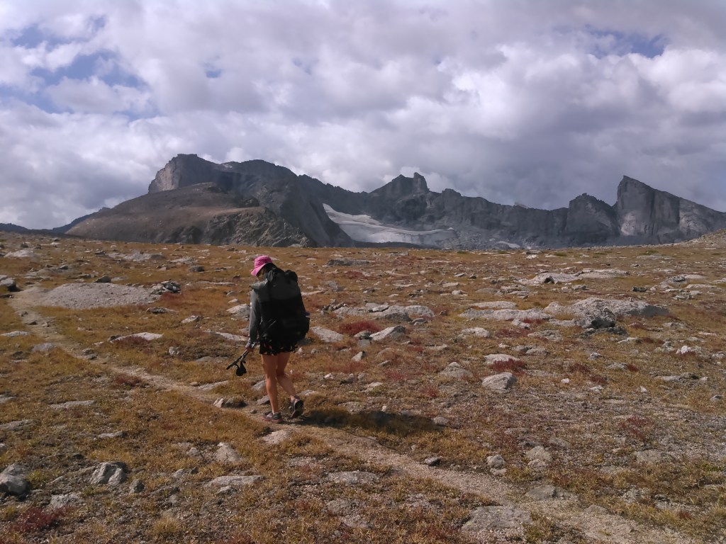
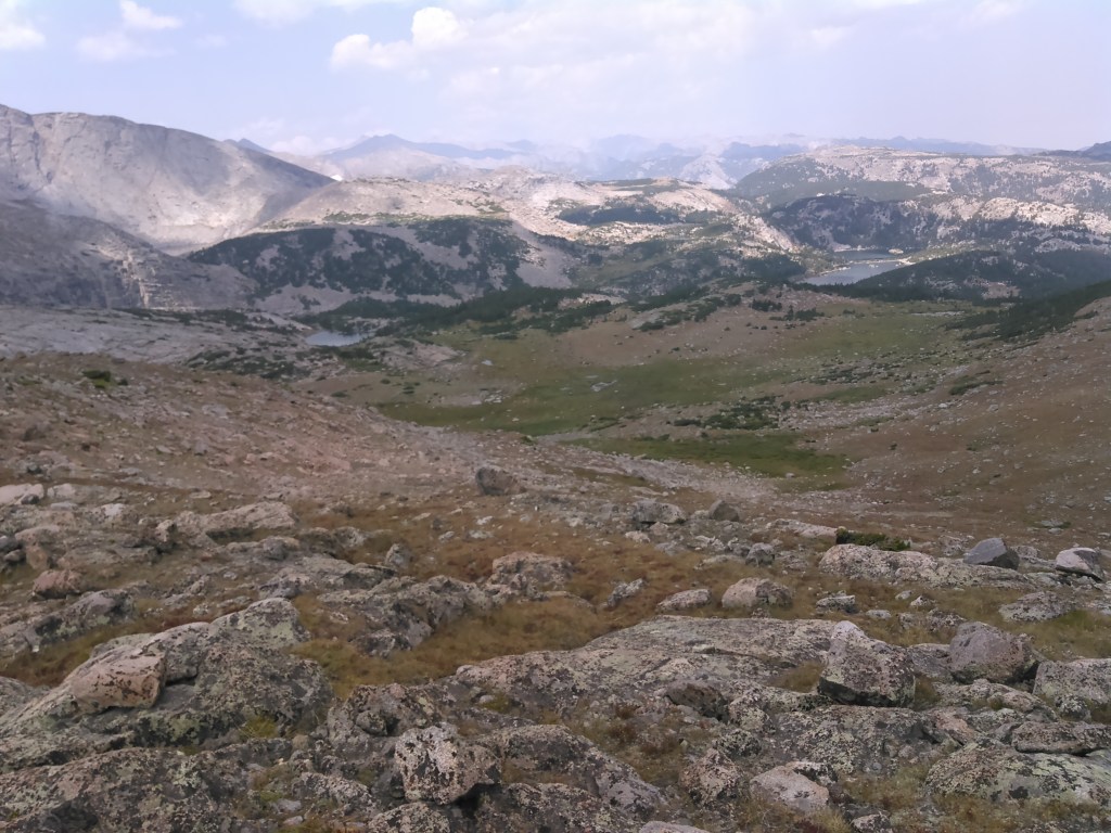
The map route here looks impressive but with little elevation gain or loss and pristine trails, we were really able to cruise! Ideally there would be a high mountain pass to cut off some mileage and gain some views but there is no such trail and we didn’t think about making our own.
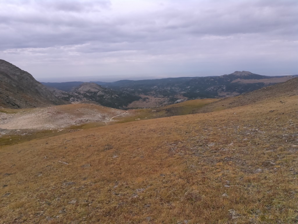
The west side of the divide was incredibly dry. We encountered a public works crew from Montana- they were working in Wyoming because there were too many wildfires in their state. After thanking them for their work we continued on in the mostly treeless and brown grass landscape with mountains in the distance.

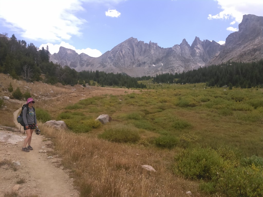
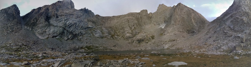
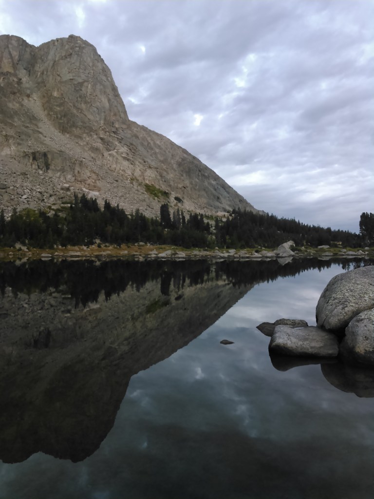
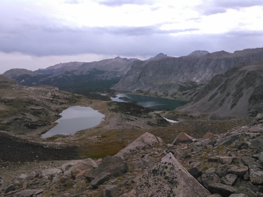
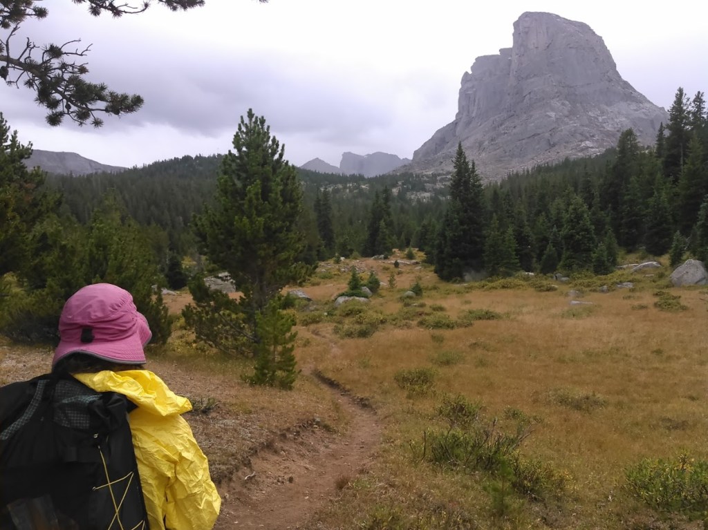
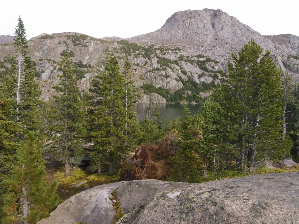
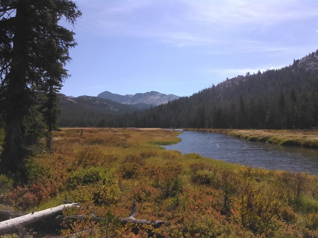
Our guidebook had a beautiful photo of Shadow Lake. Even though I don’t much like detours, I decided it would be worth it and it surely did not disappoint. Shadow Lake is on the opposite side of the Cirque of the Towers from Lonesome Lake and considerably less popular.

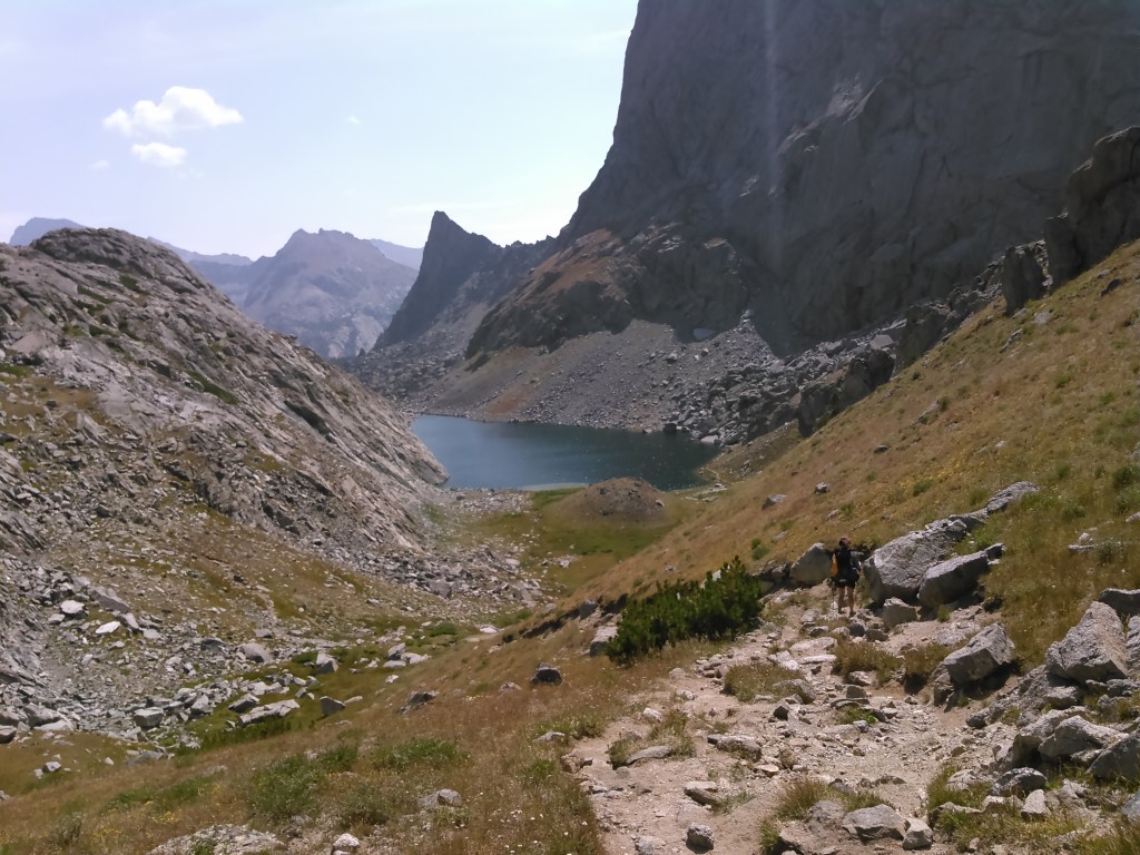
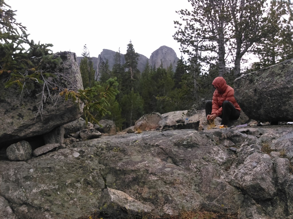
We made it to camp by mid-afternoon, almost too much time to wash up and set up camp. The view speaks for itself.
Despite all the miles on the day, they had been easy and so after dinner we found ourselves with a couple hours to kill. Thus we hiked up to Texas Lake to have a look at Texas Pass. By sticking close to the creek to Billy’s Lake we found a social trail and then found the rocks easy enough to walk on as we went around Barren Lake to Texas Lake.
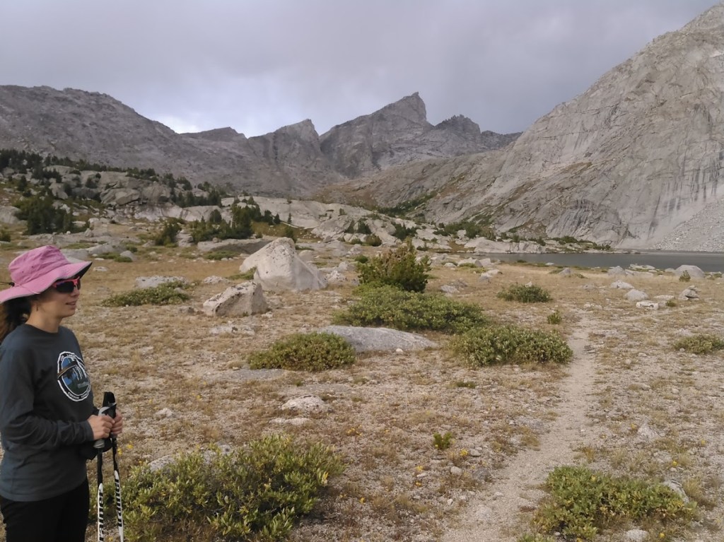
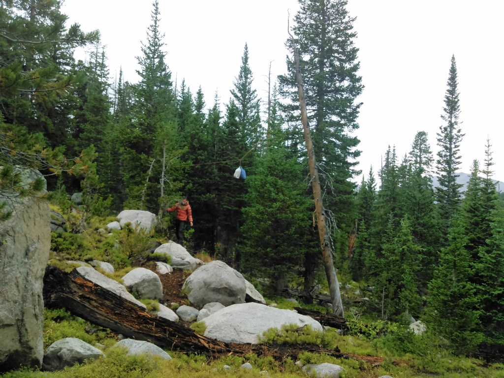
It was just about dark by the time we stumbled back into camp. This was our first trip with Smart Phones and Erik was glad to be using the GAIA GPS app where we had marked our campsite before we left.
Day Five: 8/26/15

Now it was time to go back over the divide. We debated on Washakie Pass versus Hailey Pass, wanting to do them both. Ultimately we decided on Washakie. Unlike the previous days, this one started out cloudy.

As with just about all the trails in the Winds, the Washakie Pass Trail was quite gradual but gained more elevation than Jackass Pass. It was still ridiculously easy compared to the big passes in the southern Sierras.
Even though the clouds were threatening, the day was young and the pass hadn’t been challenging. Erik and I considered our options for a side summit and landed on the easiest one- Bernard Peak. It only required a bit of scrambling but was mostly alpine grass.

Given the clouds, we certainly didn’t linger and began making our way back down. Perhaps the problem with the south Winds is that just about every lake looks really good for camping. It was hard passing up Macon and Washakie Lakes but we had some more miles to make. We detoured out on the peninsula of Washakie for a lunch break, surprised it wasn’t well trodden. As we left Washakie Lake, it began misting and then raining. Briefly the trail skirted a stream.
“This is what they call a good hiking trail out east,” I joked in reference to the many trails in the Adirondacks that are literally creeks.
On our ascent to Valentine Lake we passed through a meadow that looked like an ideal spot to build a cabin with a view of the continental divide. My memory fails me and perhaps there even was a cabin there. Anyway, if I could build in wilderness, that would be the meadow.
Day Six: 8/27/15

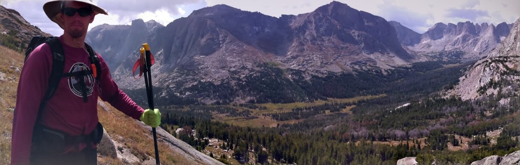
Today was our day for the Lizard Head Plateau- aka a slice of heaven.

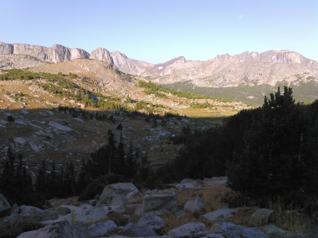
We’re always summit hungry so we hiked/climbed Cathedral Peak on the Lizard Head Plateau.


We hiked down from Cathedral Peak and continued south along the Lizard Head Plateau.


Initially my plan had been to circle back up to the Smith Lake Trail just to the east of Lizard Head Plateau and then go out around Shoshone Lake but it seemed we had some time to kill so instead we decided on a farther south route. Our intent was to make it to one of the Baer or Echo Lakes but it got late so we camped near Pinto Park.
Day Seven: 8/28/15

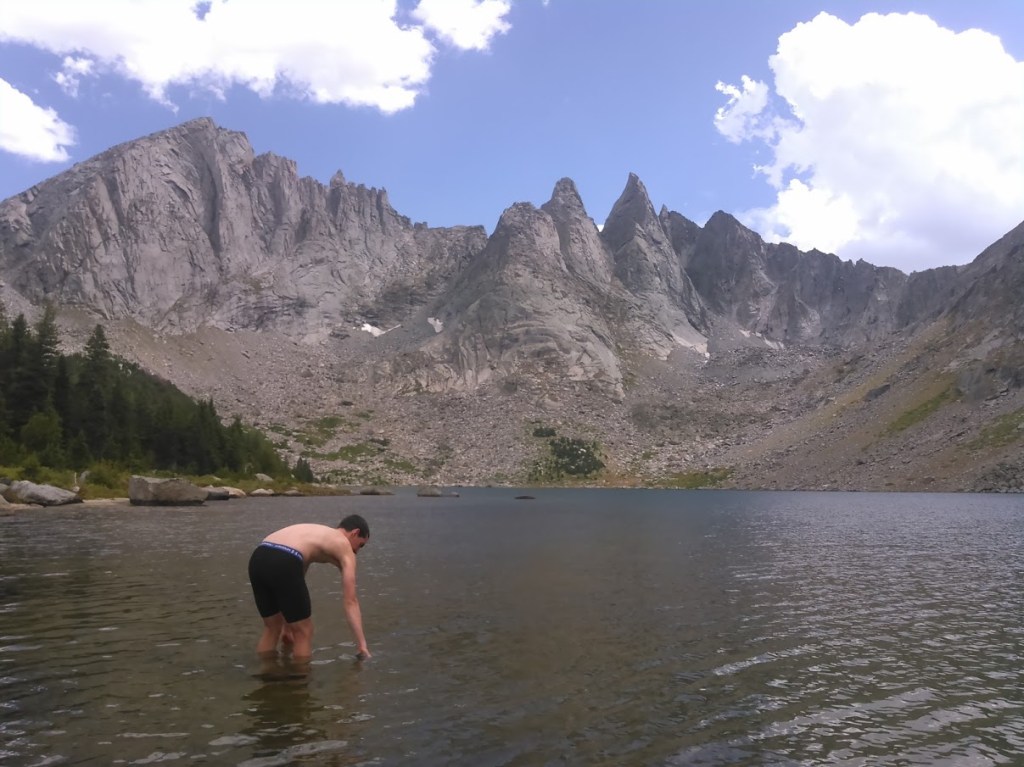
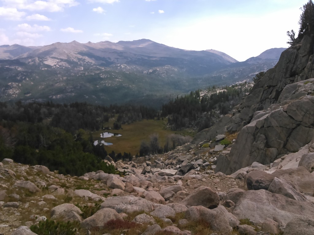
Our route this day was a bit goofy but essentially we checked out the Ice Lakes and the Middle Popo Agie River.

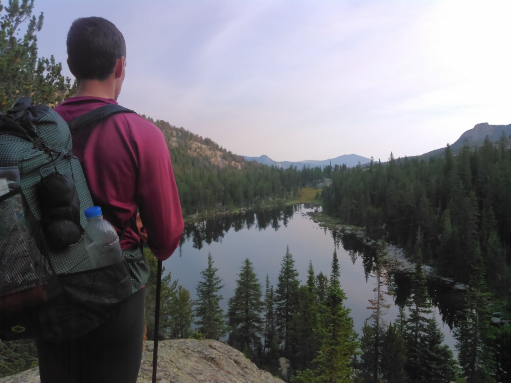

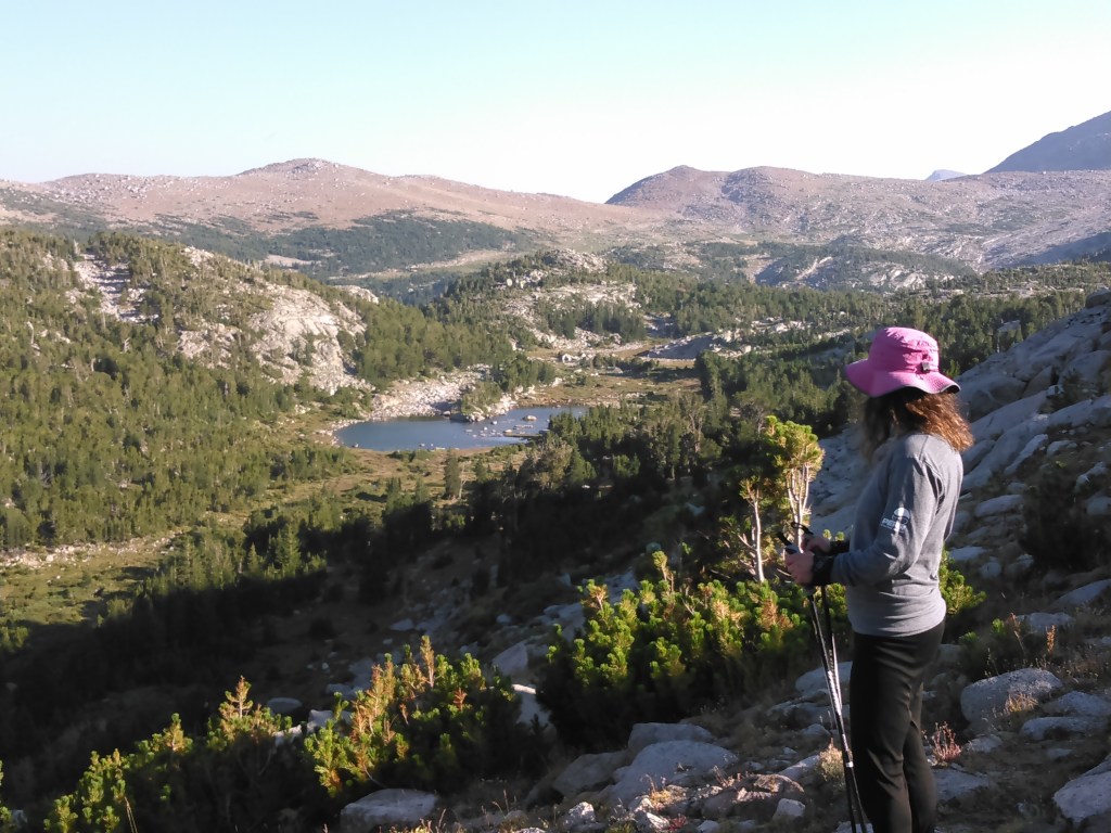
Our detour didn’t last too long, just long enough for Erik to go swimming in the highest of the Ice Lakes, and then we got back on trail for the descent to Tayo Park.
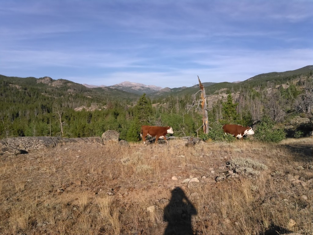
Just before we got to Three Forks Park we encountered some free range cattle. We weren’t too jazzed about setting up camp where we could be trampled by cows. Hence we forded the Middle Popo Agie River at the trail crossing and kept walking for a bit. There was plenty of evidence of cows grazing but we didn’t see any more so we set up our tent. That night I enjoyed watching the fish eat flies on the river.
Day Eight: 8/29/15
We had to drive all the way back to the Black Hills so we didn’t want to have to hike out too far.

As we hiked out we encountered two different cowboy trains. We considered ourselves lucky to have had a cow-free camp.

Just like the rumor, the south Winds were definitely similar to the Sierra’s- although the hiking even easier without much elevation change. It’s knee-friendly wilderness with stunning views.
If we had to do this trip again: I would do it just like we did. It doesn’t get much better than this.
Best decisions: Everything. Well maybe, doing Wind River Peak and camping at Shadow Lake.
Next time: Oh, there will definitely be a next time. I’m thinking about a route from the same trailhead (Bruce’s Bridge) where we would then head north up to Shoshoni Lake, then into the Smith Lakes Trail, off-trail up to Lizard Head Plateau, down the Bears Ears Trail but to Grave Lake, Hailey Pass, back into Shadow Lake, actually do Texas Pass, and back out.

One thought on “A South Wind River Range Backpacking Loop with Wind River Peak”