
After a few years of Erik telling me we should take the train to Glacier National Park, I conceded and so off we went, in a sleeper car from Saint Paul, Minnesota to West Glacier, Montana.
Staying in a sleeper car was well worth the price. It was cozy and I got much better sleep than had we been in coach. All meals are included with the sleeper car and meal service was slow, hence, we spent a good deal of our day in the dining car. At least this made the time go by quickly.
The scenery through North Dakota and Montana isn’t terribly exciting, at least not until we got to East Glacier. We spent the time between East and West Glacier in the viewing car as we sped along the Middle Fork of the Flathead River. Given that we arrived in West Glacier after dinner, we got a hotel there for the night before starting our backpacking trip.
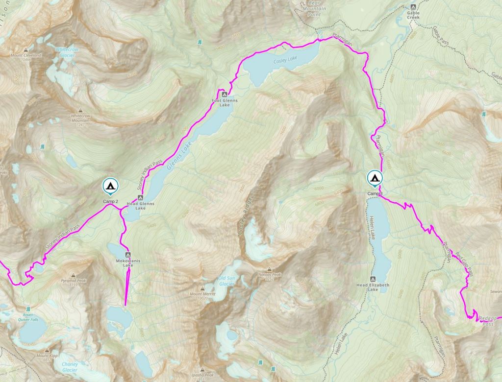
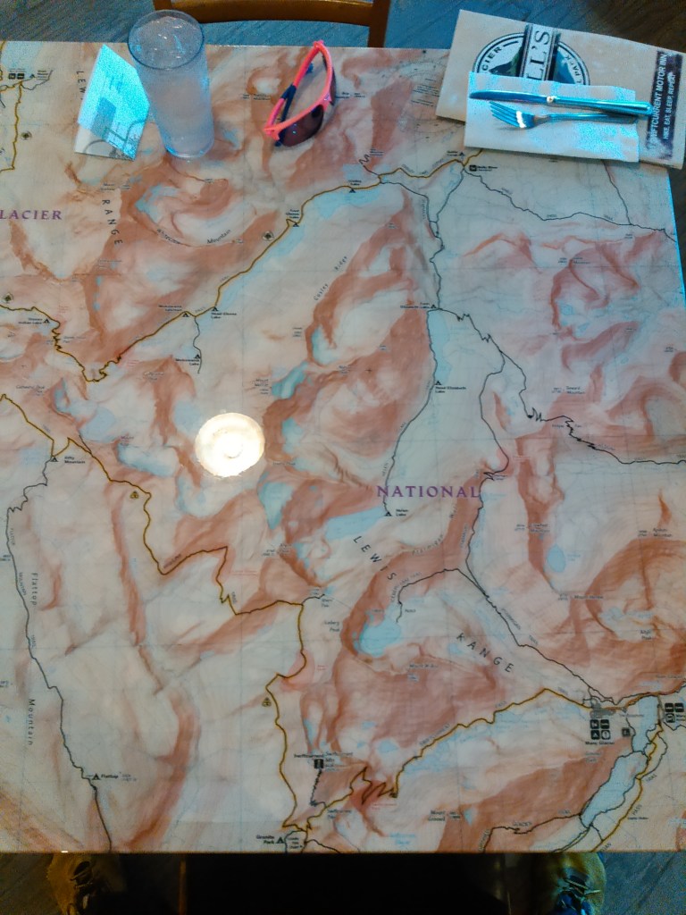
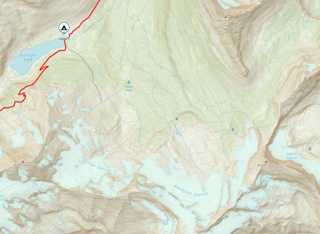
We poured over the map of Glacier National Park for months before deciding on a route. Then we applied for permits, hoping that our desired backcountry campgrounds would be open. We broke our trip into two sections, with a night in a hotel at Many Glacier, hence, we got the permit we wanted for the second (south) half of our trip, but not for the first (north) half. Glacier has a rule that permit applicants can’t travel more than 15 miles in one day. The only exception is that the day of, in person, they grant permits for farther.
And so, we woke early from our hotel and were off, walking quickly the three miles from West Glacier to the Apgar Ranger Station to get in the permit line early. We made it and got our desired permit which meant two 19 mile days in a row, not counting the three we’d just walked. Next we caught the park shuttle to Logan Pass where we began our hike.
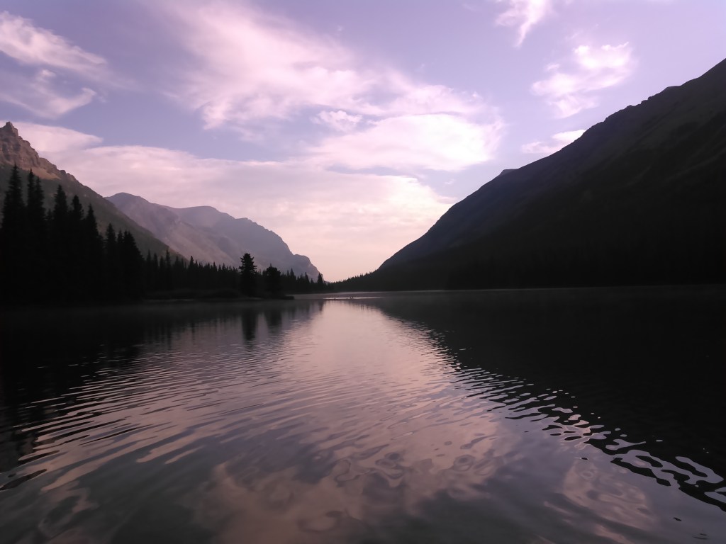
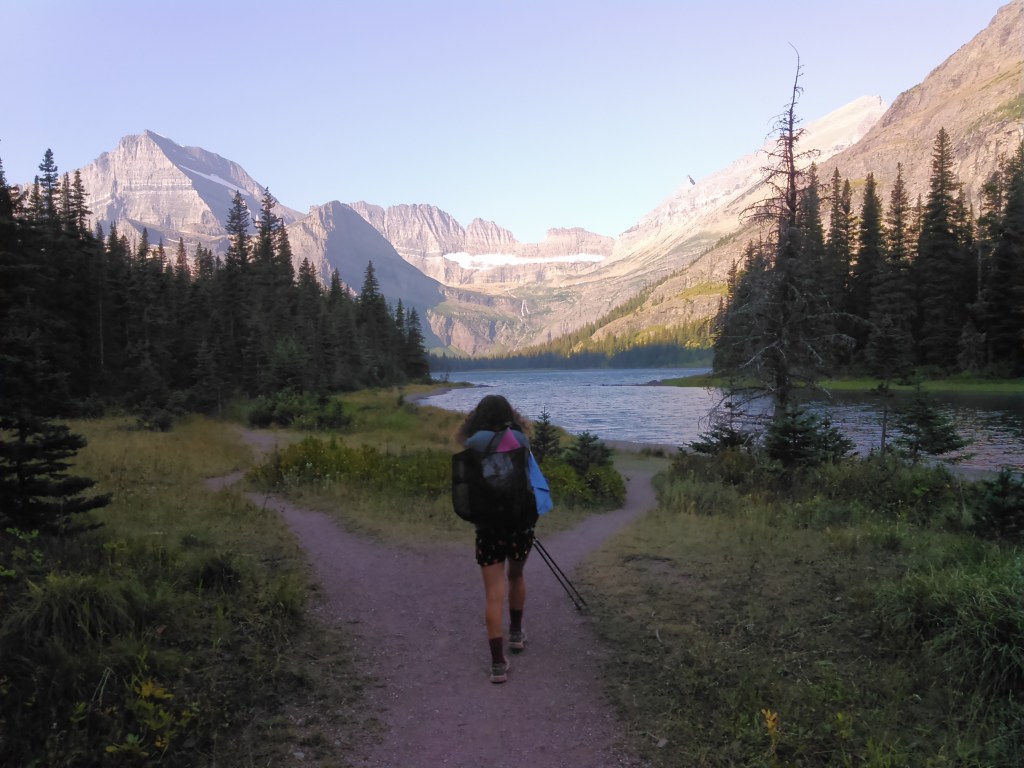
Day 1 (8/28/2016): Logan Pass to Flattop Backcountry Campground

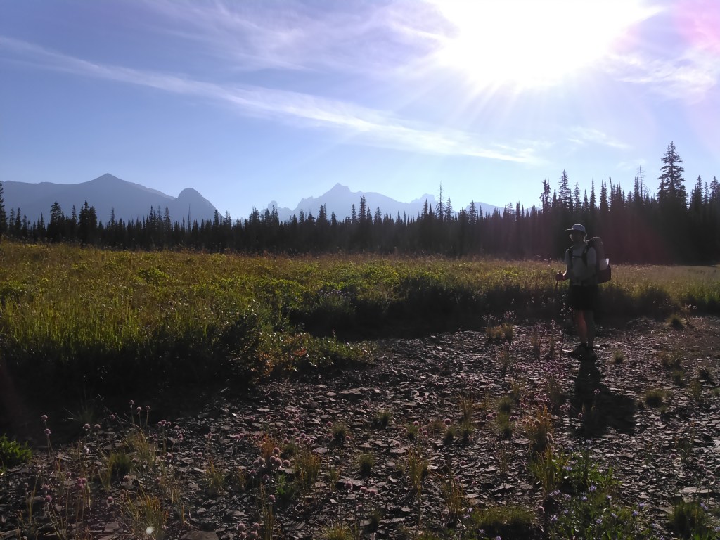
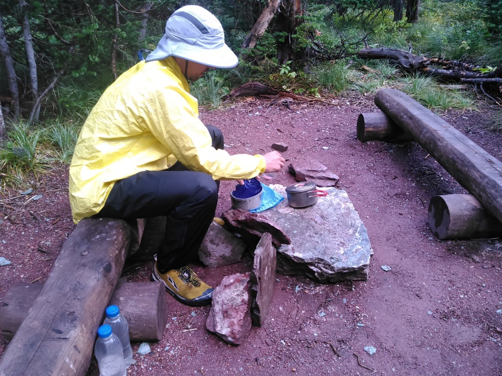
As previously noted, Glacier National Park requires permits for specific backcountry campgrounds. Each campground has a few campsites (that are assigned) with some having more than others. Due to bear activity, the campgrounds have a communal cooking area, a pole for hanging food, and separate campsites located a ways from the food and cooking. They also have an outhouse.
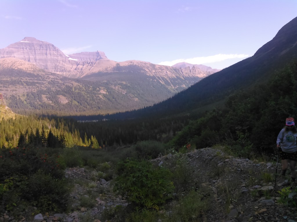
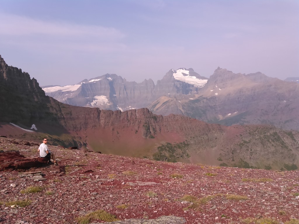
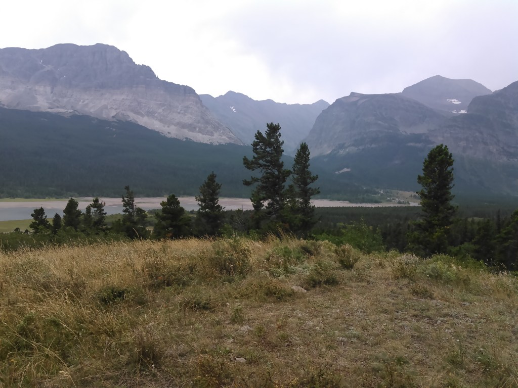
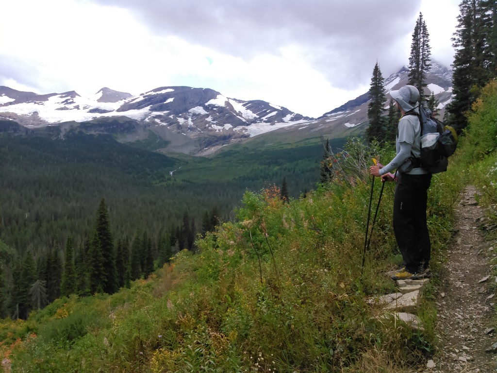
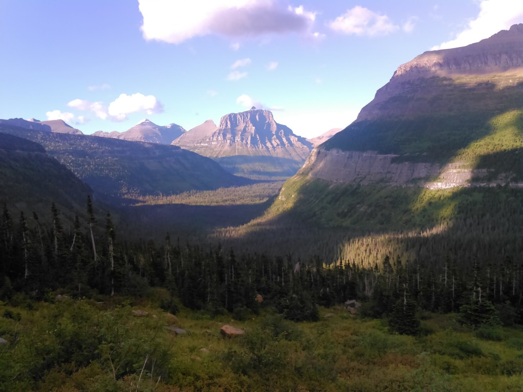
After taking the shuttle bus to Logan Pass, we first explored the area around the visitor center and had some food. Then we crossed the Going to the Sun Road and began hiking mostly north along the Highline Trail.
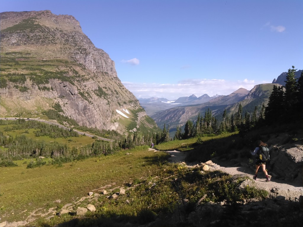
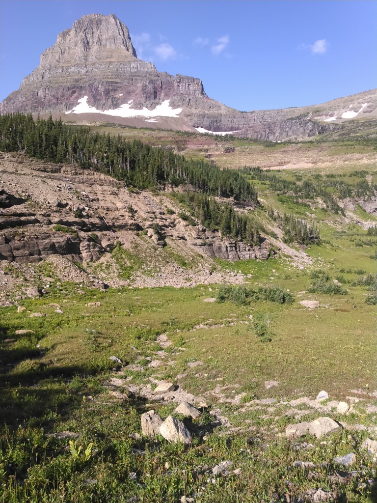
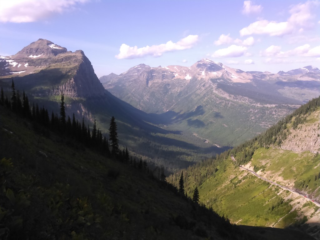

The Highline Trail was quite popular. The views were spectacular- all above treeline. Many people seemed to be heading to the Garden Wall Trail to the Grinnell Glacier overlook. I wanted to hike up there, too, but knew we already had more miles than I was prepared for to go, so we passed it up. I would regret this for days. In hindsight I know there is simply more to explore in this world than I ever can, even if that’s all I were to do for the rest of my life!
Glacier National Park is home to some old huts and hotels (although wildfires have claimed many) and the first one we came to was the Granite Park Chalet.
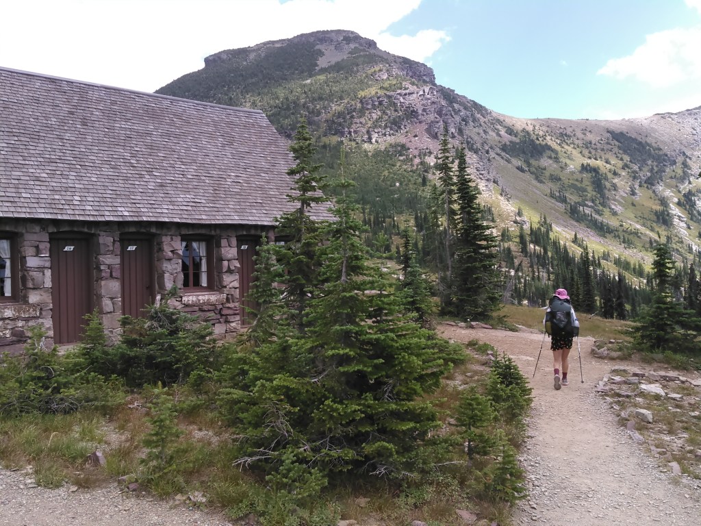
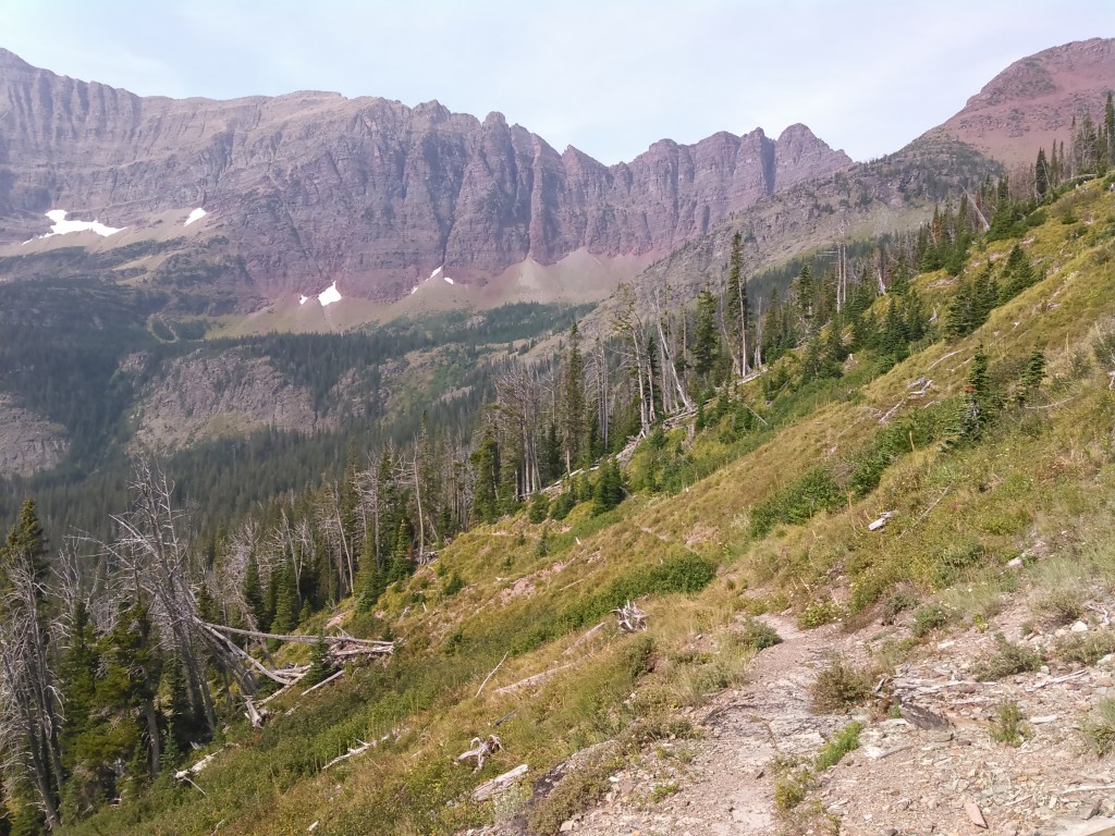
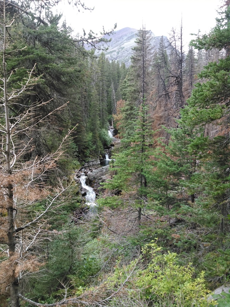
After the Granite Park Chalet we had to descend on the Granite Park Trail to get to our campground. While the Highline Trail has great views, it doesn’t have many campgrounds.
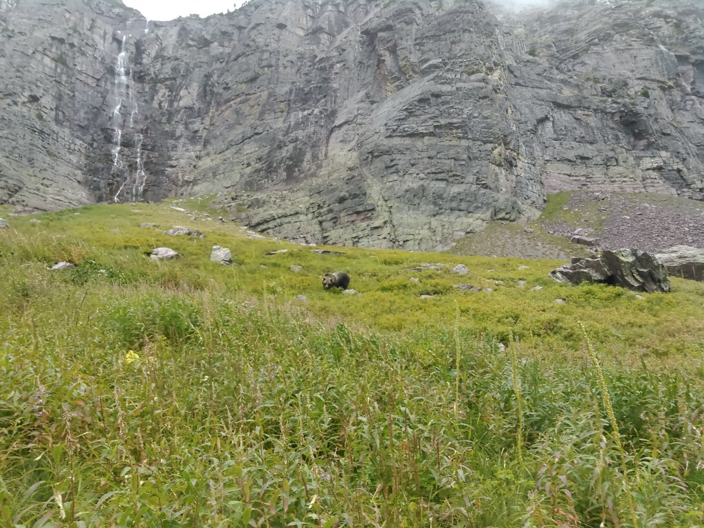
As we descended all the way to the valley, the forest got dense. We passed two trail intersections and were soon in some lower, wetter terrain on the Flattop Mountain Trail when all of a sudden we locked eyes with a black bear walking towards us on the trail. Although we had been talking, we saw each other at the same time. We stopped and the bear, 20 feet in front of us, scampered off into the woods.
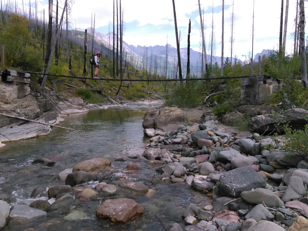
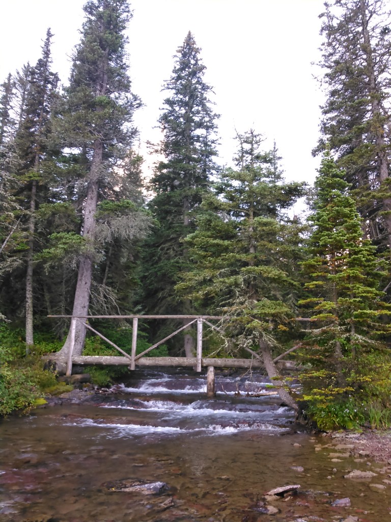
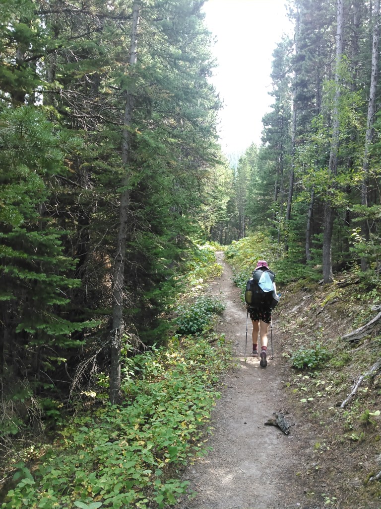
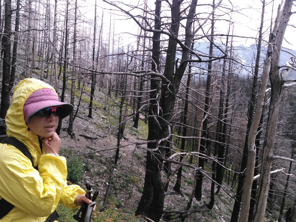
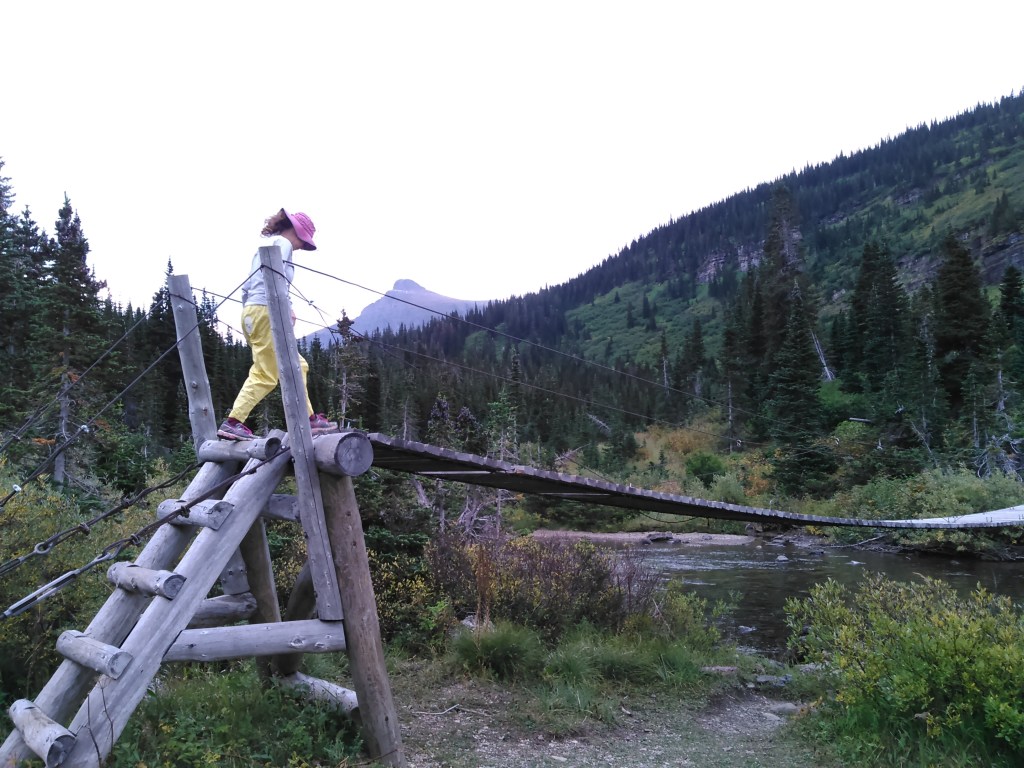
After that, for awhile at least, we tried to talk louder. As we began our ascent we entered into burned forest and crossed a swinging bridge.

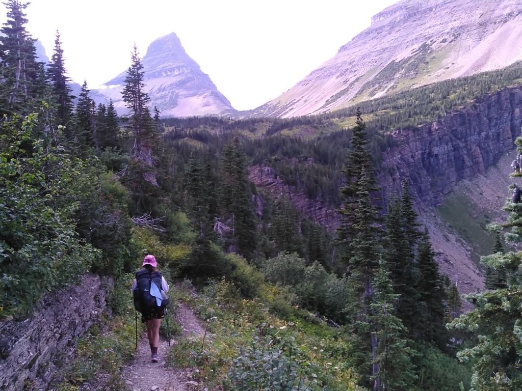
The day drug on as we climbed. It wasn’t a huge climb but seeing as we had seven days worth of food and 22 miles total on the day, it was a long day.


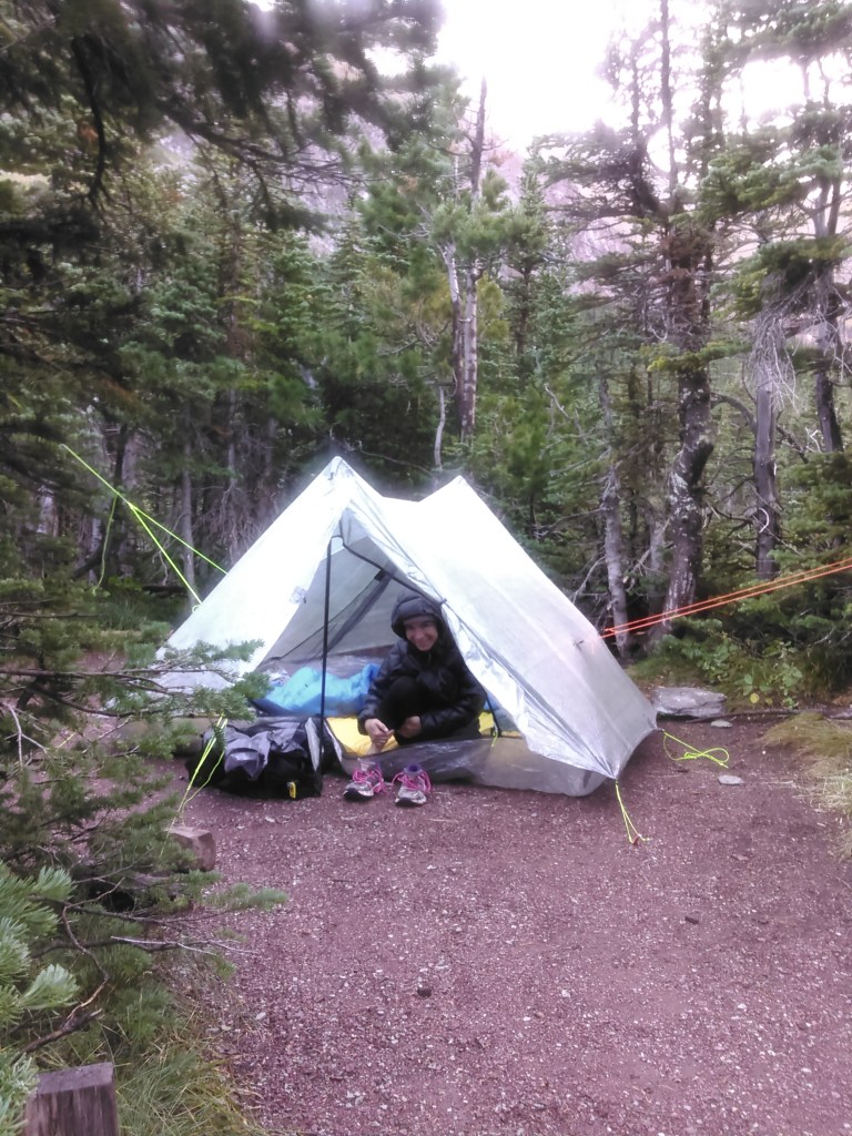
We also found an original MSR PackTowl (size medium) made from microfiber at this camp that had been left by a previous owner. Erik suggested I make it my pee rag. I had been debating jumping on the pee rag bandwagon and with Erik’s nudging decided to give it a try. It took a bit of getting used to, but soon I couldn’t backpack without it. There was only one other camper in the campground that night and he arrived after we’d already finished our dinner.
After dinner we had some fun pushing over dead trees and jumping on others that bounced like a trampoline before going to bed.
Day 2 (8/29/2016): Flattop Backcountry Campground to Mokowanis Junction Backcountry Campground
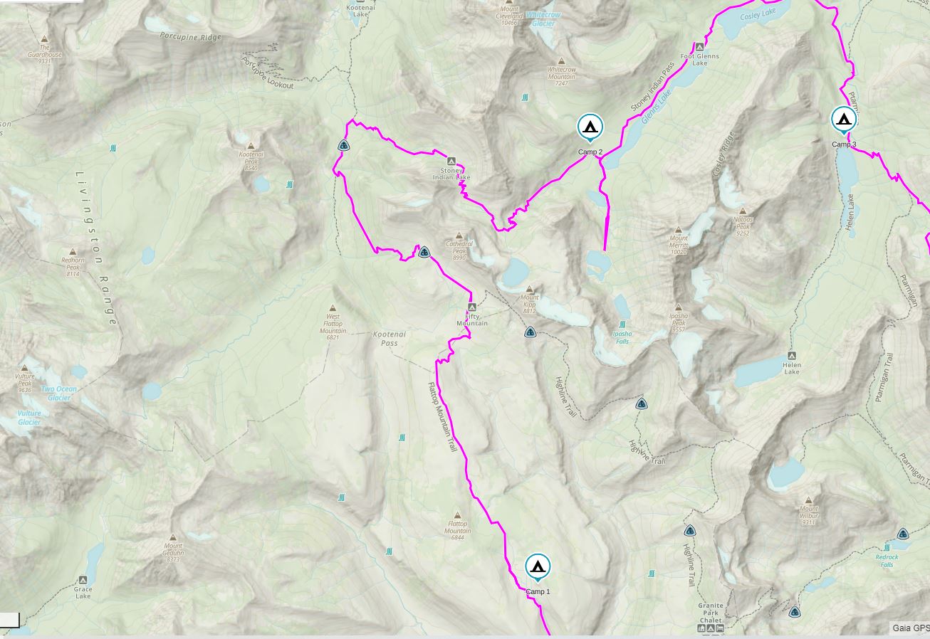
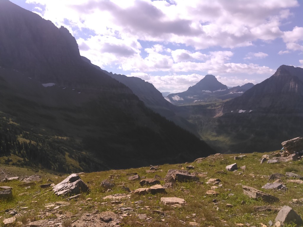
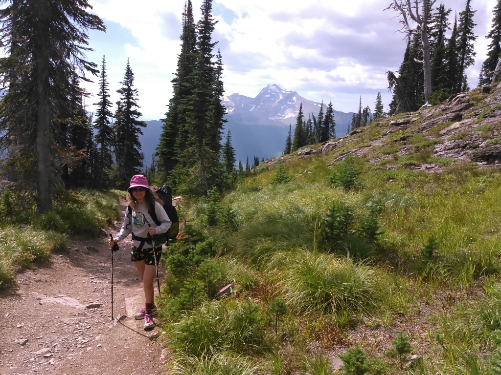
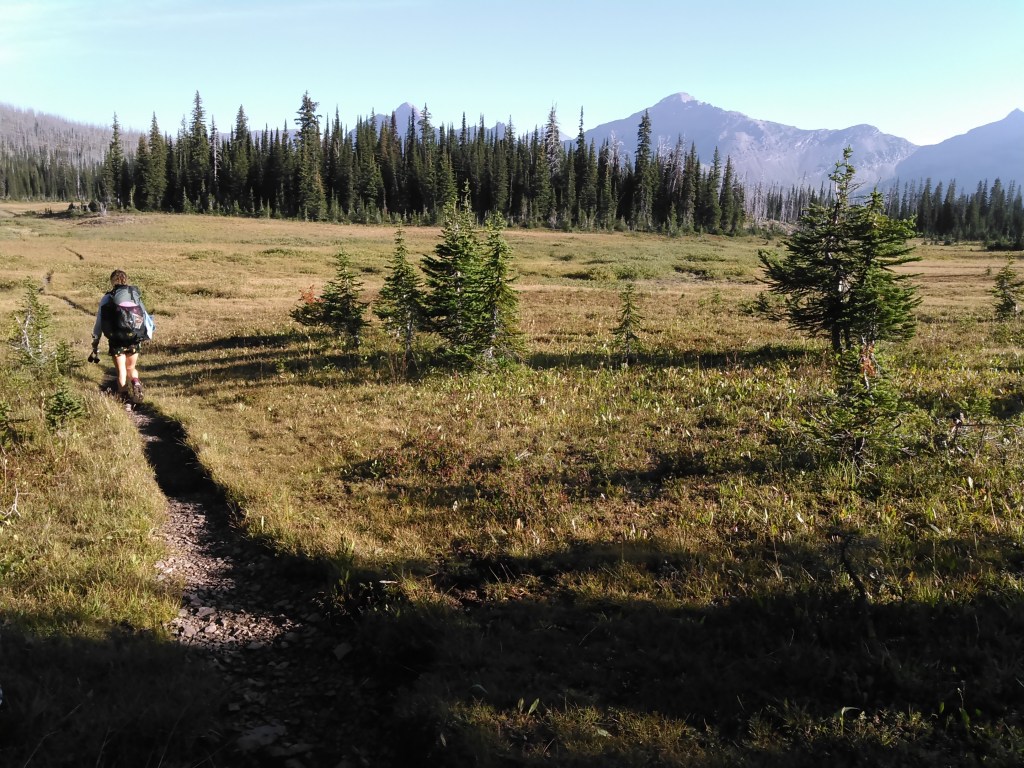
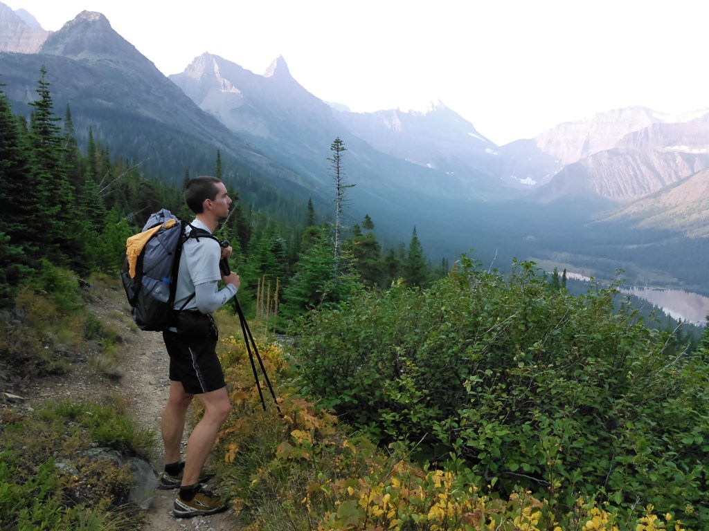
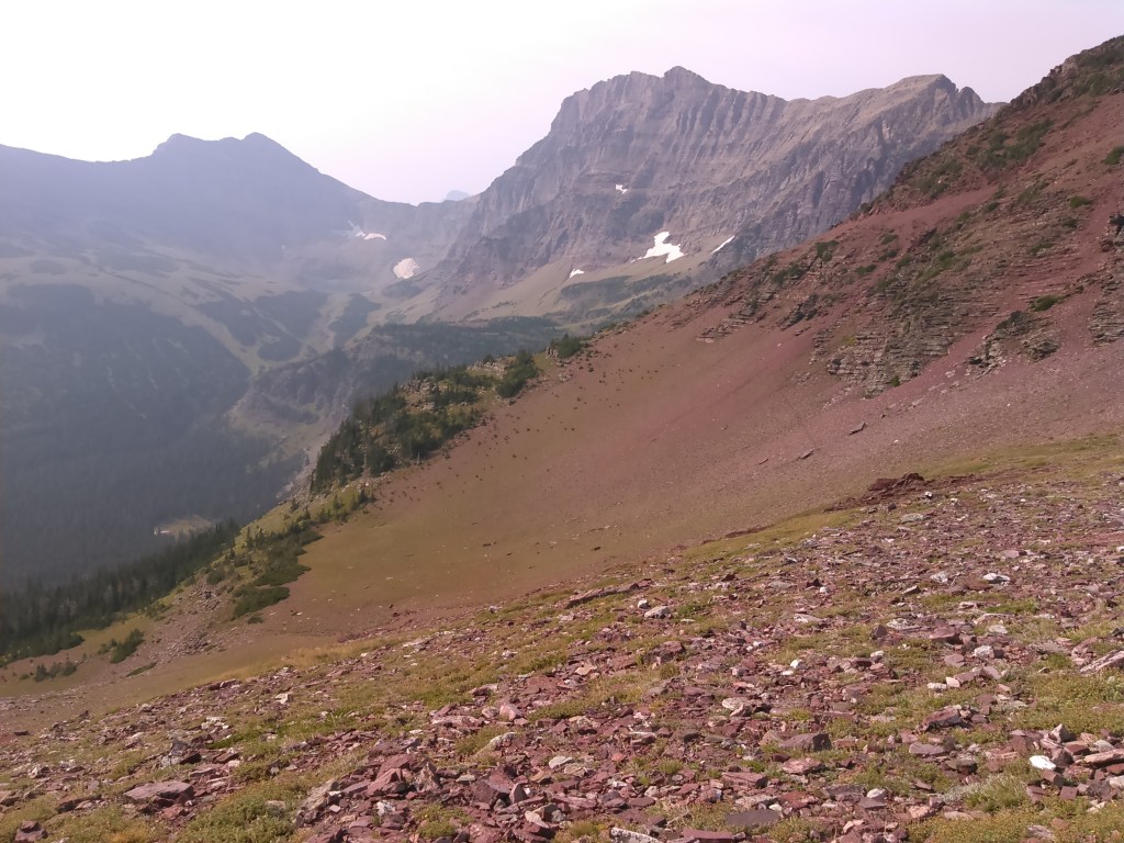
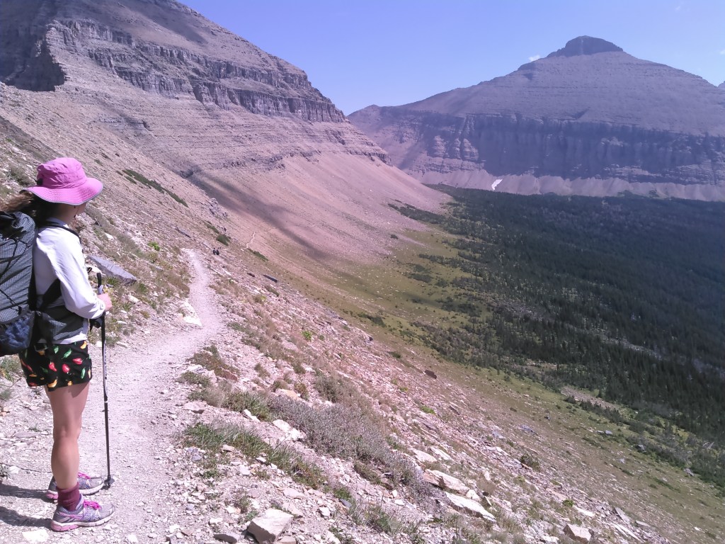
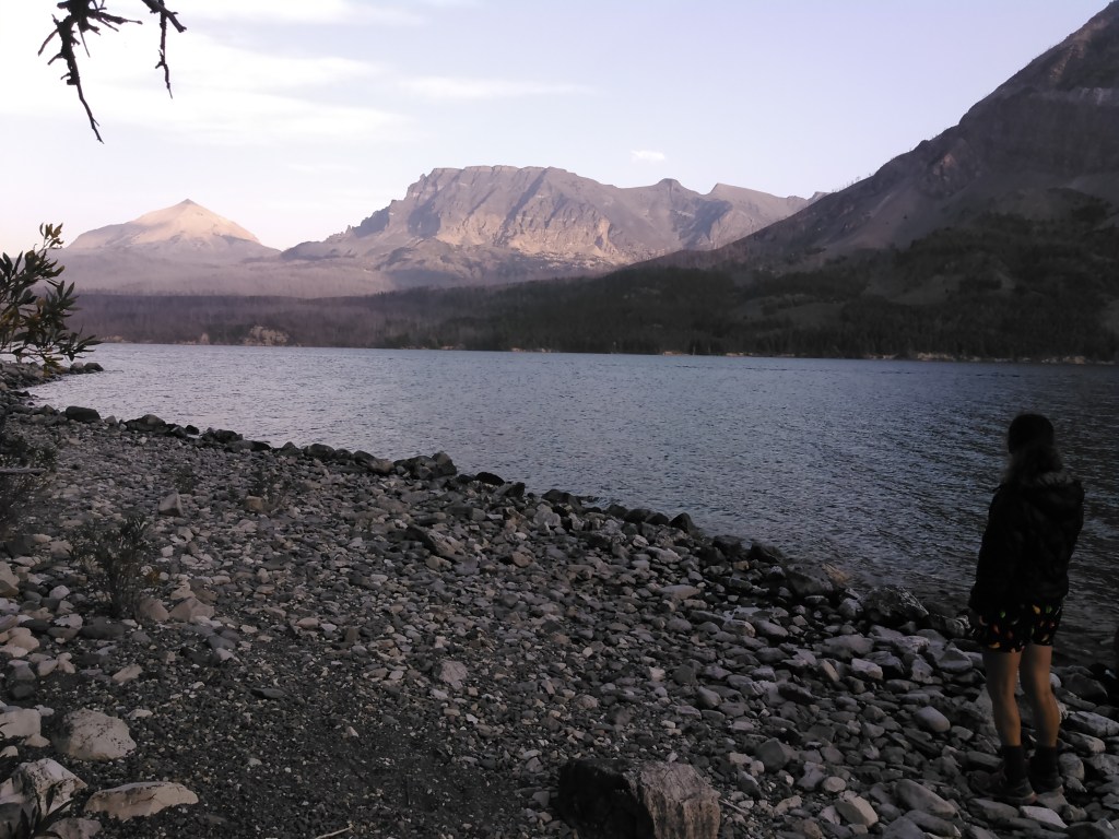
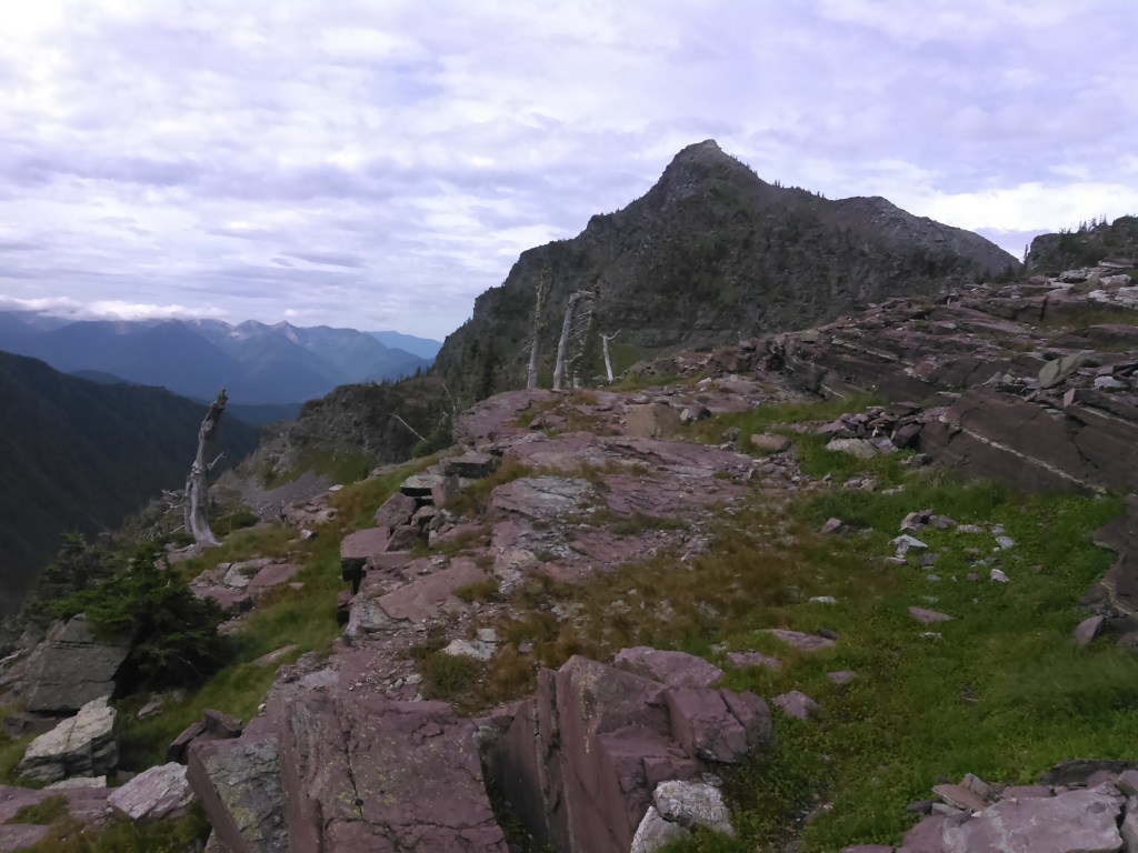
Sun greeted us and we were off early with many miles to hike. We enjoyed the Flattop Mountain plateau, although it wasn’t quite as scenic as the Highline Trail. After descending Flattop Mountain and then climbing back up high to the Waterton Valley Trail, we passed the Fifty Mountain backcountry campground and the views got much better.
Just past the Fifty Mountain backcountry campground we heard a lot of animal noise- high pitched squealing. As we kept walking, we finally saw way off to our right, a black wolf trotting along! This was my first wolf sighting in the wild- albeit it was from quite far away.
As we rounded the corner and began the climb up to Stoney Indian Pass, we were back down in the trees. We saw a blue songbird. I wondered its name. It was so blue. The trail here gains quite a bit of elevation and soon we were above the trees again.

We finally hobbled into camp around 6 pm after another 19 miles. This campground was much more popular and as we cooked and ate our dinner in the communal “kitchen” area, a bunch of guys were around talking. By the time we finished dinner and got our tent set up, it was getting dark and we were ready for bed.
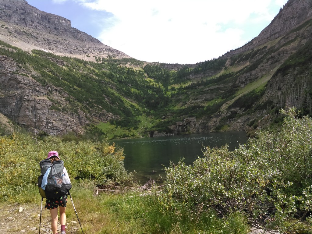
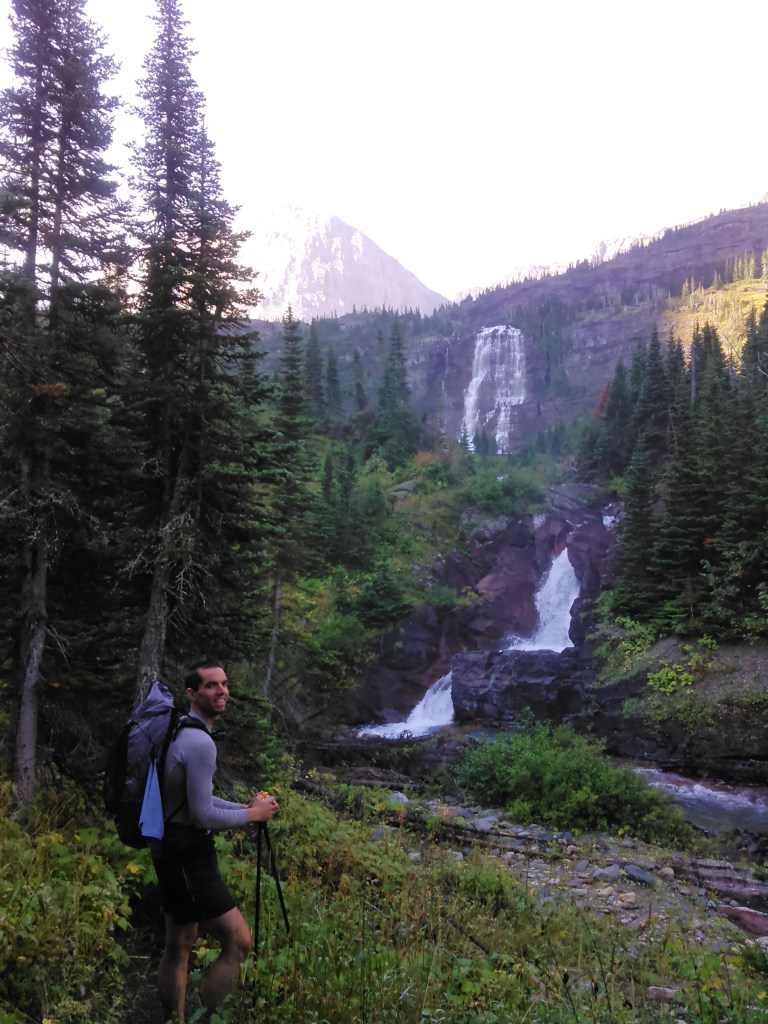
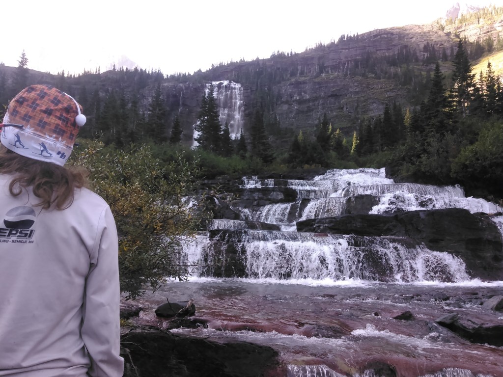
Day 3 (8/30/2016): Mokowanis Junction Backcountry Campground to Foot Elizabeth Lake Backcountry Campground via Margaret Lake
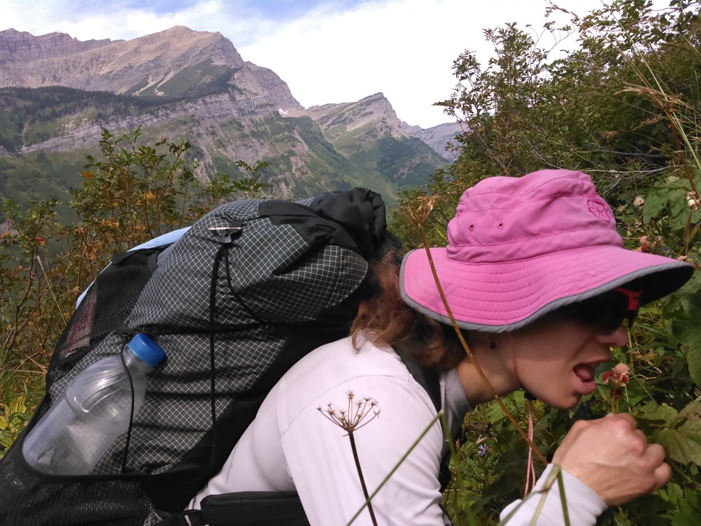
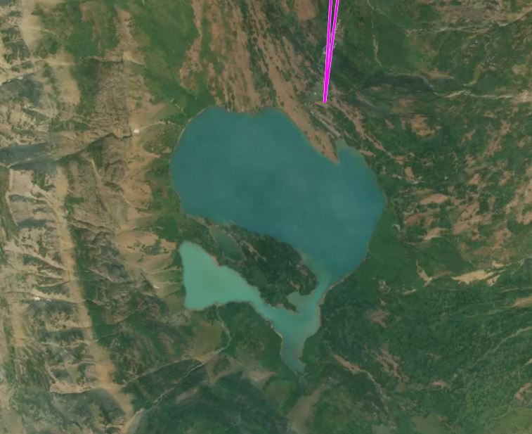
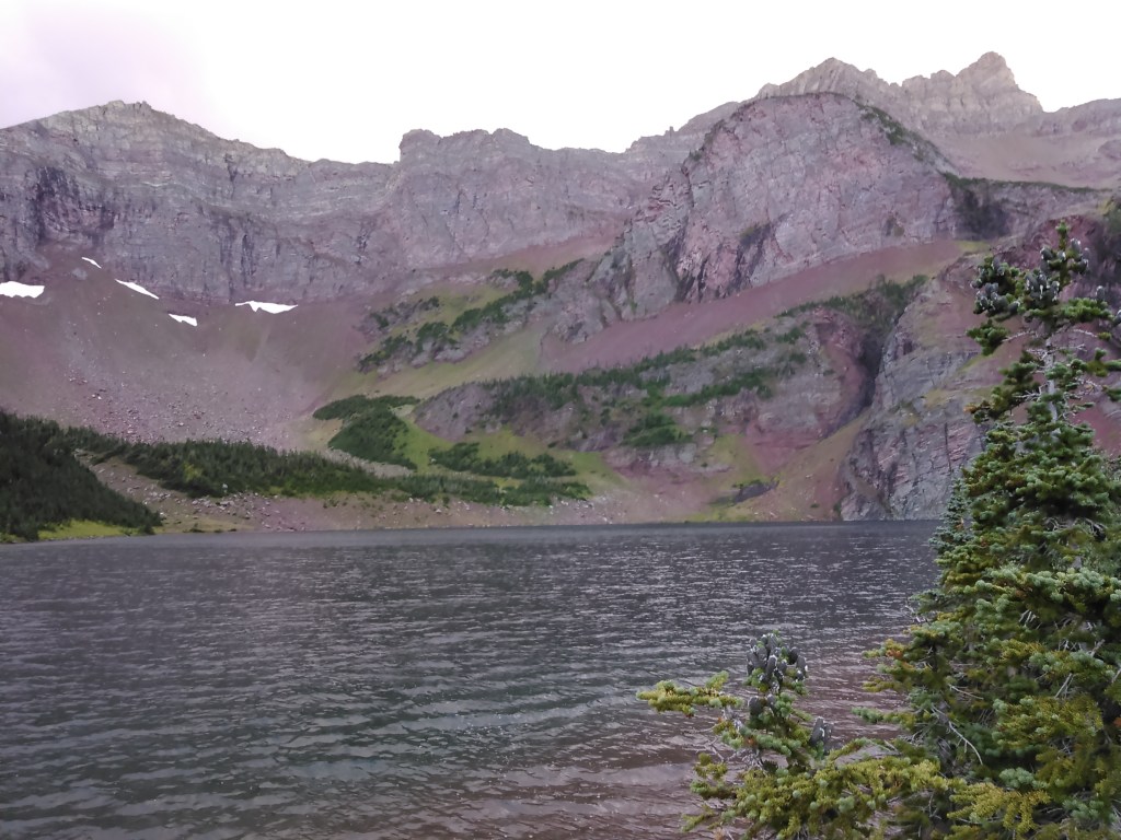
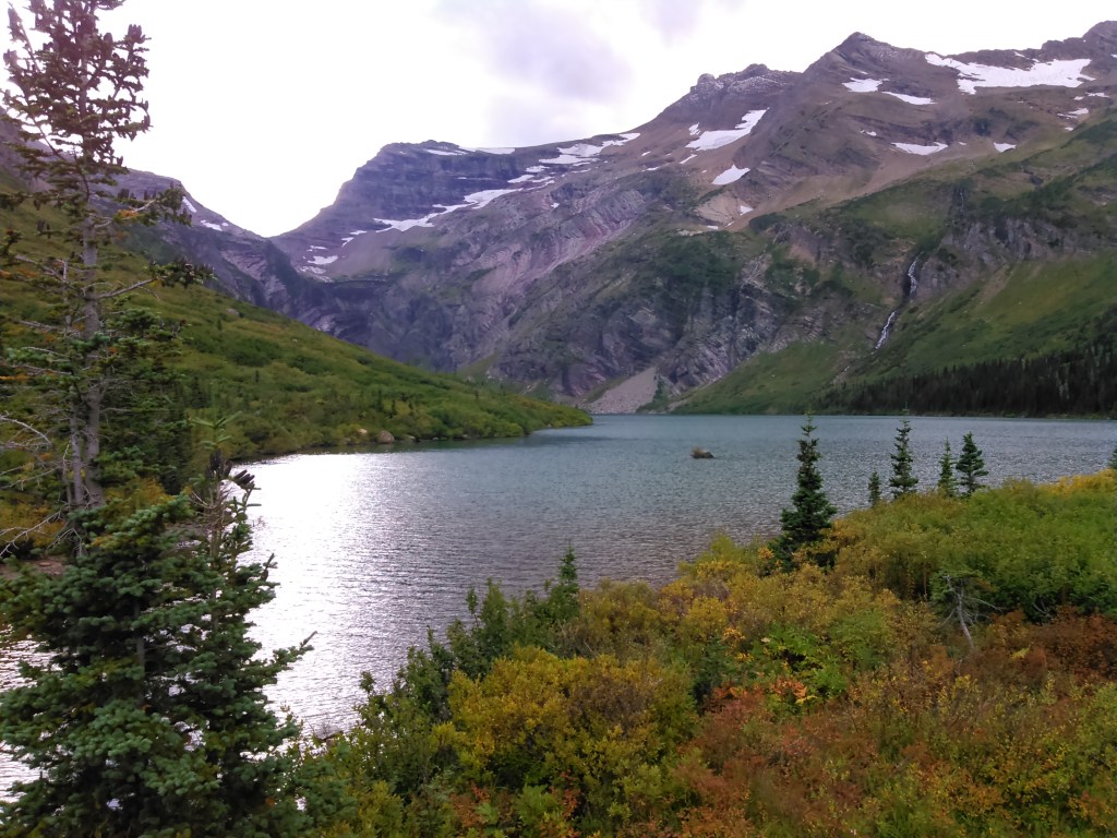
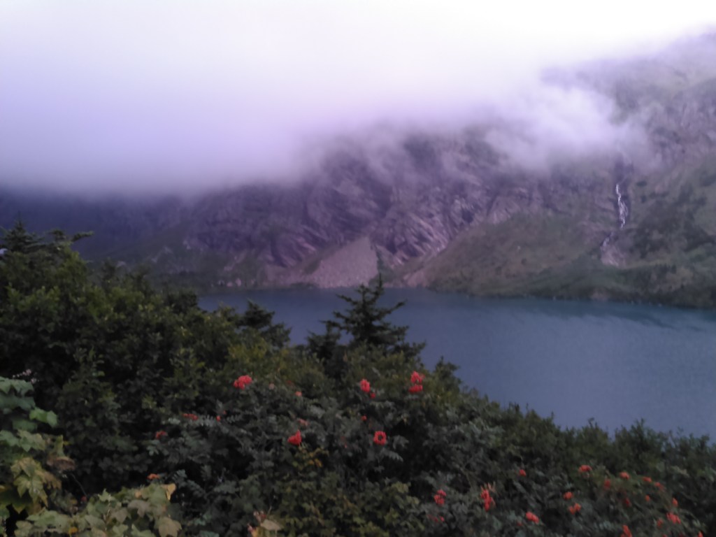
Some time during preparation for our trip, I had been pouring over satellite images and had found a lake, Margaret Lake, that was half glacier green and half blue. I decided we had to detour to see this with our own eyes. So after leaving camp, we side-hiked, mostly off-trail, to Margaret Lake. Here I should note that dispersed camping is not allowed in much of Glacier National Park.
Shortly after sunrise, we were up eating a quick breakfast and then left our tent up and hung our food to travel a bit lighter.
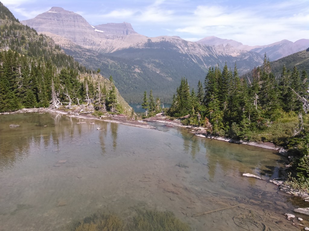
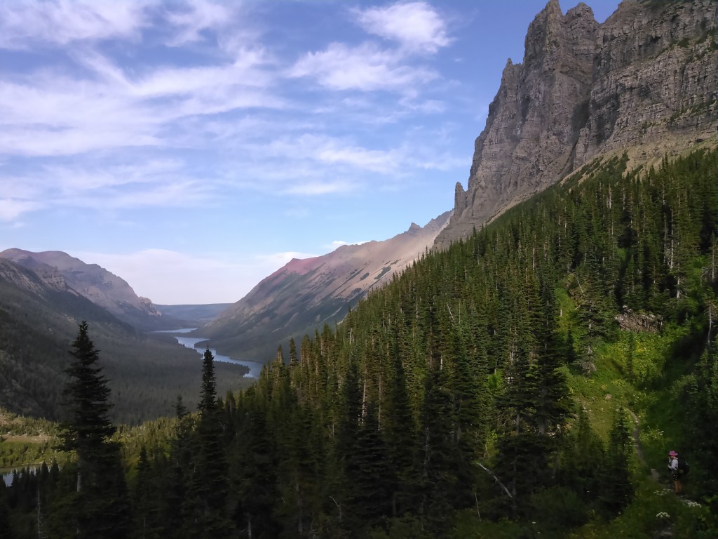
After spending a bit of time at Margaret Lake, we backtracked down to our camp, packed up, and continued on the Stoney Indian Pass Trail.

At the foot of Cosley Lake we turned south to meet up with the Belly River and Ptarmigan Trail. We had to ford the outlet of Cosley Lake.

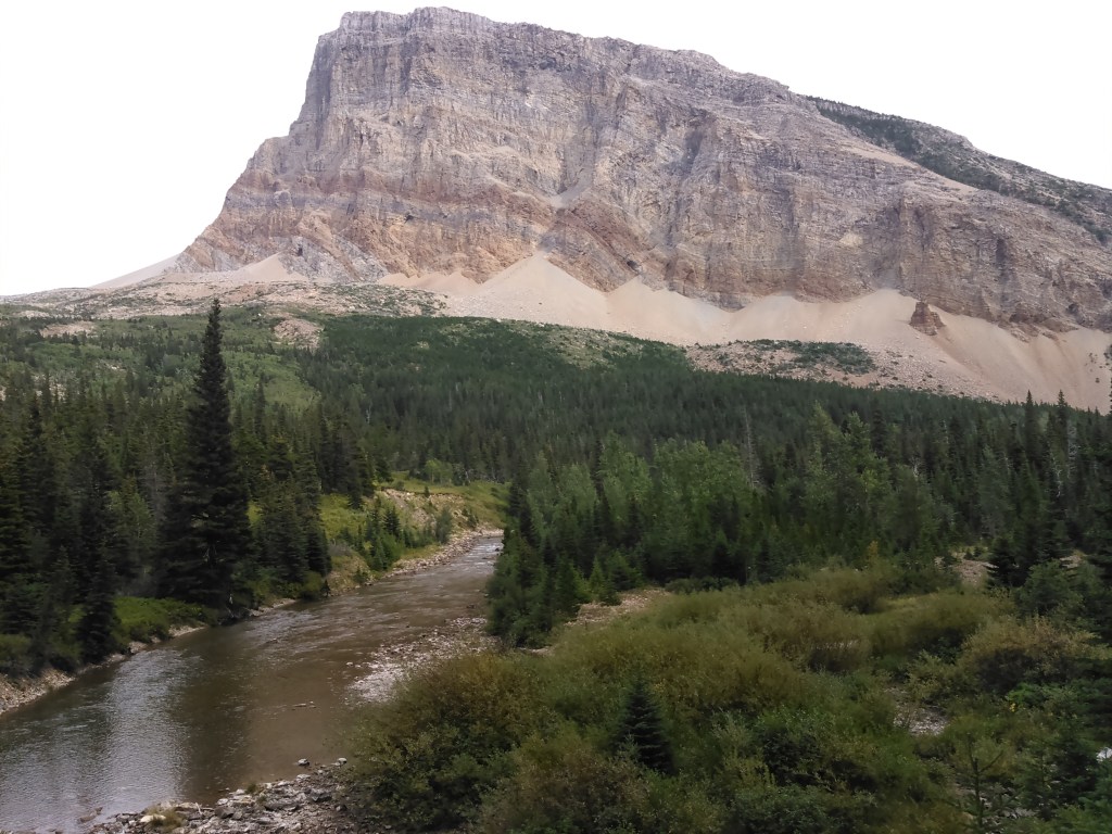

The hiking was again easy and we made good time to the Foot Lake Elizabeth backcountry campground. We weren’t even the last ones in camp! Over dinner we chatted with a couple from Juneau, Alaska, who had flown into Seattle and then taken the train to Glacier. There was also a guy with a revolver (can’t say I’m used to open carry), a party who was super impressed with their effort on Red Gap Pass (lame), and what seemed like more cans of bear spray than people!
Although highly recommended but not required, Erik and I were hiking without bear spray. Perhaps this was cavalier but I tend to think that whatever hazards we are familiar with, we tend to fear less. In Minnesota, I’ve been around bears my entire life, albeit black bears. I’m terrified of alligators, but my friend from Florida, is petrified of moose.
That night, in the middle of the night, a squall came up. Afterwards, as Erik and I lay awake in our tent there was suddenly a huge whooshing sound of water. I imagined a big herd of elk swimming across the lake and preparing to charge our tent. My body was definitely tense when Erik finally figured out that the sound was waves out on the lake following the wind.

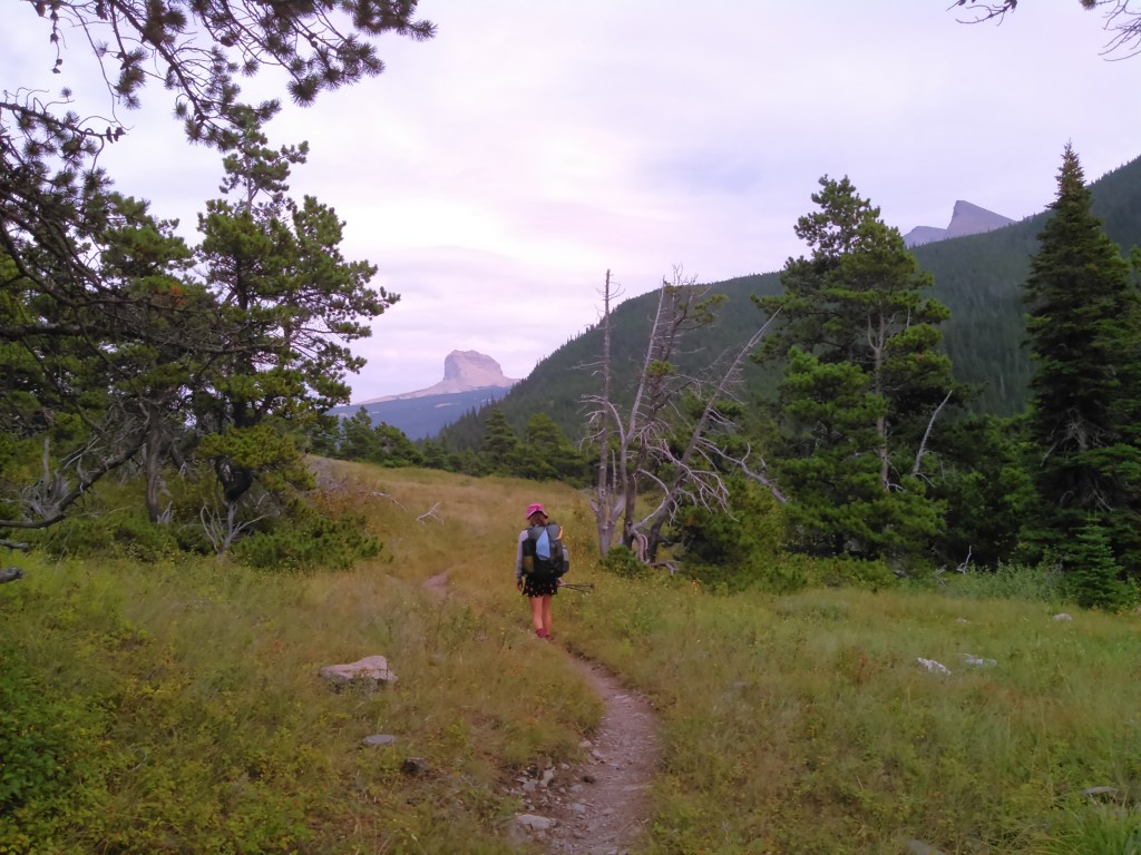
Day 4 (8/31/2016): Foot Elizabeth Lake Backcountry Campground to Many Glacier
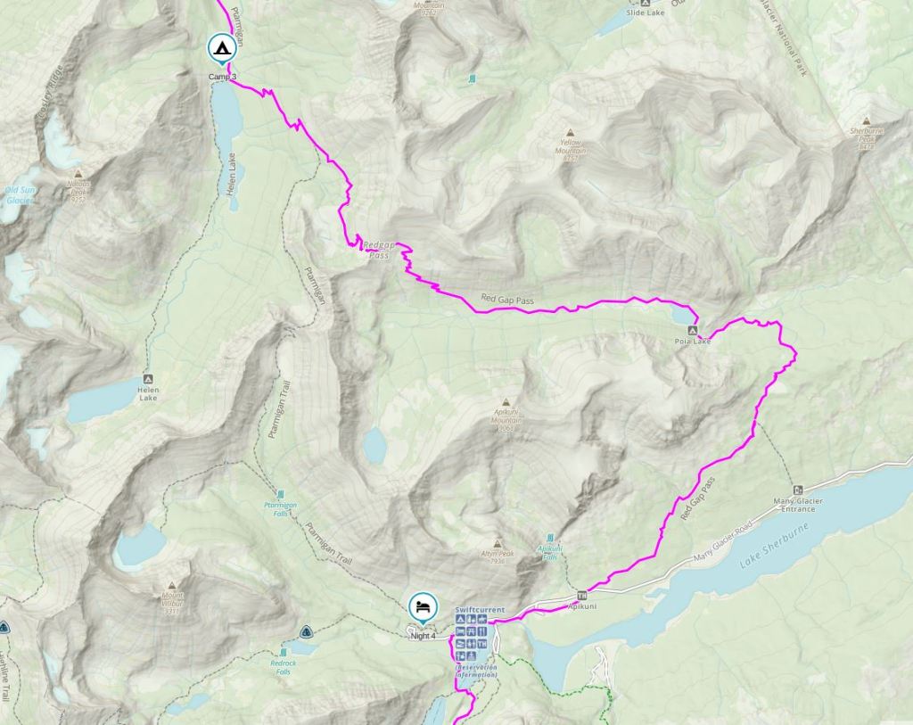
I really really wanted to do the Ptarmigan Tunnel and detour to Iceberg Lake (Erik had done both on a family trip many years earlier) but due to bear activity, this trail was closed and so we had to do Red Gap Pass and an overall longer route. Such seemed to be the theme of the trip.
Although we gained about 2,500 feet of elevation, this significantly paled compared to the vertical mile days we’ve done too many times. Hence my lame comment above.
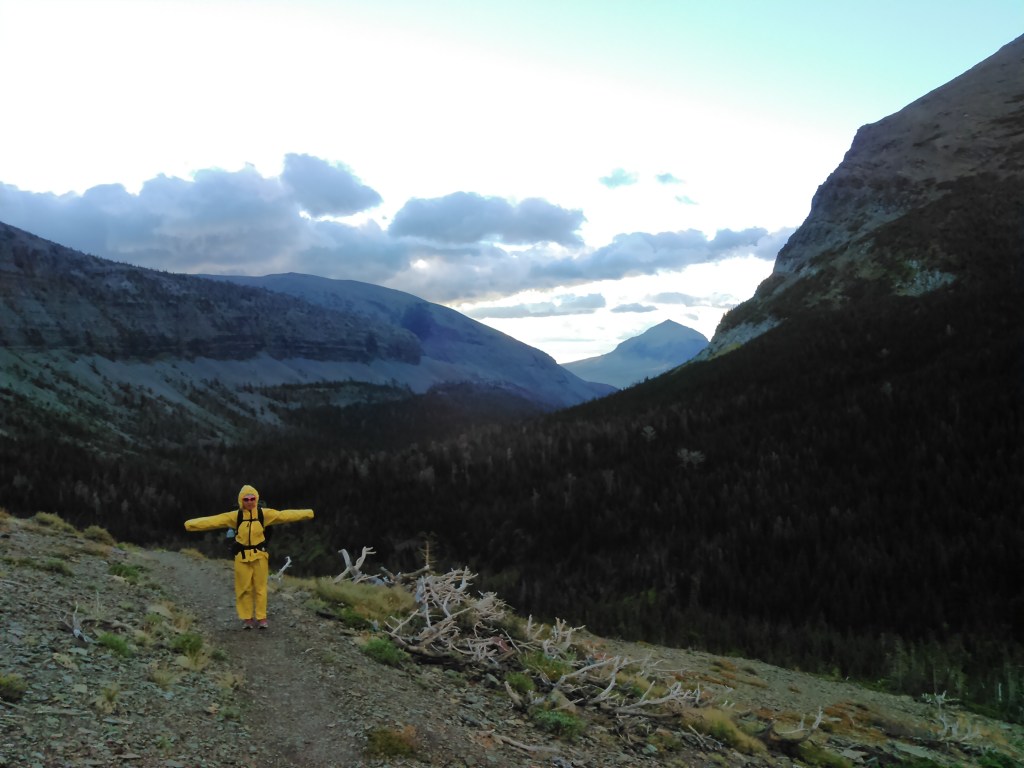
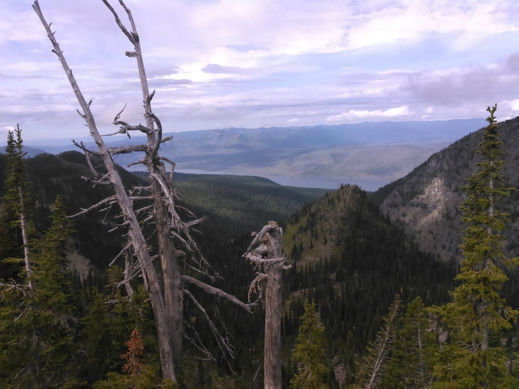
As we wrapped our way around Apikuni Mountain and began hiking west back towards Many Glacier the clouds started to roll in. Erik and I quickened our pace. It’s not that we didn’t have rain gear but rather I’m a fair weather backpacker and would rather avoid rain if possible.

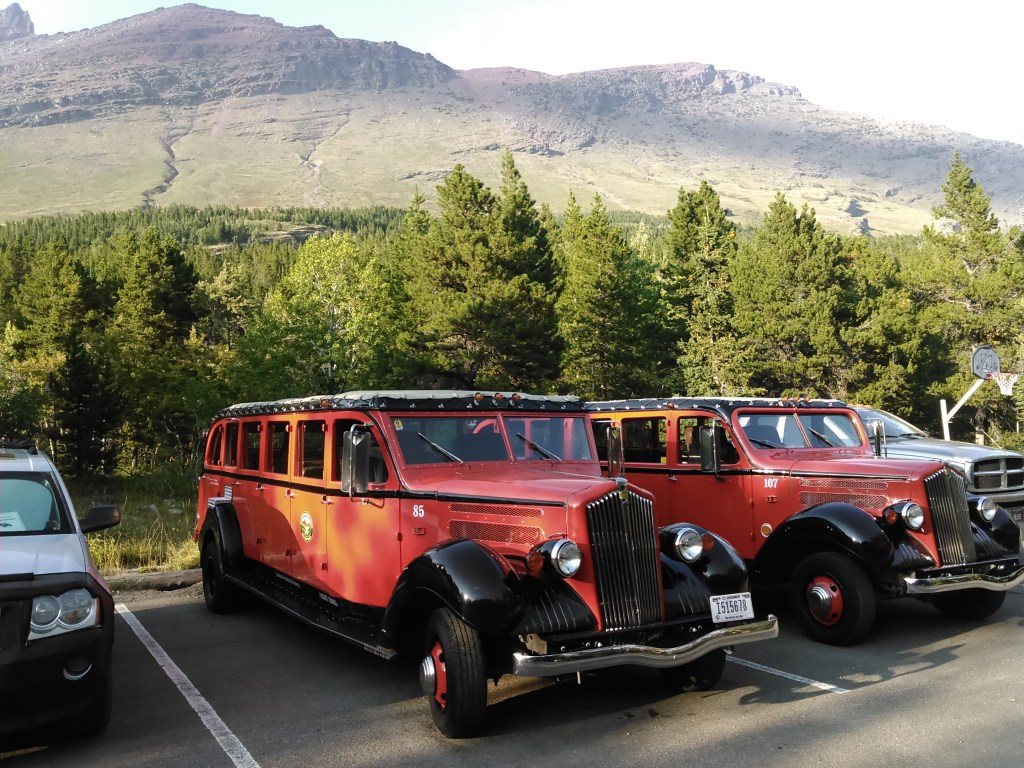
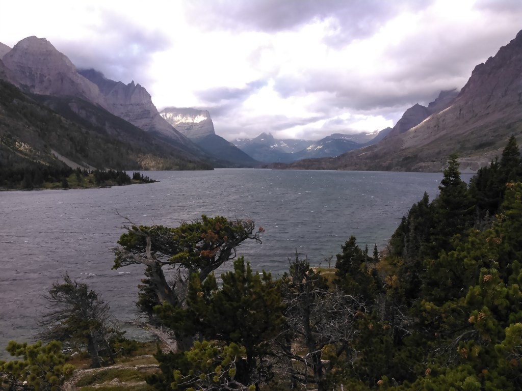
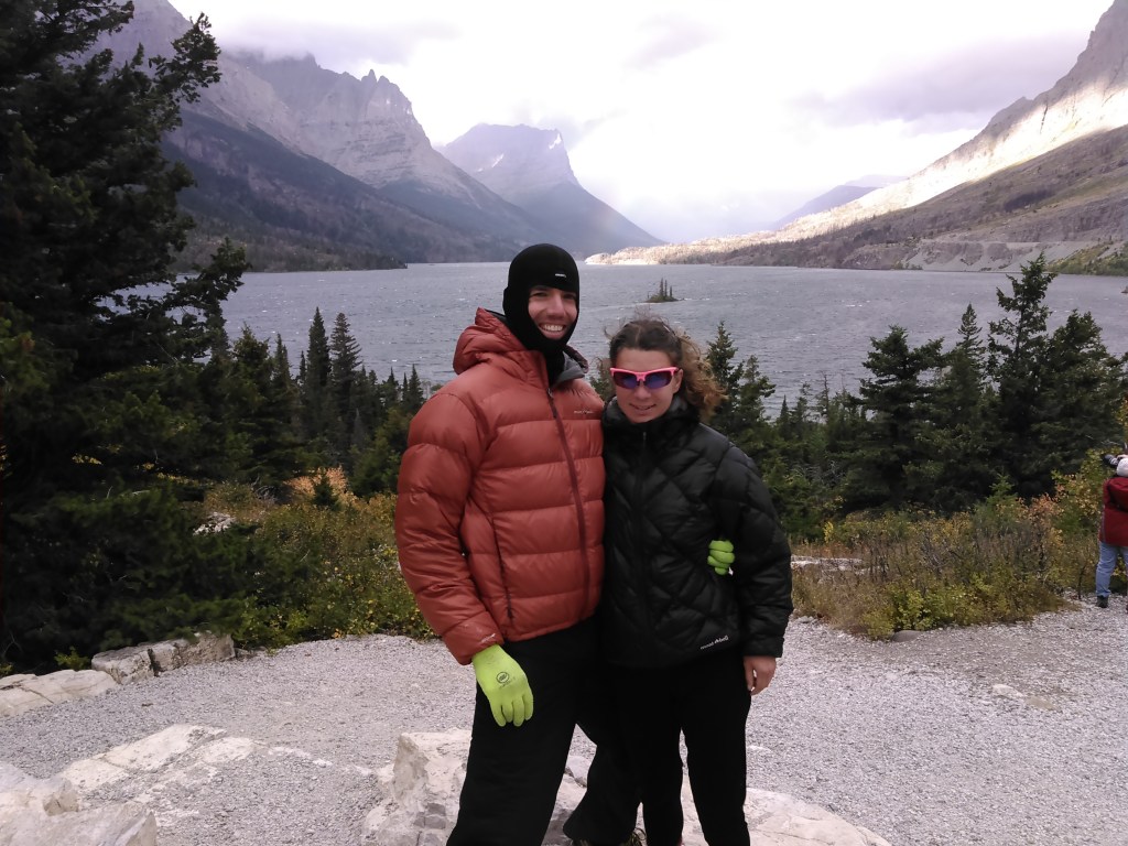
We eventually made it to Many Glacier before the rain came where we stayed at one of the Swiftcurrent Cabins and treated ourselves to dinner at the restaurant.
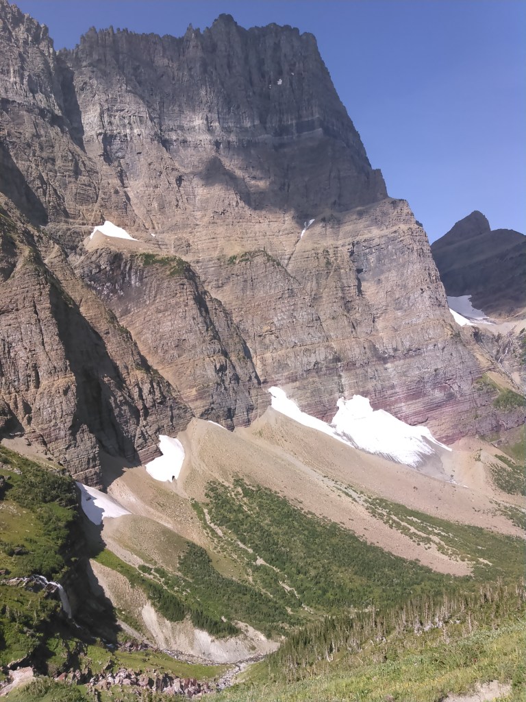
The clouds blew over and so we went walking after dinner and learned our backcountry campground for two nights later at Lake Ellen Wilson was closed due to bear activity. This was a huge bummer because we’d worked hard to get this permit and without camping at Lake Ellen Wilson, we likely wouldn’t be able to take the trail up to the Sperry Glacier- one of the biggest glaciers in the park and a bigger blow seeing as I’d missed Grinnell Glacier and a higher view of Margaret Lake.
Erik and I pondered what to do but ultimately had to wait until the morning when the ranger station opened.
Day 5 (9/1/2016): Many Glacier to Rising Sun Campground

After breakfast we went to the ranger station where we spent a ridiculous amount of time contemplating our numerous options. There’s a rule that we had to spend consecutive nights in the backcountry which eliminated a couple options, that and many backcountry campgrounds were already full. Finally the ranger suggested we spend a night at the walk-in area of the Rising Sun Campground, then spend the next night at Otokomi Lake before resuming our loop and spending our last night at Gunsight Lake. This wasn’t ideal, but we’d make it work.
New permit in hand, we set out along the west shore of Swiftcurrent Lake, on our way to Piegan Pass. The weather was great.
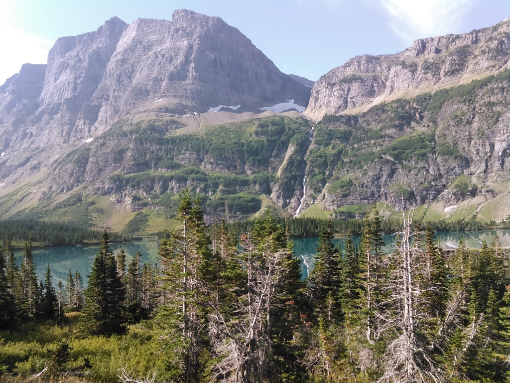
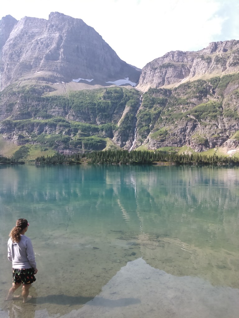
Then we hiked to Lake Josephine, along the southeast shore.

We kept hiking and soon got to Grinnell Lake.

After Grinnell Lake the trail gained some serious elevation. As we climbed higher and higher, the wind really picked up, and up, and up.

As we hiked the switchbacks to Piegan Pass the wind got so strong it almost knocked us over. It was some of the strongest wind I’d ever been in- including on summits. I had serious thoughts about turning around because I assumed if the wind was this strong on the way to the pass that it would be way stronger on top of the pass. But as we ran out of switchbacks and gained the last final traverse to the pass, the wind died down. It was completely absent on the other side of the pass.
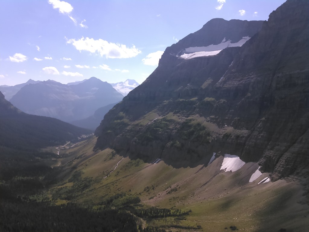
Coming down from the pass and hiking to the Going to the Sun Road was easy with good views for a long time before we got in the trees again.


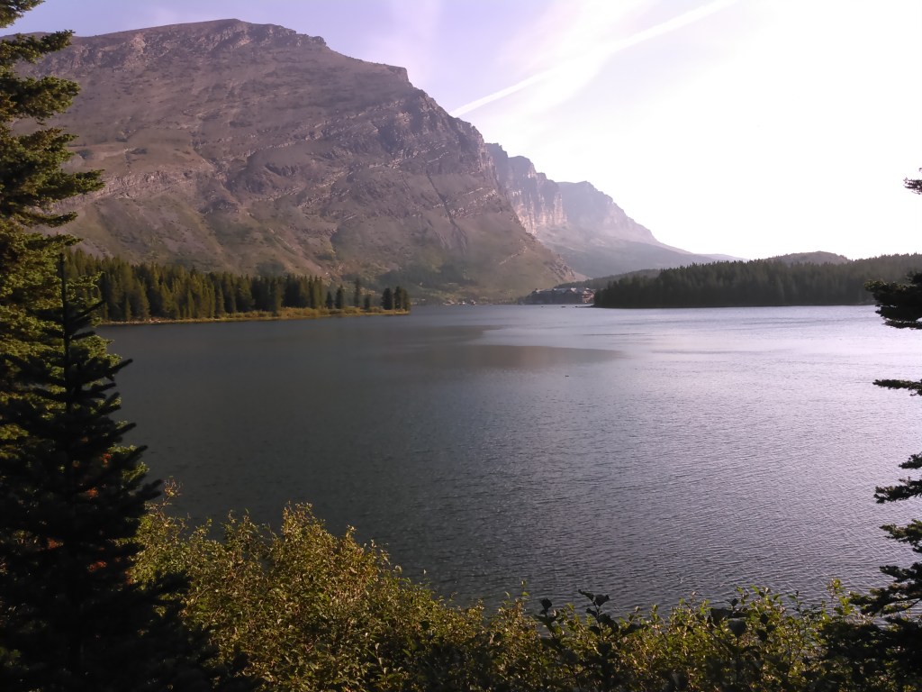
Once down to Going to the Sun Road, we took the park shuttle to the Rising Sun Campground where we stayed in a walk-in site. We met a chatty couple from Coeur d’Alene who were quite nice. I enjoyed the flush toilets at the campground. One of the downsides to the backcountry campgrounds was that each one had an outhouse that was to be used for both peeing and pooping and sometimes the seats were wet or dirty. And it was dark and smelly in those outhouses. I thought I’d be a fan prior to the trip, so I wouldn’t have to find a place to dig a cathole, but ended up not liking them at all. After dinner we walked down to Saint Mary Lake to take in the sunset views.

Day 6 (9/2/2016): Rising Sun Campground to Otokomi Lake Backcountry Campground

Day 6 dawned gray and windy! Since we only had 5.4 miles to hike to Otokomi Lake (not in the original plans- but the new plan cause of the griz at Lake Ellen Wilson) passed the time down by Saint Mary Lake. At first we had fun in the crazy wind, but by the time we returned to our camp, we were frozen. And then it started to rain.


Once it started to rain, we killed time in the gift shop. OK, we killed lots of time in the gift shop until we’d rifled through every photo in every calendar and held all the different postcards, and had lunch on the porch while we watched the rain come down. By early afternoon we decided it was time to begin the climb to Otokomi Lake.


It began to rain a bit before we got to Otokomi Lake but stopped once we got there. We set up our tent and Erik cooked dinner even though it was early. The sky threatened more rain and so we took the opportunity while it lasted.

Before we were quite done with dinner it began raining again. We hurriedly cleaned up and got in the tent. It was super cold and windy, even with our down jackets on. We listened to podcasts and waited for a break in the rain when we could brush our teeth and make a quick dash to Otokomi Lake. It took awhile but eventually we got our break.
It was ridiculously windy though and we couldn’t trust the sky so we didn’t stay long at Otokomi Lake. We retired back to our cozy tent for the night.

Day 7 (9/3/2016): Otokomi Lake Backcountry Campground to Going to the Sun Road and shuttle and then to Gunsight Lake Backcountry Campground

The wind was still whipping when we woke in the morning with scattered clouds and very occasional rain. As we descended to the Rising Sun Campground area, we both got really cold.

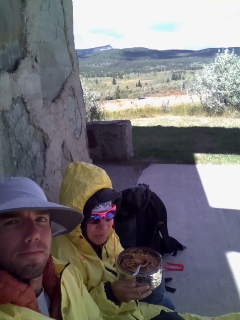
Once down at the Rising Sun Campground, we retreated again to the gift shop where we tried unsuccessfully to get warm. The sun was poking out more and the skies clearing, but the wind was so brutal. After some debate, instead of taking the part shuttle to our next trailhead, we actually took it in the opposite direction to the Saint Mary Visitor Center to again kill some time as we only had 8 miles to hike to our backcountry campground, to try to warm up, and to get a better forecast seeing as we were freezing.
We got our better forecast which called for windy conditions with precip overnight- likely a couple of inches of snow in the high country. After unsuccessfully trying to get warm, debating our many options (as in bailing on Gunsight Pass for the next day), and talking with the ranger, we decided to just go for it. But first we decided to cook our dinner where we had some shelter from the wind and make up our tortilla wraps in case it turned rainy again later on (as was forecasted). In other words, we prepared for the worst possible conditions for our last 1.5 days of backpacking.

When we were done with our preparations, we took the shuttle back to Saint Mary Falls Trailhead. Still cold, I began hiking in most of my clothes. Finally here, as we hiked and noted the wind wasn’t as strong, was I able to take off my down and rain jackets.
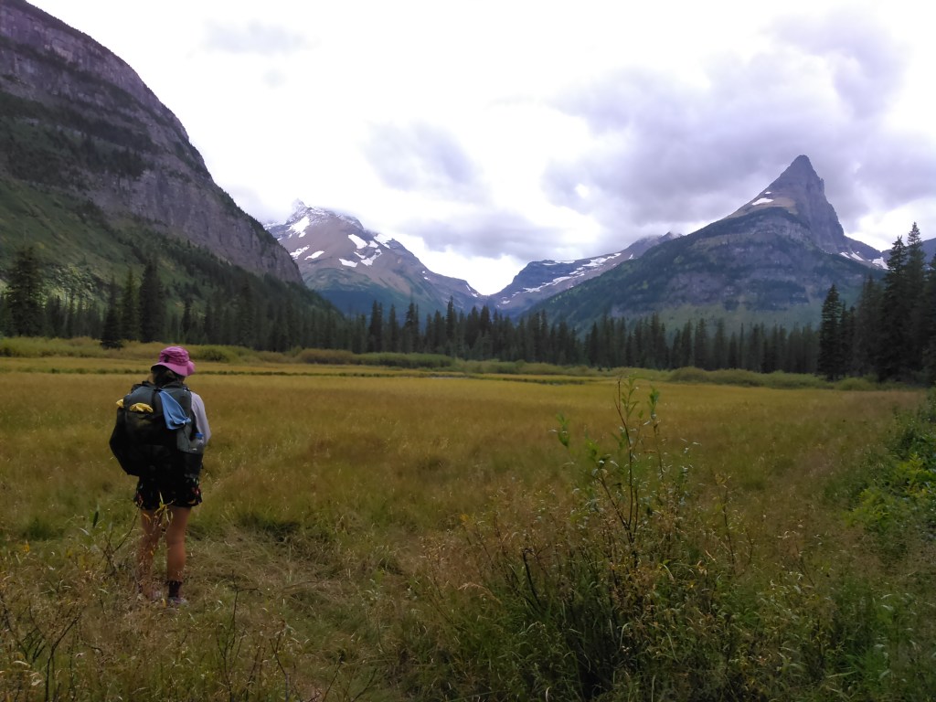
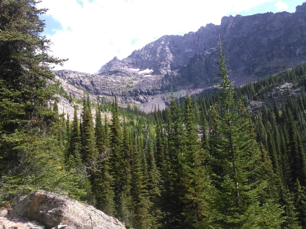
The views in the meadow were spectacular, then we headed into the trees where we caught fleeting glimpses of the glaciers.

When we got to camp at Gunsight Lake, we found our tent site, sent up our tent, and hung up our food. Since the weather seemed to be holding, we headed east on the trail that got close to Jackson and Blackfoot Glaciers.
As we hiked on the trail to the glaciers, the sky got more and more clear so we kept walking and we got some great views.
We kept walking towards the glaciers, but the farther we walked, the farther away they still seemed.

Eventually we gave up getting to the glaciers and turned around and headed back to our lively backcountry campground where we exchanged some commonalities with a few folks and then brushed our teeth and headed to bed. We were glad the sun had come out and the wind had chilled out and wondered if we’d awake to snow.
Day 8 (9/4/2016): Gunsight Lake Backcountry Campground to Sperry Trailhead

We woke to low clouds. Given we had quite a ways to go, we got up early, ate breakfast of pre-made-up tortillas with peanut butter and dried fruit, and headed for Gunsight Pass.

As we got near the pass, we were completely in the clouds but there was no snow. It was cold and windy. There’s a hut at Gunsight Pass and Erik said we should duck in there.
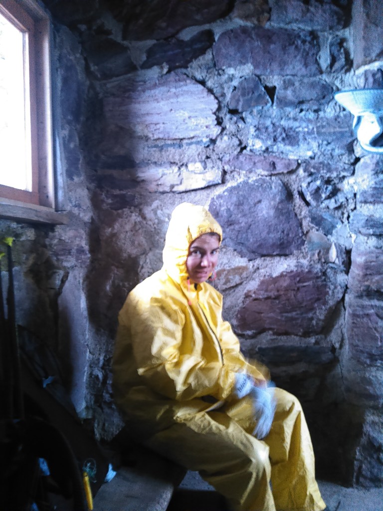
We failed to get warm inside the hut. While it offered a wind brake, it was cold in there. After a few minutes we took off down the south side of Gunsight Pass. I began running to get warm. We met a couple coming up who said there was a grizzly by Lake Ellen Wilson.
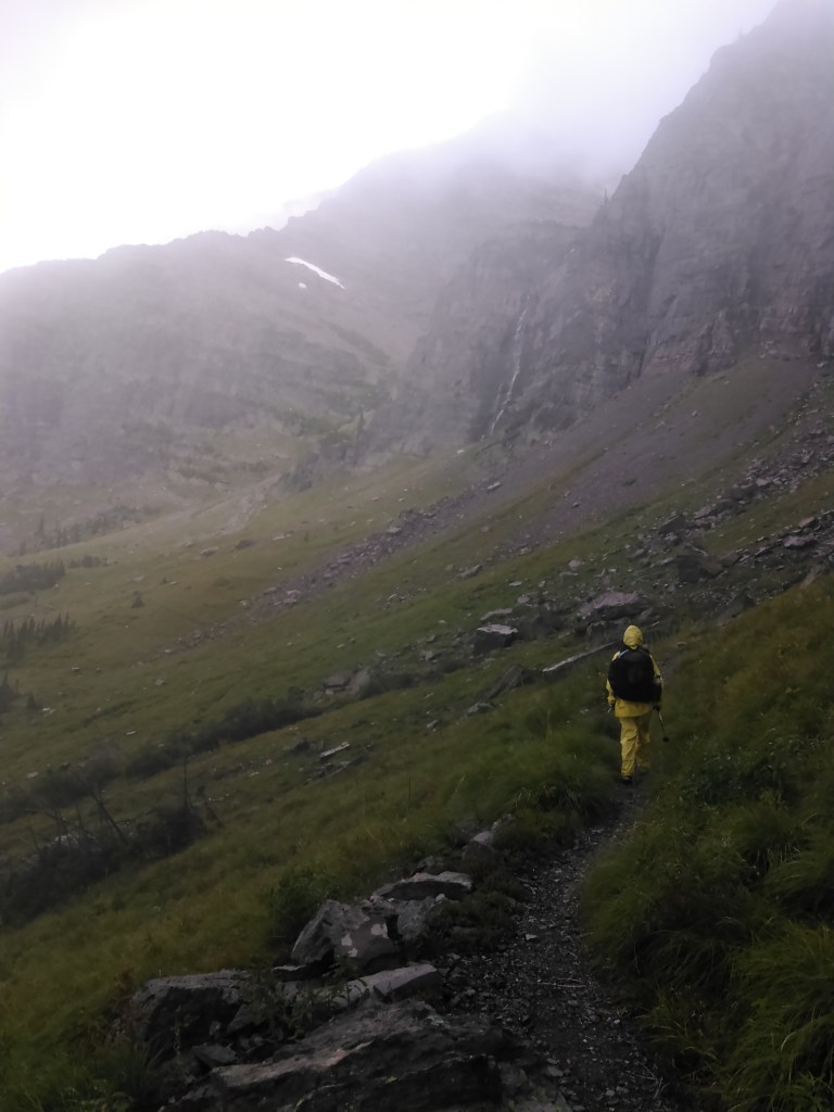
Once near Lake Ellen Wilson, we finally began getting warm. The running had helped and there was less wind. We saw some waterfalls and began singing TLC’s famous song. All these years Erik had thought the song was about some guy named “Jason Waterfall.” And then we saw the bear!
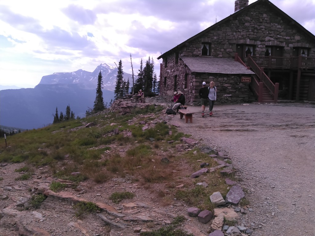
After passing the bear, the sky gradually began to clear and we got better views. We wrapped around Lincoln Peak and when we got to the Sperry Chalet, Erik suggested we go in and get some hot water and eat our breakfast that we had been saving just for this chalet. Usually we eat our oatmeal cold in the morning so having hot oatmeal was a treat.
We passed by the trail leading up to views of the Sperry Glacier. Even though I really wanted to go, we still had some more hiking to do and a campsite to find at the Apgar Campground so I resisted the urge.
Once down to the road, we stopped in the old Lake McDonald Lodge before hopping the shuttle bus back to Apgar.

Day 9 (9/5/2016): Train Ride Home
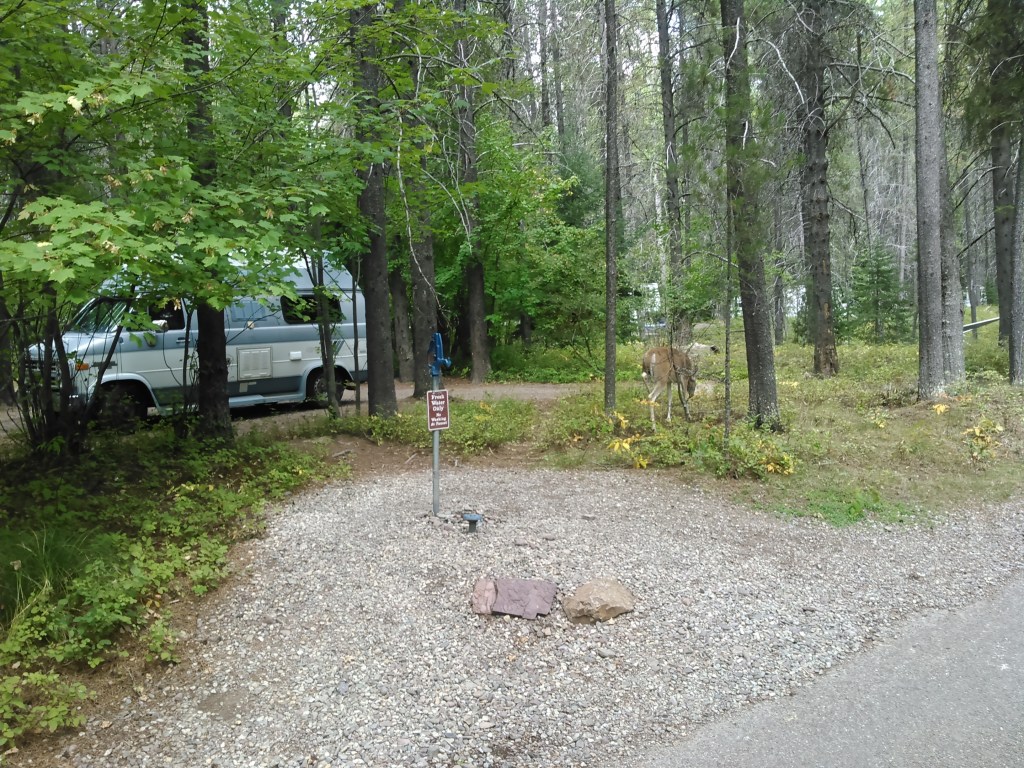
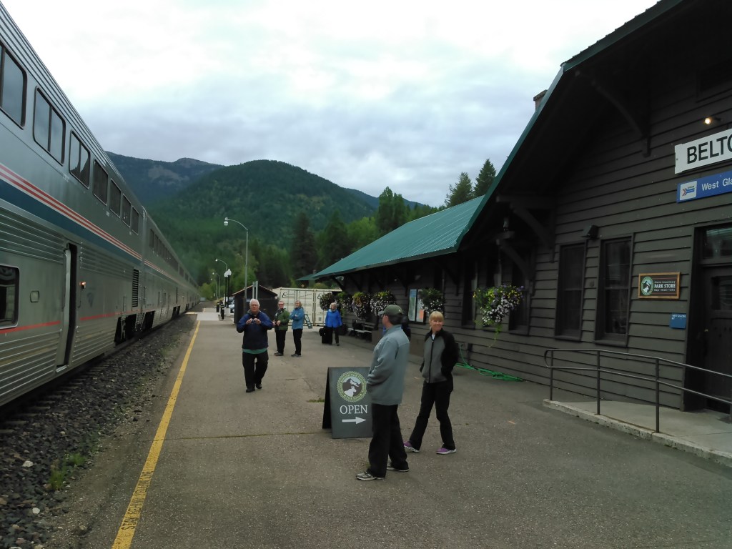
We had to set our alarm for an early morning 3 mile walk from the campground to the train station at West Glacier. It was good to at least stretch the legs before getting on the train. Once on the train, we took showers! Kinda crazy to be in a slippery shower while the train was moving.
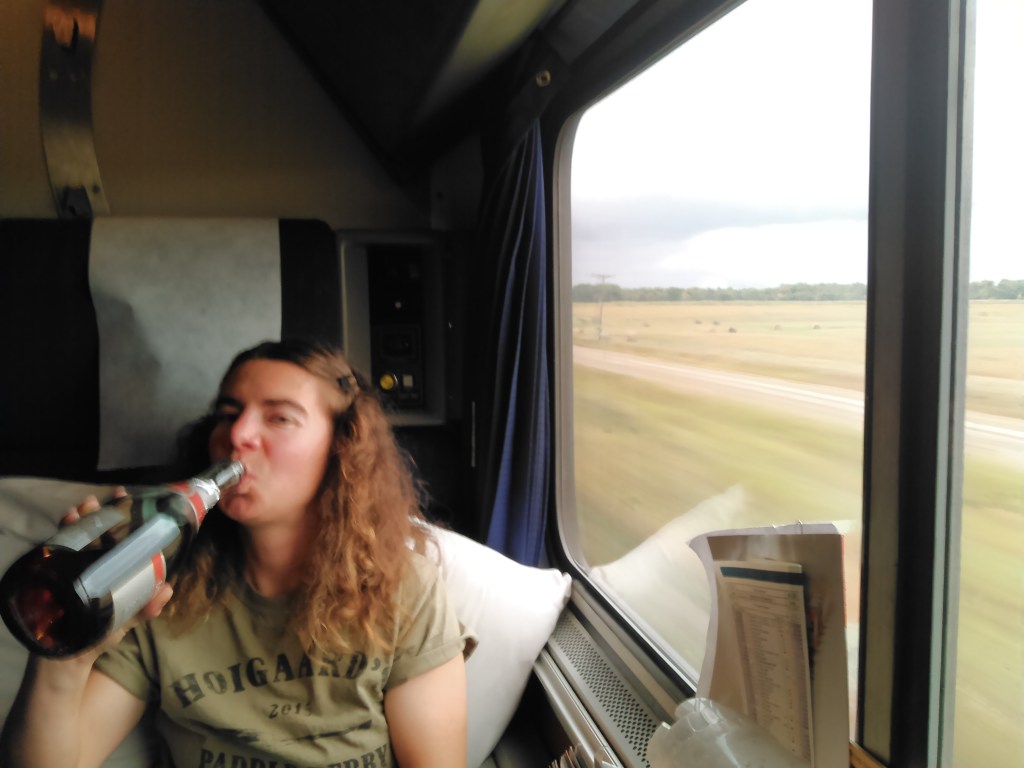
After a week of hiking, it was nice to just relax on the train and watch the scenery go by! 24 hours and one short bus ride later, we arrived back home and had to go to work:(-
As I look at these photos of Glacier and study the map, it makes me want to go back. Erik and I have tentative plans of taking the train back to East Glacier (assuming the Amtrak keeps running) and hike the southeast part of the park, including Triple Divide Peak. This may or may not be part of a hike of the Pacific Northwest Trail.
The scenery in Glacier was stunning, albeit the glaciers all relatively small, at least compared to the first glaciers I’d ever seen on the Mont Blanc Massif. I got a bit jaded with our rough go at the weather- mostly the wind and a bit of rain. I’m definitely a fair weather backpacker! As previously mentioned, I also wasn’t a fan of the outhouses at the backcountry campgrounds. The social time with the other backpackers in the “kitchen” area of the campground was fun though.
I still want to see Iceberg Lake, ideally before all the “icebergs” melt and do Ptarmigan Tunnel. We could incorporate these into our route for the Pacific Northwest Trail, or just any trip. And I still have that nagging urge to get above Margaret Lake to see those glacial waters coalesce!

Another most enjoyable account with superb photos. Thank you!
LikeLike
Thanks! It’s always fun to look through the photos again.
LikeLike
Wow! You are making memories. How wonderful to be out in such rugged open spaces. Congratulations on lovely photos that tell your story of adventure!!
LikeLike
Not only did I love my Glacier Park hiking trip, but getting there in a sleeper car with meals in the dining car. I’m looking forward to seeing you in not too much time. Have much happiness during Christmas time.
Sent from my iPad
>
LikeLike
Thanks! Merry Christmas to you, too, and see you in the New Year!
LikeLike