
In late June of 2017 I had the opportunity to go to a medical conference at the Fairmont Chateau Lake Louise. Erik and combined this with a four day backpacking trip in Banff National Park before doing three day hikes in the afternoons after my conference.
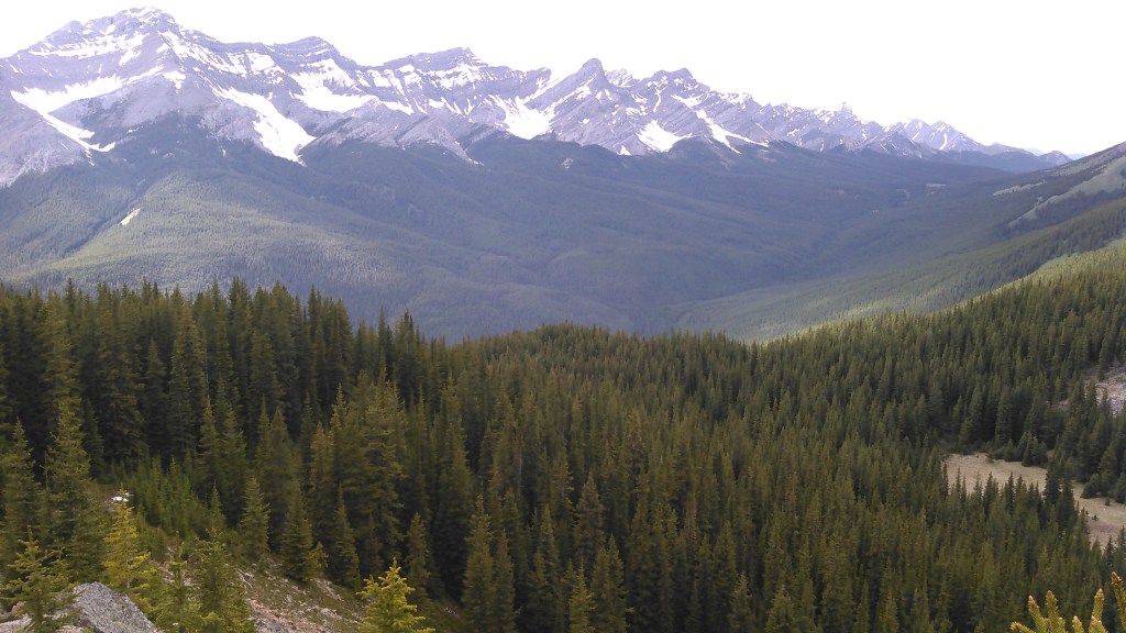
If there was any downside to this trip (and not that I should complain about a free stay at Fairmont Chateau Lake Louise!) it was that 2017 was a very snowy winter in the Rockies and even in late June there was still a lot of snow, especially up in the higher areas.
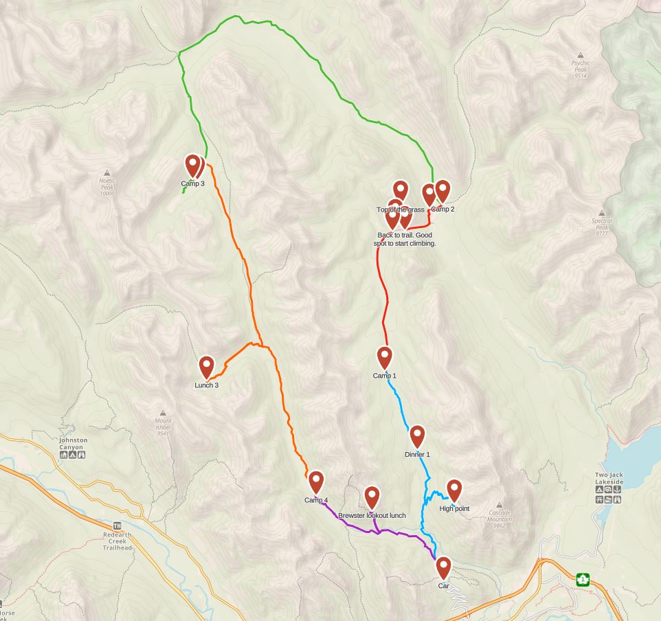
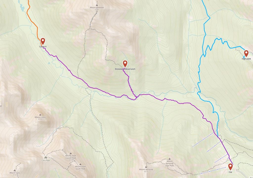
Initially we had planned a backpacking route along the continental divide from the Sunshine village Ski Area to Mount Assiniboine with a return along the Brewster Creek Trail, but looking at snow maps this route was unrealistic so we found a lower loop around Banff’s Vermillion Range that looked mostly snow free.
When we went to get our walk-up permit, the ranger almost didn’t give it to us as she was concerned about there being too much snow. Now, she could have just looked outside and approximated that snow-line was well above our planned route. That, and there was supposedly some bridge out. Minor inconvenience we thought.
Backpacking Banff’s Vermillion Range
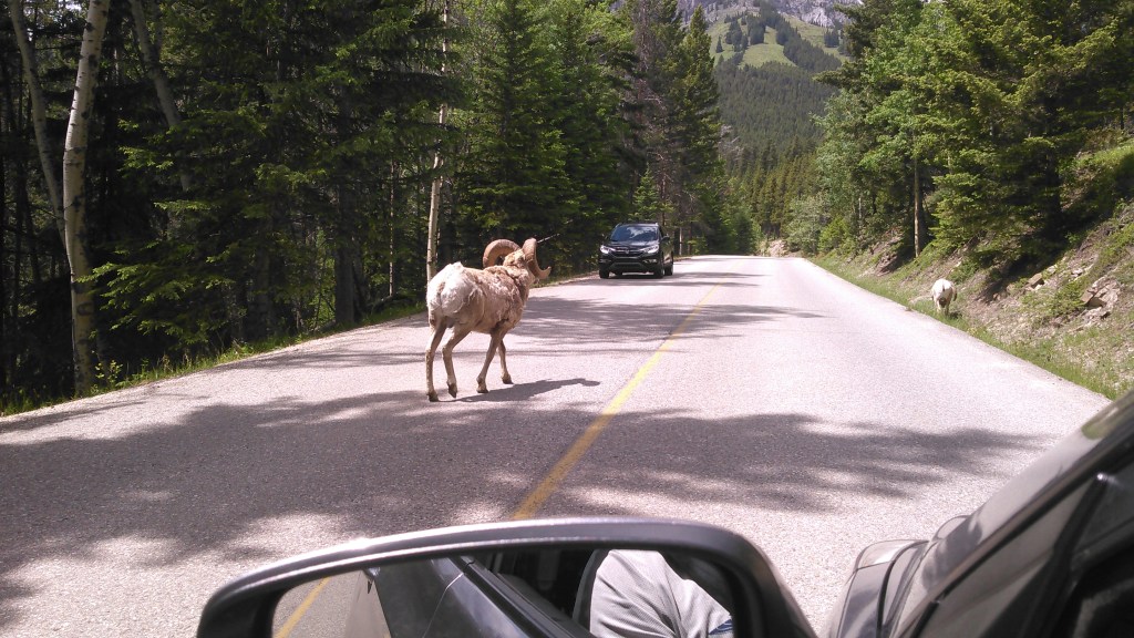
Finally, permit in hand, we were off, driving up the road leading to the Mount Norquay Ski Area. Along the way we passed a herd of big horn sheep! Being as this was my first big horn sheep siting in the wild I was pretty stoked.
Day 1 (6/17/17): Mount Norquay Trailhead to Elk Lake Summit Campground
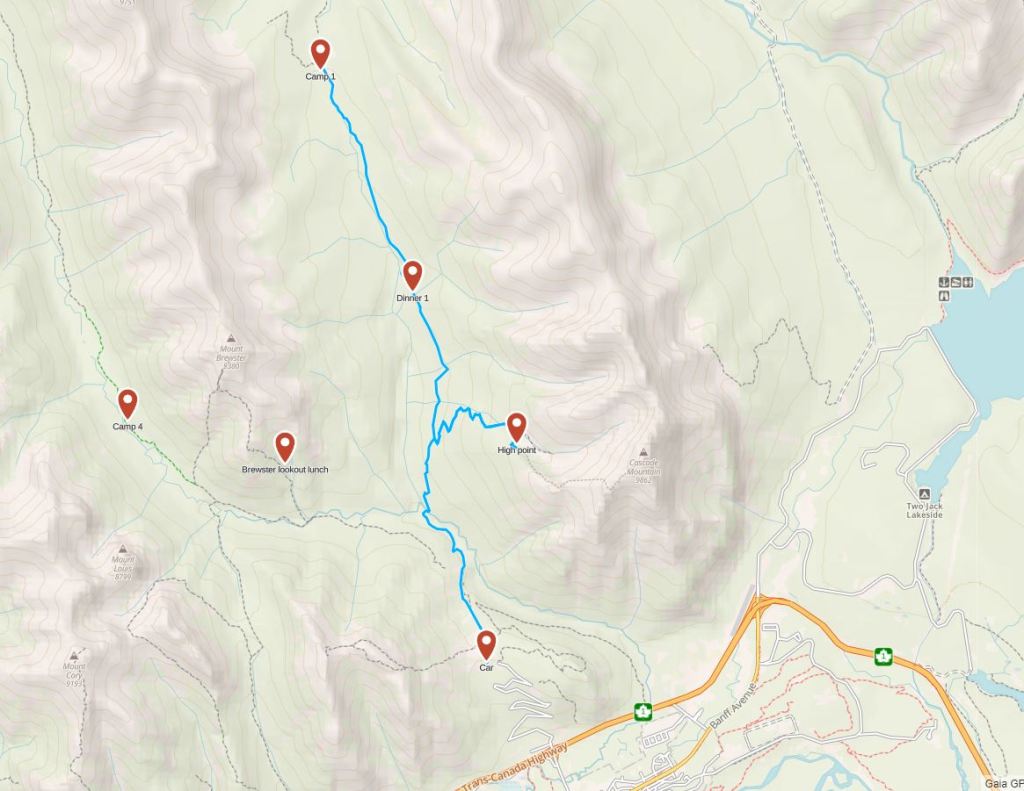
By the time we drove from Calgary to Banff, got our permit in Banff, and then made it up to Mount Norquay where we began our hike, it was around noon. Under cloudy skies, we began walking north toward Elk Lake Trail. We detoured up the Cascade Amphitheatre Trail, 3.4 km out-and-back, with some ambitions to climb Cascade Mountain that were quickly thwarted by clouds, snow, and more vertical than we cared to ascend.
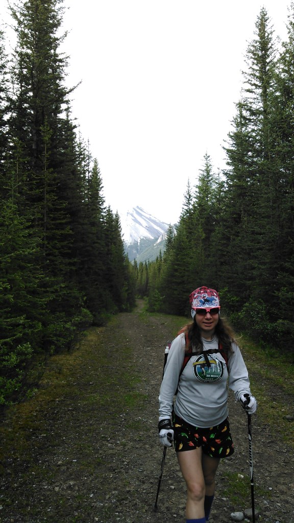
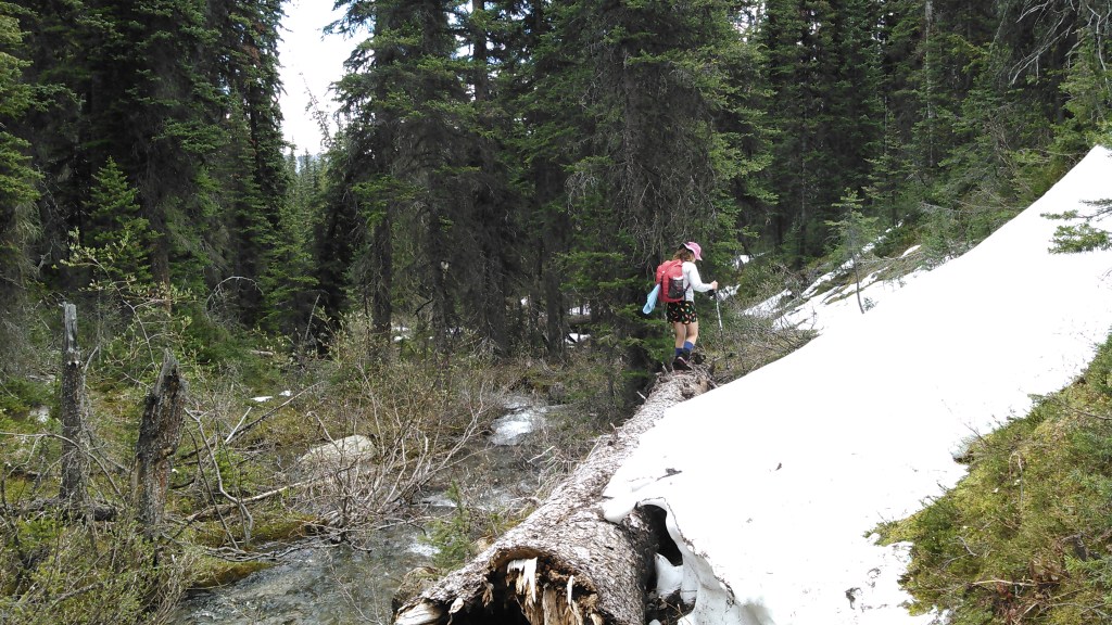
Despite the snow up higher, the trails in the valley were remarkably dry and almost entirely snow-free.
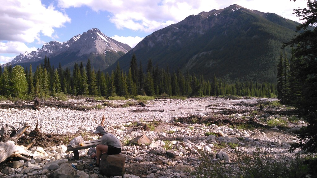
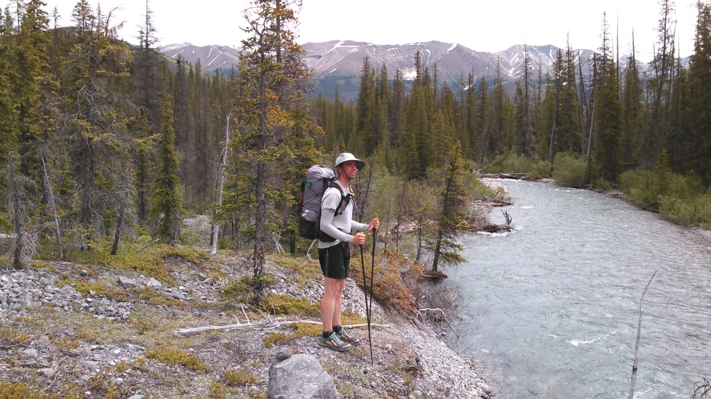
Because we had started later in the day, we were ready for dinner before we got to camp. When we found the stream below, we decided to take a break and cook dinner.


After dinner we continued walking toward our camp at Elk Lake Summit. Banff National Park requires backcountry campers to camp in designated backcountry campgrounds at a specific site. They have group cooking areas and cables for food hanging.


Day 2 (6/18/17): Elk Lake Summit Campground to Stony Creek Campground

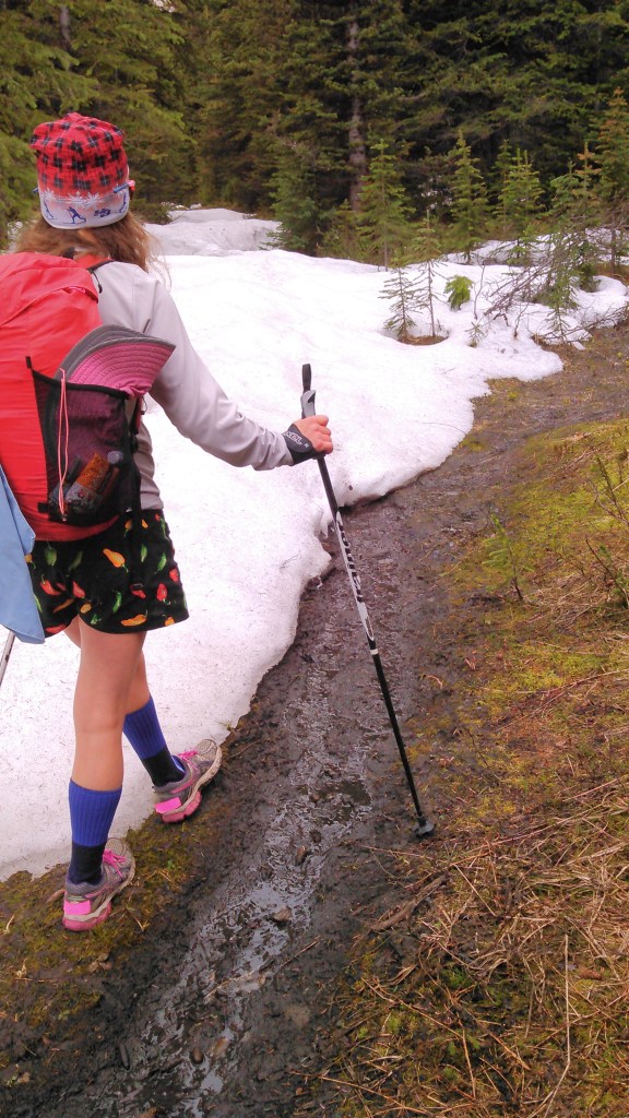
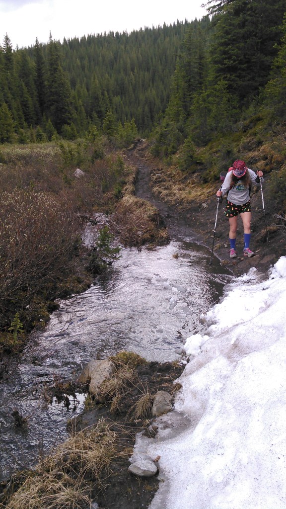
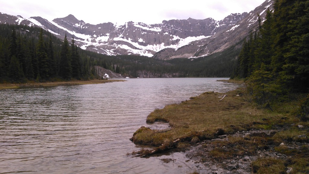
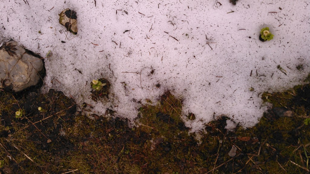
After a chilly start, we got back on trail. We had thoughts of detouring up to Elk Lake, but found the trail entirely snowed-in so we continued north on the Elk Summit Trail. We found some snow on this trail, too.
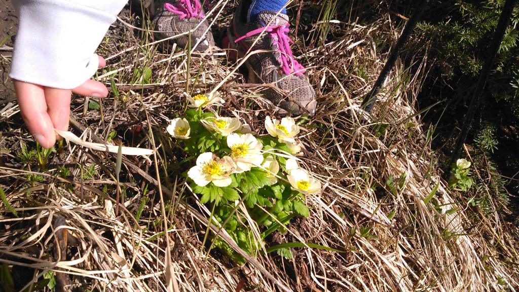
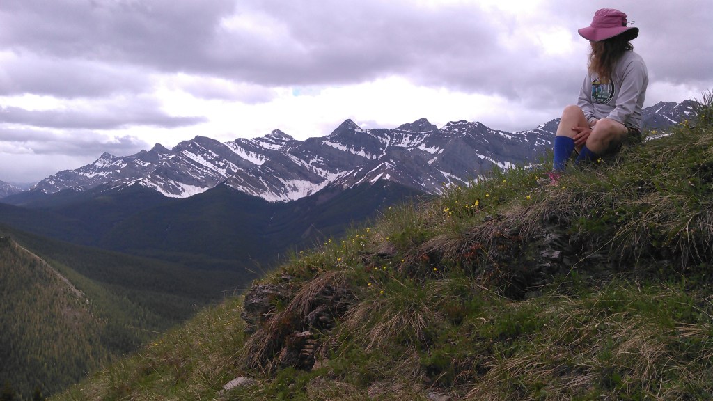
Given we only had 10 kilometers to go to the Stony Creek campground, we kept thinking about a side hike. Given Elk Lake was a no-go, we kept looking for some good alternatives. As the Elk Summit Trail curved east, to the north was a grassy mountain that looked too good to be true- so we started an off-trail ascent.

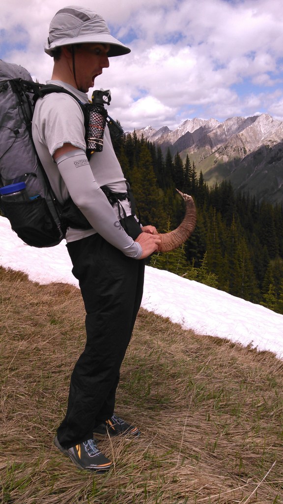
To get off the mountain, we took a slightly different approach down the tree-less gully on the south side. It was mostly easy walking on the grass but sometimes it was more like tussocks and sometimes there were some small loose rocks. I slid a couple times and even fell. The whole gully was littered with big horn sheep horns. Had we not been in a national park I totally would have packed some out to bring home.
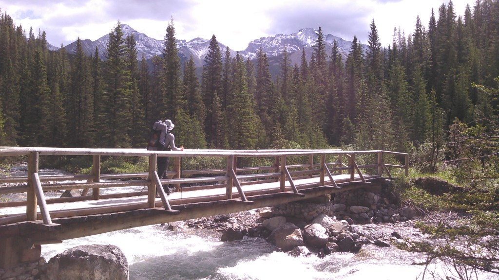
Once back on the trail, we continued east until we got to the Cascade River. Here we realized we had a problem with the bridge being out.
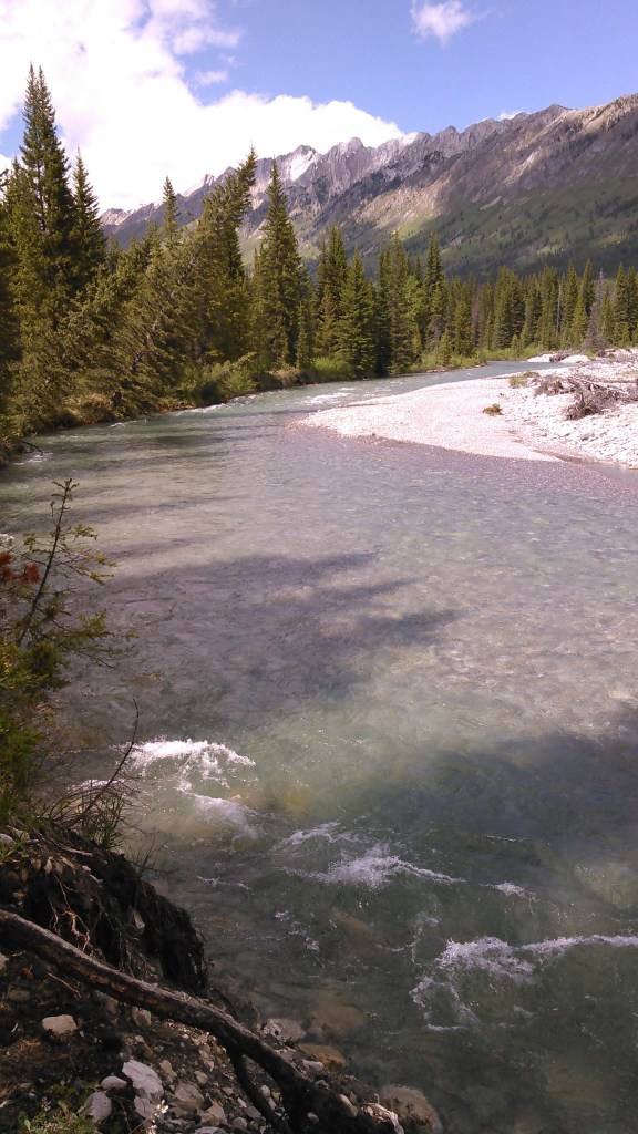
I knew the water in the river was ice cold. Where the trail looked like it crossed there was a bit of a bank. Here the water was maybe three to four feet deep before it got shallow. I doubted my ability to wade through significant current in water that deep. Downstream it looked like a long swim before I could get out safely. After some debate, we agreed to bushwack upstream until we found a reasonable place to cross the river.
And so we started walking. And kept walking. We found a place where the river narrowed and was uniformly deep. Erik got naked and went to scout, holding onto our bear rope while I guided from shore. I watched him struggle mid-stream, the water coming up to his crotch. He came back across to me, figuring if he was struggling I wouldn’t be able to make it with the water almost a foot deeper on me.
So we kept walking upstream. It seemed like forever but wasn’t that much farther until the stream widened and was only about two feet deep. Erik stripped again, except for leaving his shoes on without the insoles, and crossed the river with his pack, testing the route. He made it safely across and came back for me. I also got naked and Erik took my pack as I held onto him on the downstream side as we made it across the icy stream.
Once across the Cascade River, we walked around naked through the woods, not expecting to find any other people. We stumbled upon some camping sites and eventually found the campground. We got dressed and set up camp. Several hours later, after dinner, another guy showed up at our camp so we weren’t as alone as we had thought.
Day 3 (6/19/17): Stony Creek Campground to Sawback Lake Campground

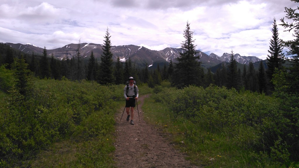
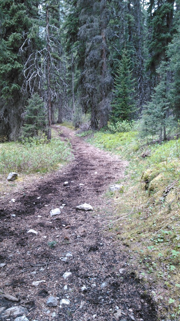
After another chilly morning we got back on the trail, only this trail was more like a road- wide with a dirt/rock base. Obviously before this became wilderness it was more of a forest road or even train line. A couple passed us heading in the opposite direction. I believe they were doing a short run-backpacking loop. Locals.
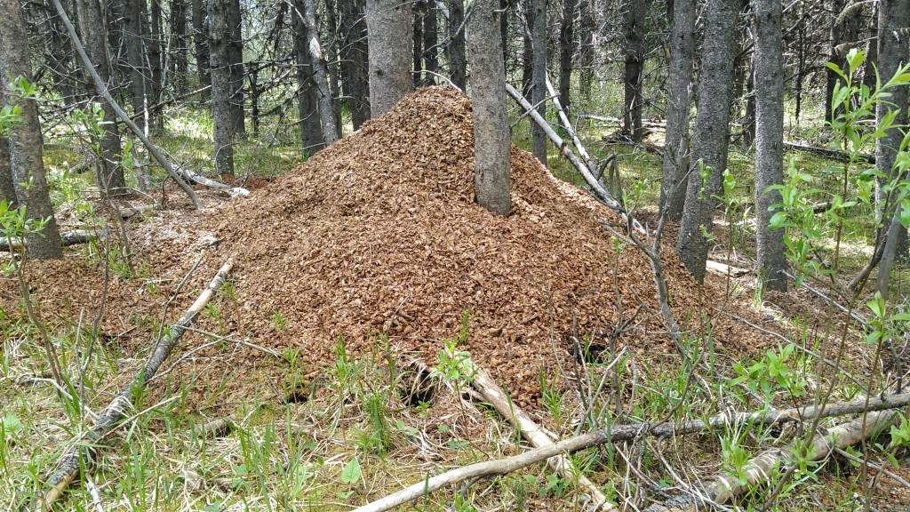
The trail narrowed slightly as we turned west on the Flint Park Trail. We passed a massive wood chip pile and I had to take a photo. We suspected this was made by some animal as there were no heavy machinery tracks or felled trees around. The skies continued cloudy, quietly brooding, but not really threatening rain either.
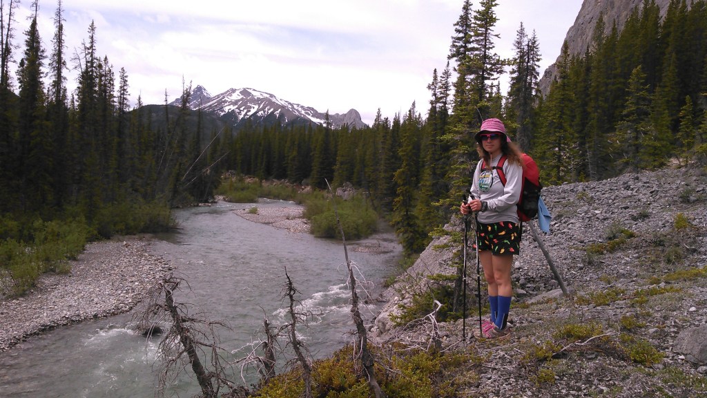
As we kept hiking, we got intermittent glimpses of the Cascade River, the one we had forded the day before. We weren’t finding any other possible fording places and were beginning to think we had gotten lucky to find the spot we did.
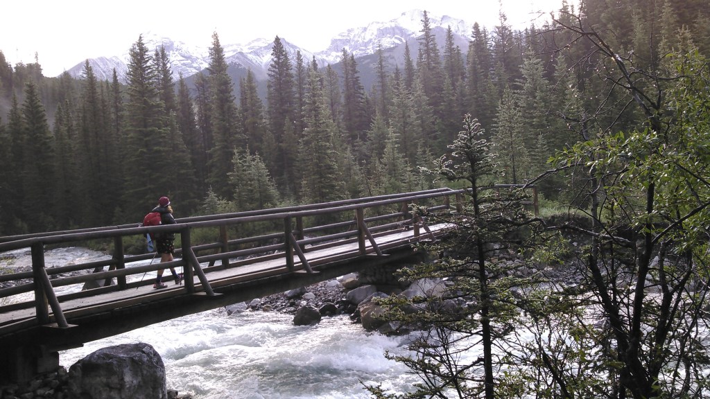
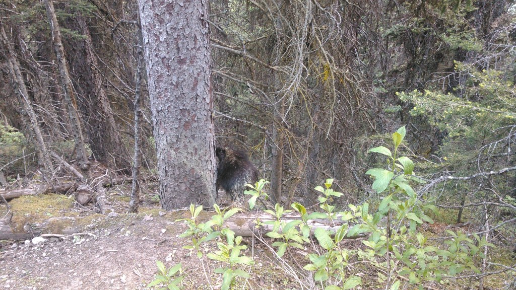
At the intersection with the Forty Mile Summit Trail we crossed the Cascade River on a nice wooden bridge and began hiking south on what more resembled a backcountry trail. As we hiked through the woods, we crossed paths with a ptarmigan.

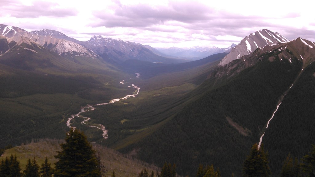
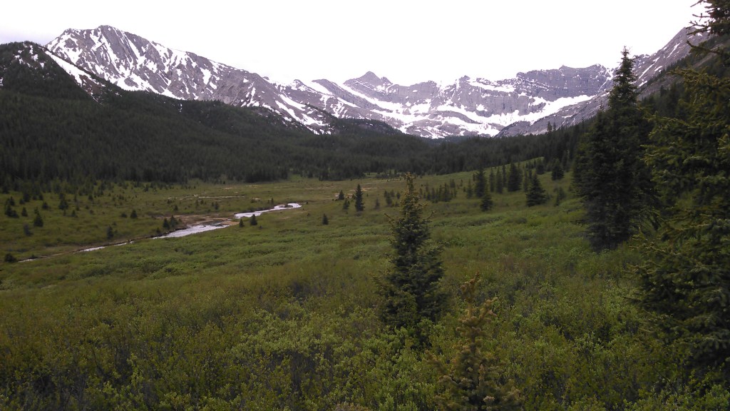
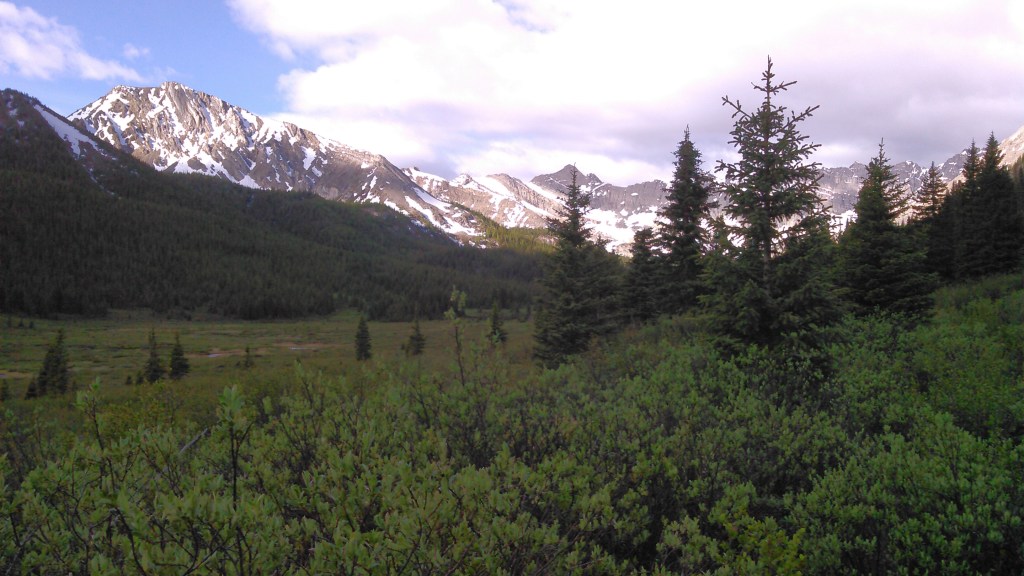
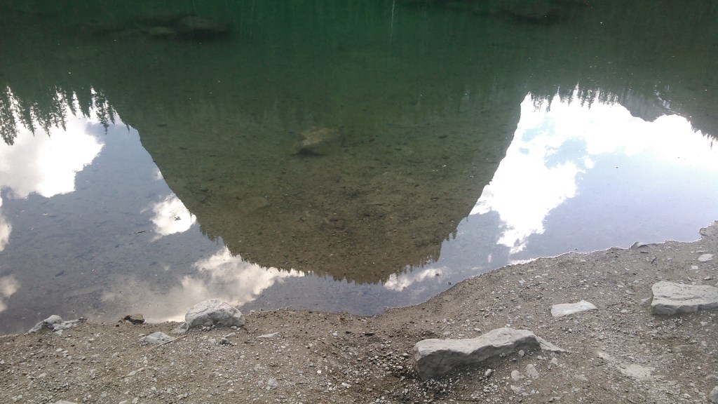
Soon we came to the trail heading to Sawback Lake and our campground and a whole beautiful valley opened up. We continued to our campsite, again finding ourselves alone, but also finding soggy swamp grass- the outflow from Sawback Lake- between the tent sites and the toilet and cooking area. It was already nearing dinner time and so we cooked dinner.
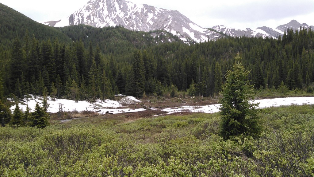
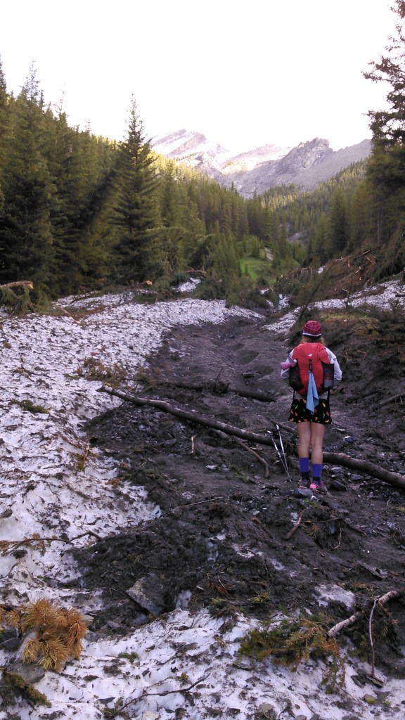
After dinner we hiked up to Sawback Lake. On the way we passed a big avalanche slide and all the debris- mostly broken bits of trees everywhere. It went quite a ways into the valley, showing the power of snow moving exceedingly fast downhill.
We finally made it up to Sawback Lake but didn’t linger long as rain threatened.
Day 4 (6/20/17): Sawback Lake Campground to Mount Cockscomb Campground with Mystic Lake Detour

Finally we were greeted to a sunny day! Erik was nice enough to cross the swamp grass to retrieve our bear hang. After breakfast we started hiking back to the Forty Mile Summit Trail.
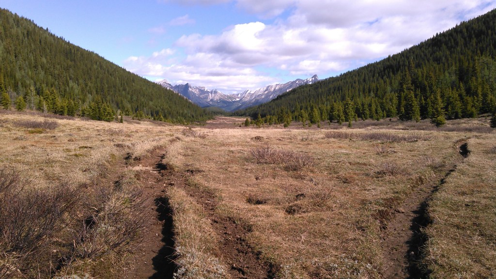
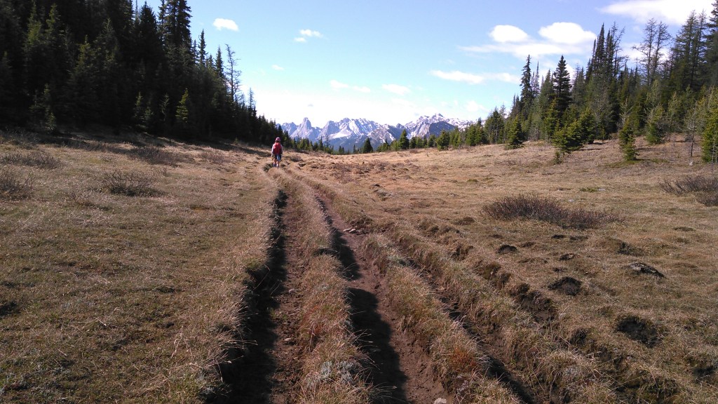
The Forty Mile Summit is not exactly a high mountain pass. Rather it has an incredibly gradual ascent and descent- possibly why it got it’s name. The views were still good off in the distance but no close jagged peaks. As we neared the summit the trail got rutted from hikers on the delicate tundra grasses. Only this area had emerged from snow too recently to look much like tundra to us. We were too afraid of deep snow to attempt any high mountain passes on this trip. And rightfully so.
A ways after the pass we found ourselves in the most lush forest I’ve ever been in. The ground was all moss and springy, like being on a mini trampoline. I’m not sure why we didn’t take any photos- maybe because it’s one of those rare places that feels more like never-never-land than Earth.
By mid-morning the clouds came back. We needed farther to hike on the day so decided to do an out-and-back up to Mystic Lake. As we neared Mystic Lake, we started walking through some snow.


Our detour only took a couple hours, but was enough to take up some time. Soon we were back on the Forty Mile Summit Trail heading towards Cockscomb Campground.
We still got to camp relatively early and set up our tent. The area was well established and had several good bouldering rocks. I was looking forward to exploring after dinner but as we finished eating, the rain finally came.
Day 5 (6/21/17): Cockscomb Campground to Mount Norquay Trailhead
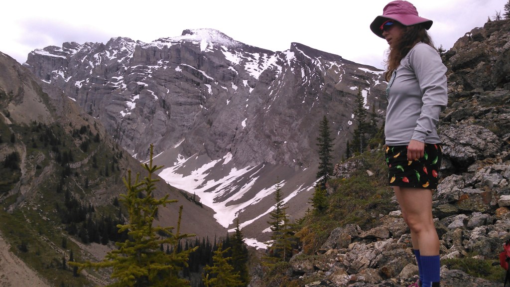
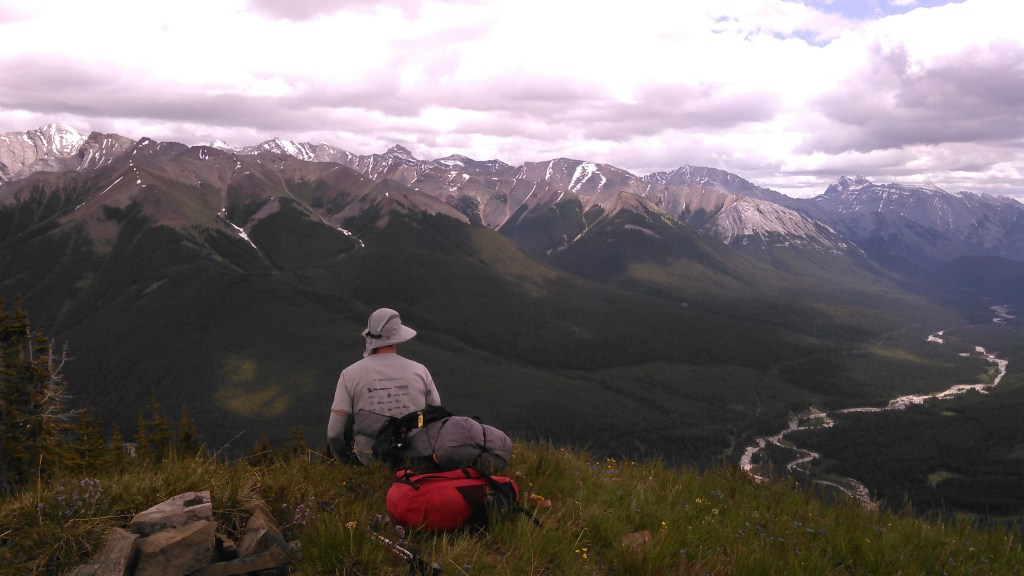
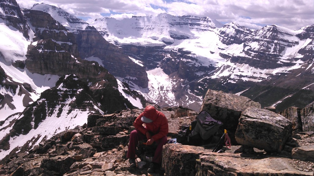
The rain stopped overnight and the sun was trying to poke out when we woke up. We didn’t have far to go on this, our last day in the backcountry so we debated some different side hiking options. Eventually we decided on hiking a ways up Mount Brewster. We didn’t really have any summit aspirations- more just trying to get above treeline to score some good views.


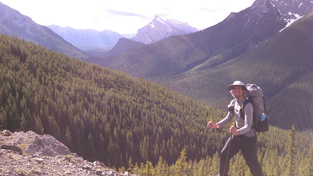
After we got a good view and had a snack we decided to head back to the trail. Mount Brewster was still a couple thousand feet above us and we had a fancy hotel with a pool to get to!
The hike back to the car was uneventful and went quickly. Then we got in the car and started driving towards Lake Louise.
Johnston Canyon and the Inkpots

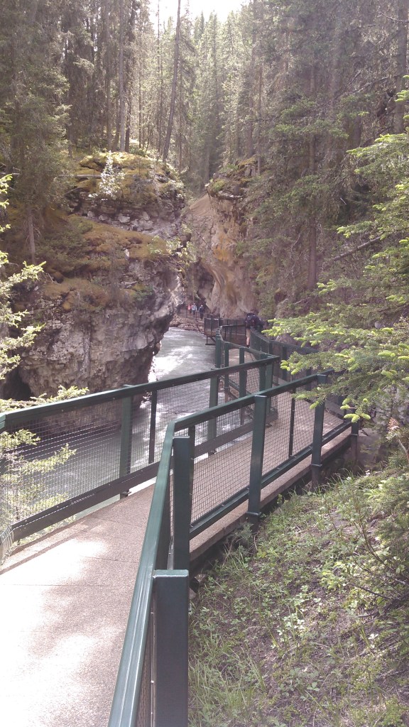
But before we got to the hotel, I insisted we stop at Johnston Canyon, a destination one of my scribes loved. Erik was less than enthusiastic…but we were driving right by and it was barely after noon.
Johnston Canyon is one of those narrow gorges that has been overdeveloped with bridges and walkways that defy gravity. It’s not that Johnston Canyon isn’t cool, but rather the first canyon I was to like this, Watkins Glen State Park, was made by the CCC who blasted tunnels and steps from the rock. It’s probably unfair to Johnston Canyon, with it’s metal and plastic walkways to say it was anti-climactic, but it was incredibly anti-climactic. Instead I’d highly recommend Watkins Glen in upstate New York.
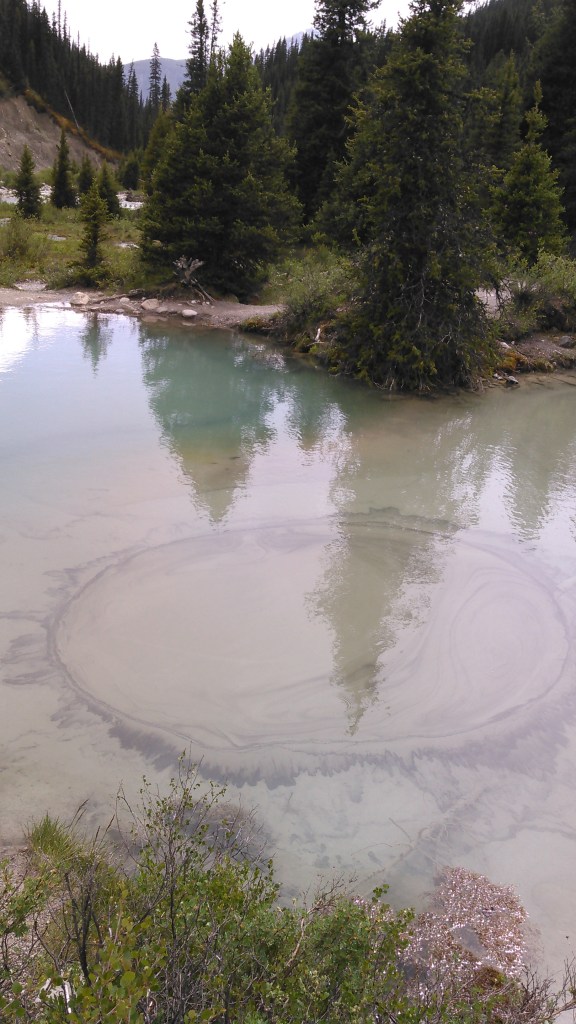
And then I further insisted that we go another 2.6 km to the Inkpots.
The Inkpots are colorful mineral pools with geysers. They were more interesting than Johnston Canyon and were also in an open area where we could see the mountains of the Sawback Range. We didn’t linger terribly long but enjoyed this unique natural feature.


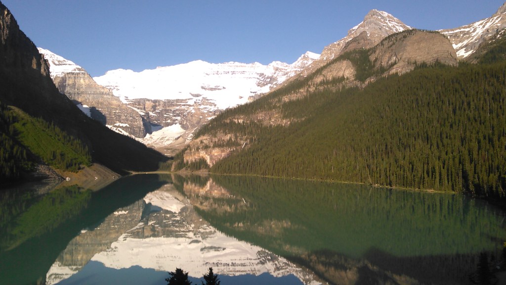
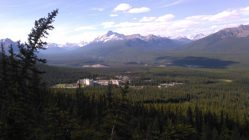
After our Johnston Canyon/Inkpots adventure, we headed to the Fairmont Chateau Lake Louise. We checked into our room which had a view of Lake Louise and the Victoria Glacier aka Best. Hotel. View. Ever.

Day Hiking
Moraine Lake to Eiffel Lake (6/22/17)
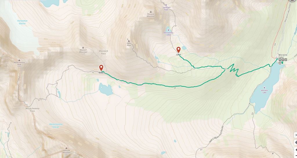
While I was at my morning conference, Erik did some research and learned the Moraine Lake area was the place to go hiking so off we went. Prior to learning about all the snow, I had grand plans of crazy day hiking loops- like Paradise Valley to Valley of the Ten Peaks via Sentinel Pass but Erik and I weren’t prepared to deal with tons of snow so we took a bit more chill approach.
When we arrived at Morraine Lake following the short drive over from Lake Louise, it was crawling with people. I’m not sure why I was so surprised, I mean our hotel room above Lake Louise provided great people watching, but after seeing five people in the backcountry in five days, the throngs were overwhelming.
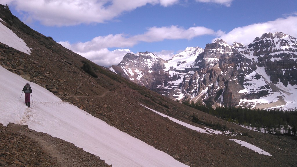
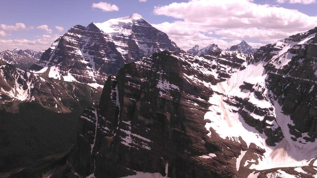
We quickly got away from the masses by taking off on the Eiffel Lake Trail with a goal of Wenkchemna Pass. I wanted to get there cause that would mean hiking to British Columbia! Not far up the trail we dropped almost all the people. After gaining some elevation on a few switchbacks, we began contouring above the old glacial valley. Here the views were absolutely spectacular of the Valley of the Ten Peaks. We also intermittently hiked through patches of snow and tried out our “Alaska boots” which we had recently bought in anticipation of a trip to the North Slope of Alaska the following year.
By the time we were above Eiffel Lake we could see Wenkchemna Pass and that it was all snowy. We kept on in the snow for awhile anyway but we were either post-holing badly or else scrambling along slowly on boulderfields that were clear of snow. Finally we decided the effort wasn’t worth it and we should just enjoy the view.


Since it was still early and we had plenty of daylight left (the sun didn’t set until 10 pm as we were so far north), we hiked a ways up the Larch Valley Trail. We knew Sentinel Pass would be way too snowy, but we needed to spend some more time in the outdoors.


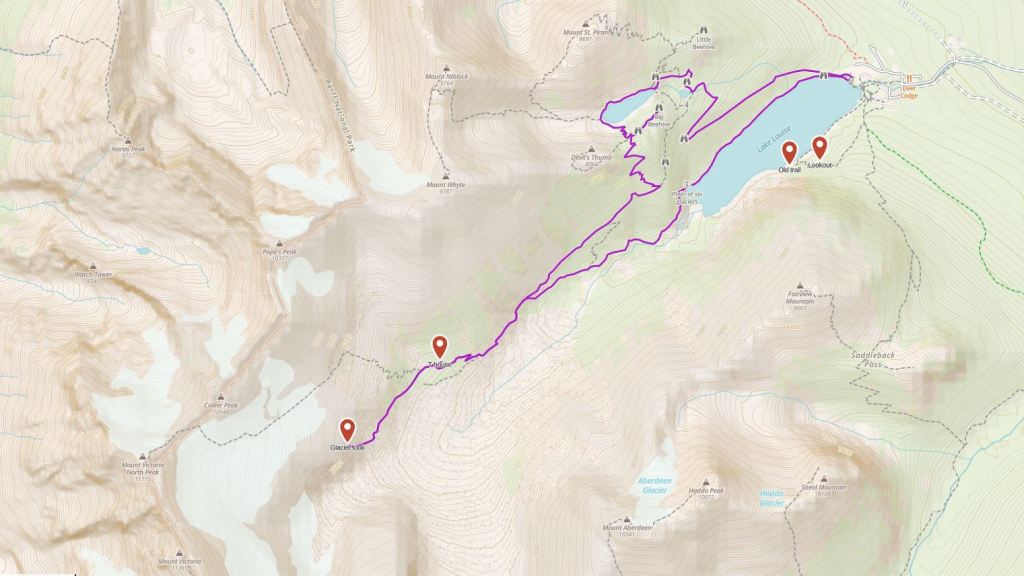
The Classic: Plain of the Six Glaciers Trail and the Big Beehive (6/23/17)
After my morning conference session we were off for a hike from our hotel.
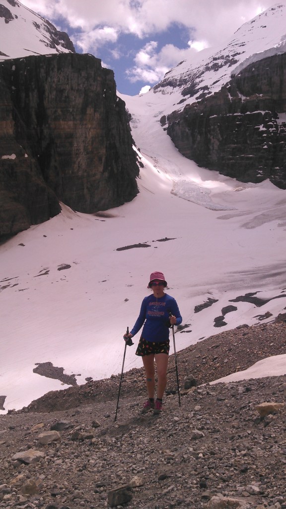
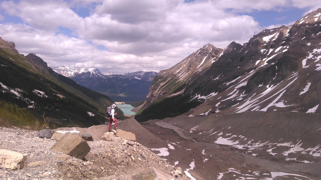
Of all the hikes we did, this one had the most people! At least along the Plain of the Six Glaciers. In this area of Banff there are many what I call “shelf” glaciers. These are huge glaciers at the top of cliffs. Usually I think of glaciers as flowing down to the valley, but these were just hanging up there. And calving! We could hear the glacier calving off Mount Victoria all the way from our hotel room, but it did it as we hiked up the Plain of the Six Glaciers Trail, too. And what a crazy loud noise and then a big cloud of snow.
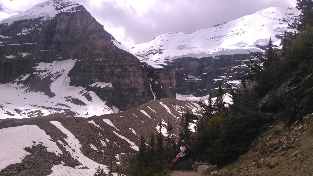
We hiked past the tea house and were close to the Victoria Glacier. One route up Mount Victoria from the east is “The Death Trap,” a couloir aptly named due to the risk of calving glaciers from above.
After eating a treat at the tea house, we retraced our route until we got to the Highline Trail and then we climbed the Big Beehive where we cooked our dinner.


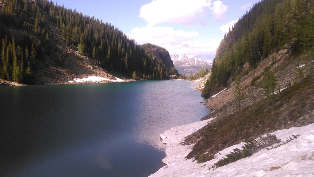
After dinner we descended to Lake Agnes, crossed even more snow, and headed to the Lake Agnes Tea House before heading back to the hotel.

Fairview Mountain (6/24/17)

Our last day hike was up Fairview Mountain from the hotel. We began on the Saddleback Trail which was well maintained; however, the Fairview Mountain Trail was in black on our map for unmaintained. It ended up being a steep combo of dirt and rock that my geology friend would refer to as “kitty litter” a couple years later. It was definitely one of those mountains that as I was climbing it I was thinking “I’m never doing this again.”

Unfortunately we couldn’t stay atop Fairview Mountain for the rest of our lives- or perhaps fortunately as we’d really only want to be up there during good weather. We began our slow descent on the kitty litter, sometimes sliding, always trying to remain upright. We made it back to the hotel in time for our canoe rental on Lake Louise.
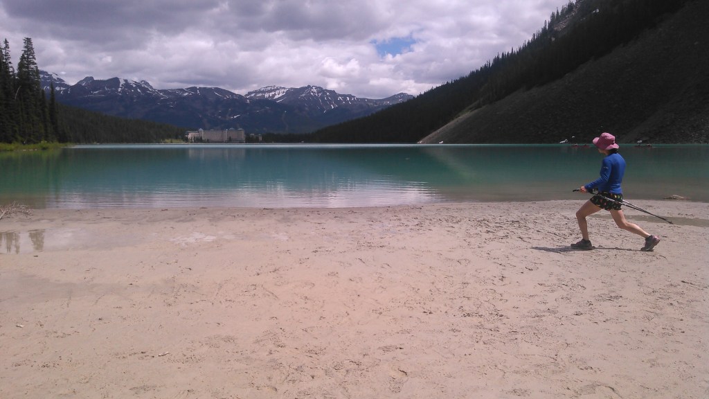
The canoe rental on Lake Louise was quite different from my normal. First, it’s ridiculously expensive. We got a bit of a deal since we were hotel guests, and it was Canadian money, but still. We wanted to get out on that sweet colored lake and hadn’t yet purchased our pack raft. Second, the staff treated us like we were from the upper echelon of society. I’d never experienced this previously and from someone of my background (how to find my story here) this was ridiculous. I mean, housekeeping folded my dirty underwear I had tossed on the floor. What the f***? Third, I’m a pretty rough and tumble kind of girl. Most of my canoe trips involve beaver dams, mud, and bushwhacking. This was the most civilized canoe trip I’d ever been on. They even tried to help us into the canoe.
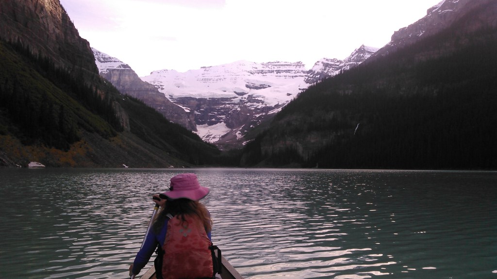

But we were bad and at the delta of Lake Louise we got out and pulled the canoe up the river a bit so we could ride back down. The boat renters didn’t like that at all (apparently there was some rule that we couldn’t get out of the canoe during the 45 minute rental time) and they came after us in their motorboat. They almost made us ride back with them but after some negotiation they let us paddle back.

The next morning after my conference we drove back to Calgary for our flight home.
In the end, the extra snow provided for even more stunning and beautiful scenery and got us to an area of the park we otherwise would have looked over (the Vermillion Range). I’d love to do a loop farther to the north in this area some time. Banff is less than two hours from the Calgary airport on a nice highway making it easily accessible. Hence, we’ll be back to do that route along the divide- really from Shadow Lake to Mount Assinaboine. I also want to see Paradise Valley near Lake Louise. And then there’s Mount Rundle!
