
Wherever we go backpacking, we always try to do loop routes. Apparently, as was true on our Beartooths trip in 2017, and now on our North Wind River Range trip, the trails don’t always connect into a circle and often skirt the most majestic mountains and instead stick to lower passes and valleys. Enter off-trail bushwacking, boulderfields, and elusive alpine meadows, glacial silt, and glaciers!
The North Wind River Range is located within the Bridger National Forest and Bridger Wilderness west of the Continental Divide and the Shoshone National Forest and Fitzpatrick Wilderness east of the Continental Divide. There are relatively few regulations in either of these wilderness areas and dispersed camping is allowed everywhere (except, of course, within 200 feet of established trails or lakes or 100 feet from streams). No permits are required for backpacking without livestock and we appreciate not being locked into specific campsites. This is free camping at its best but only due to its unpopularity.
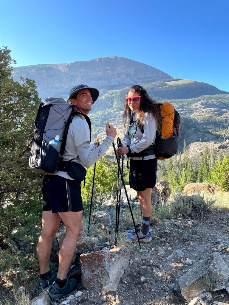
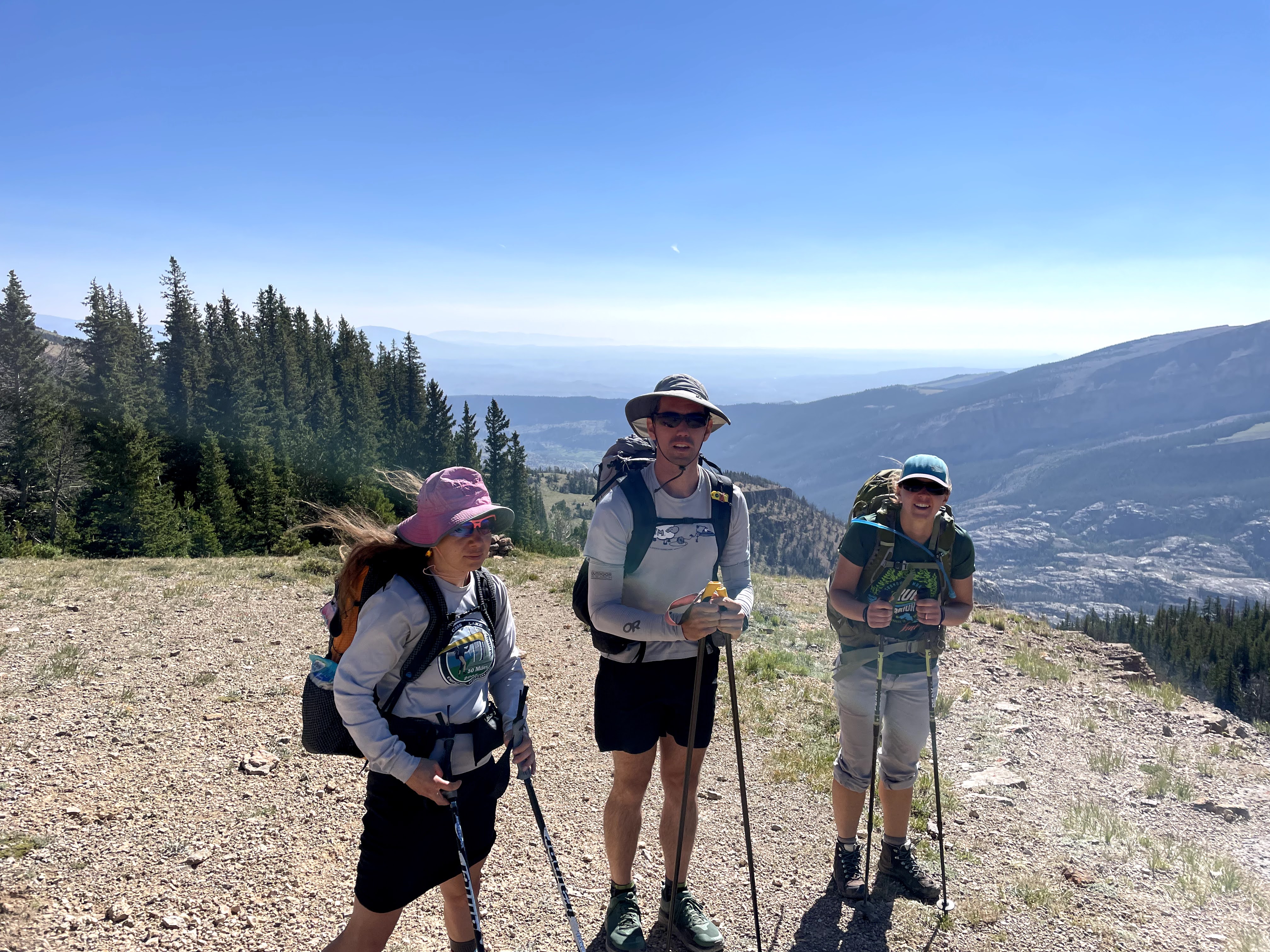
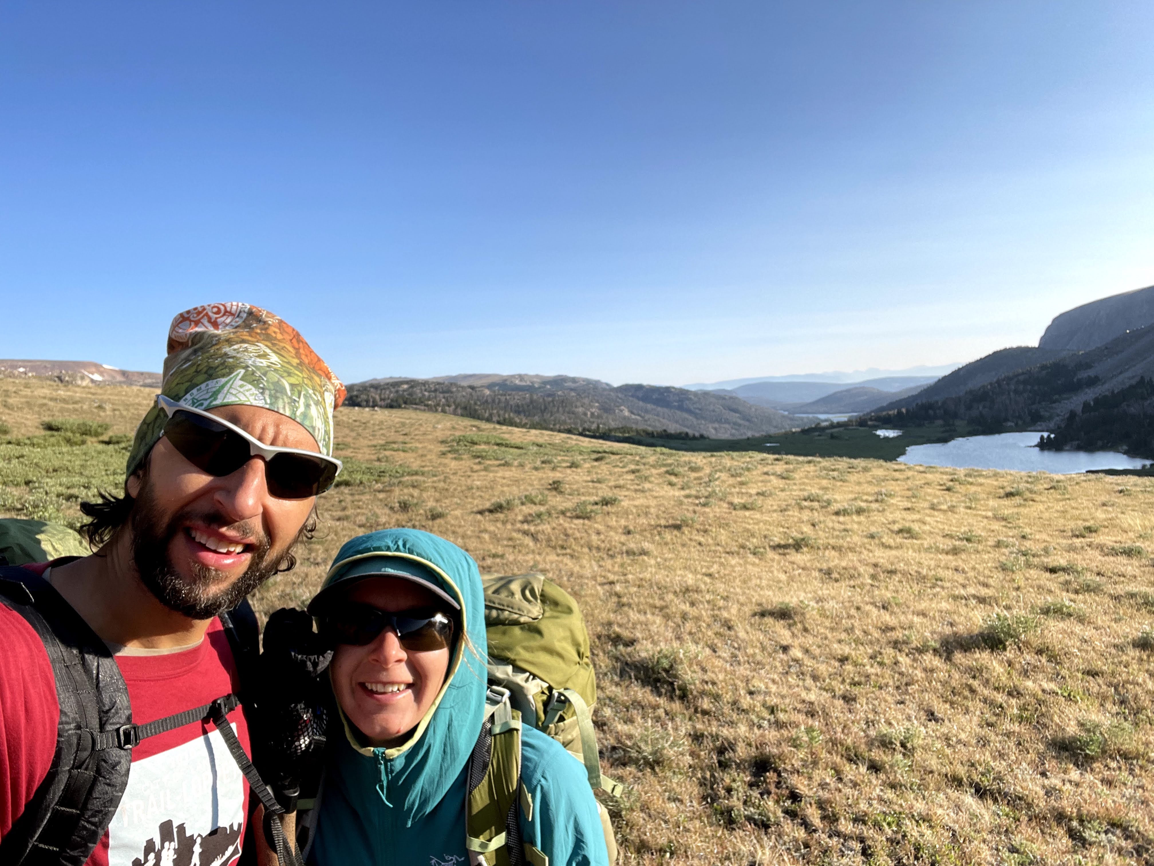
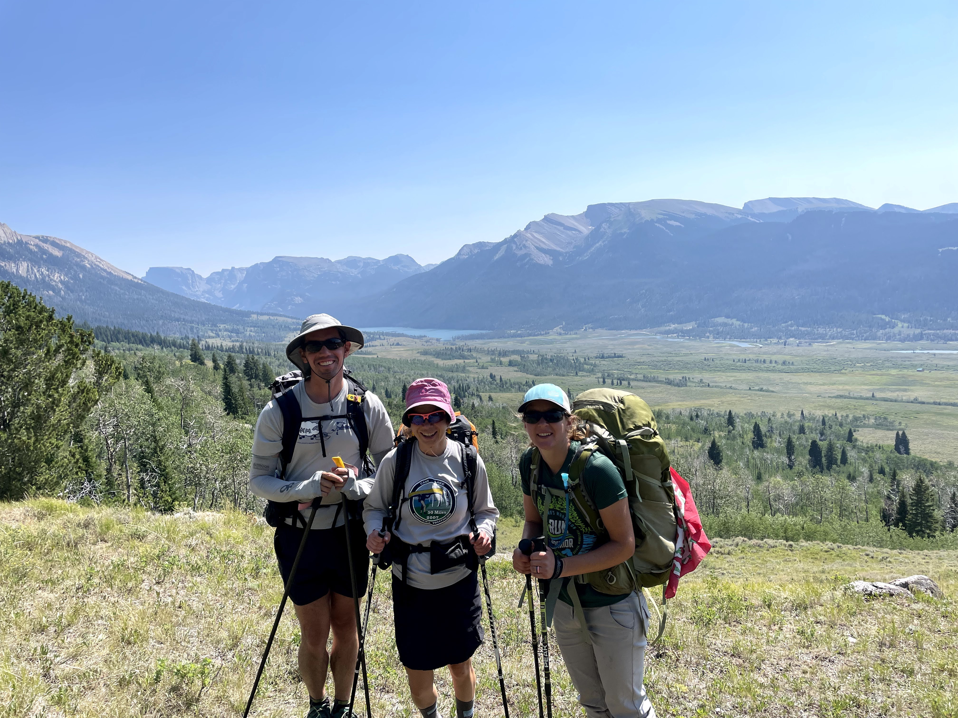
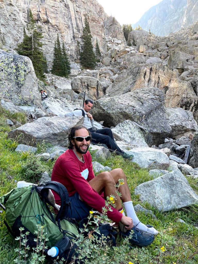
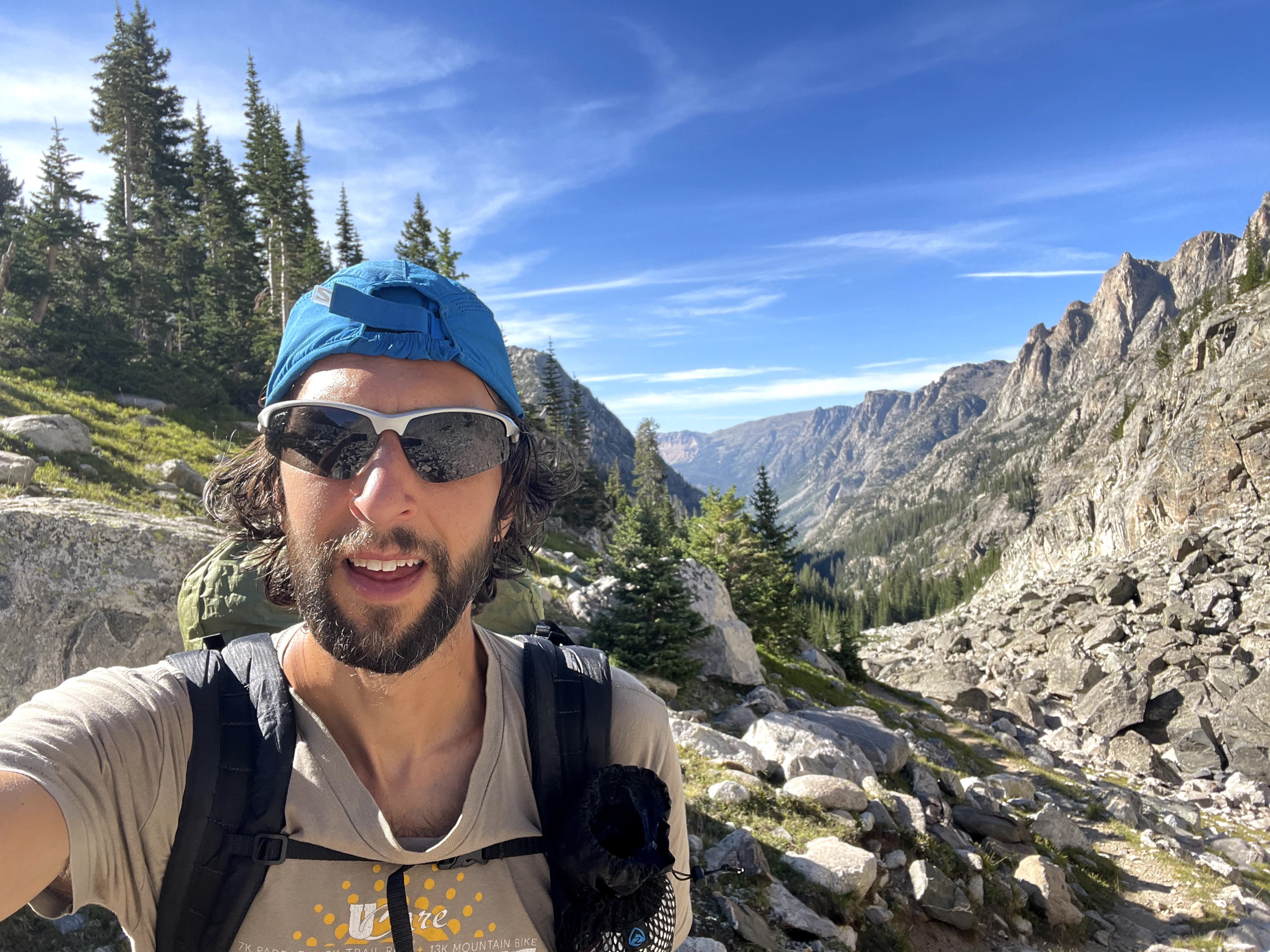
Our trip began and ended at the Glacier Trail Trailhead just south of Dubois, Wyoming on highway 411, because this was the shortest drive from the Twin Cities. “We” included my husband and our recently married friends Craig and Eva.

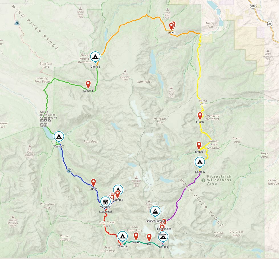
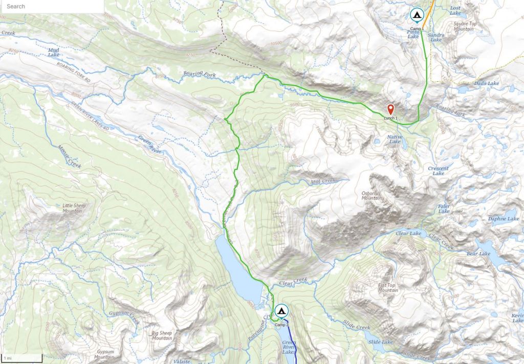
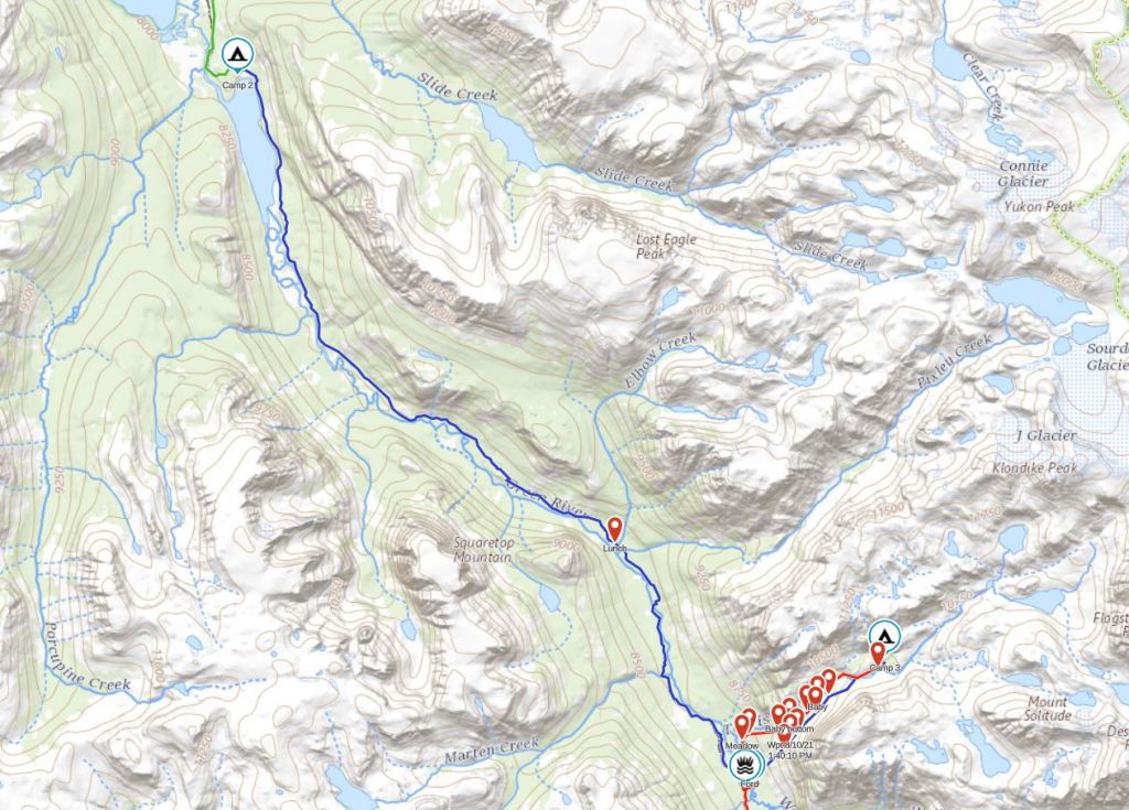
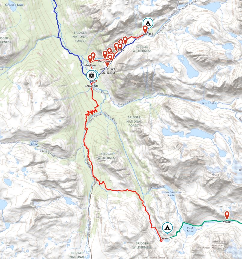
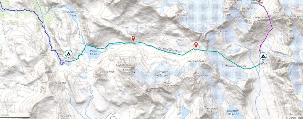
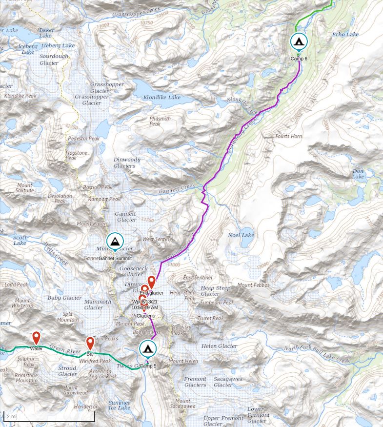
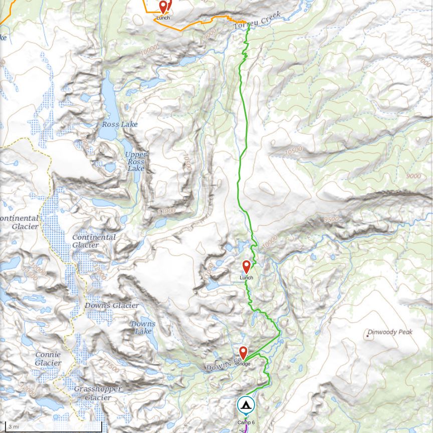
The route below, with each day a different color, began on the Whiskey Mountain Trail and ended on the Old Glacial Trail seven days later. And of course, because I’m a state high-pointer, we attempted a spur route up Tourist Creek and the northwest face of Gannet, Wyoming’s highest point.
Finally, so I don’t sound like a broken record, we experienced a phenomenal seven days in a row of 10/10 weather. As if we were living in a climate controlled environment we had relatively mild overnight temps and blue skies without any threat of rain until our final two hours of hiking.
For anyone doing this trip, note that there is ample free dispersed camping along highway 411, at each of the lakes and at the trailhead. We took advantage of this so we could get an early start our first morning.
Day One (8/8/21): Glacier Trail Trailhead to Pinto Lake
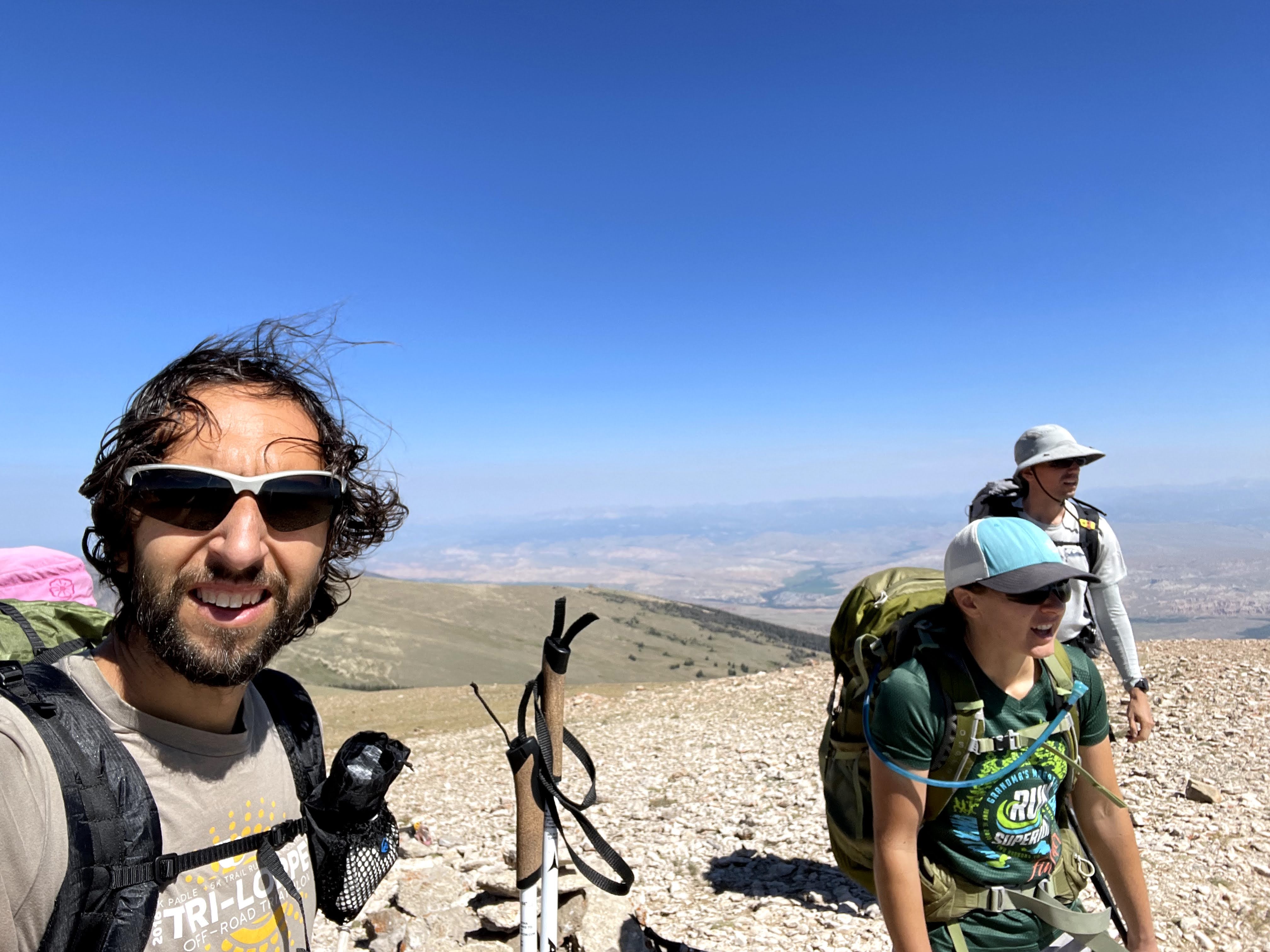
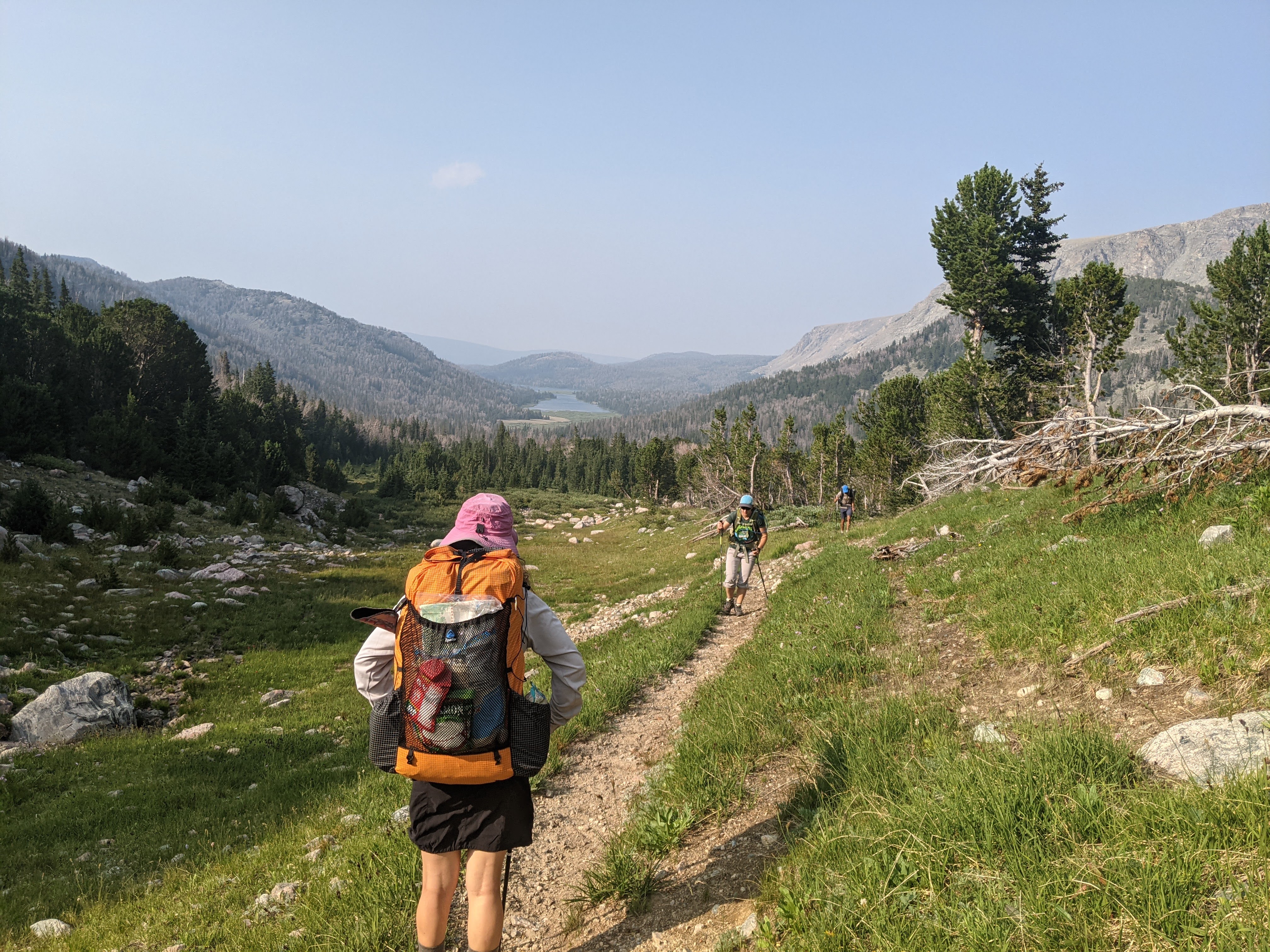
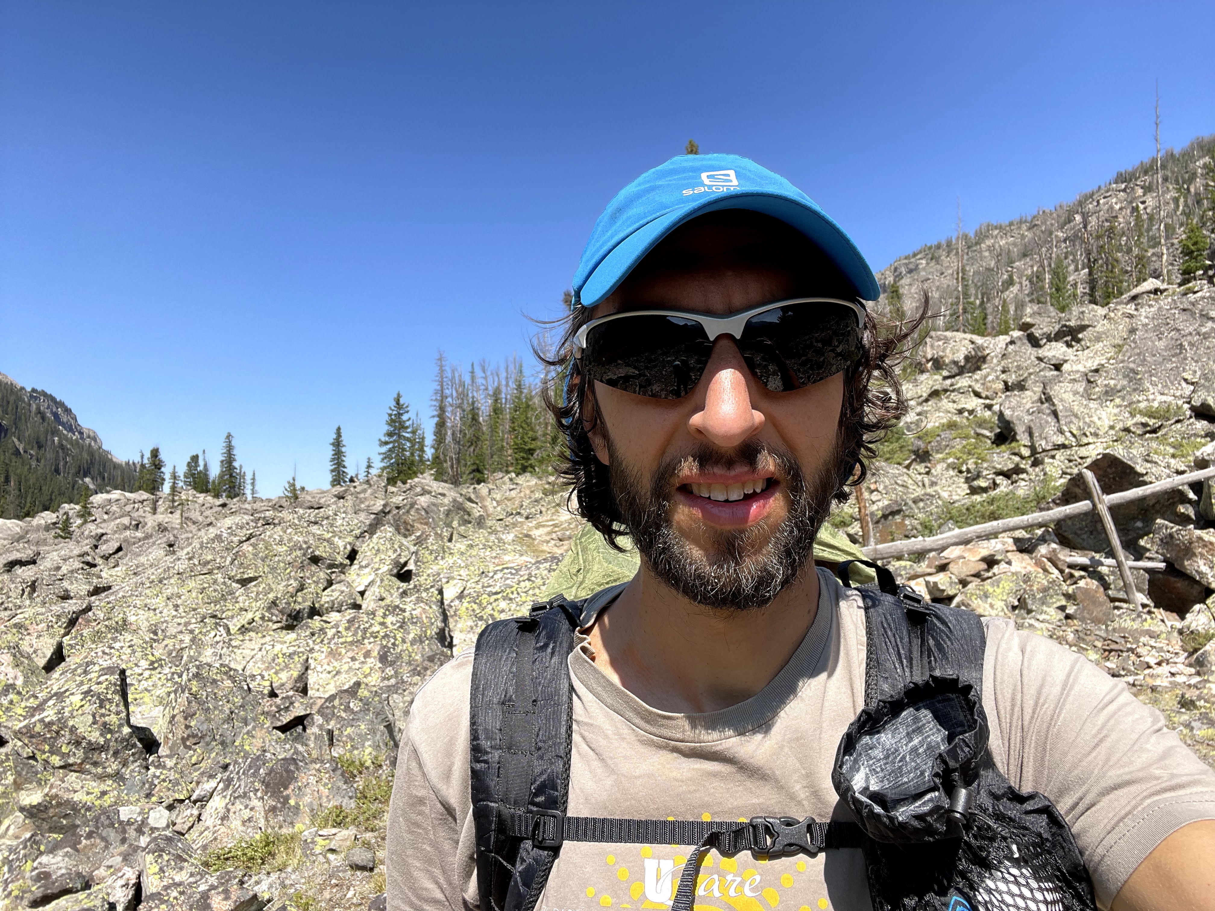
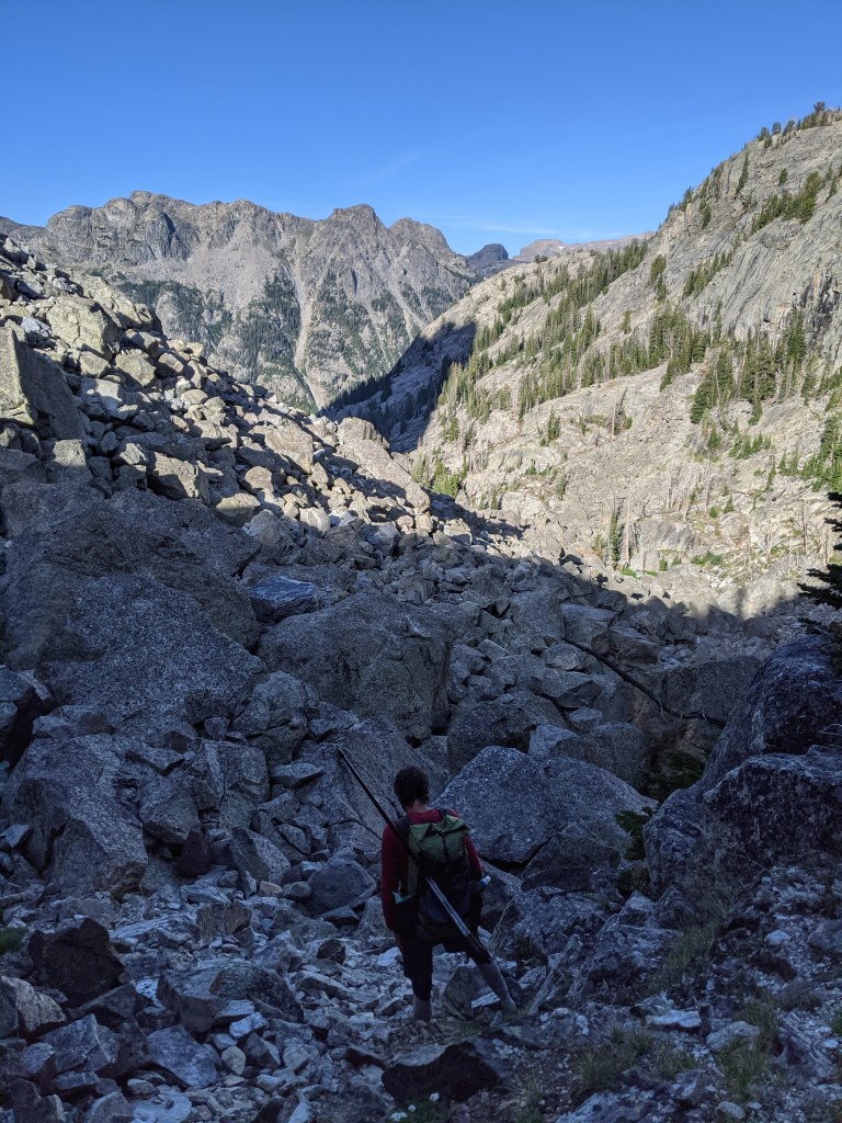
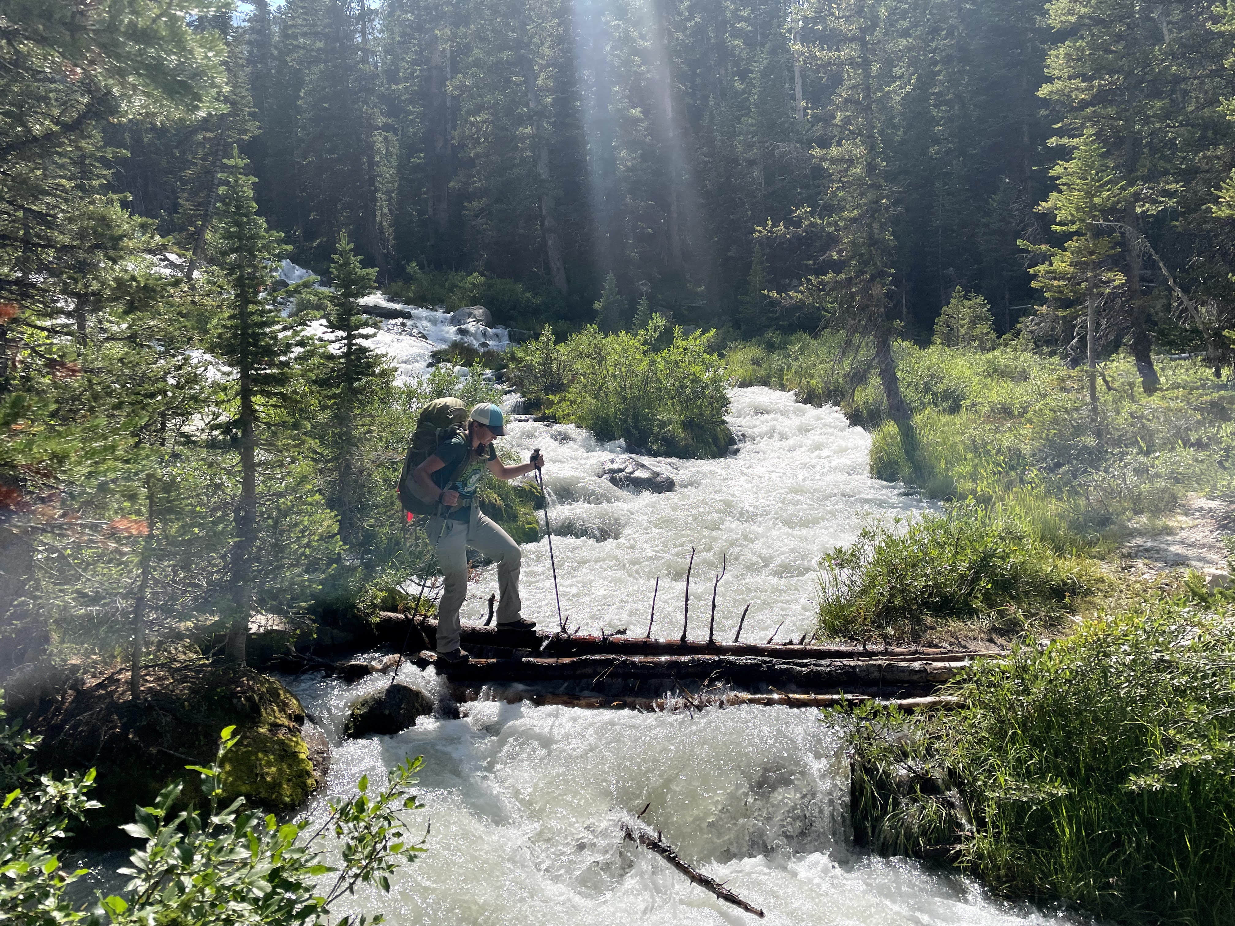
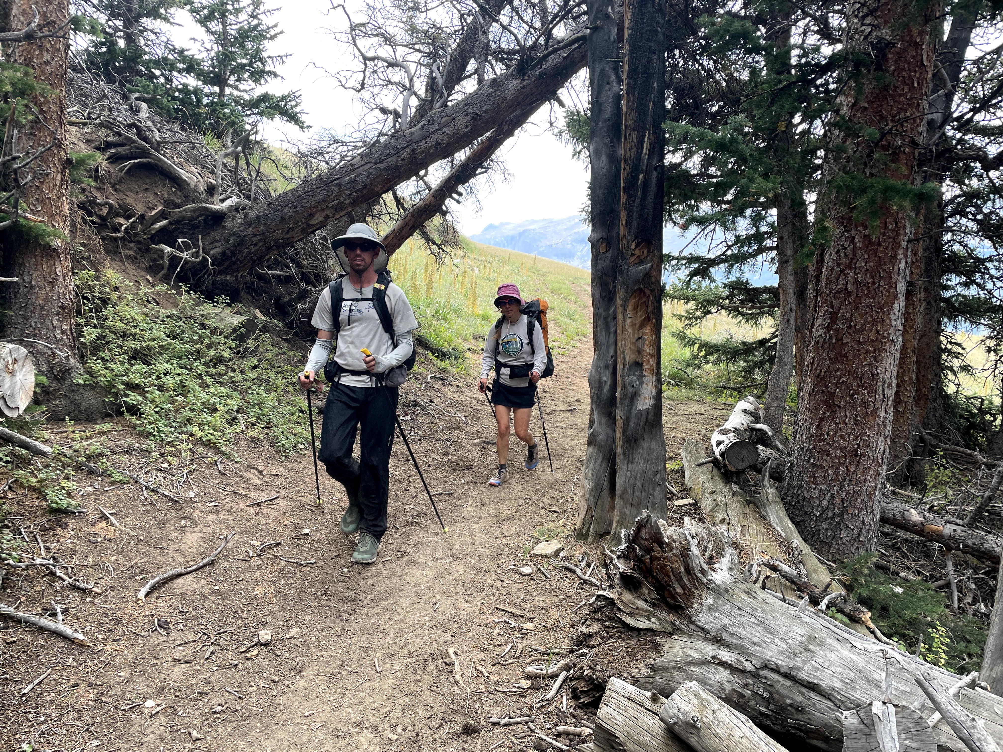
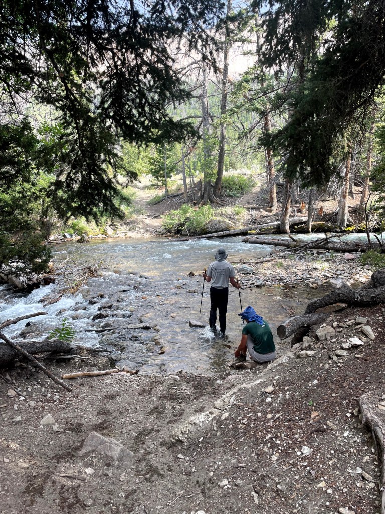
While we expected a relatively cool mountain morning, temps only got down into the mid-40s and we had early full sun beating down on us as we hiked up the switchbacks on the Whiskey Mountain Trail. I led, keeping a slow civilized pace as we gained elevation. The route was dry so we started with full water bottles which meant 3 liters combined for Erik and I with Craig and Eva each carrying 2 liters.
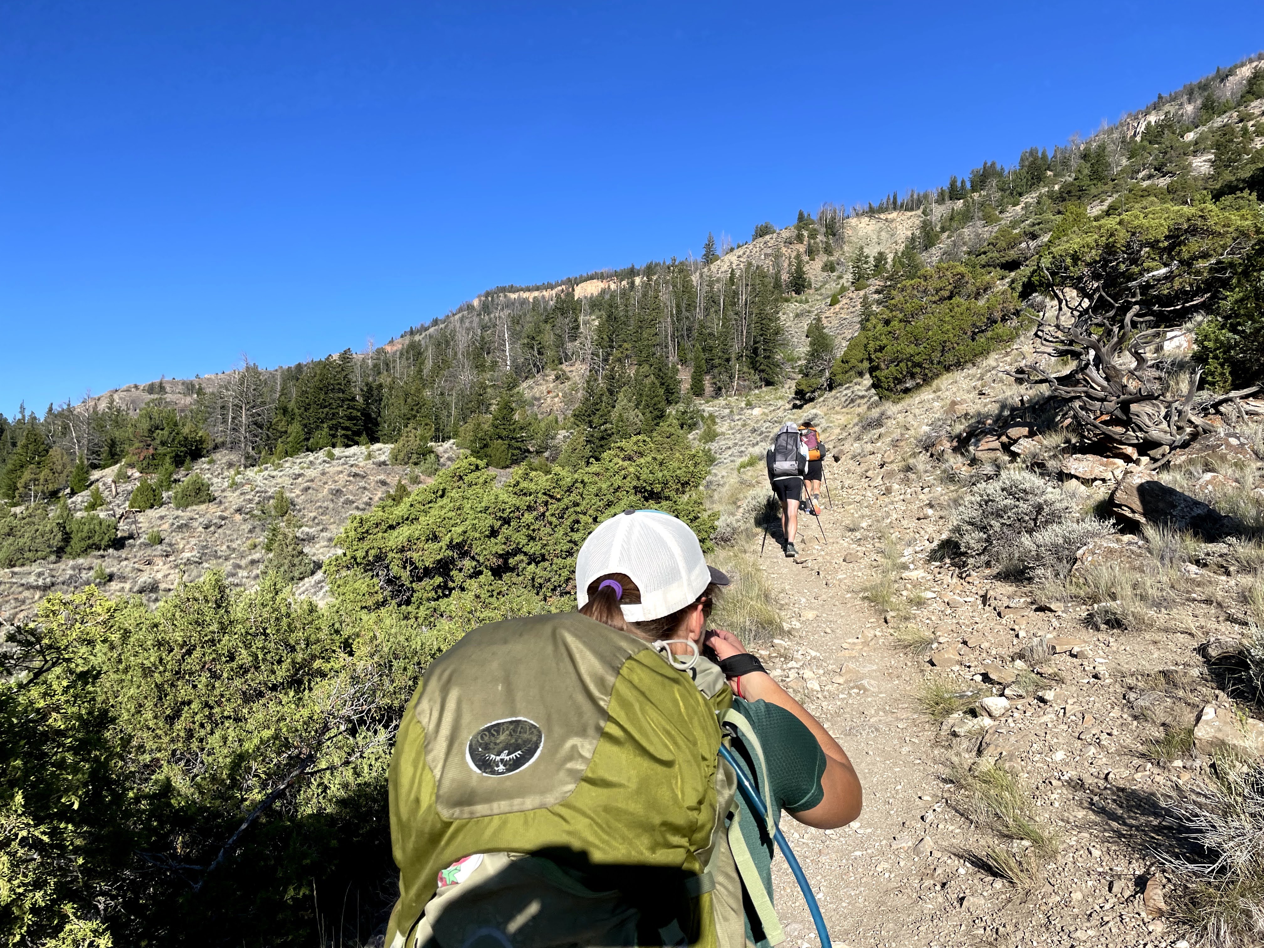
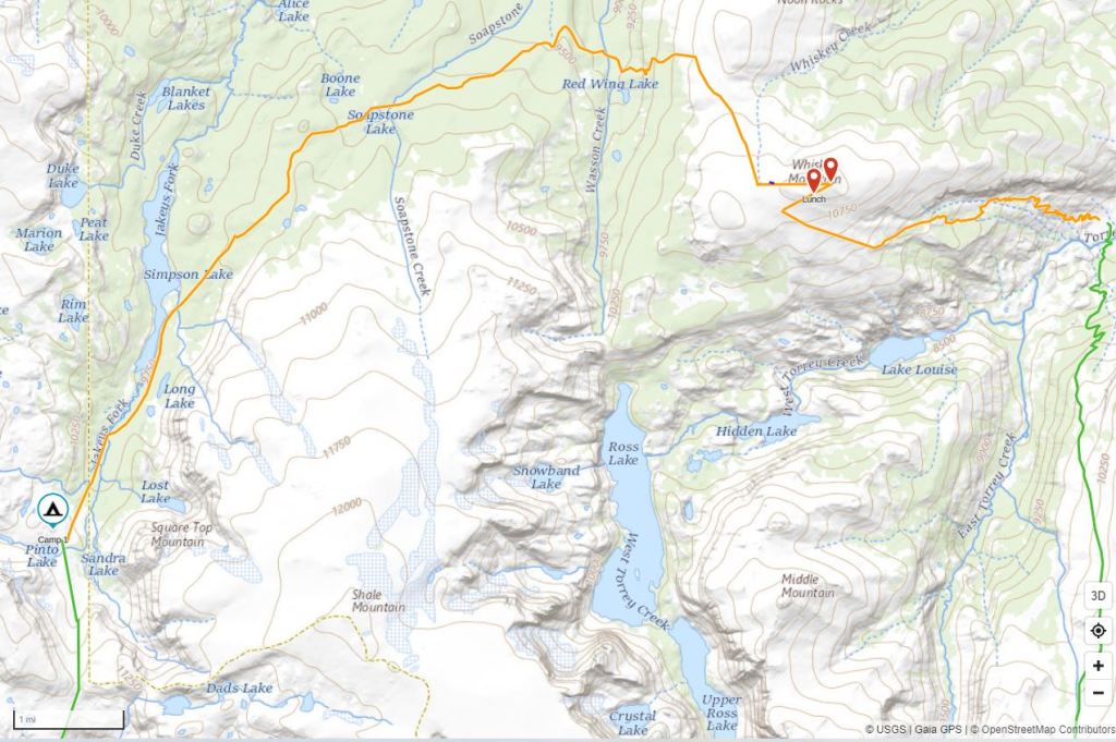
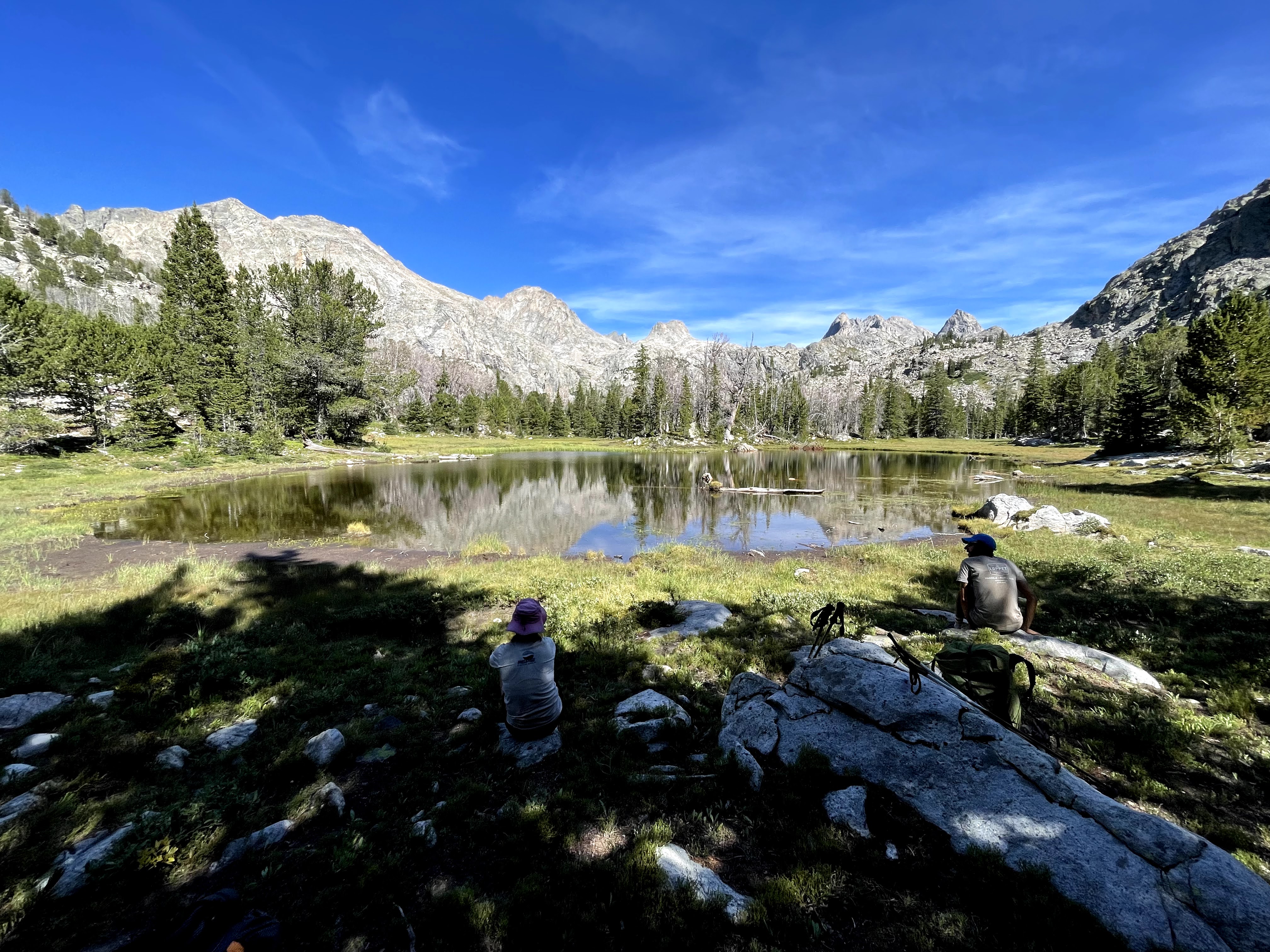
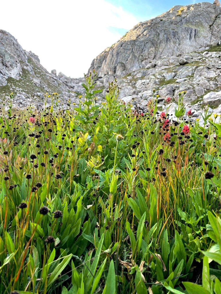
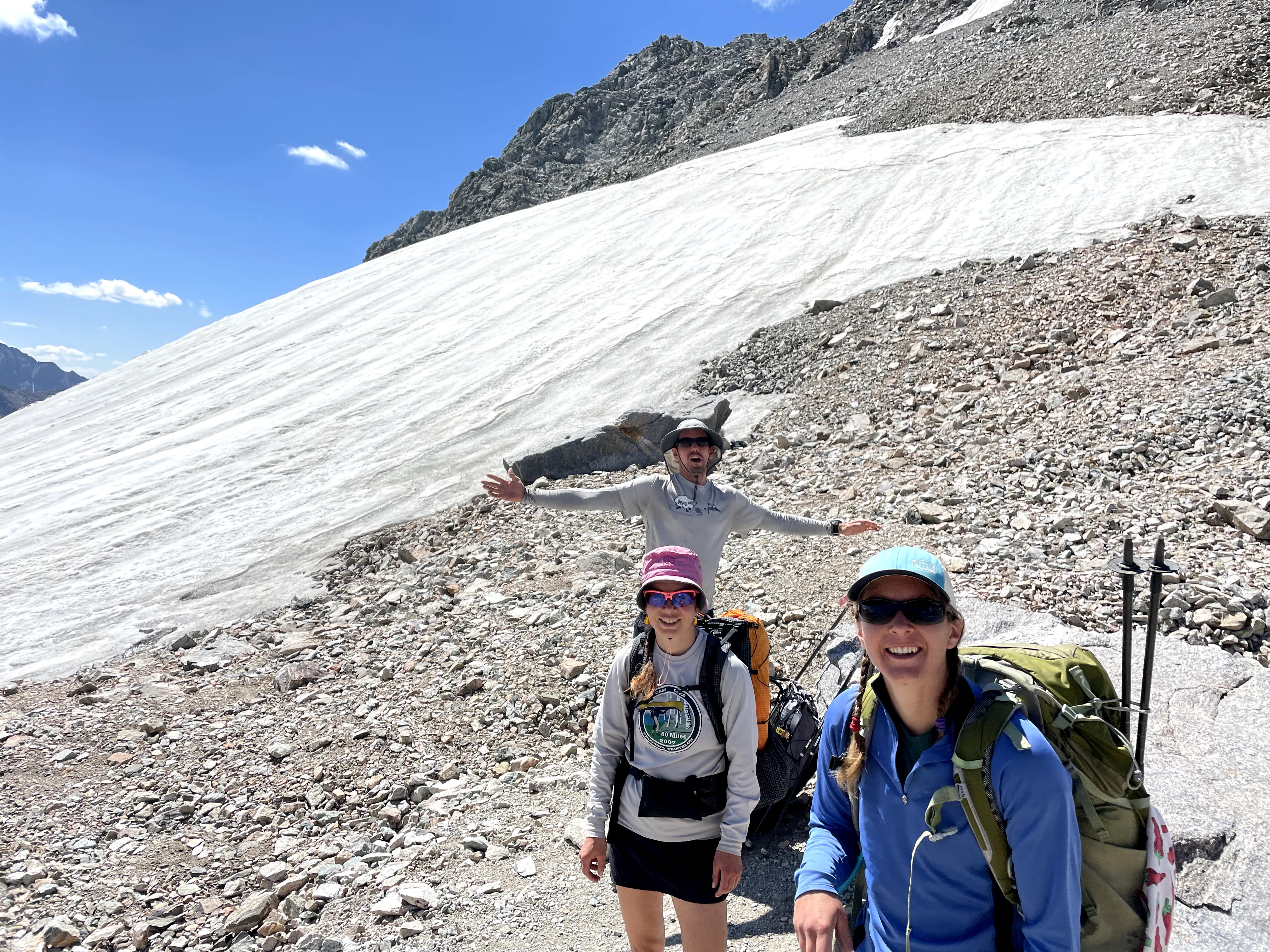
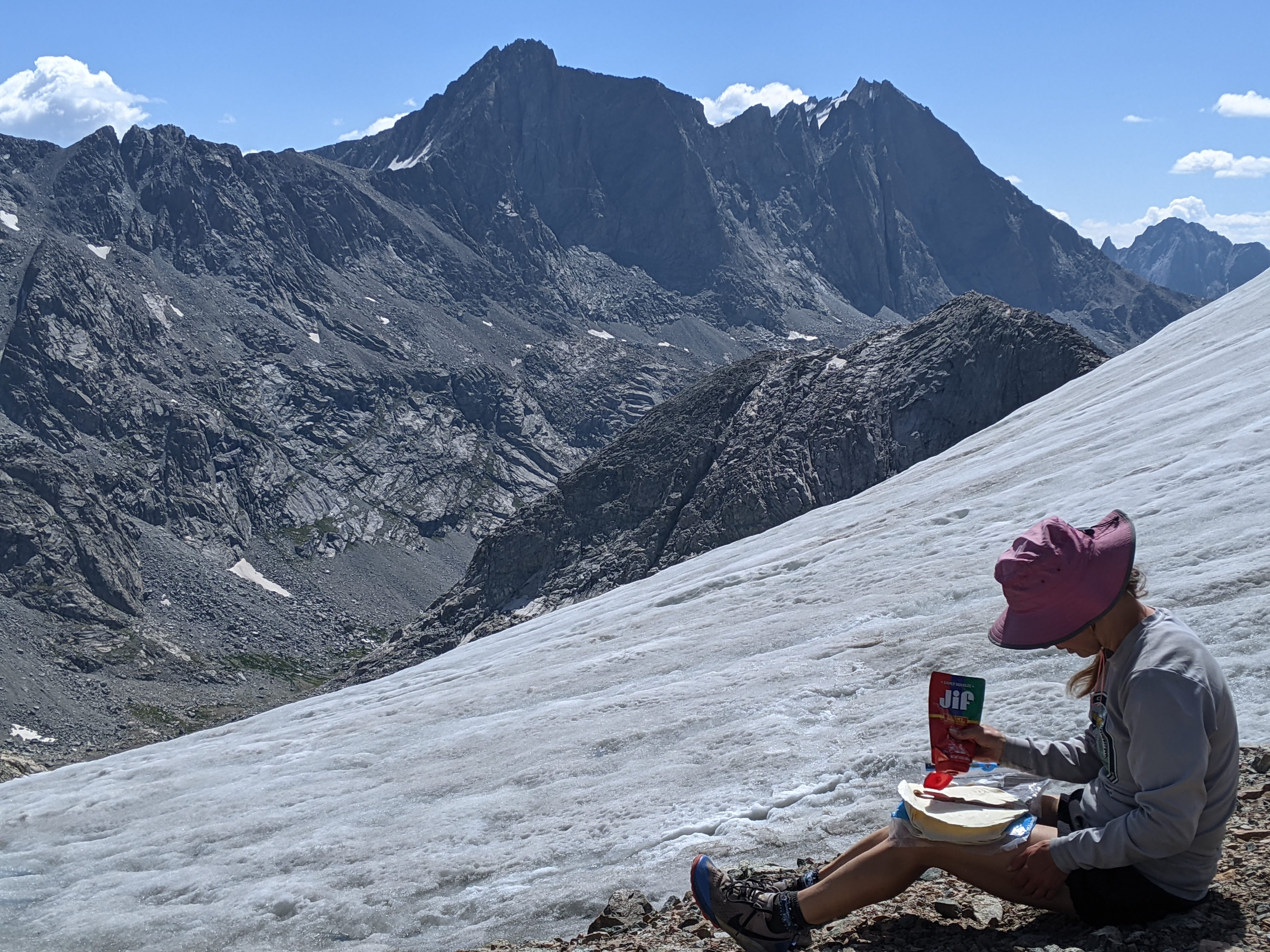
After emerging above tree line, we found ourselves on a grassy plateau with some tussocks, like on the alpine tundra. Likely because this area is snow-covered so much of the year and not terribly popular, we could barely make out the trail. We debated side-hiking over to Whiskey Mountain and decided to go for it, over 3,000 vertical feet above the trailhead. It was super windy on top and even a bit cold so after we took in the views, we found a small depression a bit below the summit to have our first lunch of peanut butter-dried fruit tortillas.
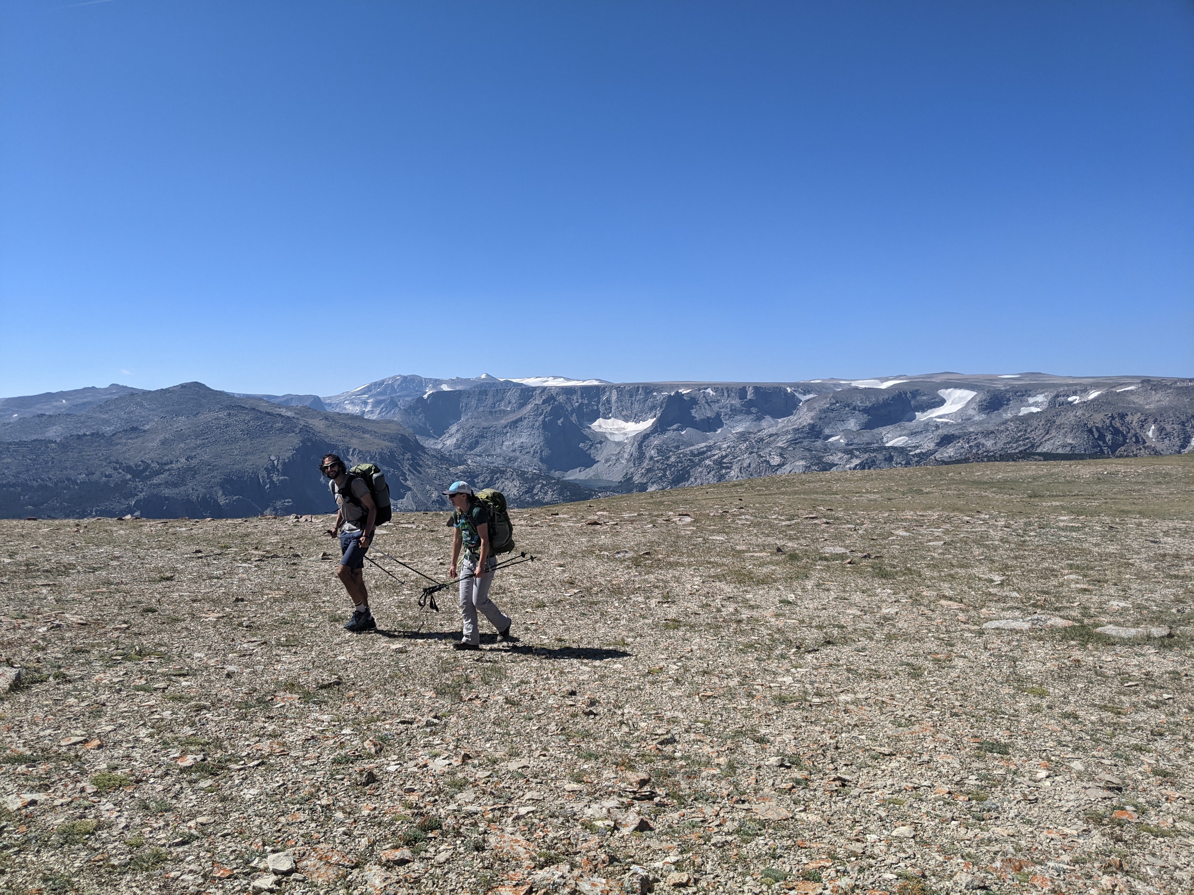
From here we kept hiking down the Whiskey Mountain Plateau, although we had a bit of trouble following the trail.
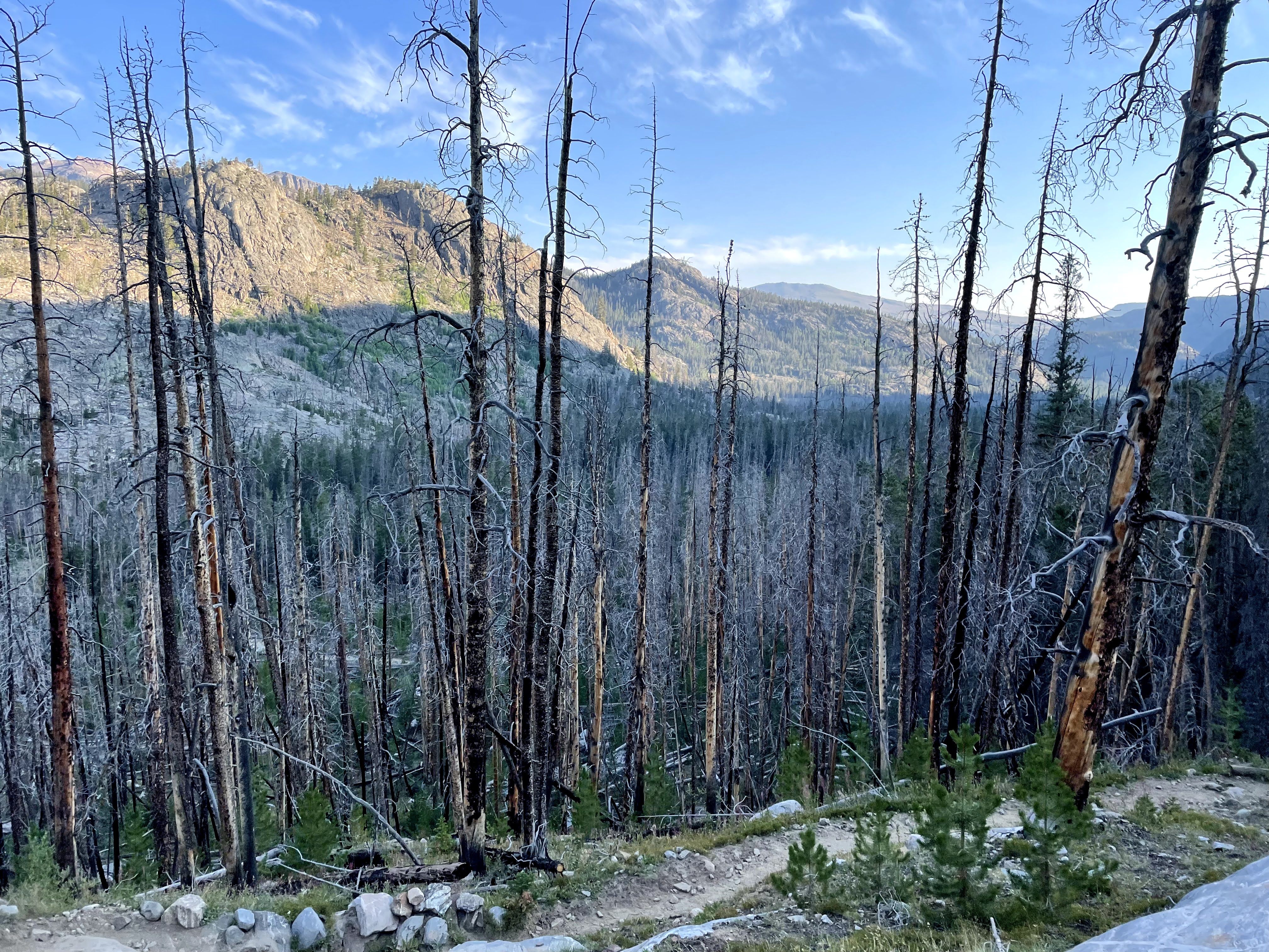
Going off Whiskey Mountain the trail was quite steep for a brief section and we were glad for the switchbacks. Then we crossed Wasson Creek in the valley and began on the Simpson Lake Trail. By now the sun was beating down on us, the guys were feeling the weight of their packs, and none of us were used to hiking all day. The minutes seemed to drag on despite the incredibly sweet pine scent emanating from the warm forest. We made a plan to have second lunch at Soapstone Lake but before we got there, near 3 pm, I declared it was time to stop so we did. I began wondering if we were going to make our “A goal” of Pinto Lake as it was already getting so late. And if we didn’t make our A goal, it put the spur up Gannett in jeopardy. Why was this day so hard? Oh yeah, a vertical mile day. That’s why. I dread the vertical mile days yet here I was again, embarking on a stupidly hard route.
The trail skirts Soapstone Lake and it was barely visible through the trees. Given we had just had our lunch stop, we elected to forego seeing the lake and instead kept on the trail. There were a number of well established camp sites near the lake, and so this would make an excellent first night stop for those who don’t like to rack up the mileage. As we continued on the trail, the smell of blueberries was like opening up a package of dried fruit. I think there’s something about the heat, that similar to the pine smell, brings out the scents.
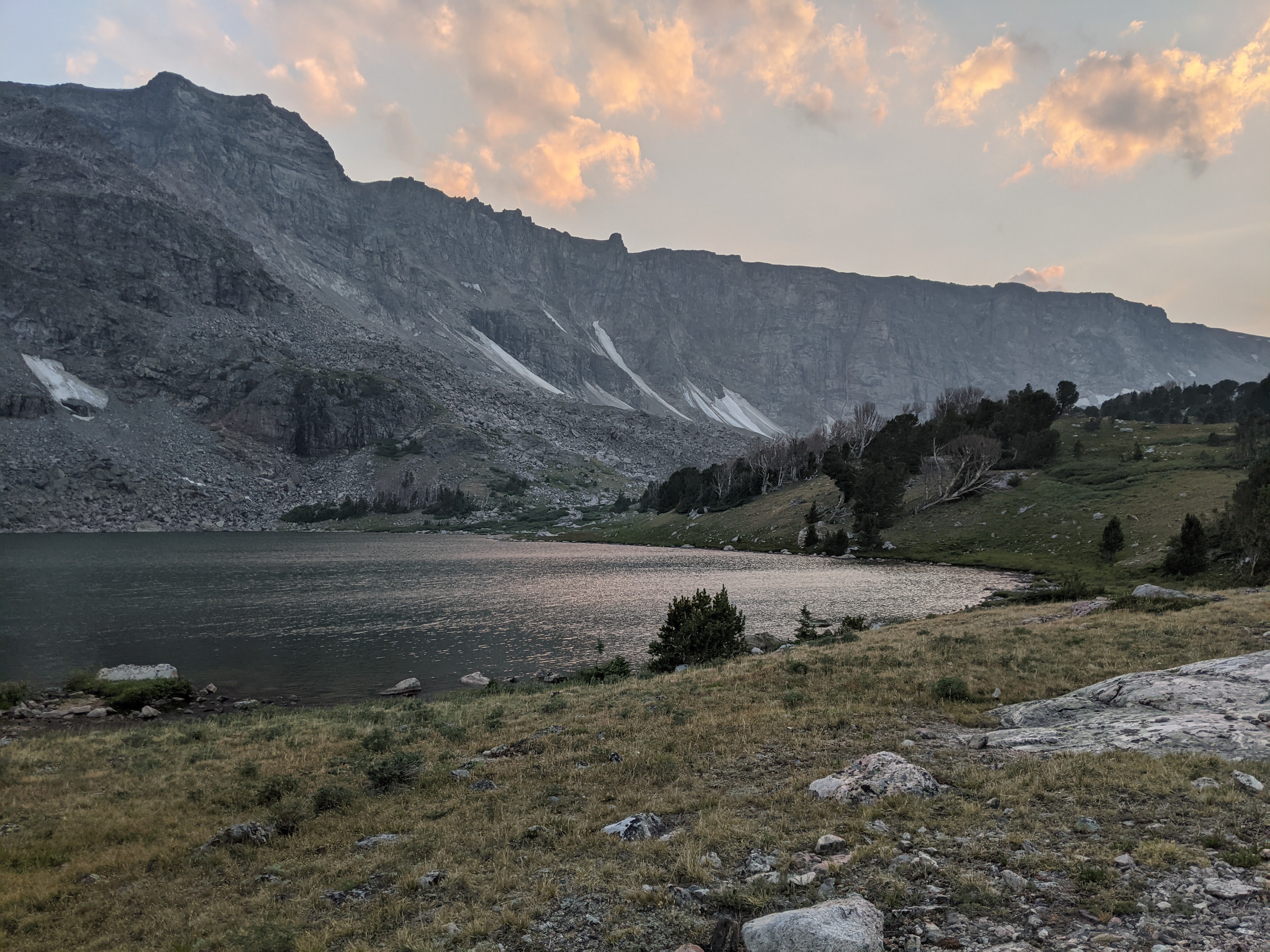
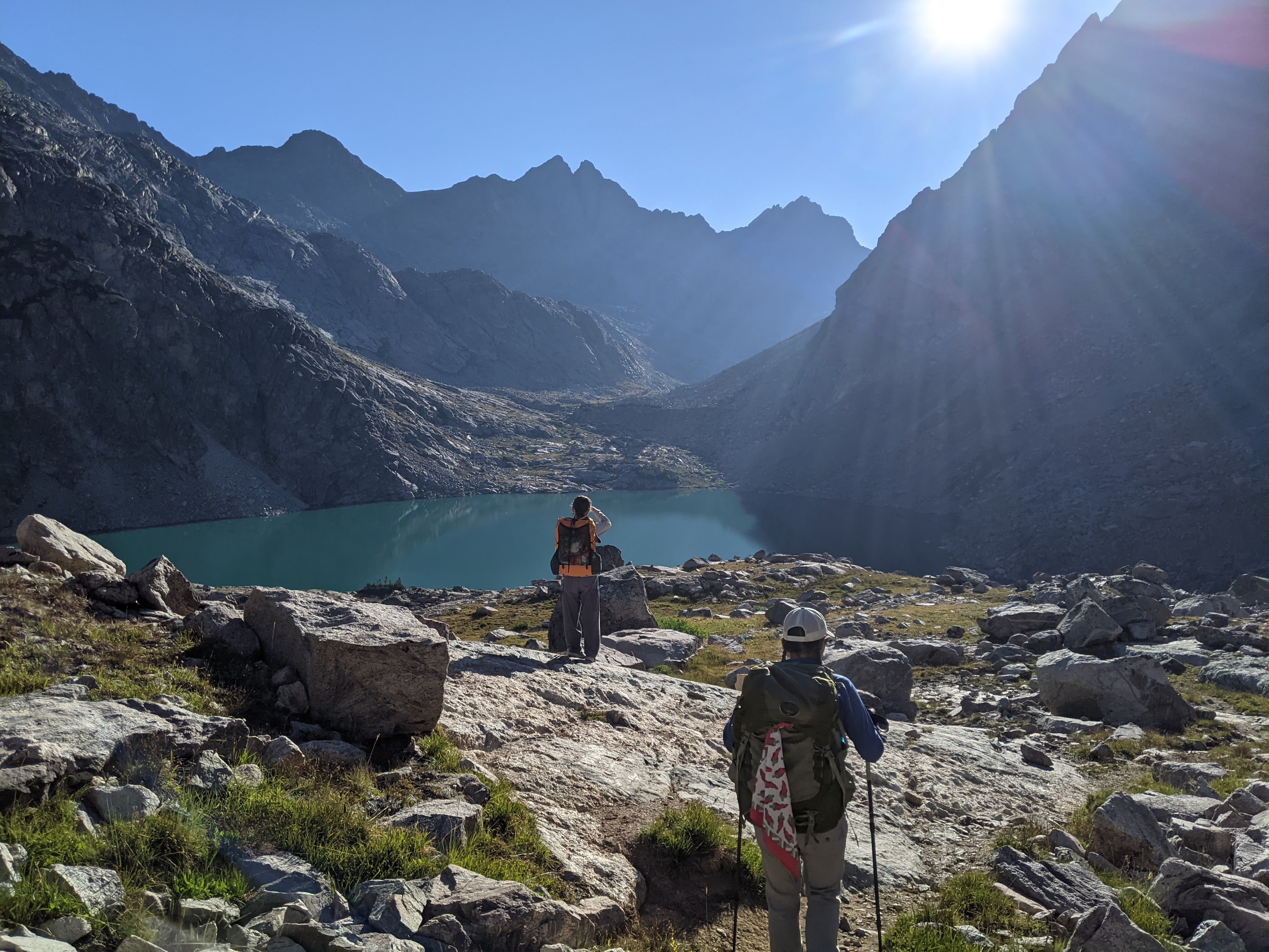
From Soapstone Lake we progressed rather quickly to Simpson Lake before 5 pm. I had conceded to camp here but Eva declared we continue on to Pinto Lake, and thus climb another 600 feet before dinner. We made it to Pinto Lake right at 6 pm. Definitely not a super hard day, but a longer day than I had imagined.
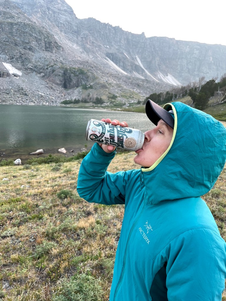
Pinto Lake bridged tree line. The trees here were rather stubby and we found some campsites adjacent to tree clumps rather than under the trees. After a dinner of angel hair pasta with marinara sauce, Craig was down by the lake when he happened to find a can of beer someone had stashed. Interestingly enough, it turned out to be Eva’s dad’s favorite beer, Pilsner Urquell from the Czech Republic. Go figure.

I stayed out by the lake after everyone else had retired to their tents. Above tree line the expanse is so vast and it’s easy to feel all alone, especially as the sun sets. It was nice having Craig and Eva with us for some company, but even with the four of us it was still a lonely existence.
That night the wind kept coming up and dying down again and none of us slept very well.
Day Two (8/9/21): Pinto Lake to Upper Green Lake
We awoke just after daybreak, broke camp, and ate breakfast. It was a bit chilly, but Erik’s fancy Garmin watch said it was only 45 degrees- fairly warm for being camped above 10,000 feet.
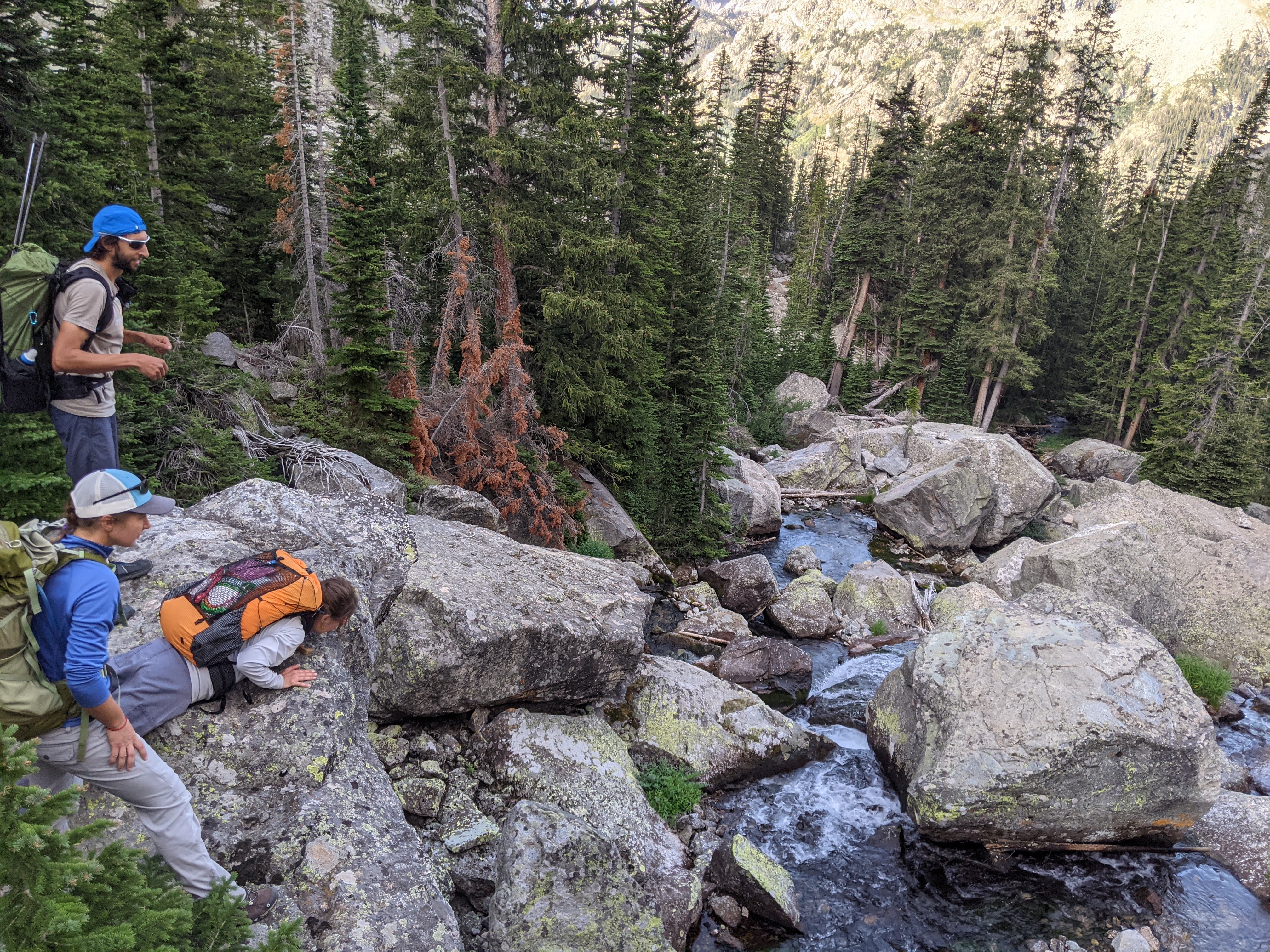
Our map showed a maintained trail up to the un-named pass on the Continental Divide at 10,960 feet. We started hiking directly south of our campsite on the southeast side of Pinto Lake towards the pass but soon lost the trail. Eventually Erik saw the trail on the east side of the creek (it was marked on the west side on our paper map) and once we got on the trail it was very good up and over the pass.

Using google satellite, I had chosen a route down from the pass through the forest towards Alexander Park and the Roaring Fork Trail that diverged from the creek bed. This proved remarkably easy for off-trail hiking. Yes, it was steep, but there were fairly few blow-downs in the forest and no boulder fields until just before we got to the creek. Occasionally we even found some short “trail” fragments.

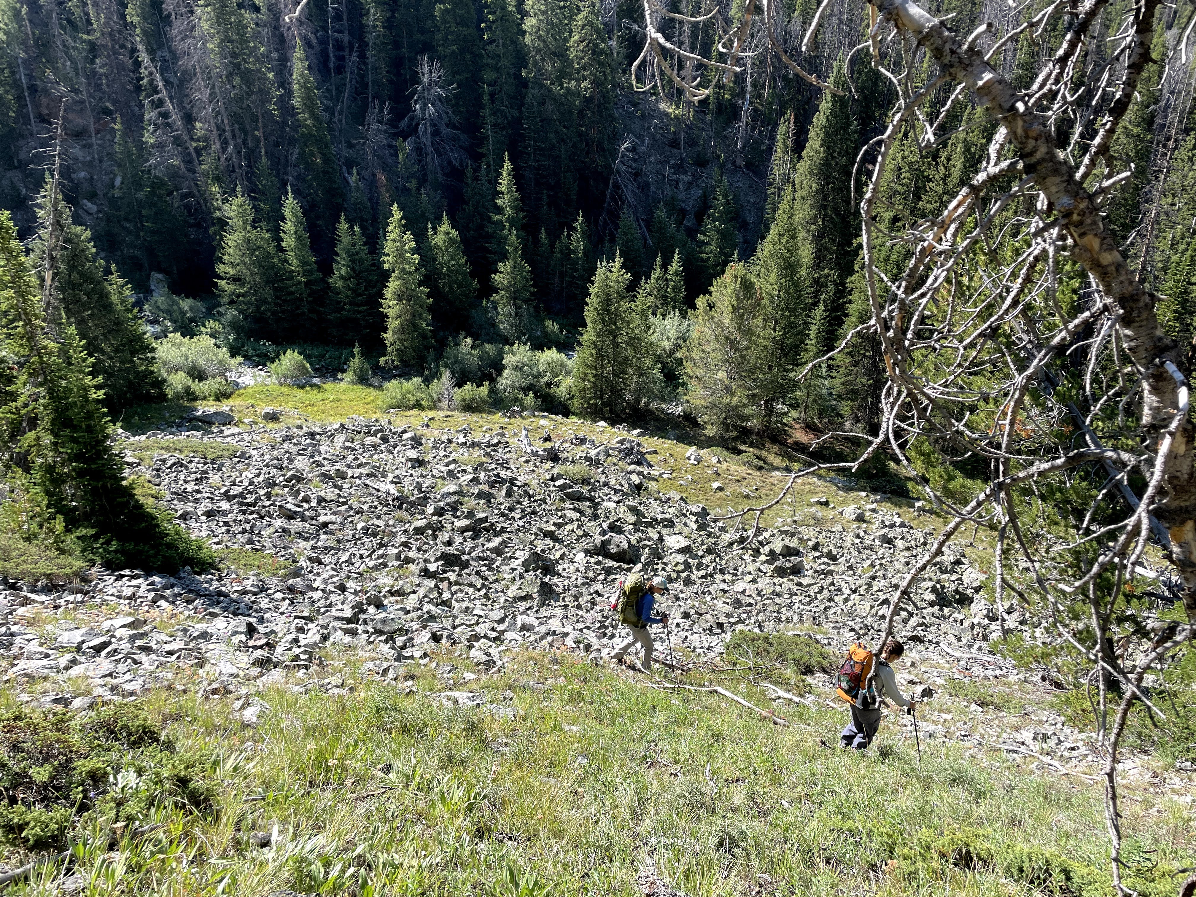
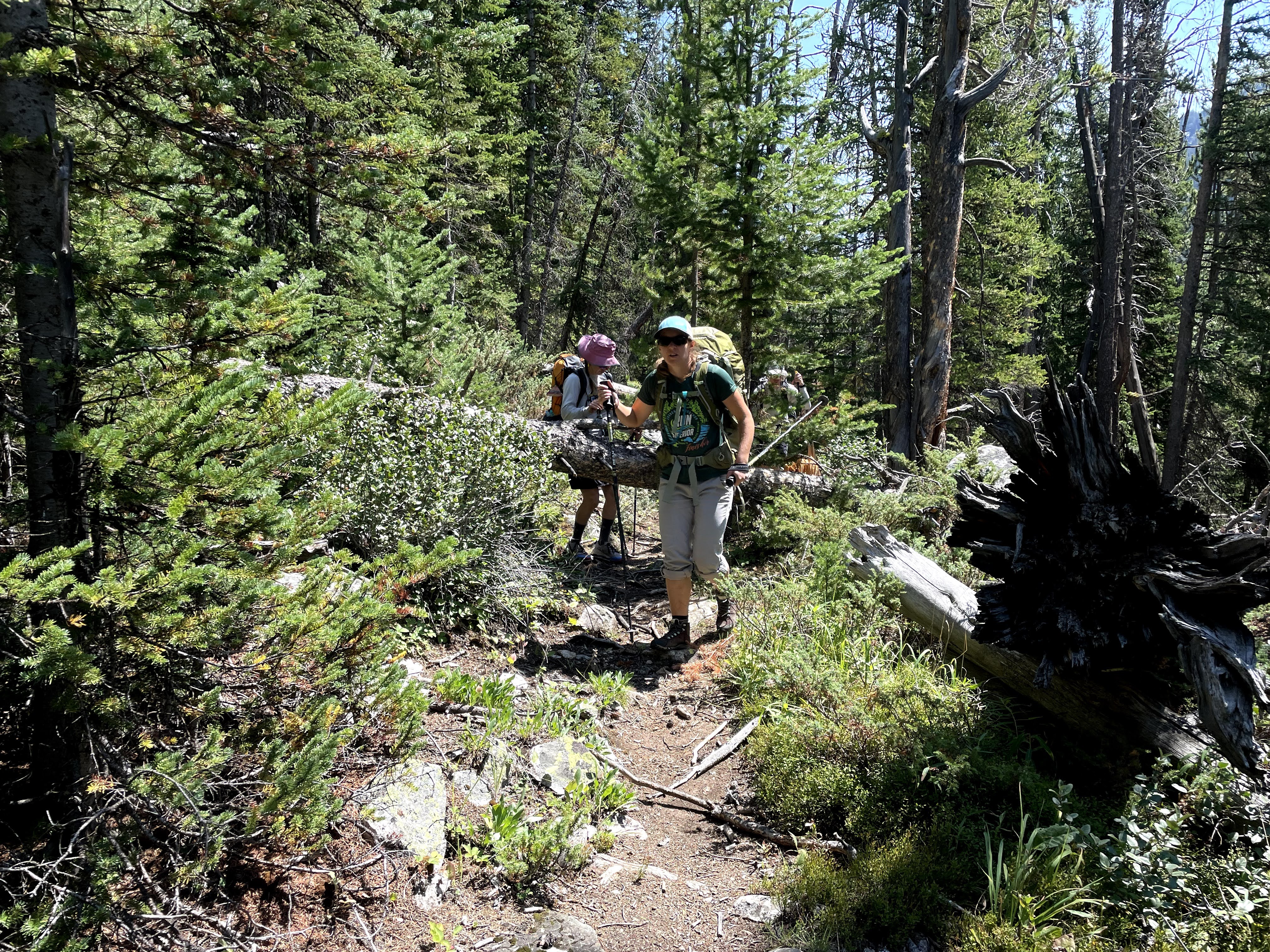
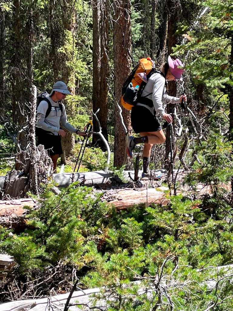
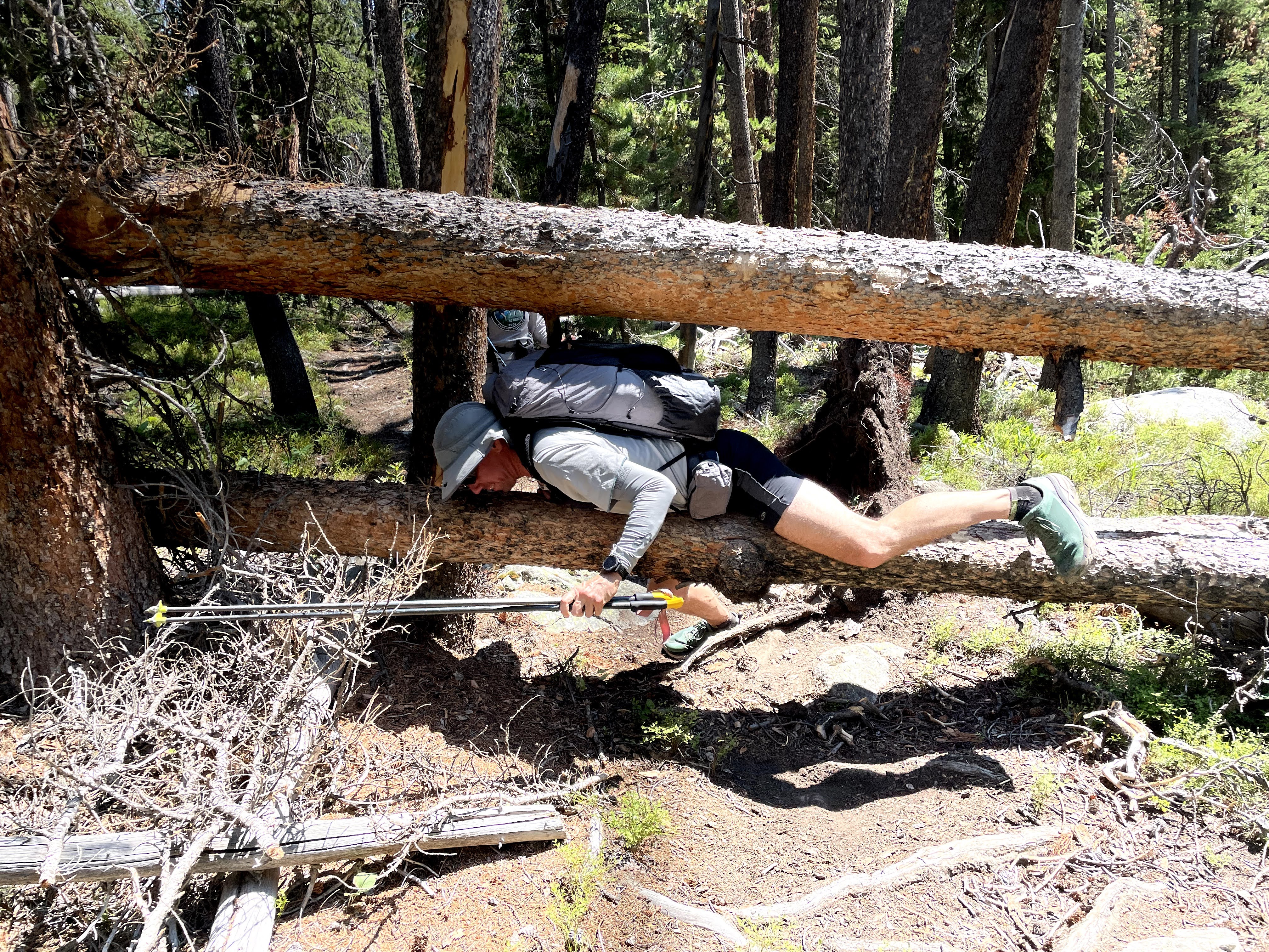
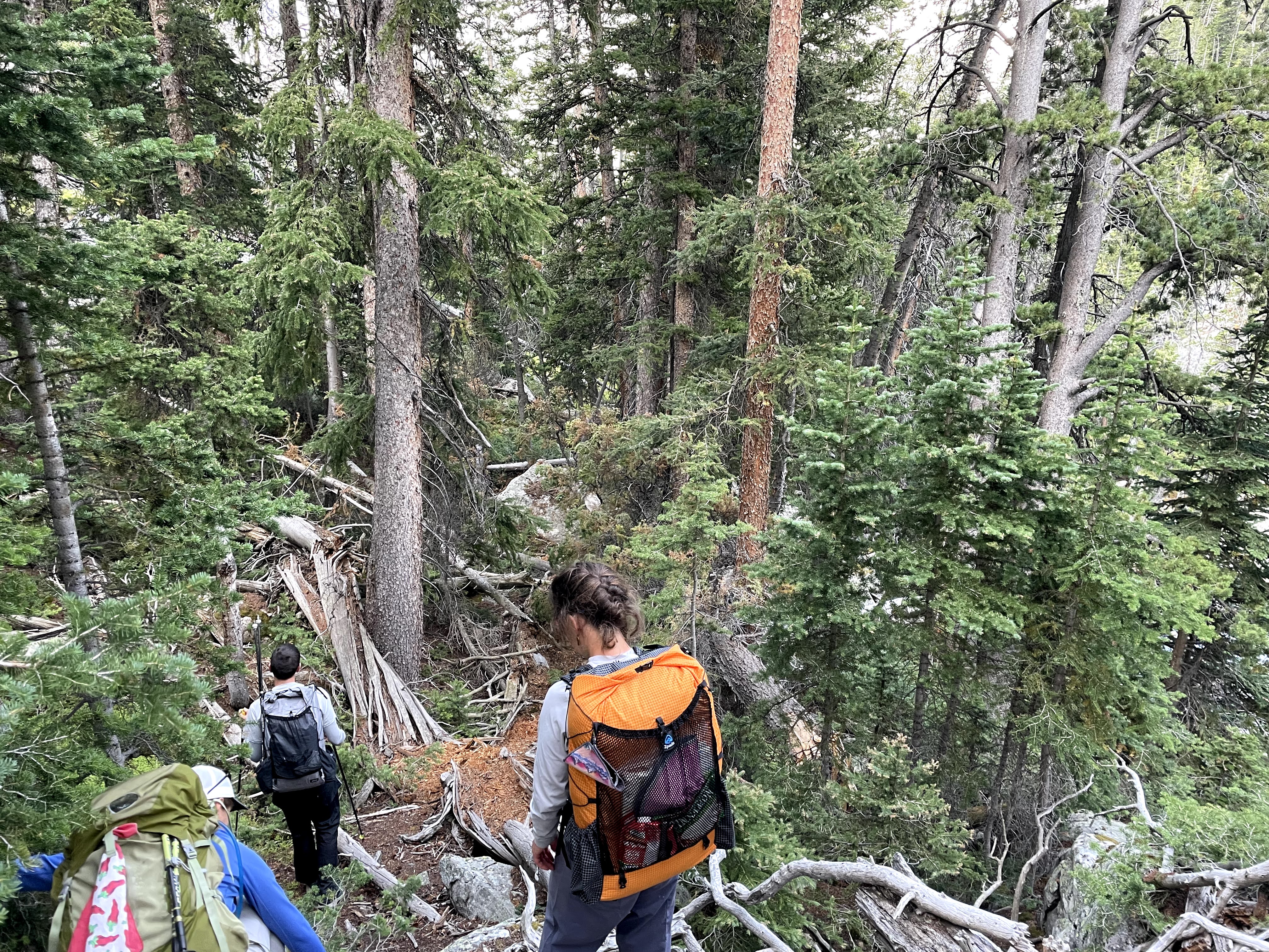
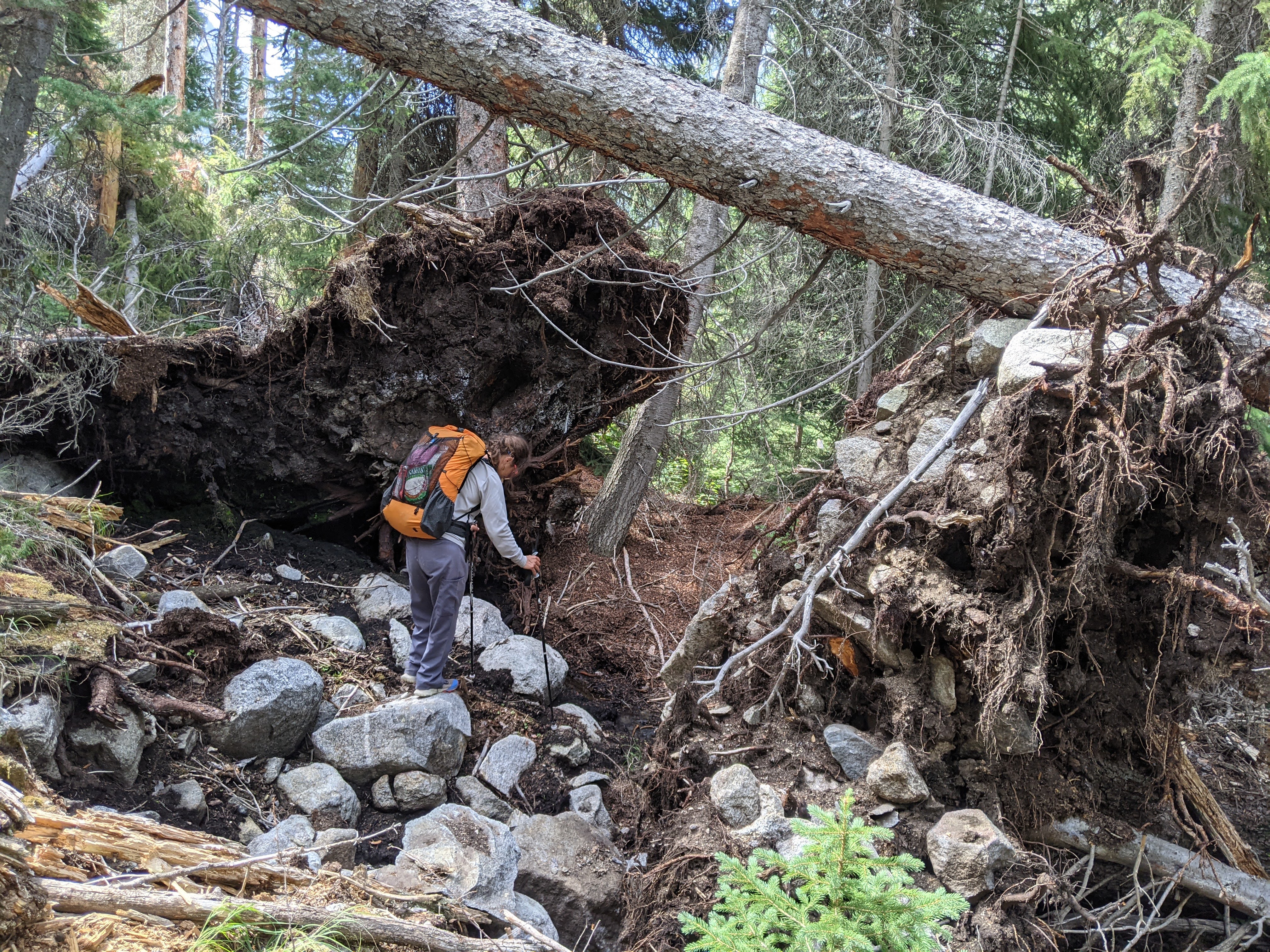
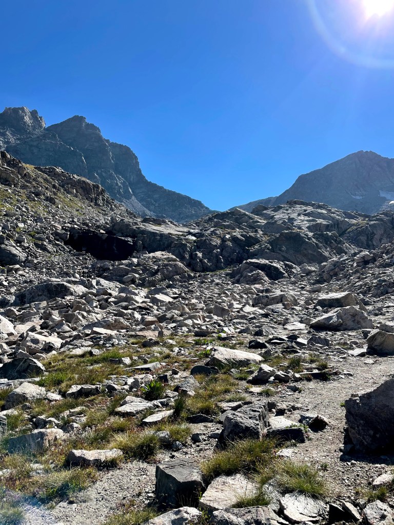
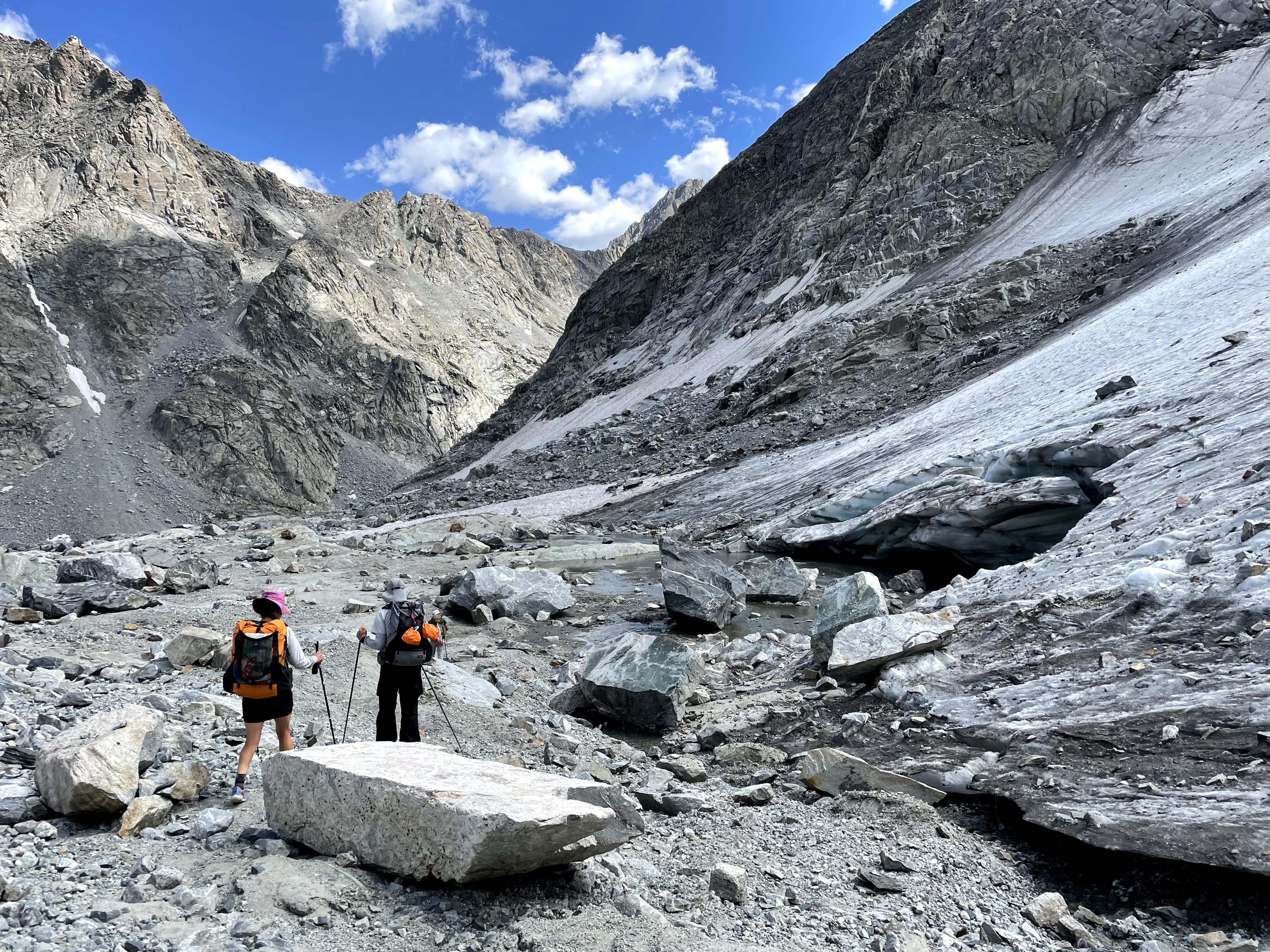
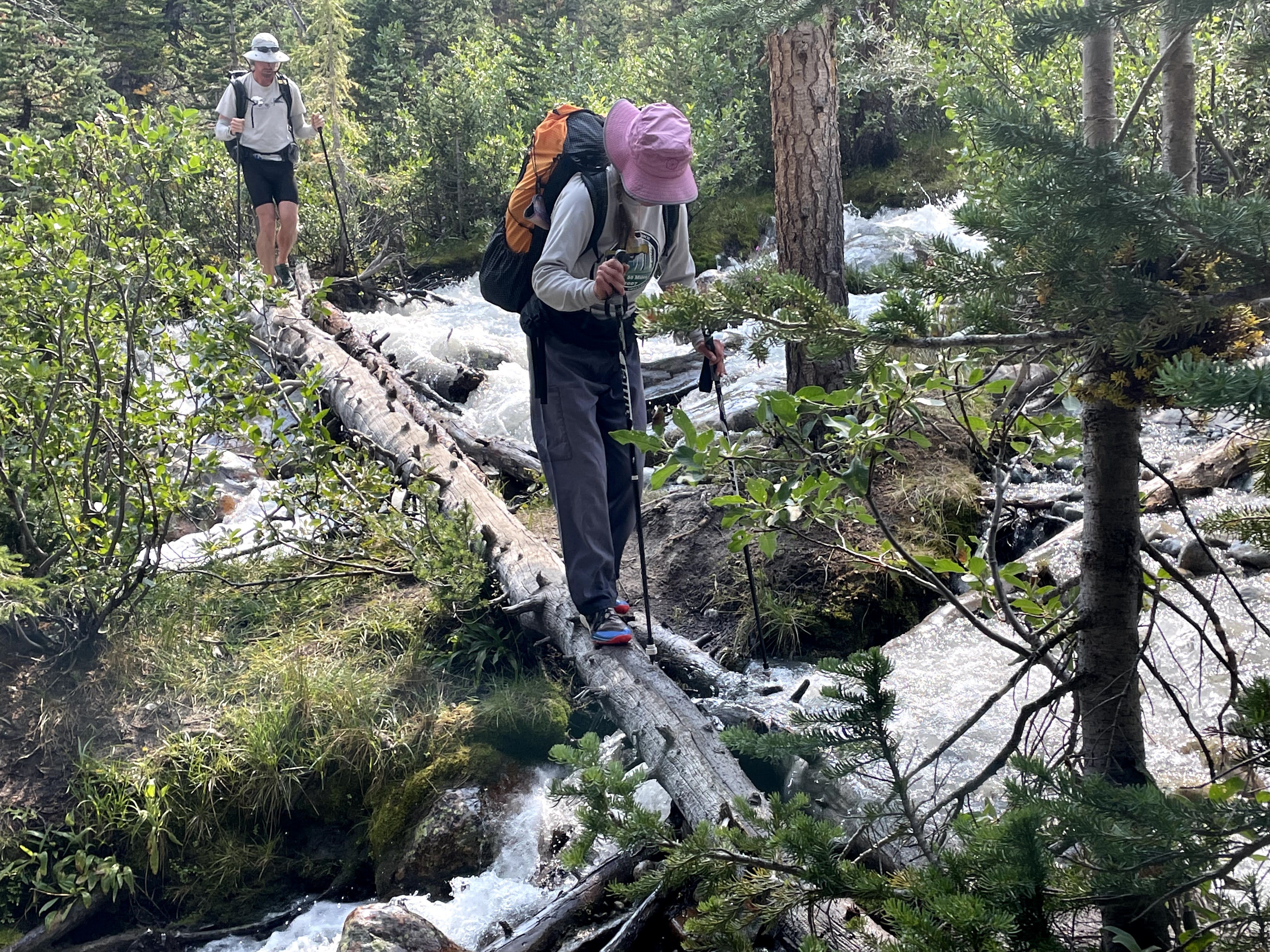
Once down at Alexander Park we scouted for the nonmaintained Roaring Fork Trail. We got onto this just after it crossed the creek but we quickly lost it again amidst huge piles of blowdowns that became the theme for the next couple hours. We stayed on the north side of the creek even though our map showed the trail crossed to the south side and then just when we came out onto our first boulderfield, the trail picked up again. The trail was really nice through the boulderfield but once back in the trees there were a ton of blowdowns. It was a couple long miles frequently detouring blowdowns until we go to the CDT/Highline.

We presumed that once on the CDT/Highline it would be like a paved path, but no such luck. Instead we picked our way through a mile of blowdowns. In this stretch we saw a few north-bound CDT thru-hikers and just after we got through the blowdowns a woman wearing a hiking skirt said “Oh, and I was just having an elaborate fantasy that someone had just finished chainsawing the last blowdown!” when we told her about the down trees ahead.
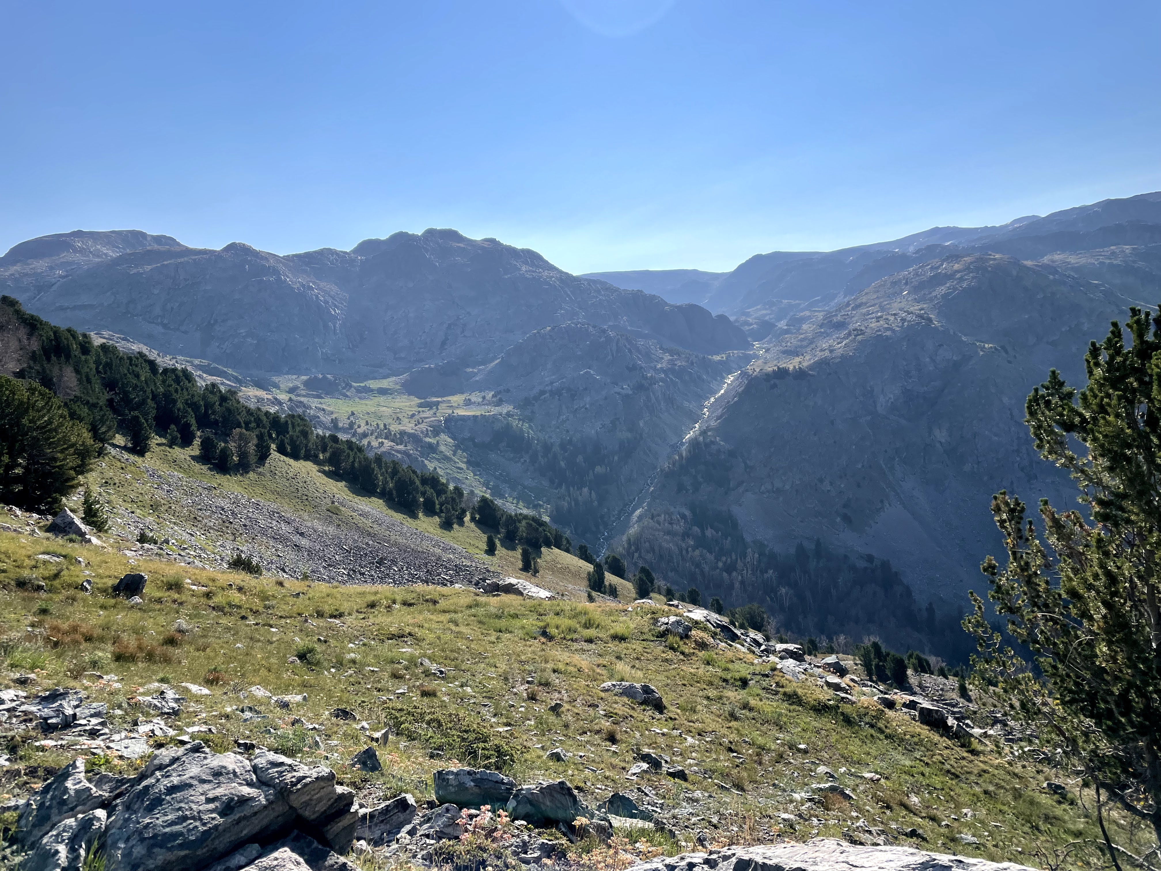
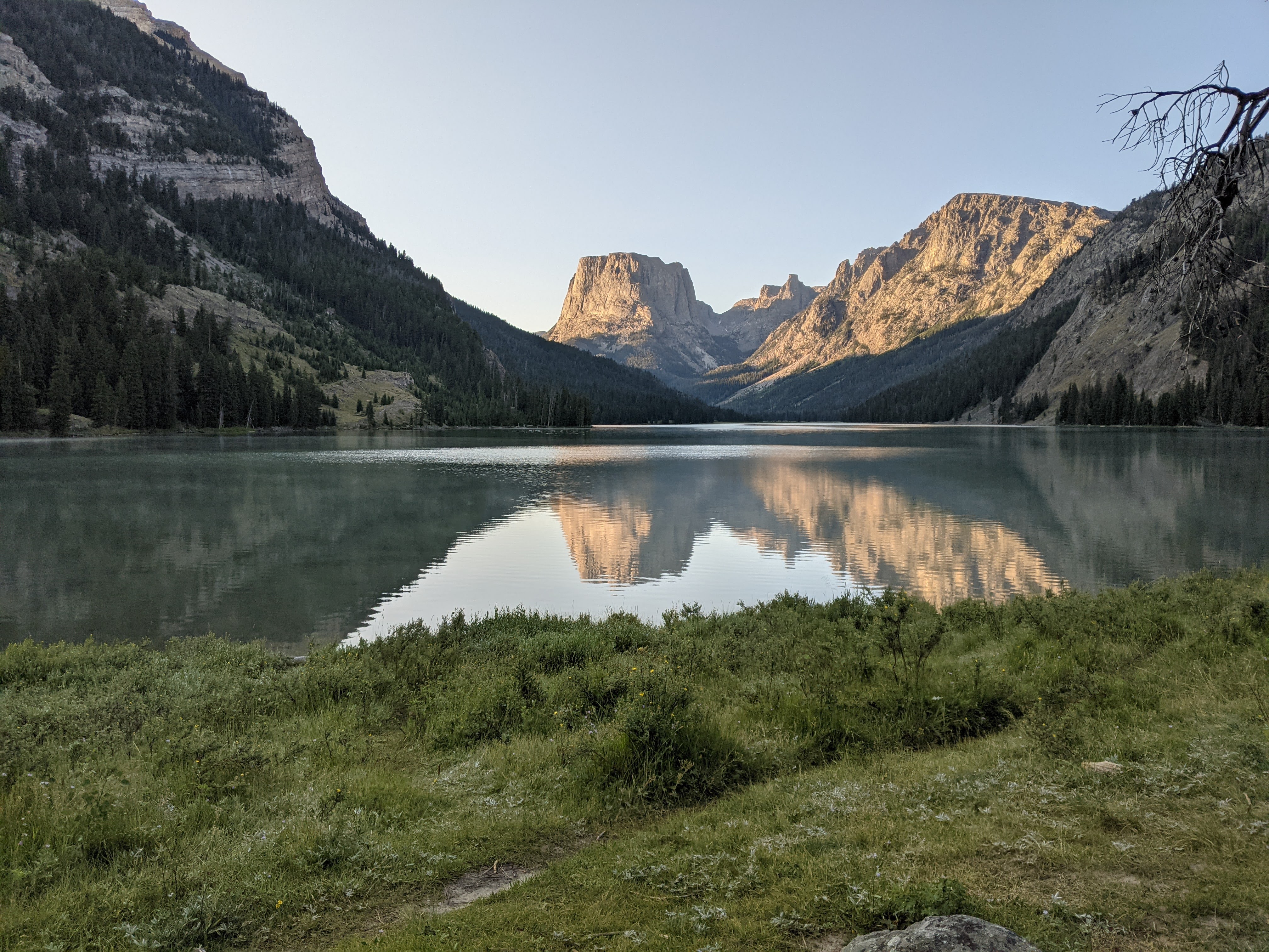
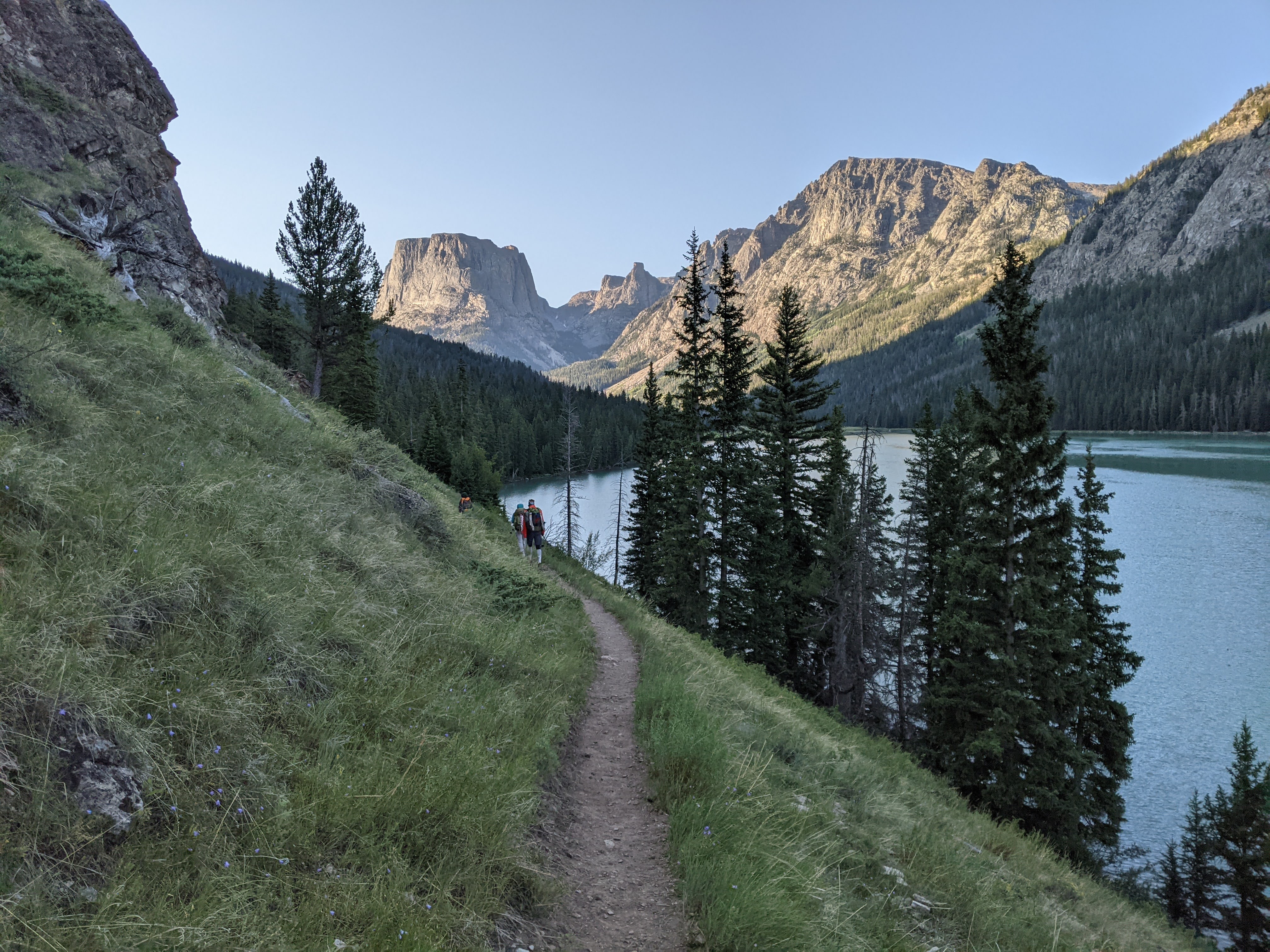
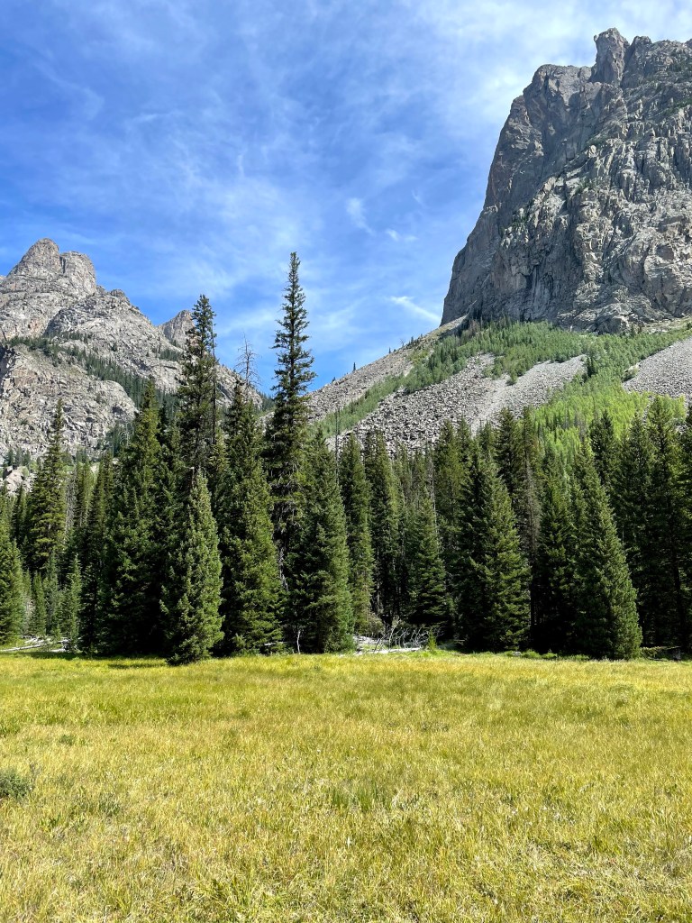
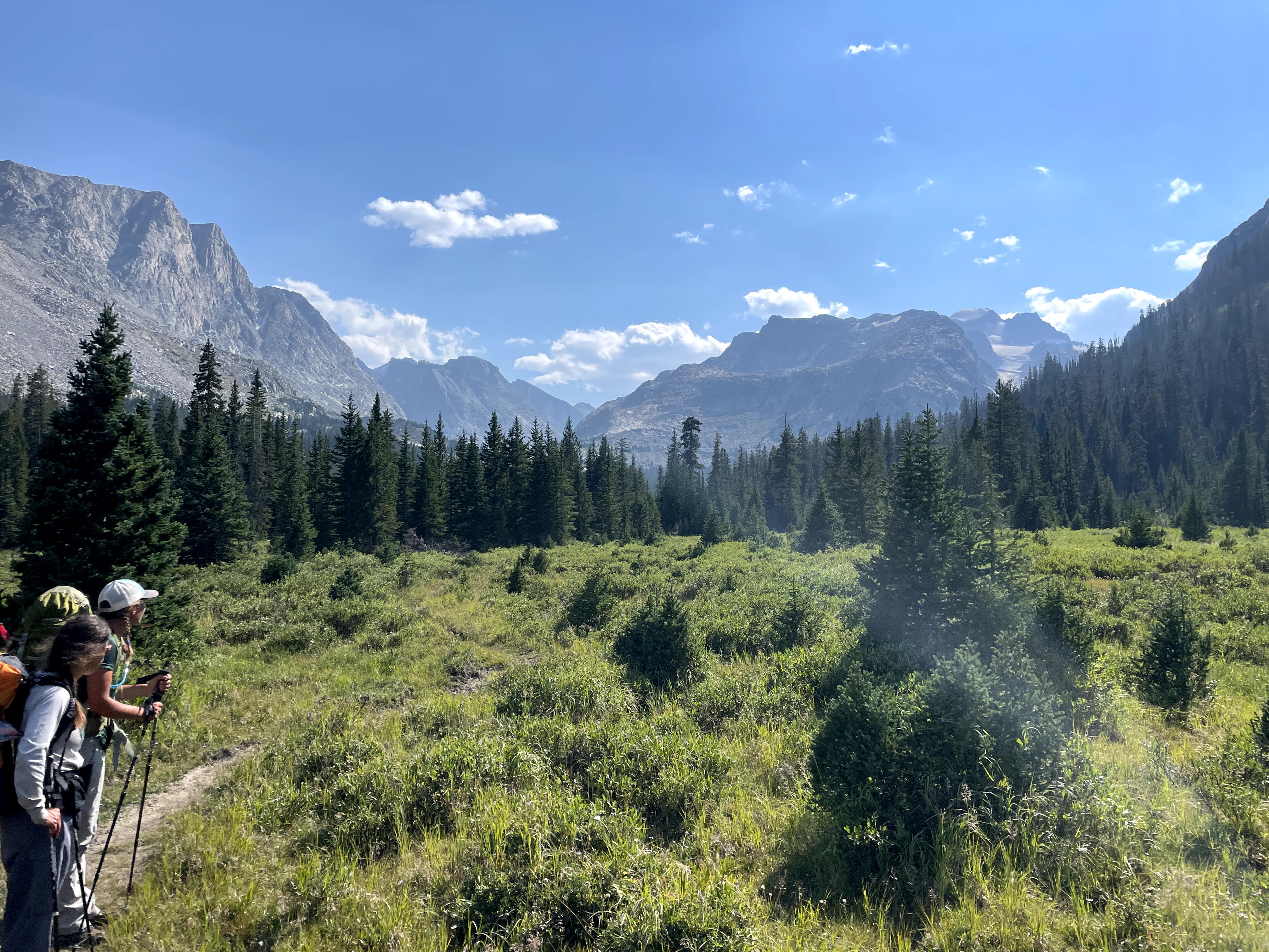
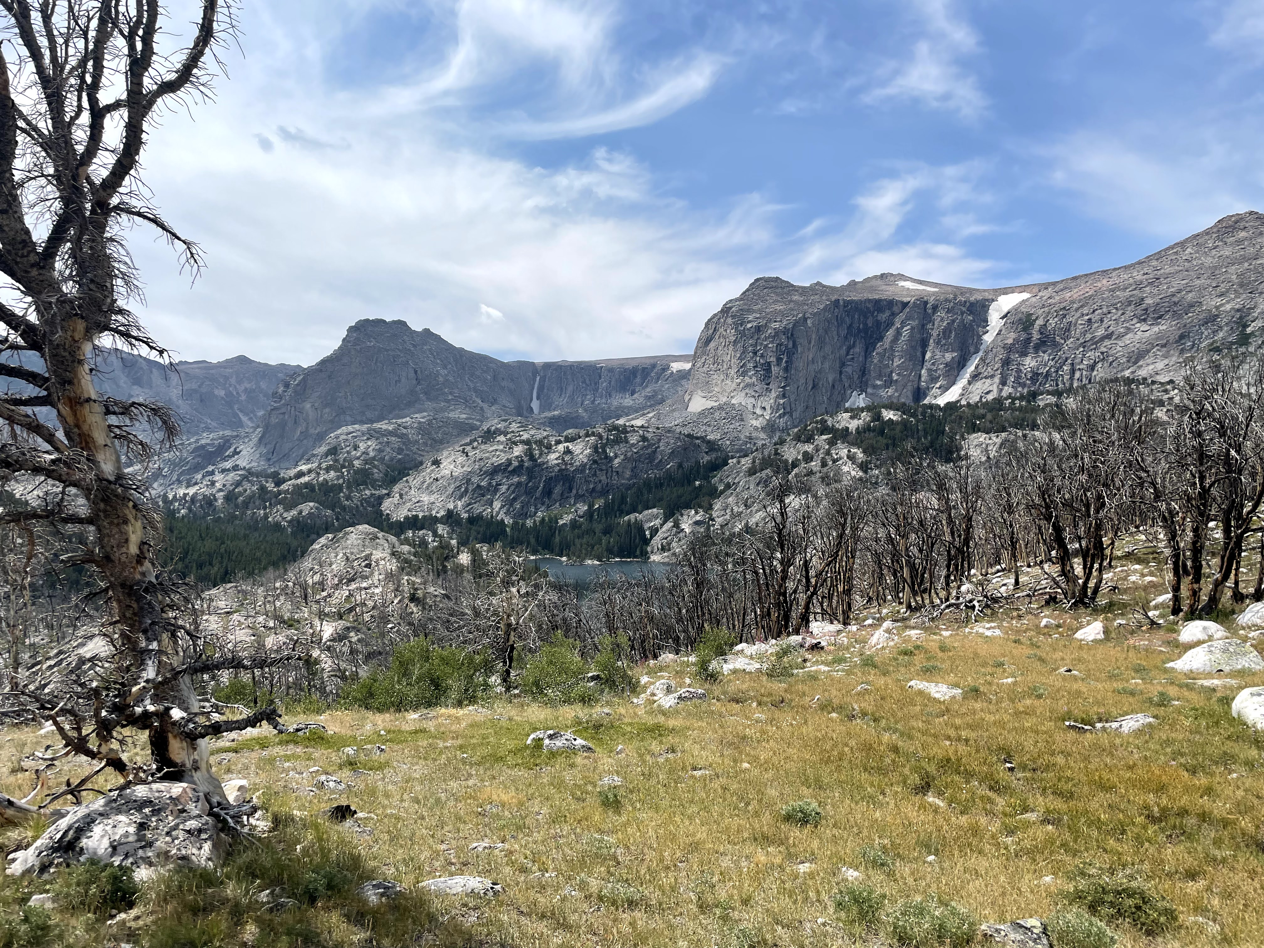
Finally we came out above tree line with an amazing view of the Green River and Squaretop Mountain to our south. I declared it the best view on the CDT. OK, perhaps this an exaggeration, but there just aren’t many glacial streams on the CDT.
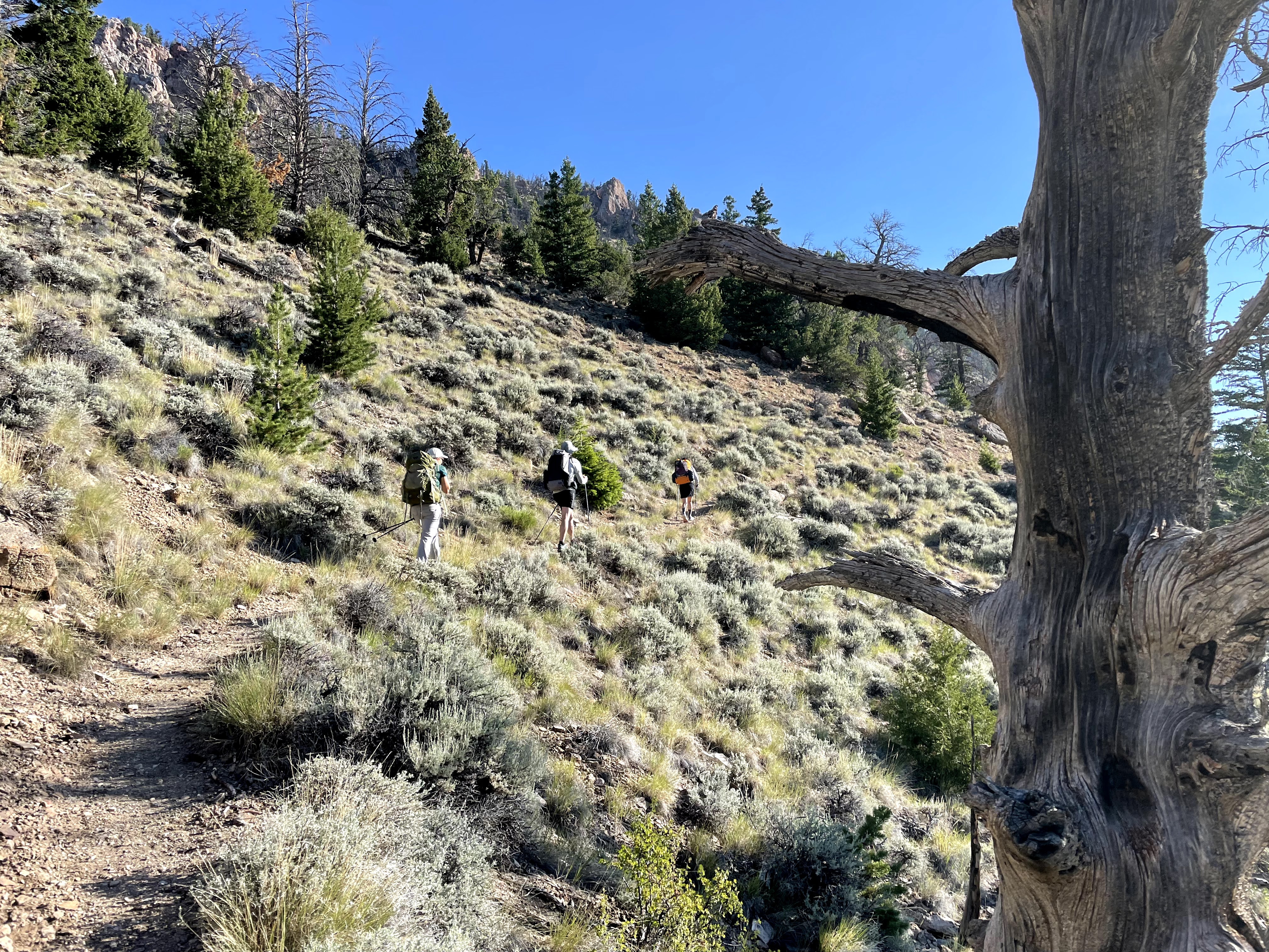
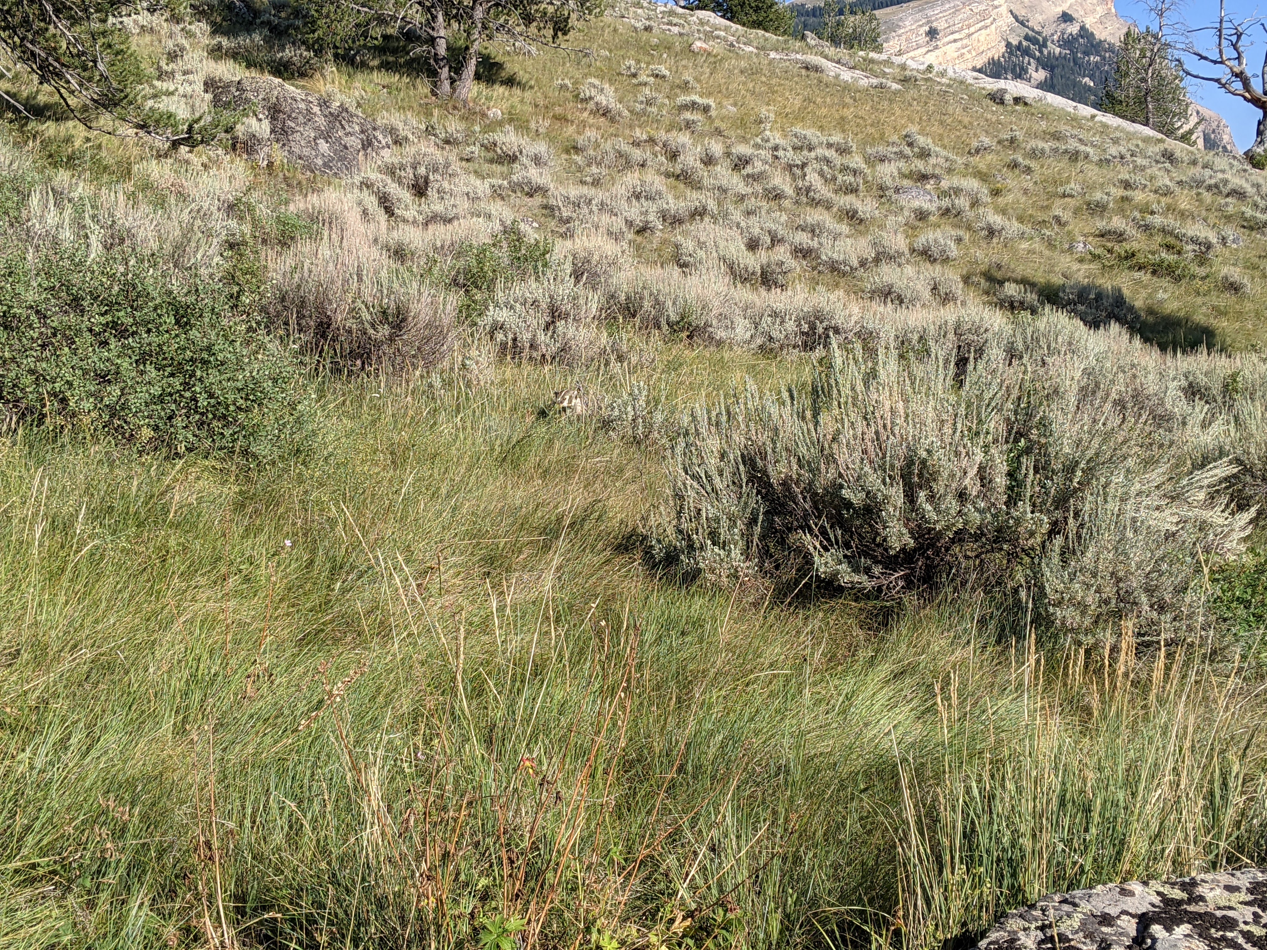
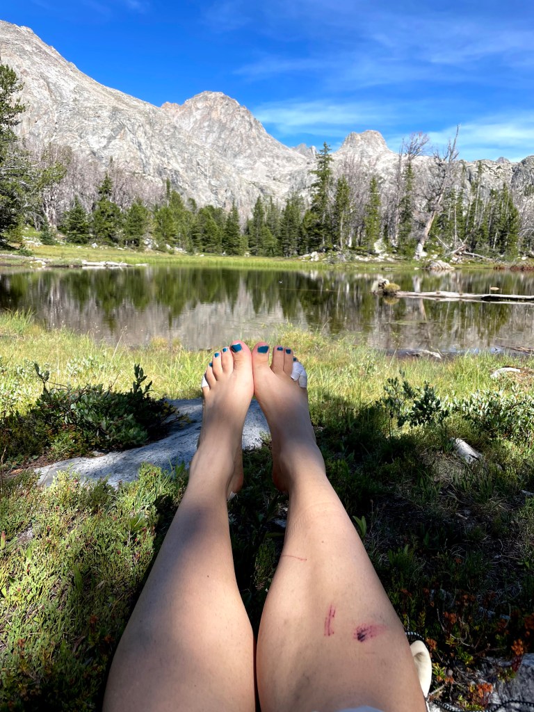
Our goal for the day was to make it to the Upper Green River Lake but as the hours wore on, it became clear it would be another long day. We could see so far towards the Lower Green River Lake and it just never seemed to get any closer. I got frustrated hiking through sagebrush and other prickly plants growing right next to the trail and scratching up my bare legs. I always joke about my definition of a hiking trail- something that might be found at a Minnesota State Park.
Finally we reached the Lower Green River Lake. Erik and I got in the Green River to cool off and do a bit of washing. Then we continued on along the east side of the lake. The views were amazing looking towards Squaretop, but our feet and legs weren’t in hiking shape for these 8 plus hour days.
We found a campsite with some blowdowns on the north side of the Upper Green Lake. We thought the point would be fairly well developed owing to the close proximity to the Green River Lakes trailhead, but apparently not. Despite the low elevation and being in the woods there were no mosquitoes to be found. I guess they were all up at higher altitude.

The plan for the next day had us hiking farther up the CDT/Highline along the Green River until Tourist Creek when we would start our Gannett bid. Having arrived to camp at 6 pm two days in a row now, it seemed like maybe Gannett wasn’t going to happen this trip. We would make a decision in the morning about whether to head up Tourist Creek.
Day Three (8/10/21): Upper Green River Lake to Tourist Creek and up Tourist Creek
The morning dawned cold. We began hiking in our down jackets and hats. Erik and I almost never hike in our down jackets. This is partly because I don’t like my dirty shirt, aka adventure shirt, touching my down jacket. I guess I got over it and thoroughly enjoyed the warmth of my down jacket with the temps in the 30s.
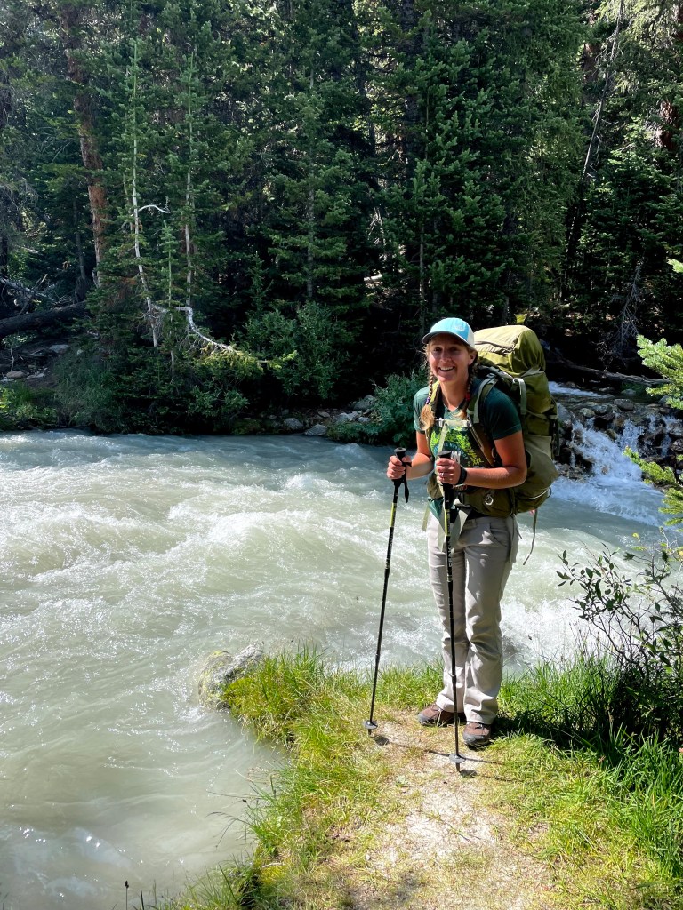
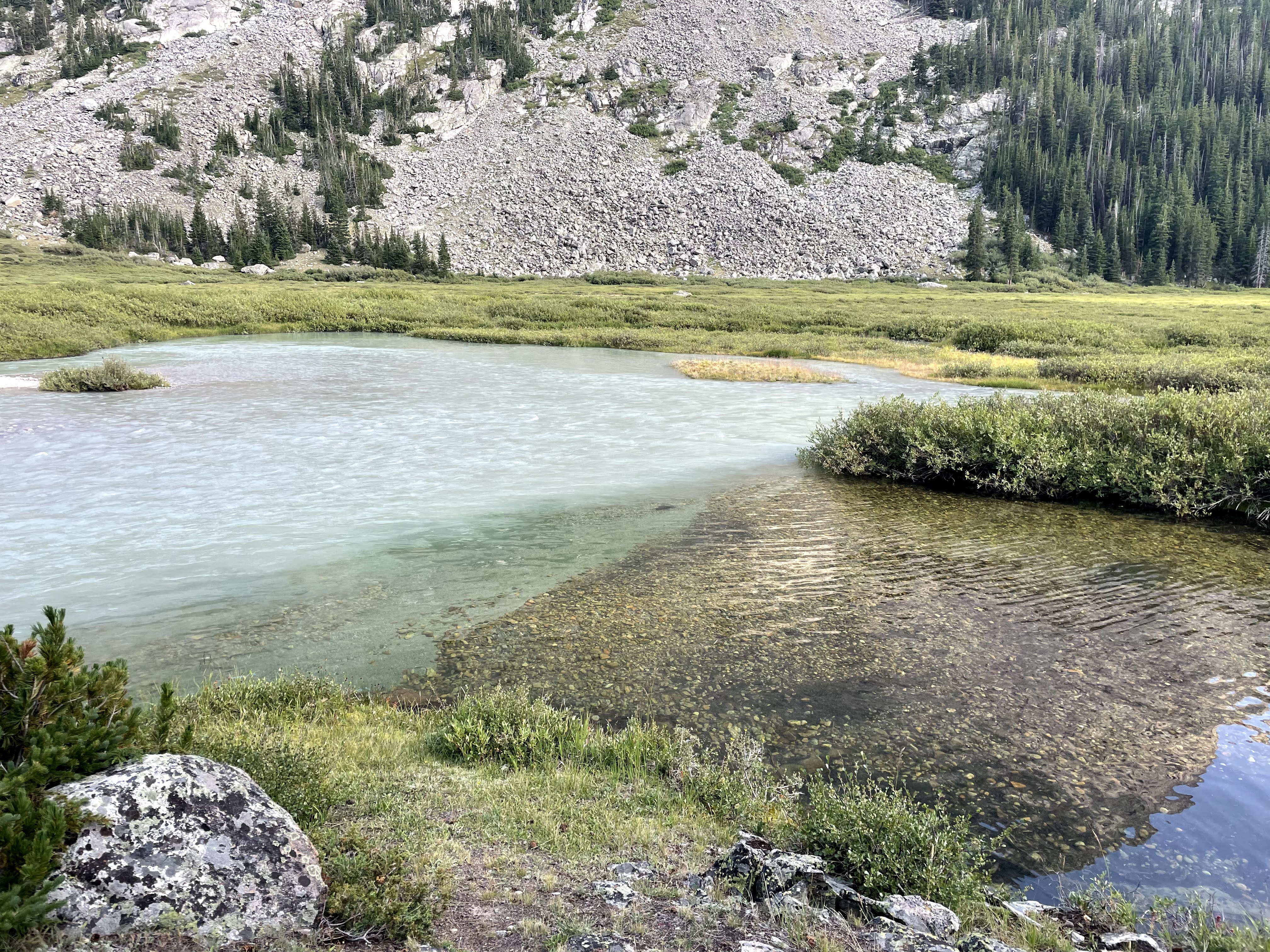
I loved hiking next to the aptly named Green River. There’s something about the silt from glaciers coloring bodies of water that is so intriguing to me- perhaps because I didn’t grow up with them. I guess that’s one plus to not having been many places as a kid- I’m still in awe as an adult. Erik and I also decided we’d have to come back someday to packraft the Green River.
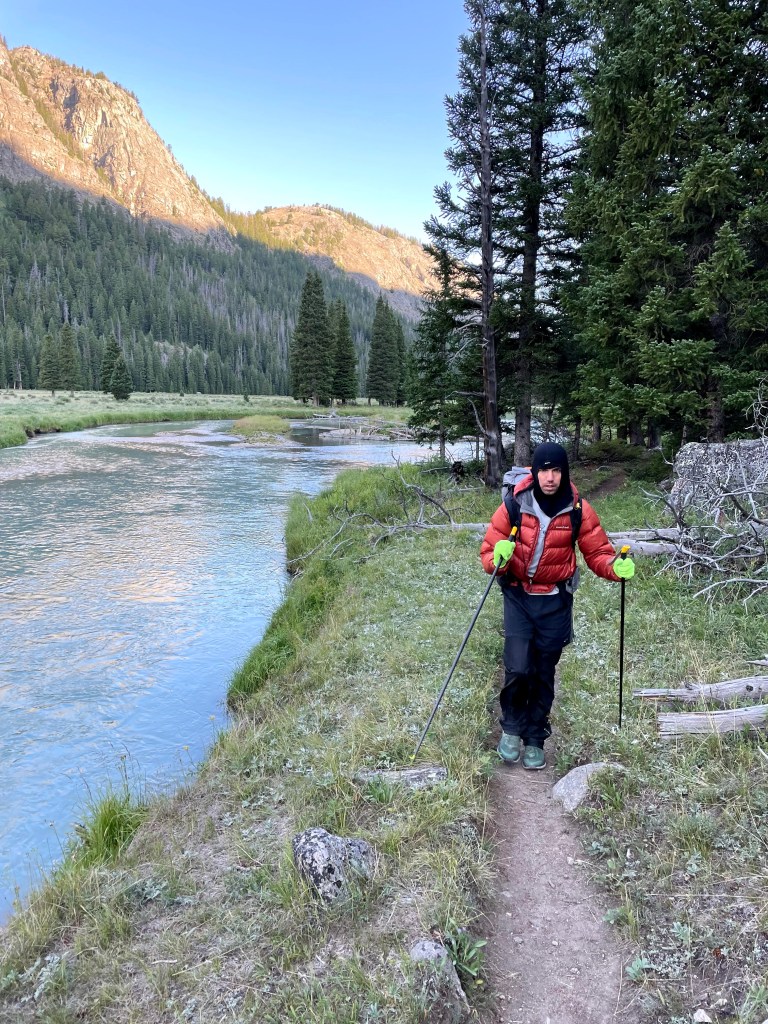
We kept up a relatively brisk pace, but despite this, by the time we got to the Elbow River we’d already been hiking for over two hours and so we stopped for first lunch. And we decided to go for Tourist Creek.
Tourist Creek and the Baby Route

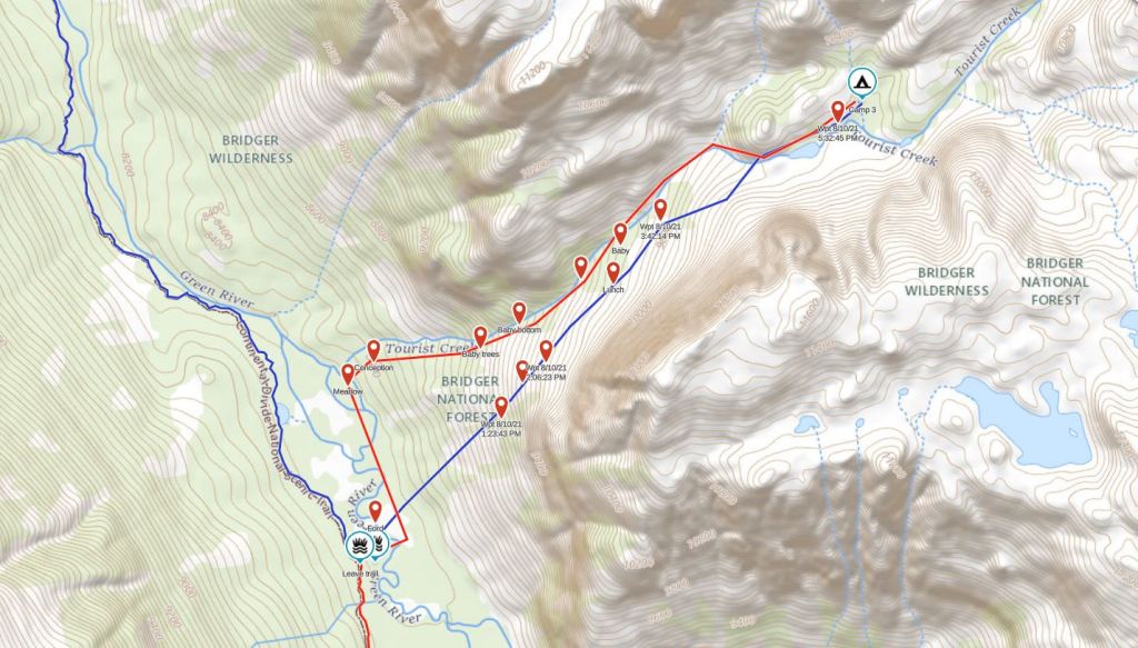
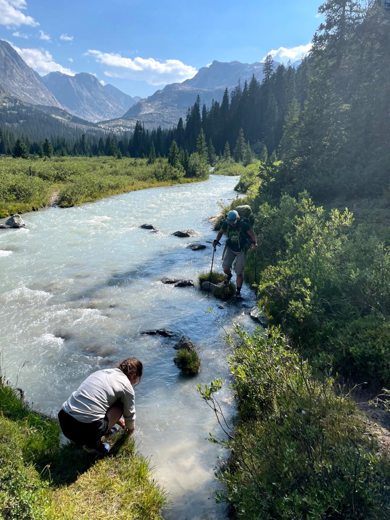
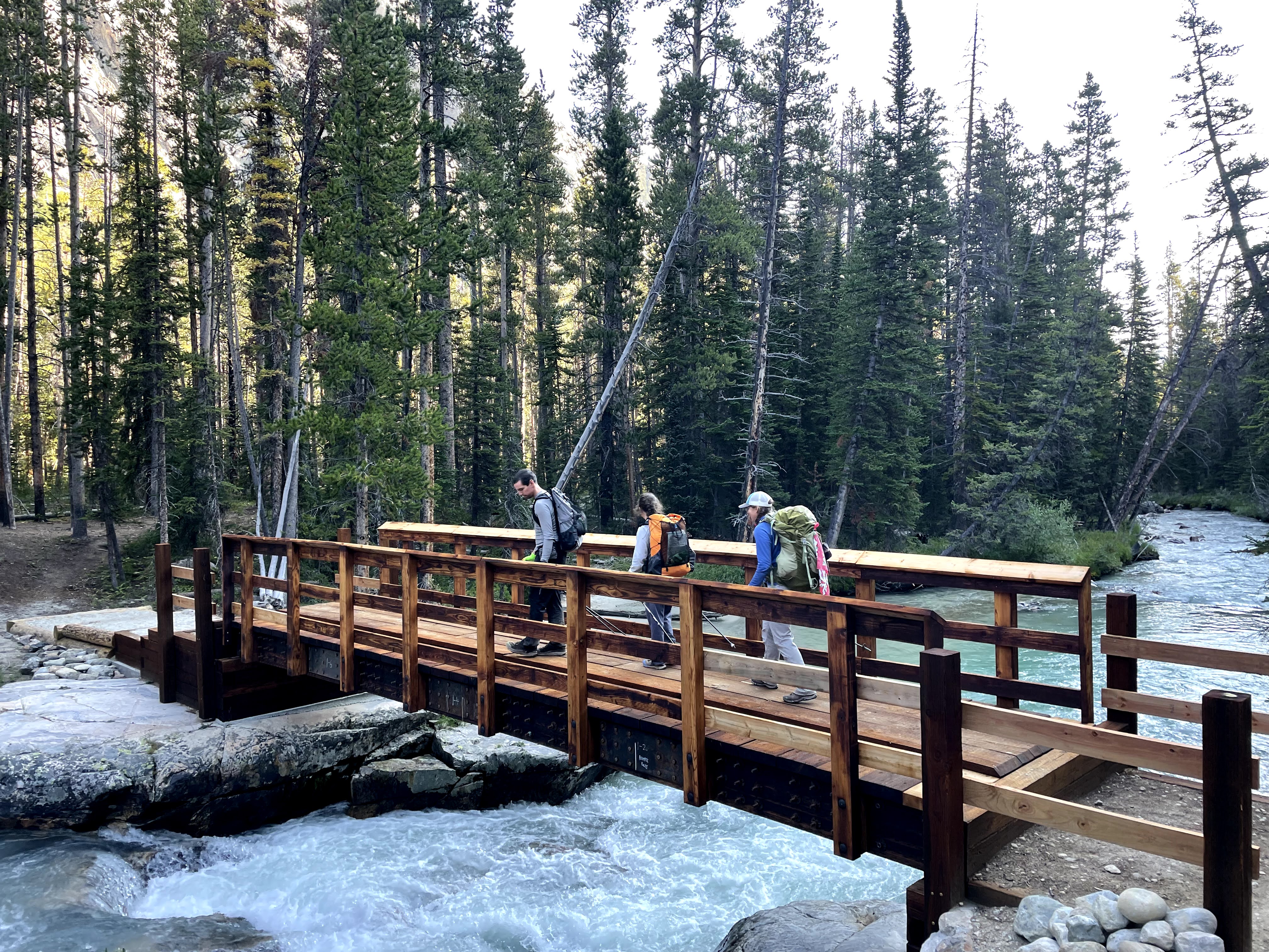
Despite trying to research the Tourist Creek route, I found relatively little info. We found where someone noted a good place to cross the Green River and another report that said in general it was better to go up the south side of Tourist Creek. The crossing was noted a decent ways up the Highline Trail, even past the Tourist Creek canyon, so as such, we crossed the Green River on the trail bridge and then proceeded on-trail until we got to the crossing spot.
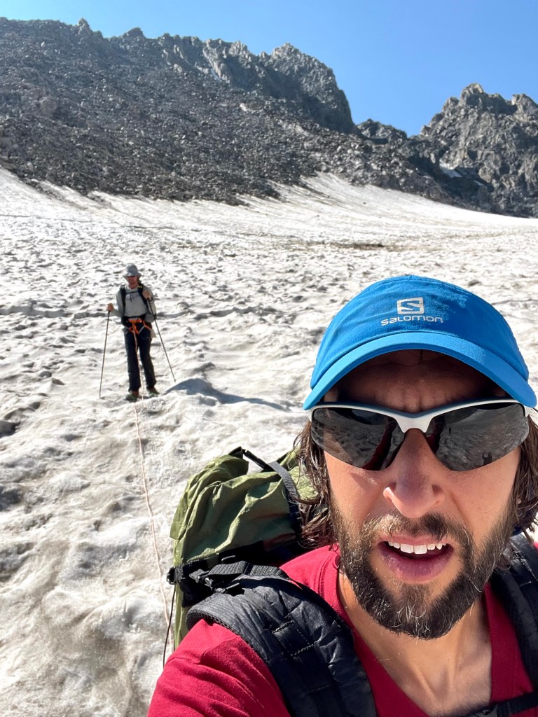
The depth of the Green River is incredibly deceiving due to the glacial silt which makes the water turbid. Thus we couldn’t even guess at the depth of the water. Naturally, we sent Craig across first with his long legs, and were somewhat amused that the water only came up a bit higher than his ankles! We all followed. When we got to the other side, we stashed one of our Ursacks since we were doing an out-and-back from here. Then we started up Tourist Creek.

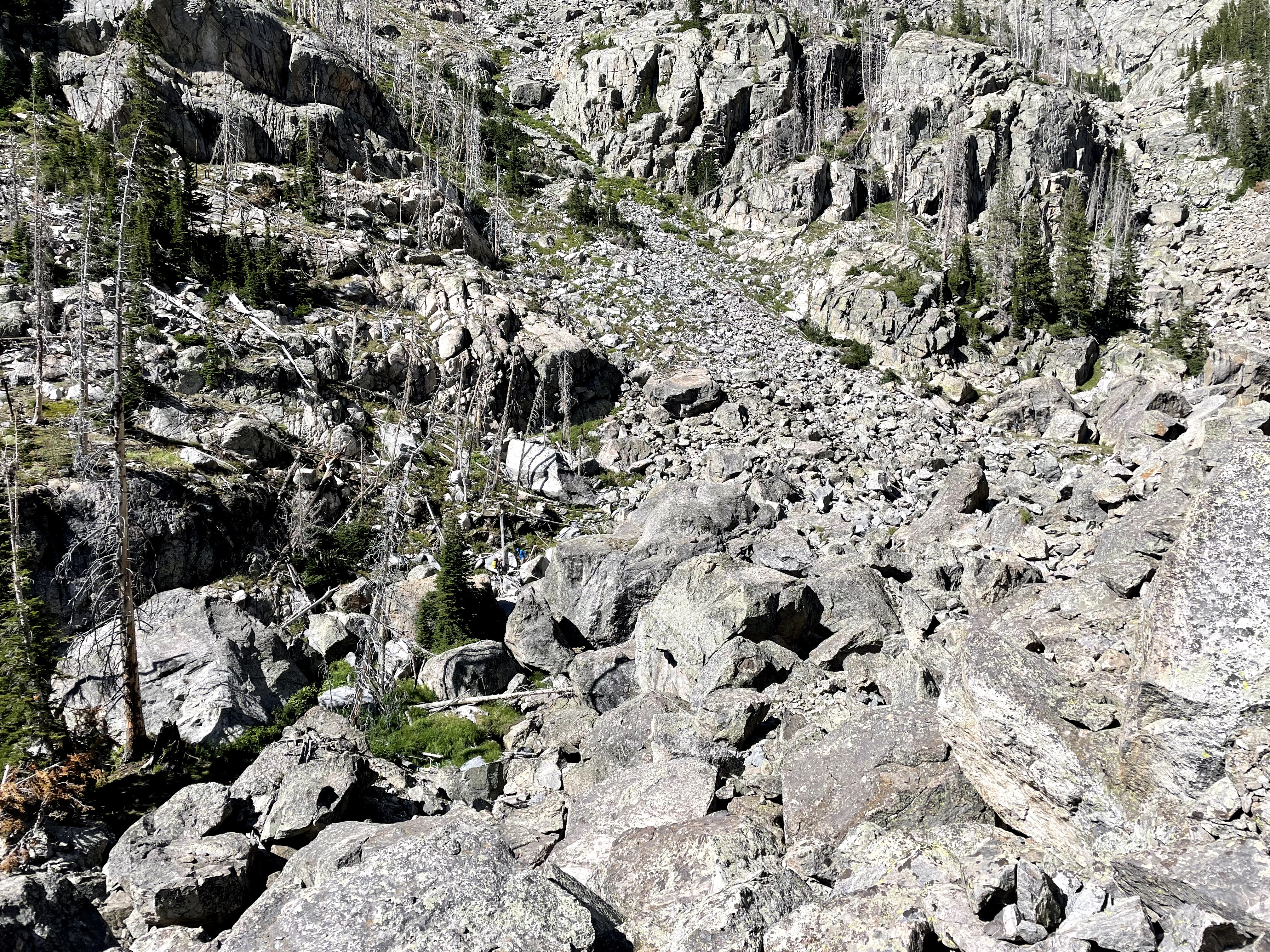
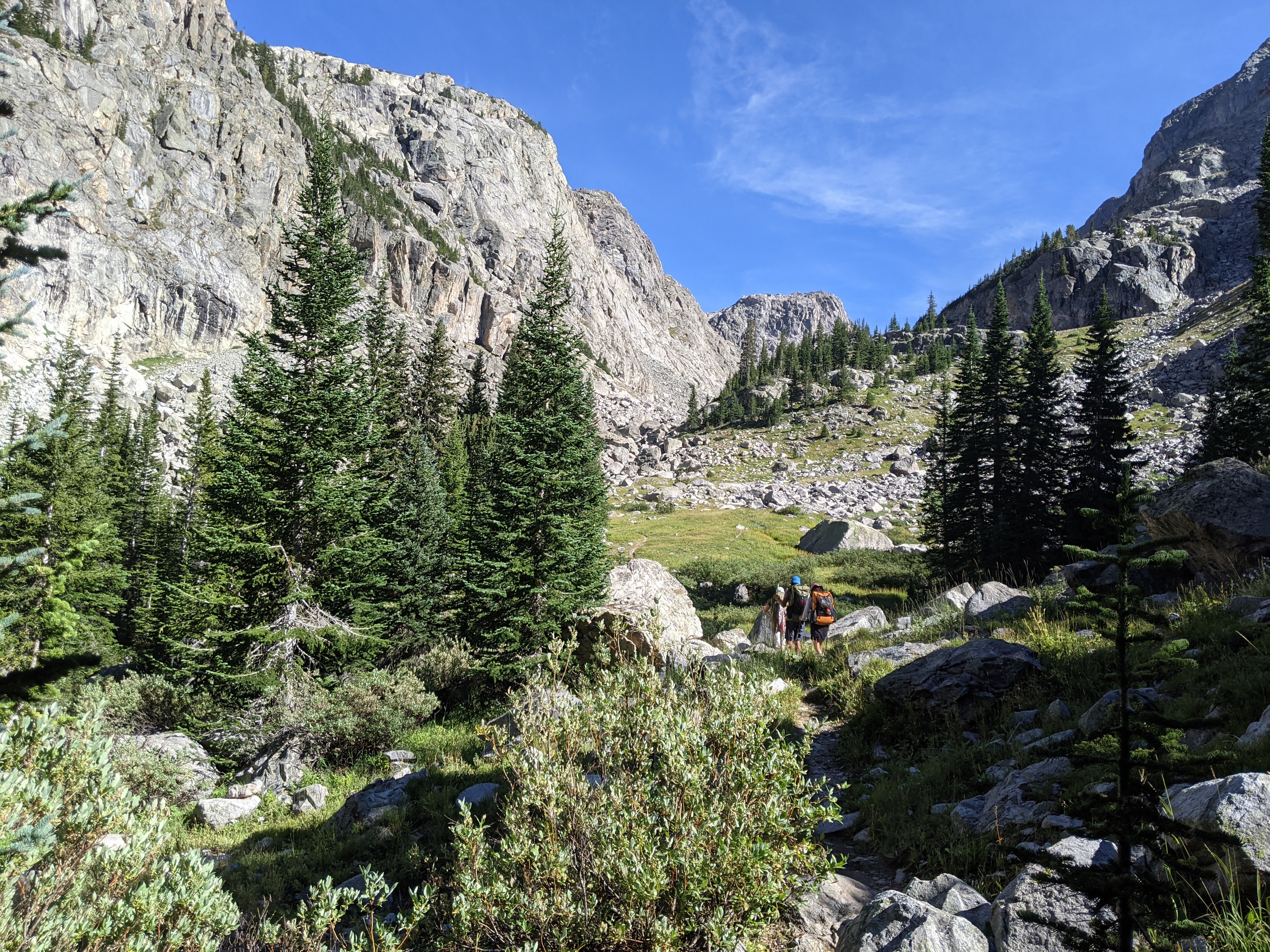
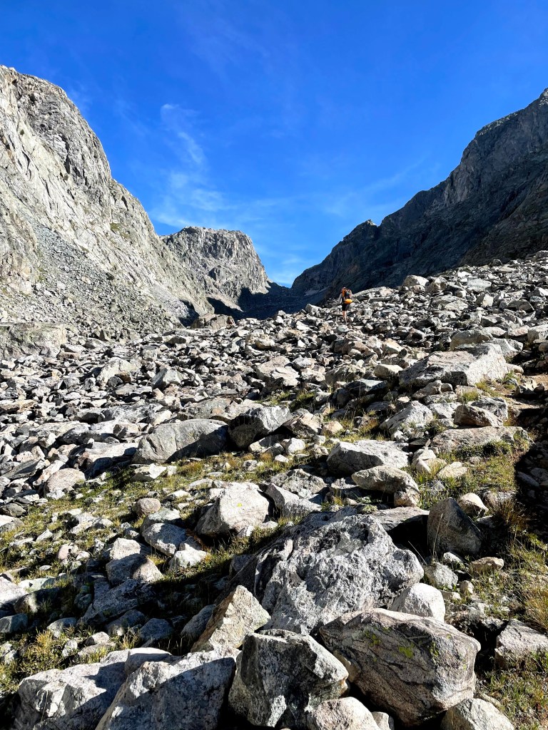
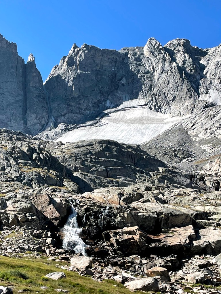
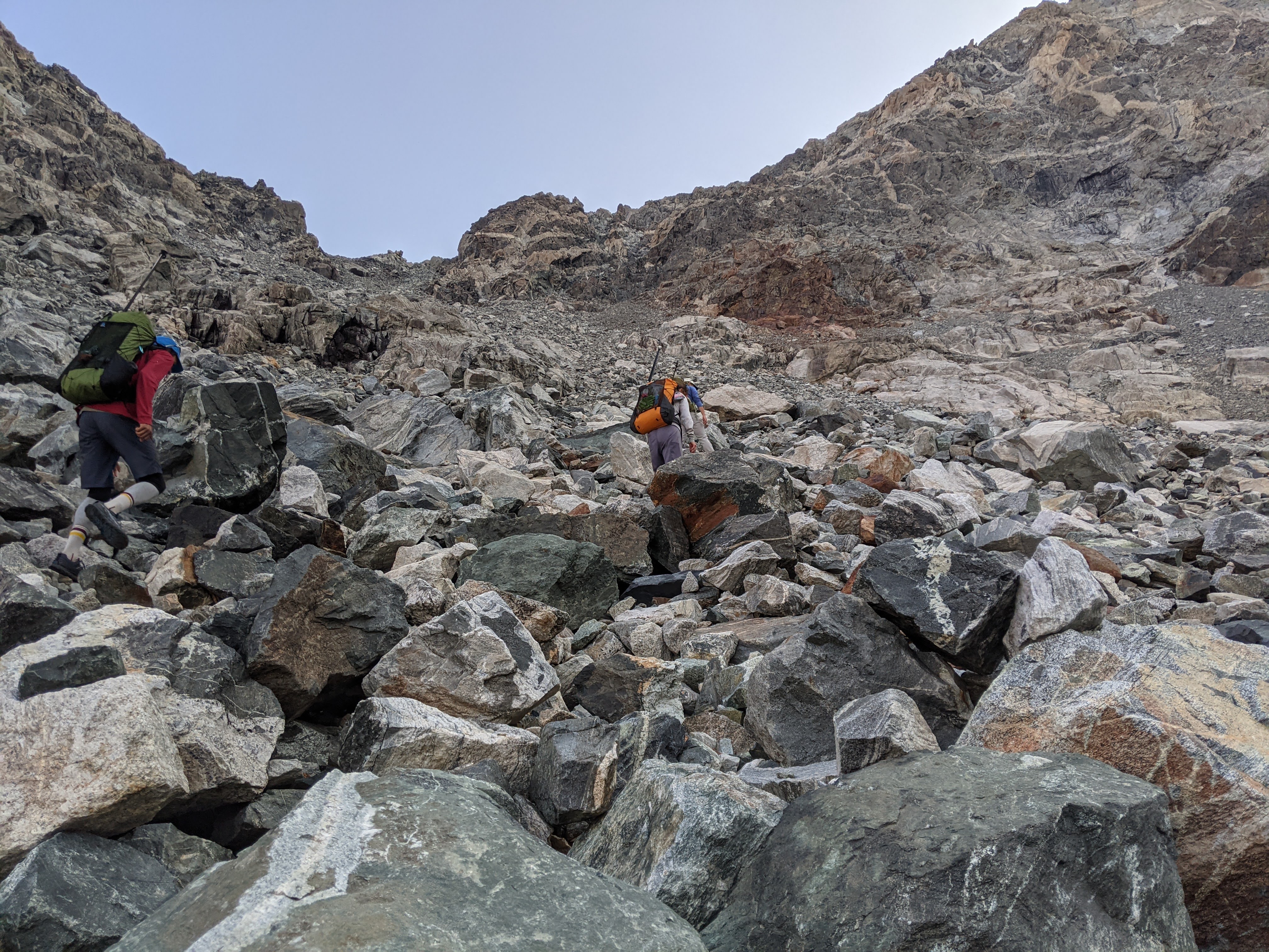
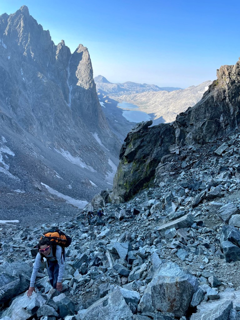
Well, first we crossed a meadow, then we started bushwacking up to the boulder field. Once we hit the boulderfield, we mostly started going up. I knew this wasn’t the best plan, but going up is just so easy. I was concerned that while our vertical progress was good, our horizontal progress was abysmal. We had started going up on the face of the mountain that rises up from the valley.

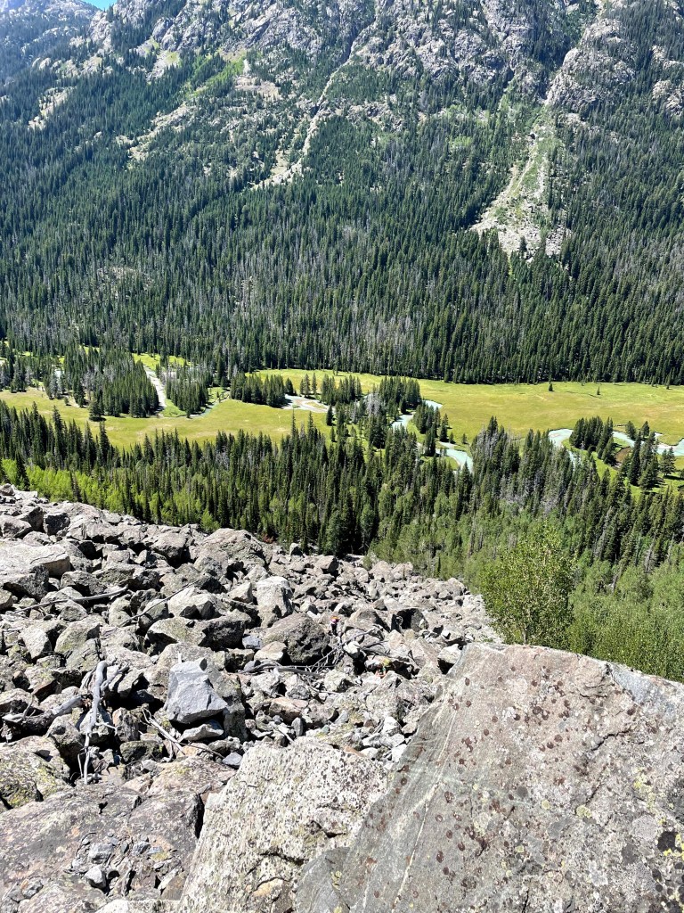

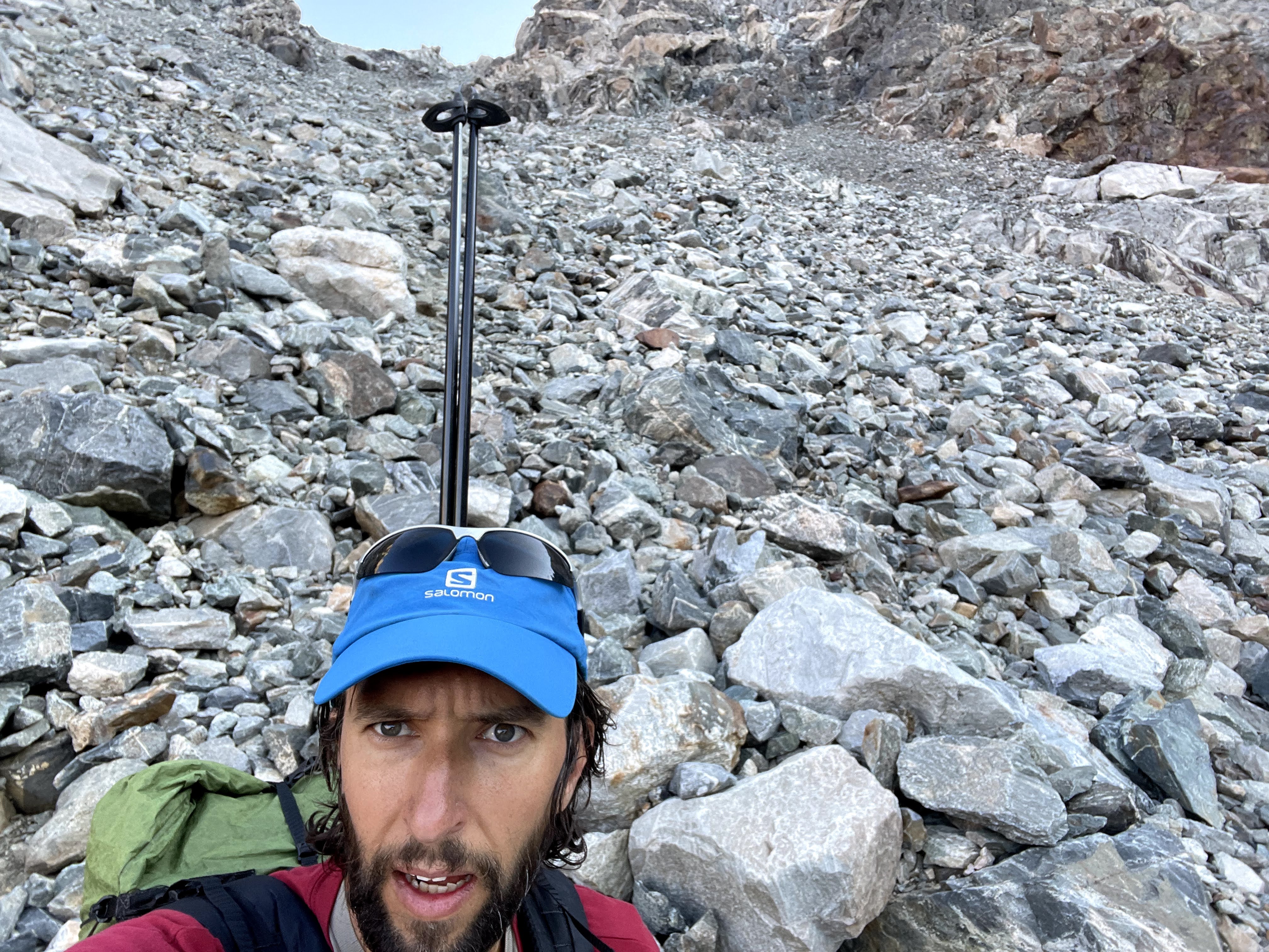
Near the end top of the boulderfield, we began moving towards Tourist Creek. As we came out on the point of the mountain, the rock got small and loose. During my last few trips to the mountains, I’ve learned that I hate loose rock. I get stuck, like anytime I move I start sliding, and sometimes this means larger rocks start sliding. I like my rock solid, and I don’t think I’m alone in this. At this point I was ready to quit, but everyone else wanted to keep going, so we did. As we left a tree and climbed higher, two basketball sized boulders in a row gave out on me and rolled down to bury my opposite foot. I just wasn’t having it but fortunately after 50 meters or so, we were through this small loose section.
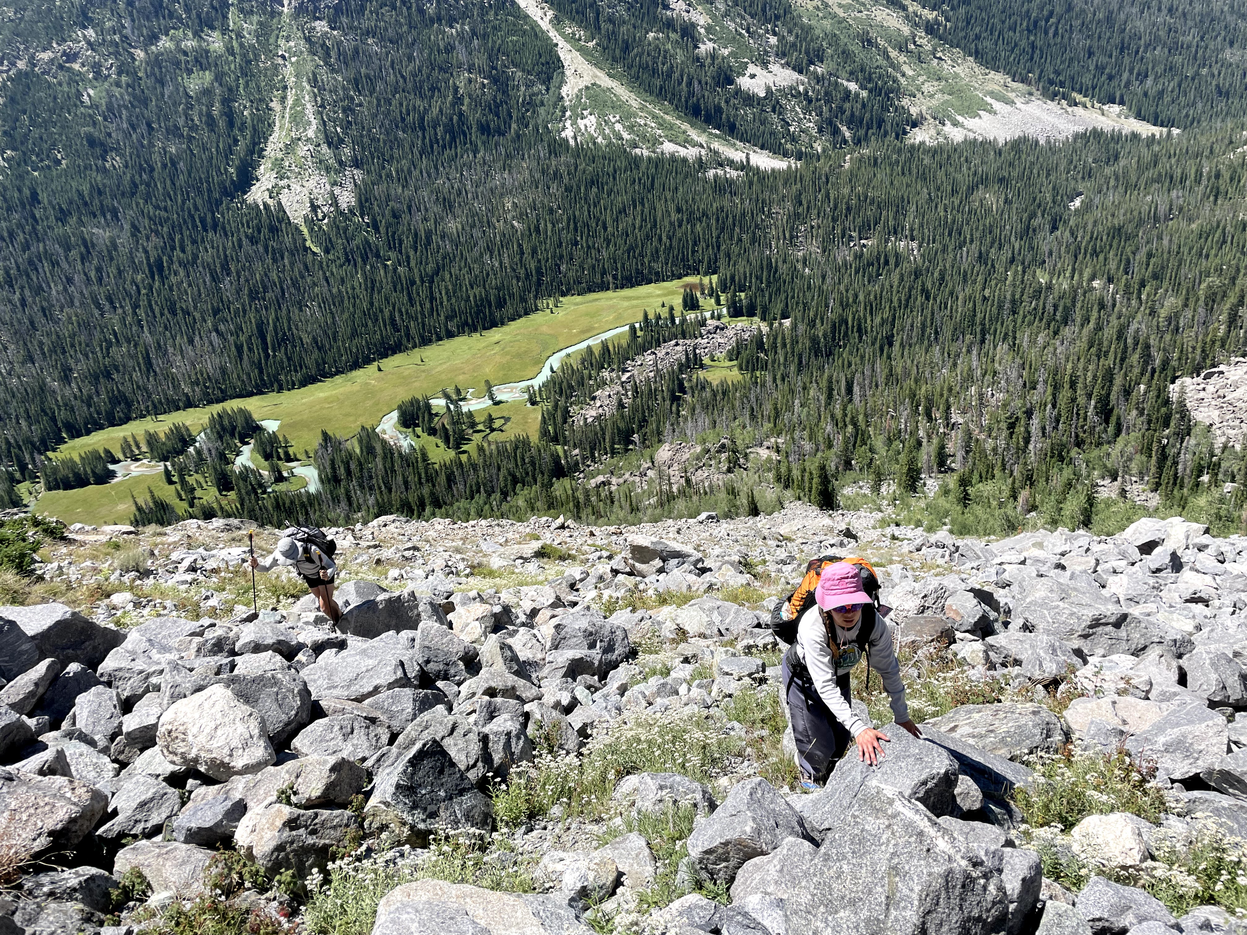
I was the slowest one in the boulders and this didn’t terribly surprise me. Eva grew up in the Adirondacks and loves Mount Washington. The trails out east are ridiculously rocky and often cross boulderfields and so Eva was kicking my ass.
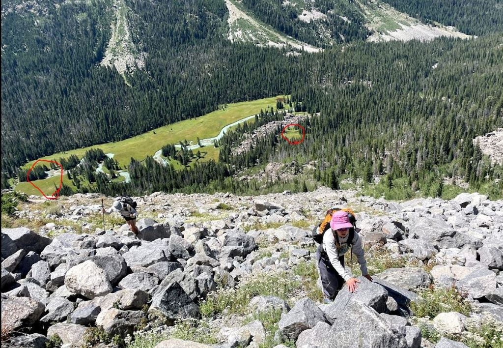
Erik, tired of waiting for me, took the opportunity to head down to the creek to get us some water while the rest of us began a mile-long contour on the boulderfield. Erik’s decision was probably the best of the entire day as we were all getting down on water. After an hour, Erik finally met up with us and we found a non-rocky section in the trees to eat second lunch at 4 pm. It had been six hours since first lunch and we’d been in the boulders for three hours at this point. Often, when faced with significant obstacle, I kind of shut down in terms of eating and this is exactly what happened on Tourist Creek. There just was nowhere good to stop, where I could stand or sit on terra firma, so I had just kept going. Erik reported that he saw two people down by the creek heading up. Although we new this was an established route, we were surprised anyone else was out on this Tuesday.
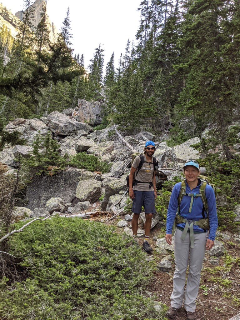
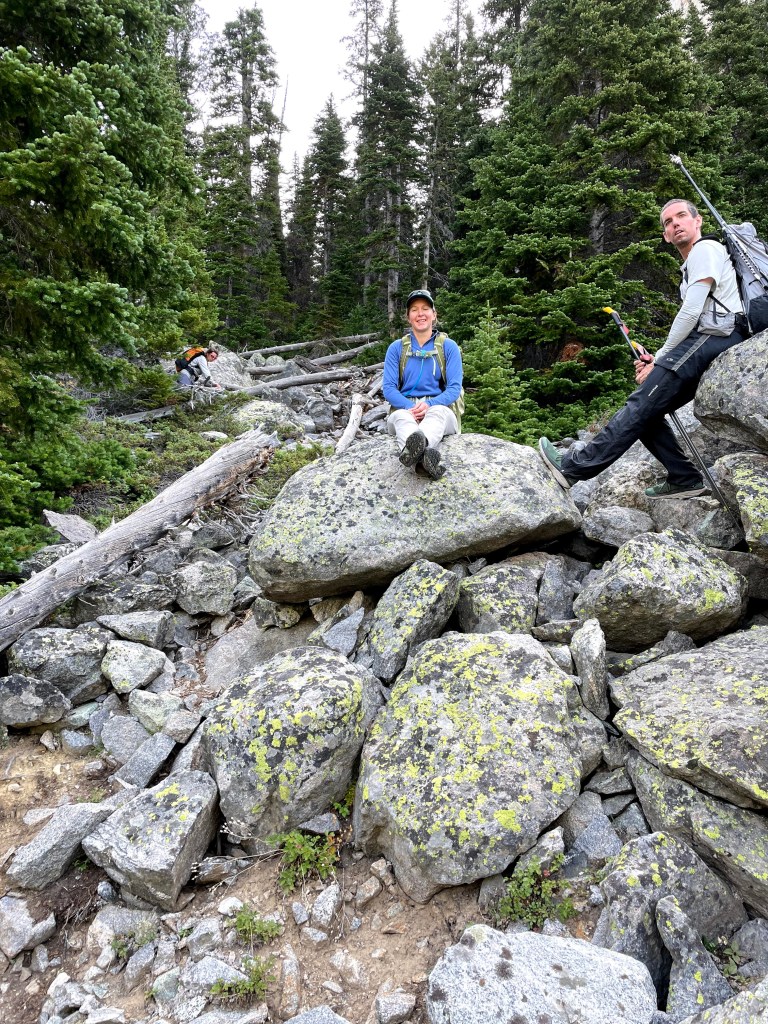
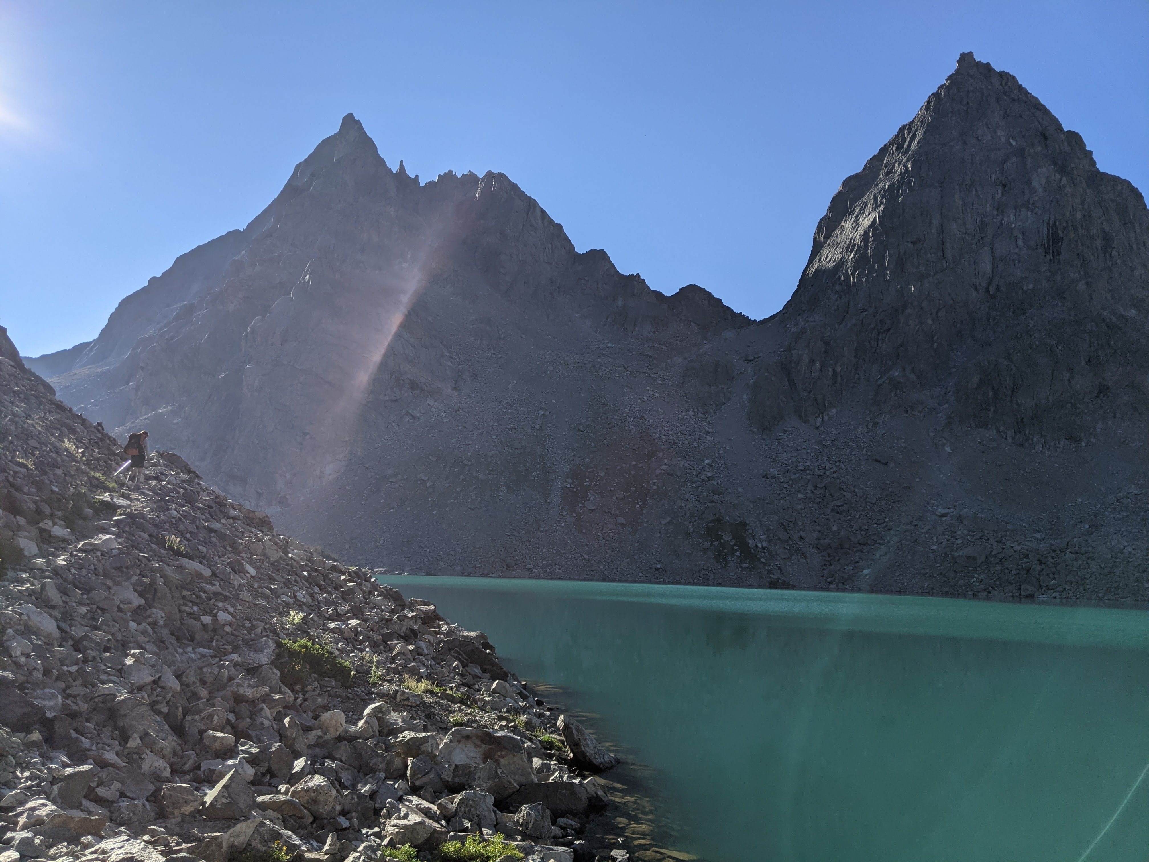
As we continued on in the boulderfield, Eva was convinced there had to be an easier way, perhaps down in the trees next to the creek. Erik said he hadn’t seen anything better. We kept contouring and at one point made our way down to where the creek bed was- only it was buried under the boulders. Erik found some cairns, but we only found two. I knew we were getting close to the top of the steep part of Tourist Creek as we were almost directly across from the headwall where the creek splits, but we still seemed so far. We continued on through an area of car-sized boulders.
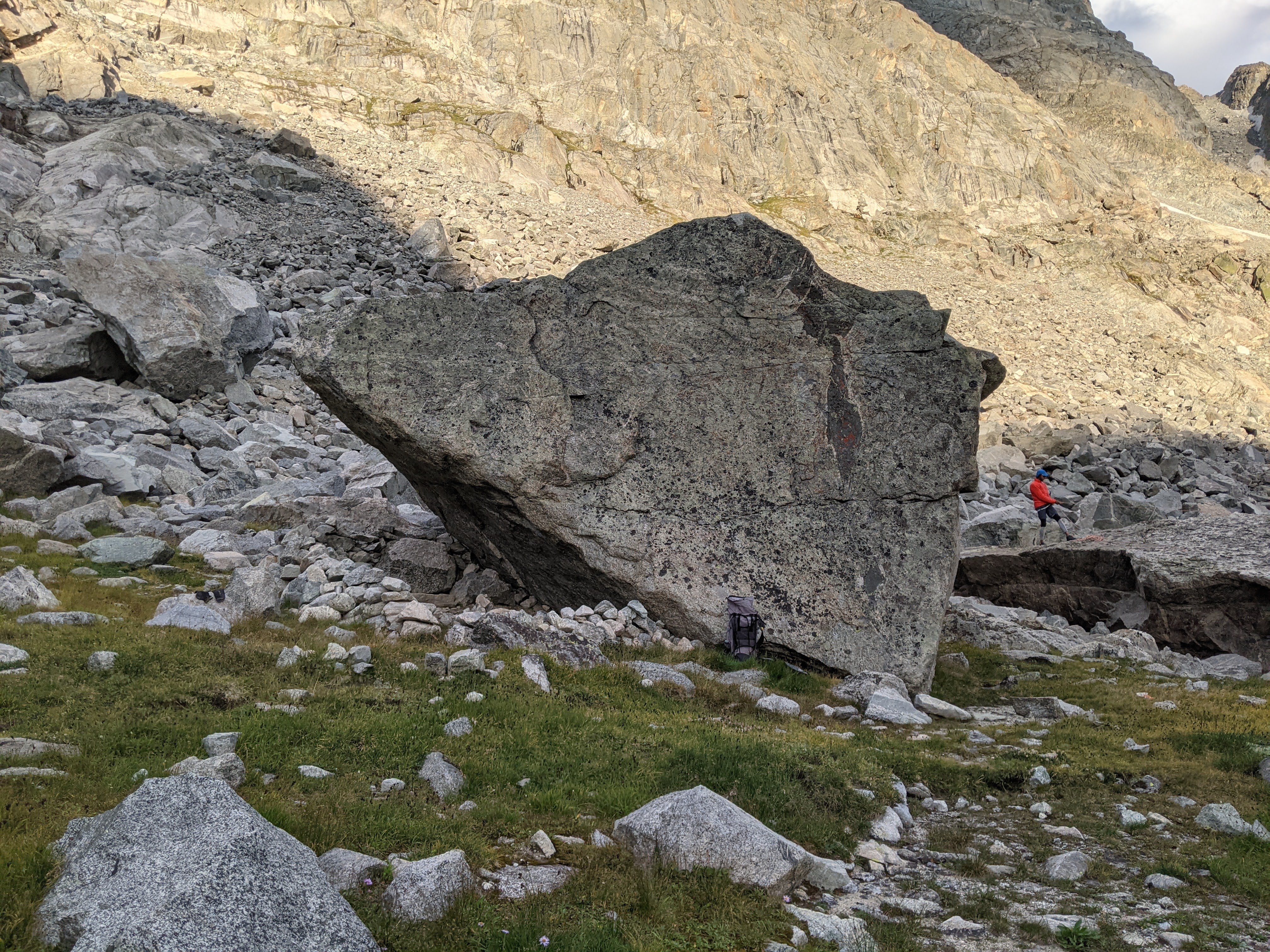
“Is that a baby???” someone asked. There, across the stream was a guy with a big pack, sleeping pad attached on the outside and a baby in a front carrier. At the time, four hours into bushwacking and a boulderfield, this seemed incredulous. I began laughing and laughed until I was crying. As we slowly crawled our way through the boulderfield, we watched two people without packs come down from above, one took the baby, and one led the route up Tourist Creek. They were kicking our ass, going so much faster than us as we carefully made our way over one car-sized boulder after another.
“Guys, we have to go take the Baby Route!” Eva exclaimed when the baby party had just climbed out of sight. So we bouldered across the creek to where there was some grass on the edge of the boulderfield and then began ascending.
Soon we lost the Baby Route. Erik and I elected to go up a near class 5 climb while Eva led Craig on a downclimb that Eva reported “was sketchy and Craig didn’t like it.” The second part of the Class 5 climb was a bit steeper than it had looked from below. Erik elected to head up it while I debated from several different options. Finally I realized there was good bouldering up a small point, as long as I didn’t fall seeing as below the small ledge I stood on was a solid 40 foot drop to the boulderfield below. Even though the bouldering was easy, the exposure and risk got my heart rate up.
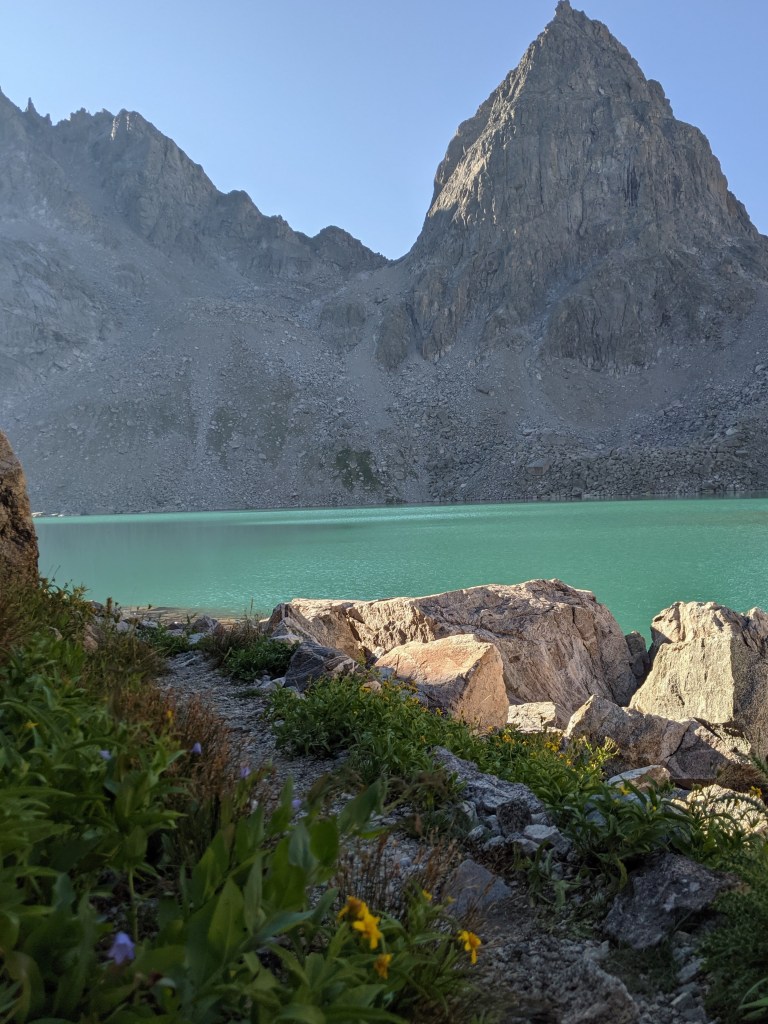
From here we rejoined Craig and Eva and came out to the first small lake on Tourist Creek and the baby party campsite. We filled up our water bottles and got some “beta” from the baby party. They planned a layover day before going for Gannett the following day.
As the guys talked, Eva noticed this party had hauled a large cast iron fry pan up Tourist Creek! They also had helmets, ice axes, and fishing poles. They said we should have ice axes for the Minor Glacier on the way up Gannett. I was like “I’m pretty sure it’s called the Minor Glacier for a reason.”
They told us there were some more campsites a short ways on and we headed there. At the top of the waterfall leaving the small lake we found a couple open areas good for camping. In general we were fairly demoralized between 5 hours of boulderfield and getting crushed by the baby party, so we decided to camp for the day. It was pushing 6 pm. Our bid for Gannett now seemed over as Gannett was the halfway point of our trip and if we got behind schedule it would make for a very miserable last three days. Tourist Creek had taken a solid two hours longer than I’d hoped for and we still had another four miles or so to Gannet.
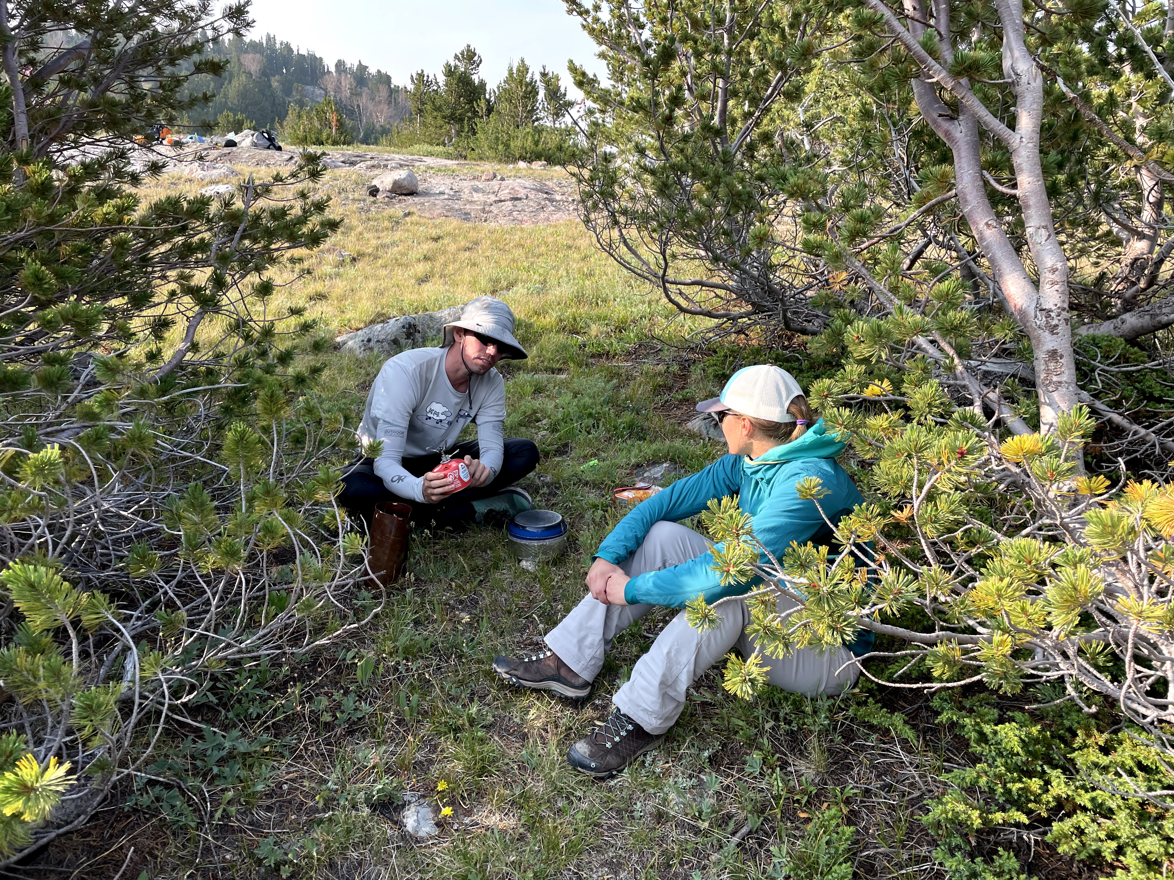
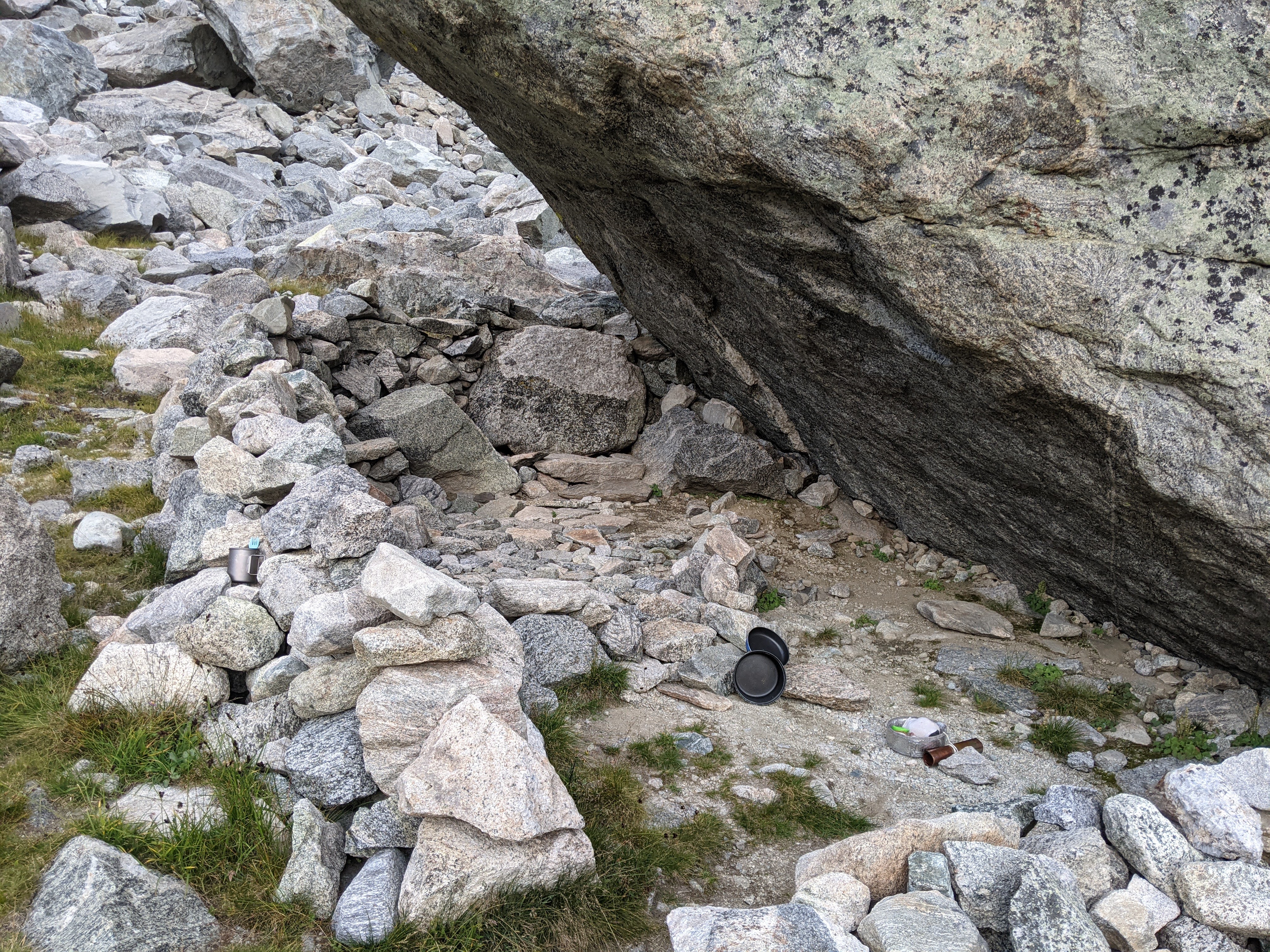
But apparently none of us were entirely ready to give up. While Erik and Eva made dinner, Craig went on a campsite scouting mission, heading farther up Tourist Creek. We ate dinner on some smooth rocks just above the waterfall.
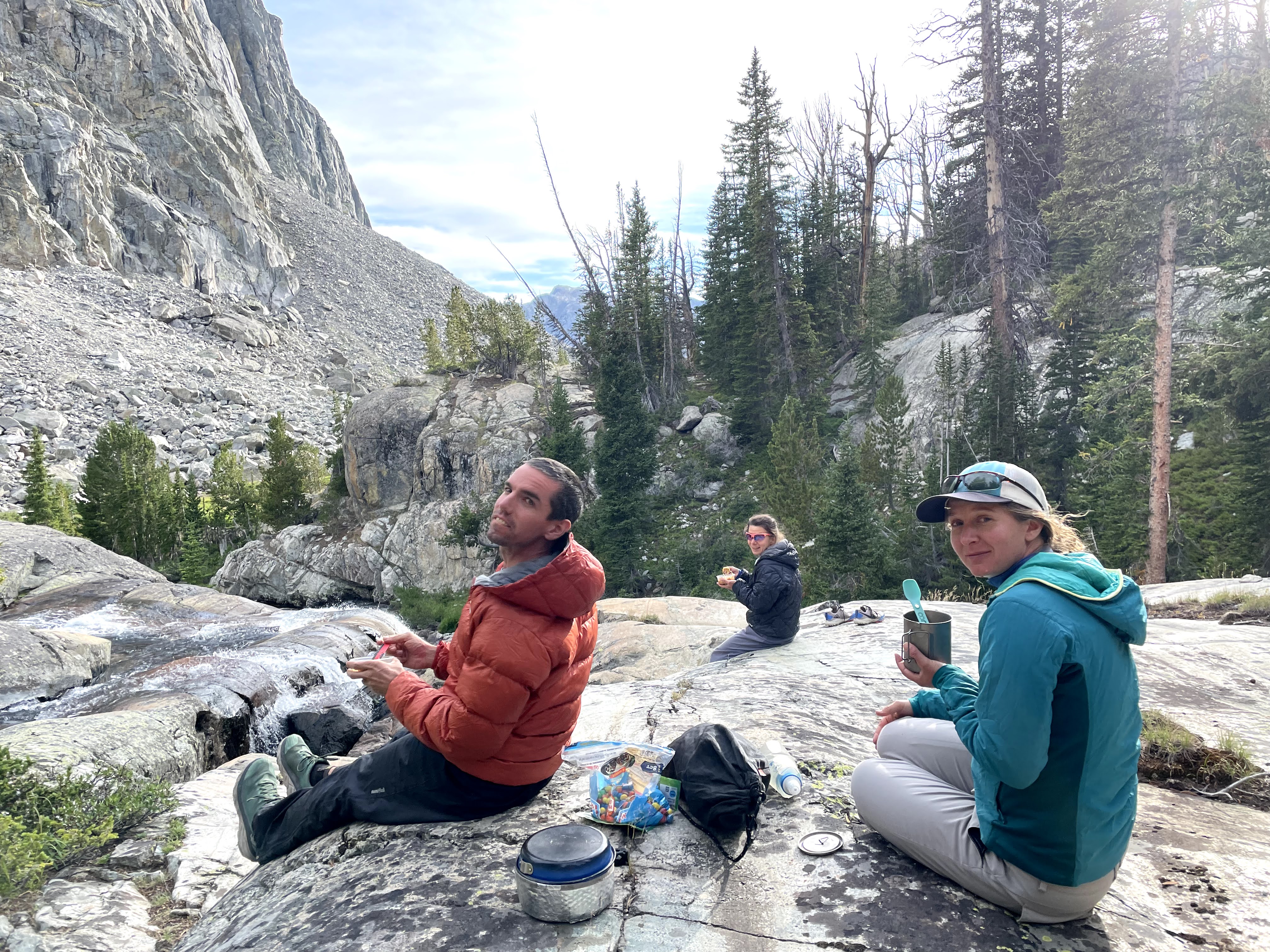
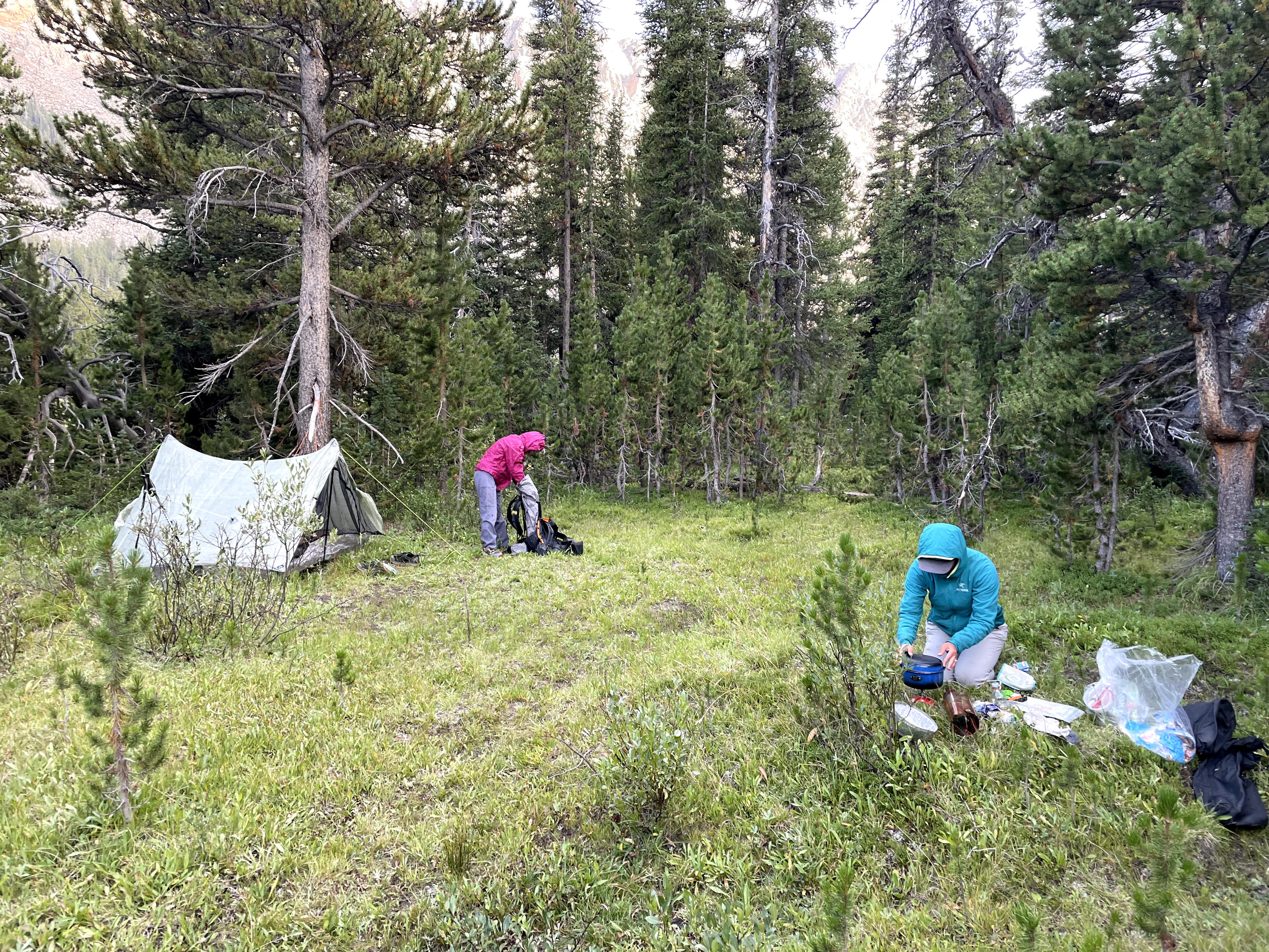
Then we packed up and followed Craig up the next knoll. It turned out to be a comically bad tour. Craig had found a great campsite but couldn’t relocate it and so after finding a surprise lake, we returned back down to the meadow below the knoll. By then it was getting late enough we set up our tents, brushed our teeth, and went to sleep.
Craig’s campsite tour did reveal a number of tent sites and three fire rings…so apparently despite the off-trail bushwacking and boulders this route is fairly popular.
Our bodies were all sore and knowing how much farther we had to go to complete our loop of the North Winds, including two off-trail passes, we decided to be wise and start back down Tourist Creek in the morning, this time following the Baby Route. As we passed the baby party campsite, we saw them lounging on some smooth rock in the sun on their Crazy Creek chairs- wow, even more gear they hauled up Tourist Creek!
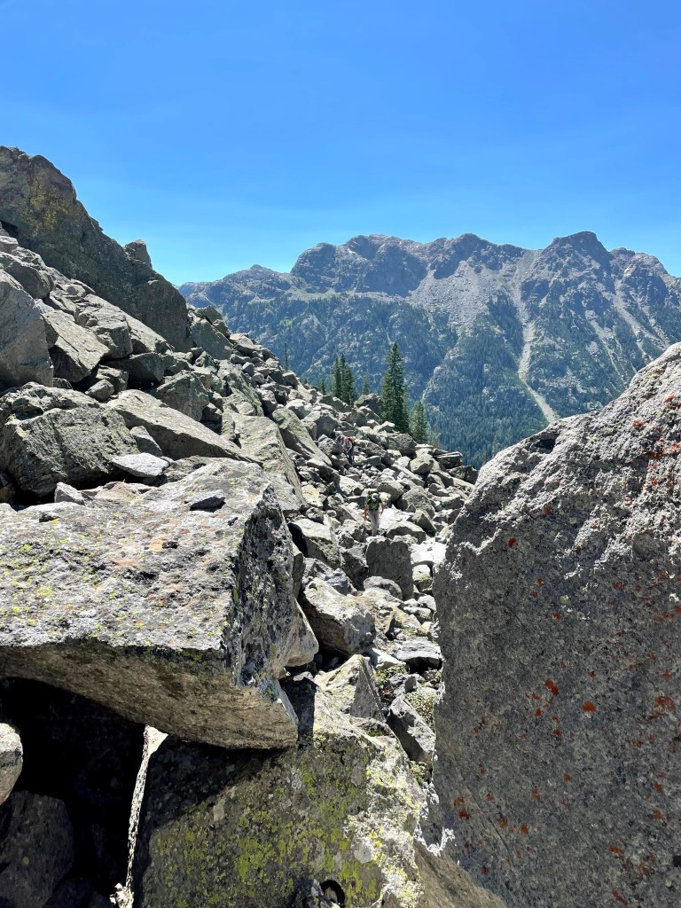
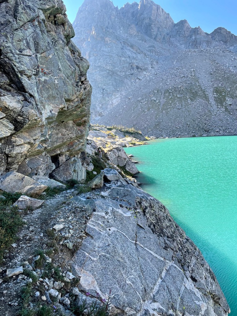
As we followed the Baby Route down Tourist Creek, it was obvious this was the much better way to go. We stayed just north of, or on, the creek. Sure, there were still some boulders but there was also some grass, places to rest, and yes, a few raspberries and other shrubs/trees.
At the upper waterfall the route seemed to cross to the south side of the creek where we frequently found a reasonable route through the trees, staying quite close to the creek until we approached the lower waterfall.
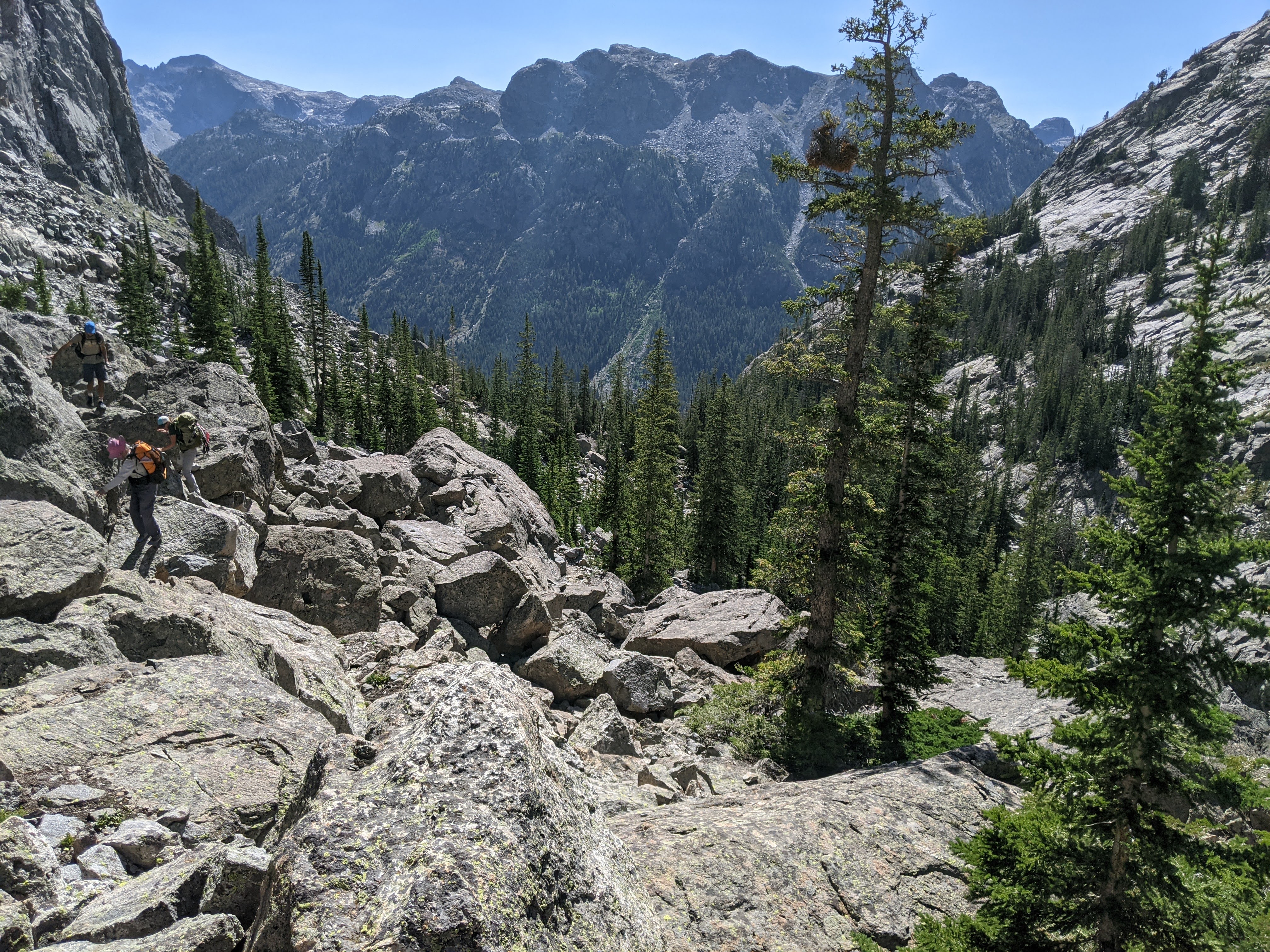
At the flat area on the river above the lower waterfall, we lost the trail. We debated crossing over to the north side of the creek but we couldn’t decipher an obvious trail and since we needed to be on the south side of the creek anyway, we elected to not cross. After a short boulderfield section, we were able to head back into the trees and make progress for a bit longer before we officially lost the trail. From here we alternated boulder fields with forest, initially an aspen forest and then near the base of the mountain a pine forest.
Traveling through the pines with a zillion down trees was tedious and seemed worse than the boulderfield where we could monitor our progress. The ground leveled out and finally we came to a meadow, and just beyond that the Green River.
We weren’t quite back at our food stash though. We took the meadow south but soon came upon a channel of Tourist Creek that meandered, paralleling the Green River. After crossing it twice, Tourist Creek became part of the Green River and we got to our food stash.
It took us five hours to hike/climb/boulder from the food stash to the campsite the day before but taking the Baby Route, we made it down in four hours. I will say though, hiking straight up the boulderfield on the face of the mountain made for a much more spectacular view of the Green River Valley than being closer to Tourist Creek.
Day Four (8/11/21): Tourist Creek to Dale Lake
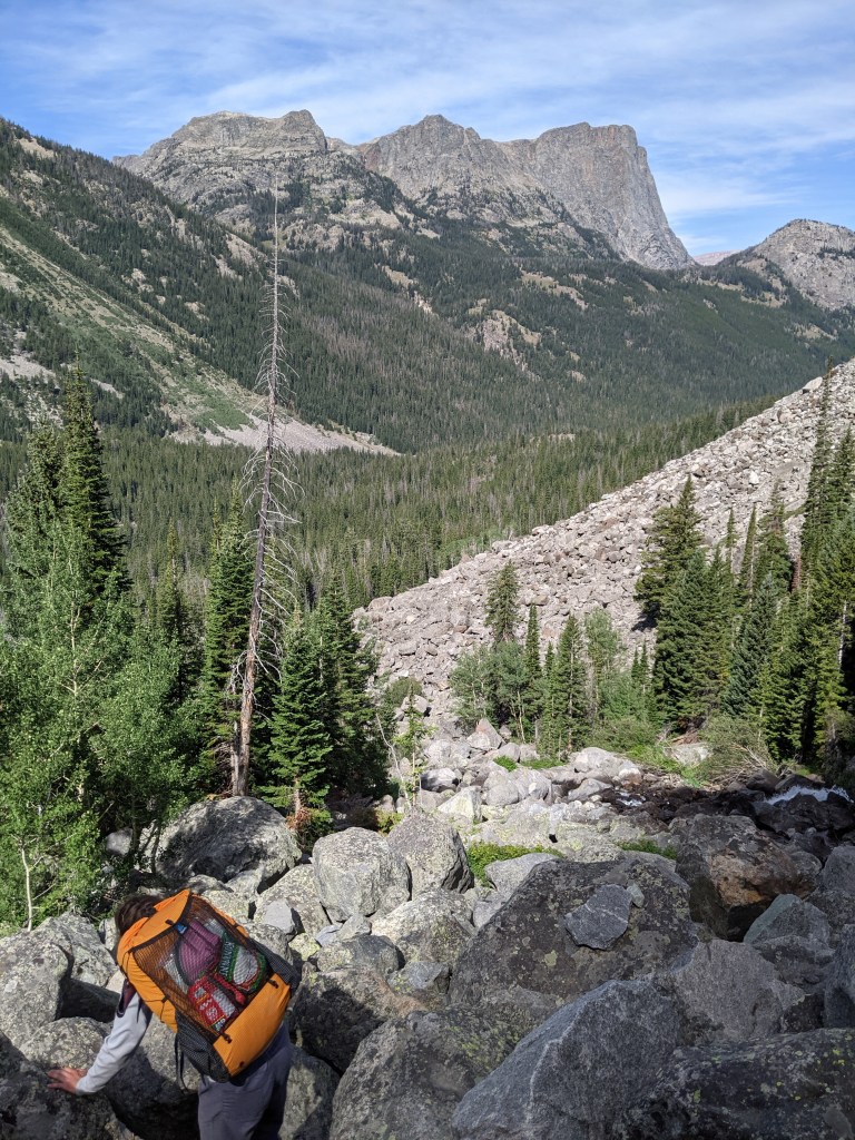
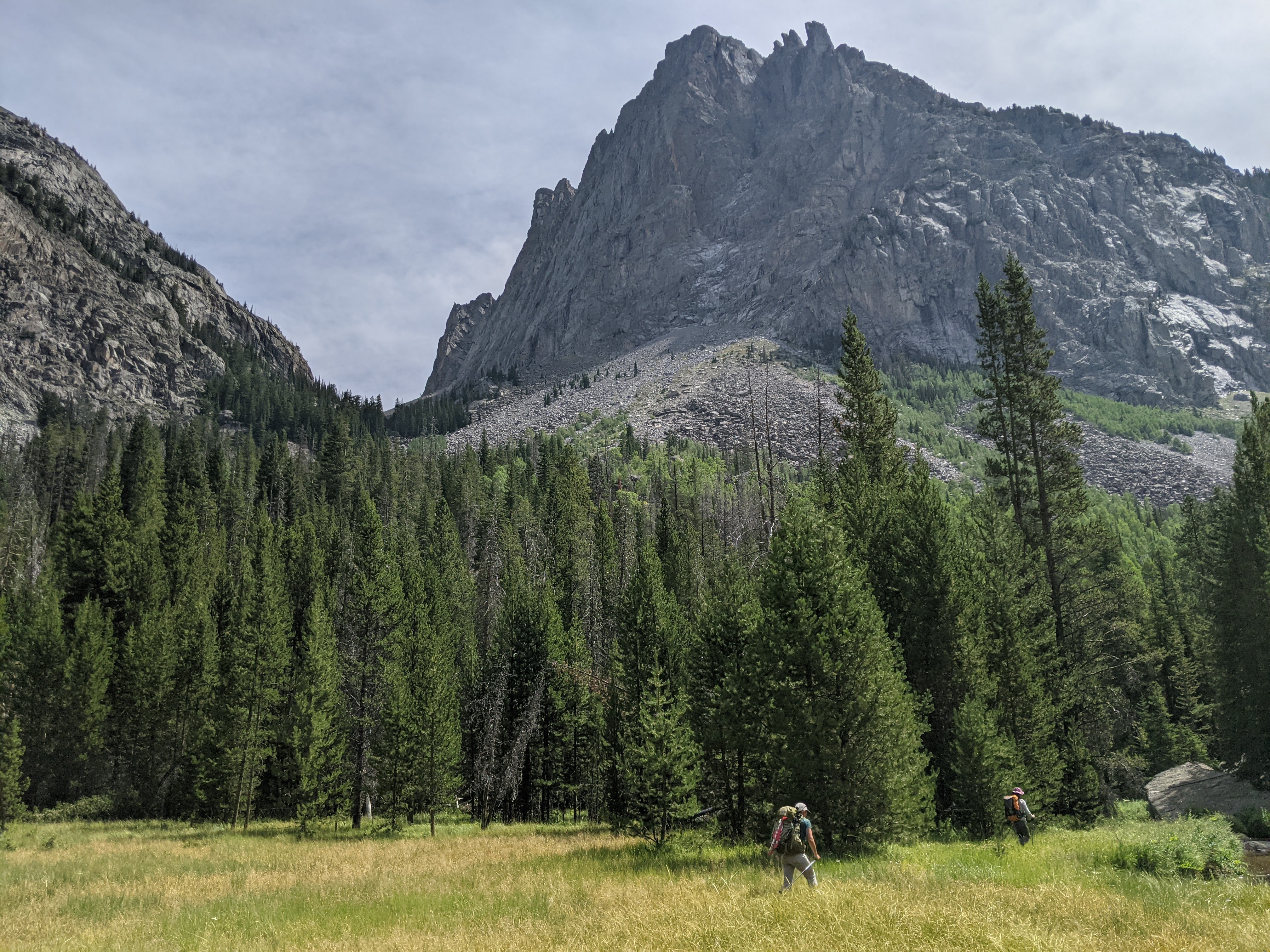
As noted above, day four really began up on Tourist Creek. By noon we were back to our food stash where we took a lengthy break, both before and after fording the Green River. Then we were back to hiking on the CDT/Highline. It was warm again and we had the sweet pine smell as we hiked through the forest. The trail climbed up Trail Creek on the gentlest switchbacks I’ve ever been on. It was amazing how quickly and easily we got to the same height as the boulderfield on Tourist Creek Mountain.
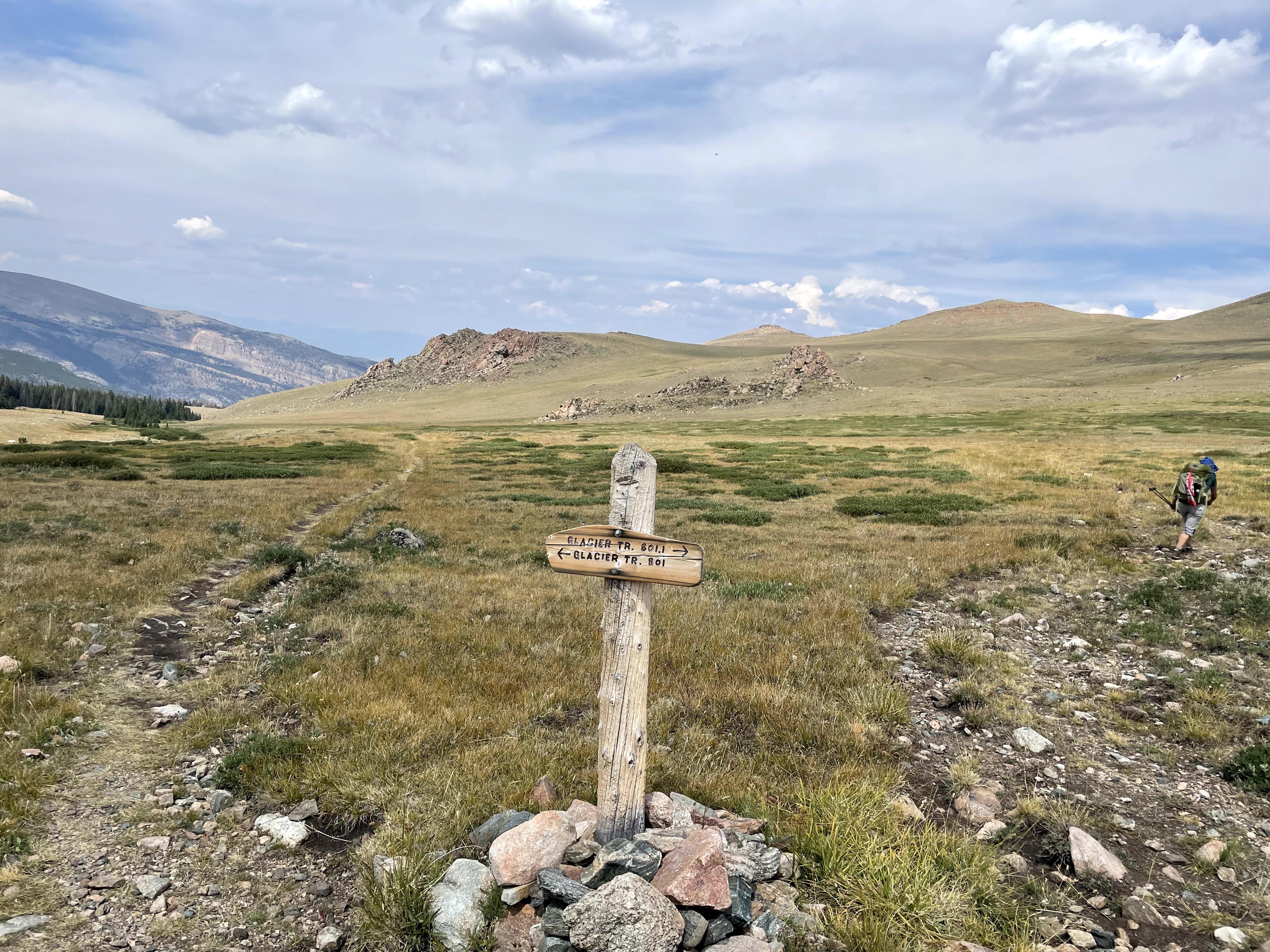
We stopped at Trail Creek Park for second lunch and then took the Glacier Trail towards Vista Pass. The lake at Vista Pass was interesting- clearly a snow melt lake that was disappearing by the second in the heat. The shoreline was muddy and the guys found a dead tree to climb out on to get some non-glacial silt water. We were constantly trying to get non-glacial water out of concern the silt would clog our Katadyn BeFree filters.
After stopping for a view break at Vista Lake, we continued on. Our map said the trail was nonmaintained and as we neared the Green River there were a couple blowdowns. We also talked to a northbound thruhiker (with patches on his shorts from several other thruhikes) who said we had to go swimming in Peak Lake- whether it was evening or morning!
Otherwise the trail was in good condition with the exception of a bit of boulderfield after crossing the creek (the creek mostly ran under the boulders). While the trail continued on in the boulderfield, it had been filled in with smaller rocks, creating a relatively flat hiking surface. Eva kept wondering when we’d see Dale Lake. I told her it was left of the final mountain before the pass. It took talking with a guy heading the opposite direction before she believed me.
Finally we made the corner east and arrived at Dale Lake.
Our goal had been Peak Lake but other hikers had said there were already three groups there so when we saw no one else at Dale Lake, we decided to stay. It was already 6 pm and the sun would be setting soon but we all decided it was swim time. The lake was perfect for this with a relatively steep drop off.


Day Five (8/12/21): Dale Lake to the base of Mount Helen in the Titcomb Basin
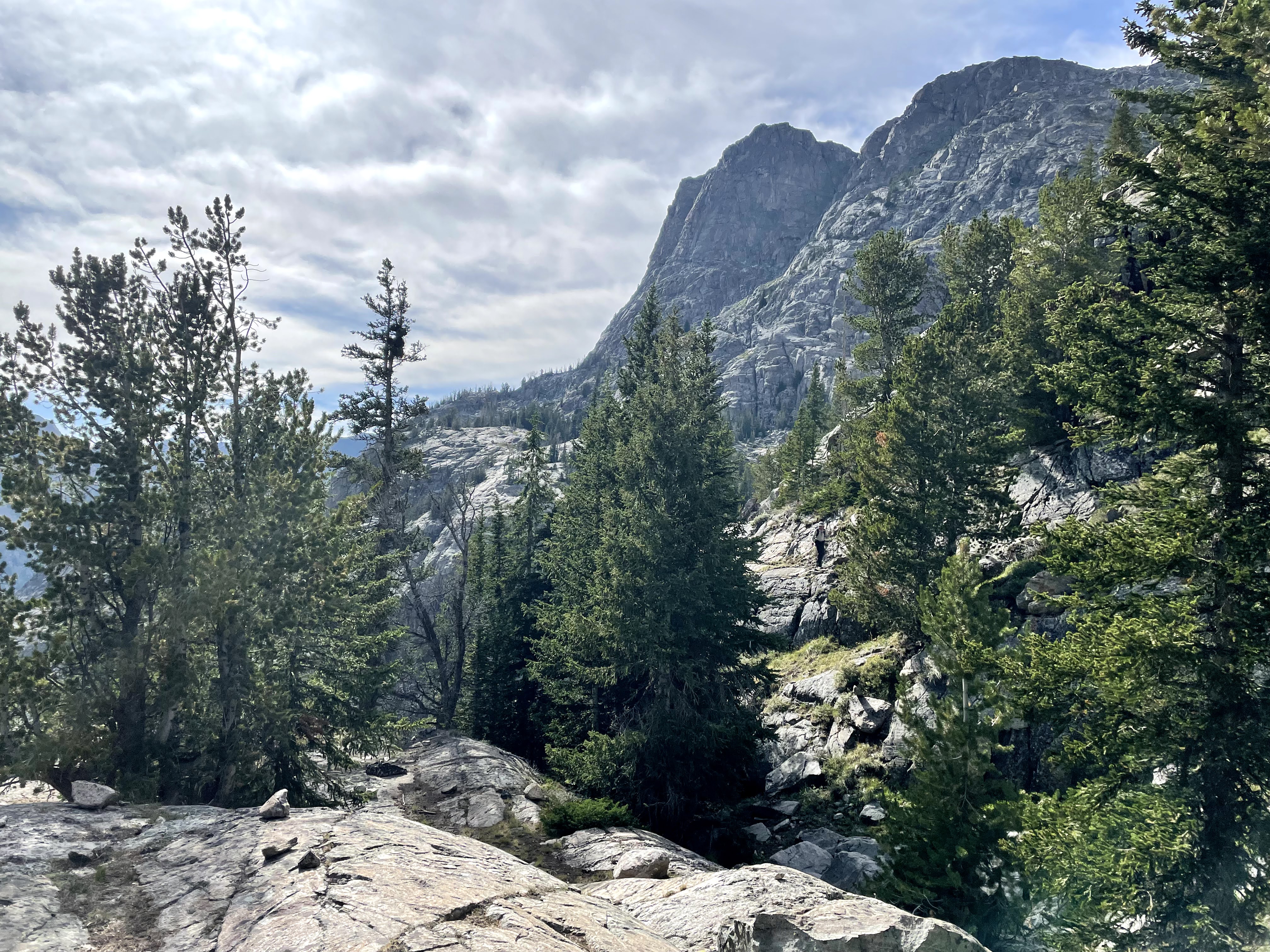
My original plan had us taking the Glacier Trail to the Highline Trail and then the Titcomb Basin Trail but as Eva’s pinky toes were blistered and we were already doing insanely long days, Craig scoured the map for a cut-off option. I knew about the Knapsack Col route but was admittedly a bit intimidated by its steep terrain and potential glaciers. So we started asking everyone we saw hiking if they knew about or had done the Knapsack Col and we learned it was a popular CDT variant that shouldn’t be too hard. It would also cut-off significant mileage.
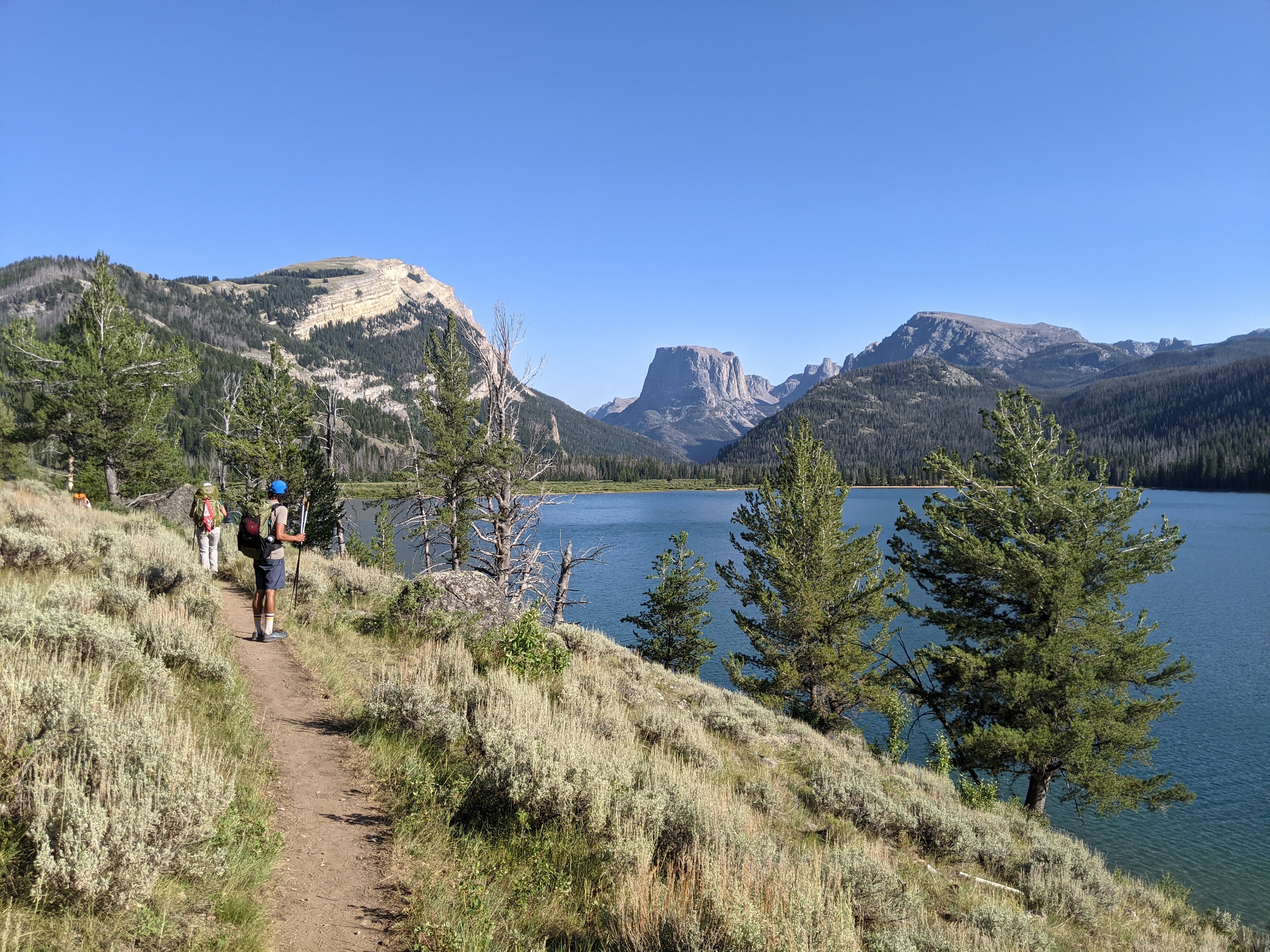
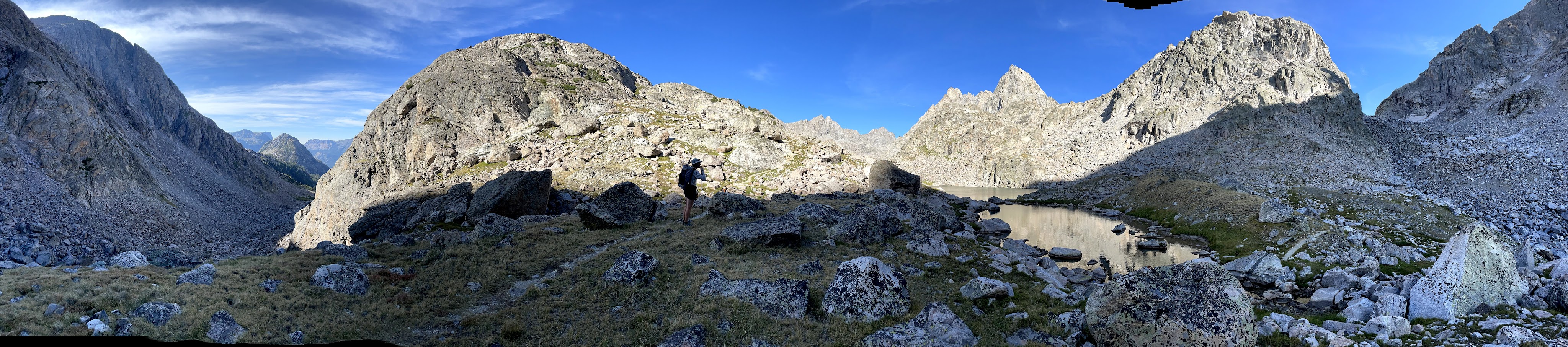
So on day five after hiking to Peak Lake, we followed the off-trail route I had taken from a public track on GAIA. Only it was more of an on-trail route. There was a crazy good trail leading from Peak Lake to the base of the steep part of the pass. One note here, the route goes along the north side of Peak Lake which looks impossible from the southwest side but there really is a good trail.

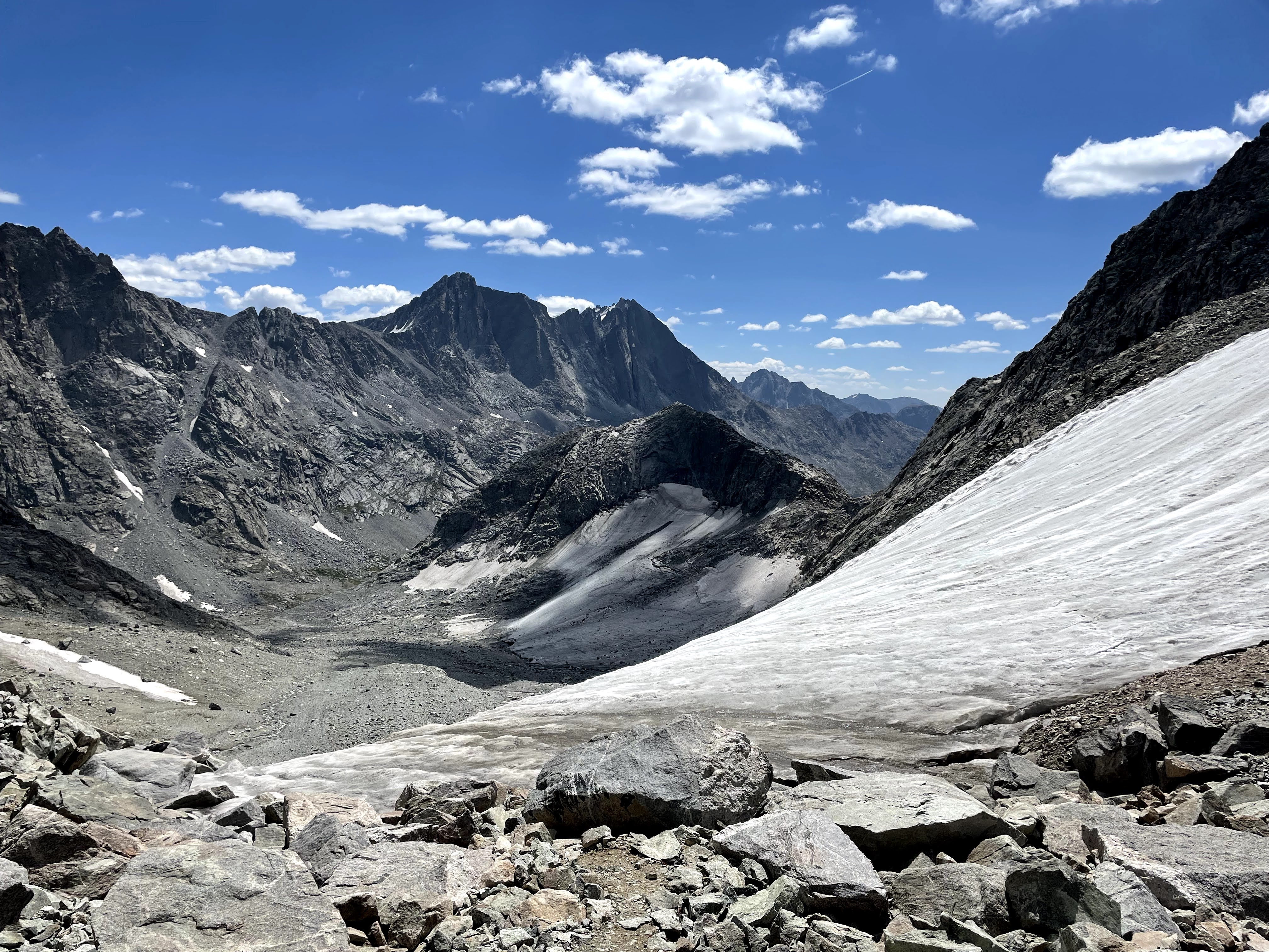
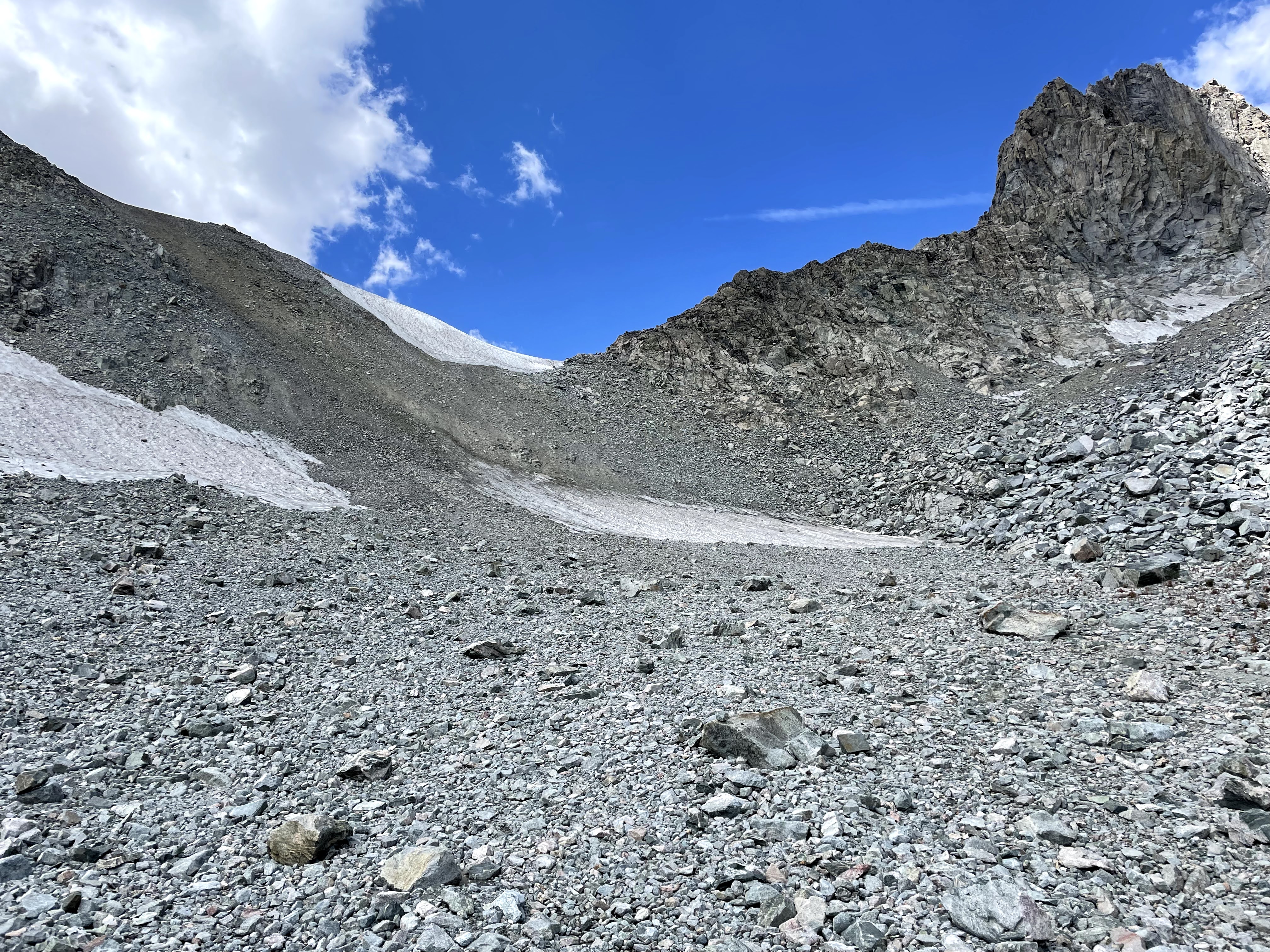
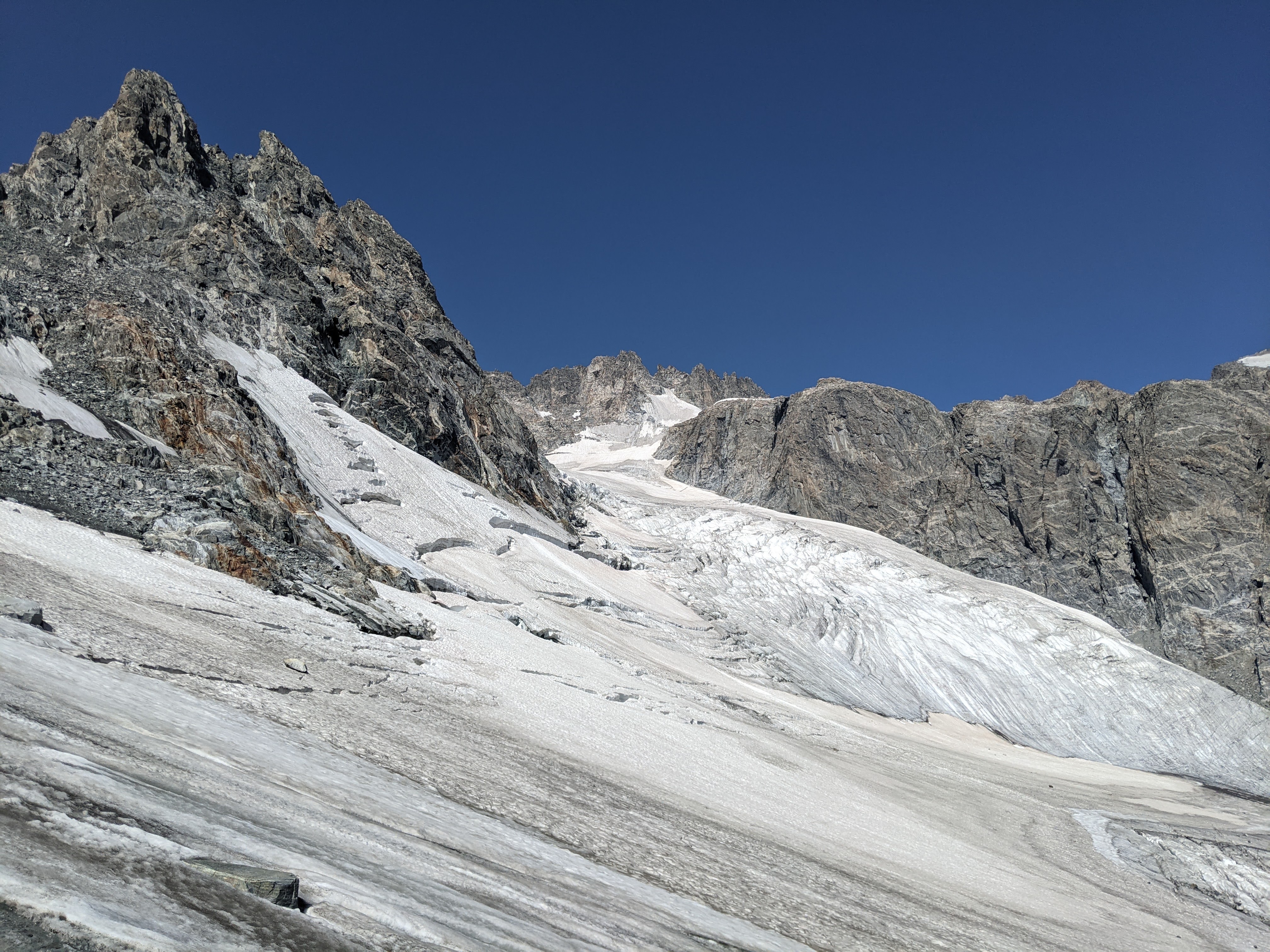
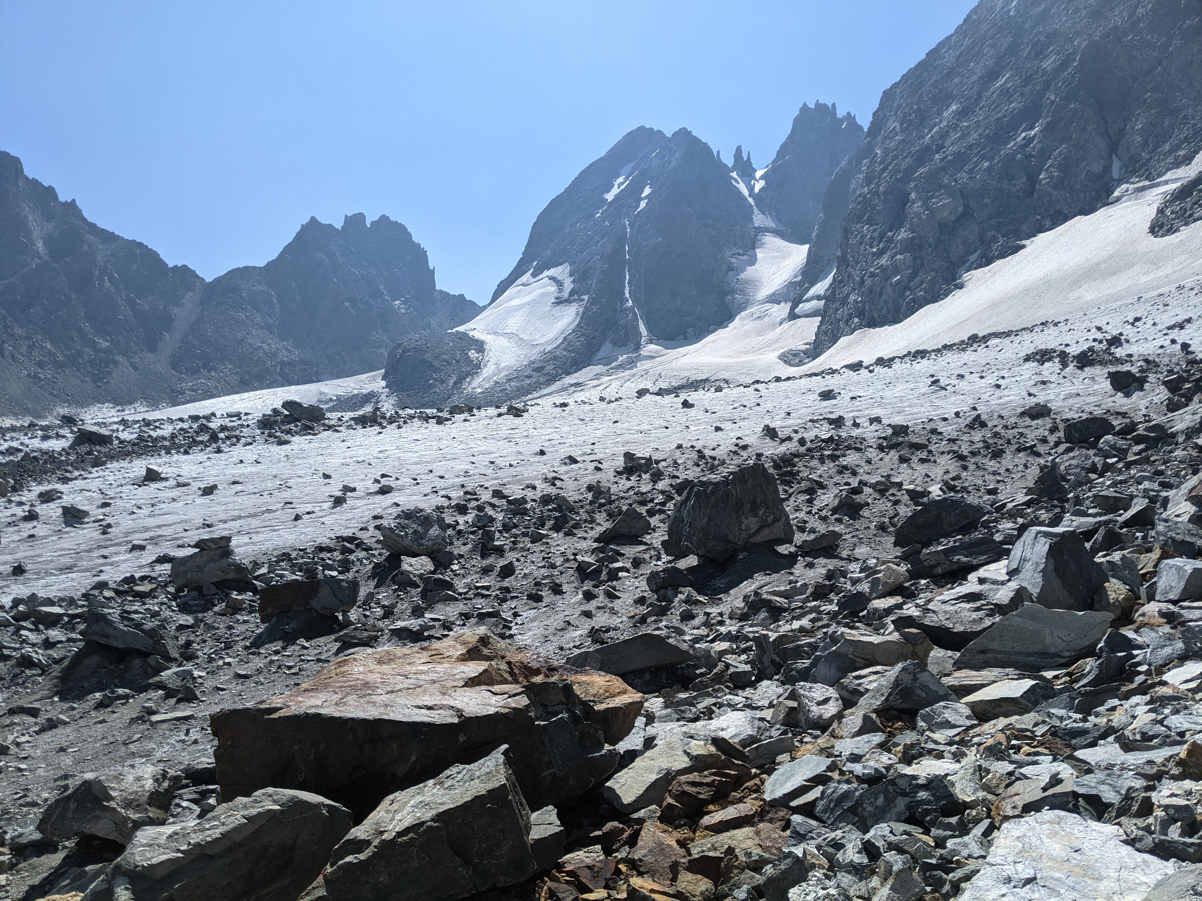
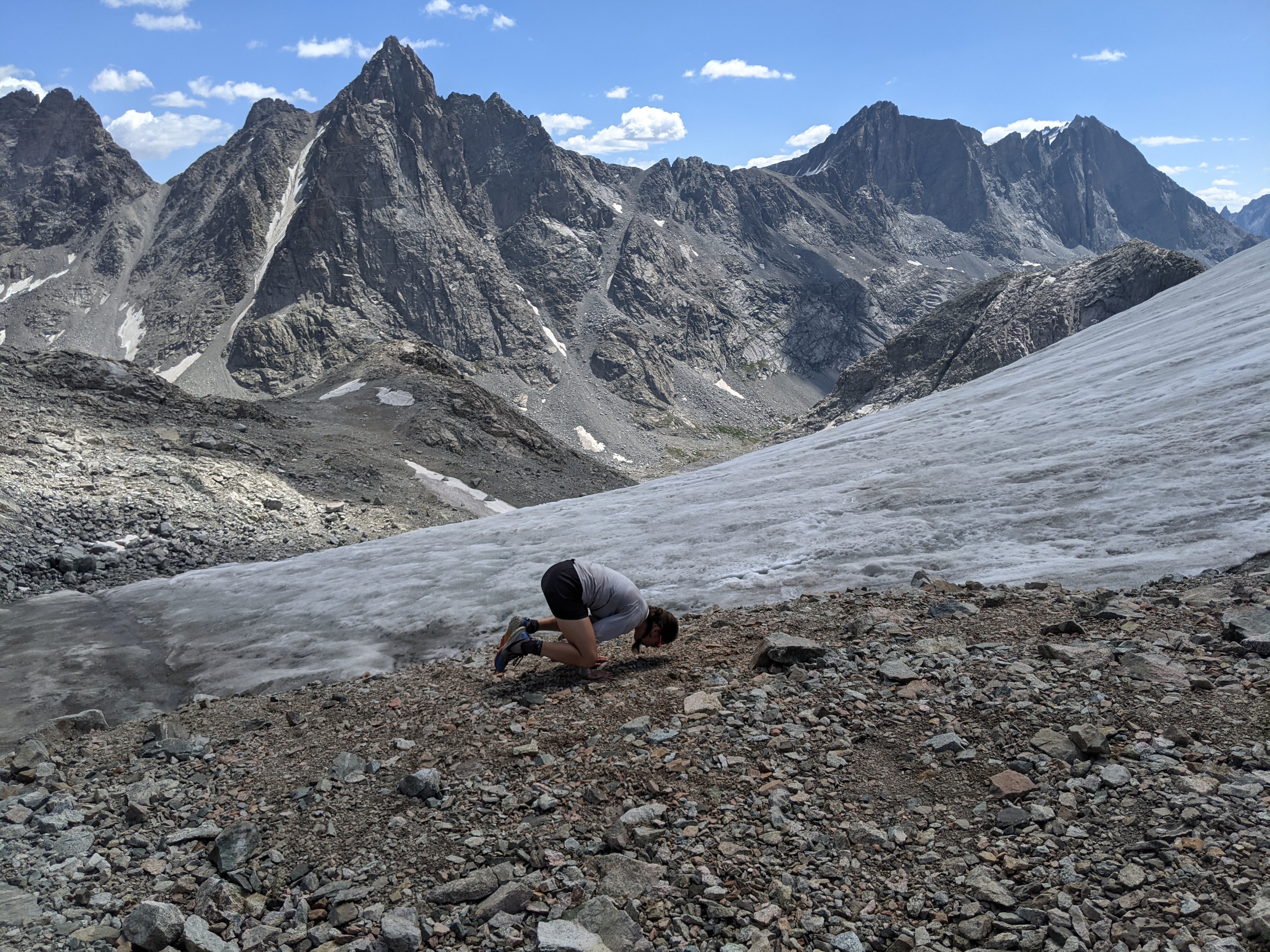
We made reasonable time to the steep section, then Eva and I took a brief detour to see the Stroud Glacier a bit closer, before we resumed the climb to Knapsack Col. Near the top there was some loose rock/scree and “kitty litter” but fortunately these sections were brief.
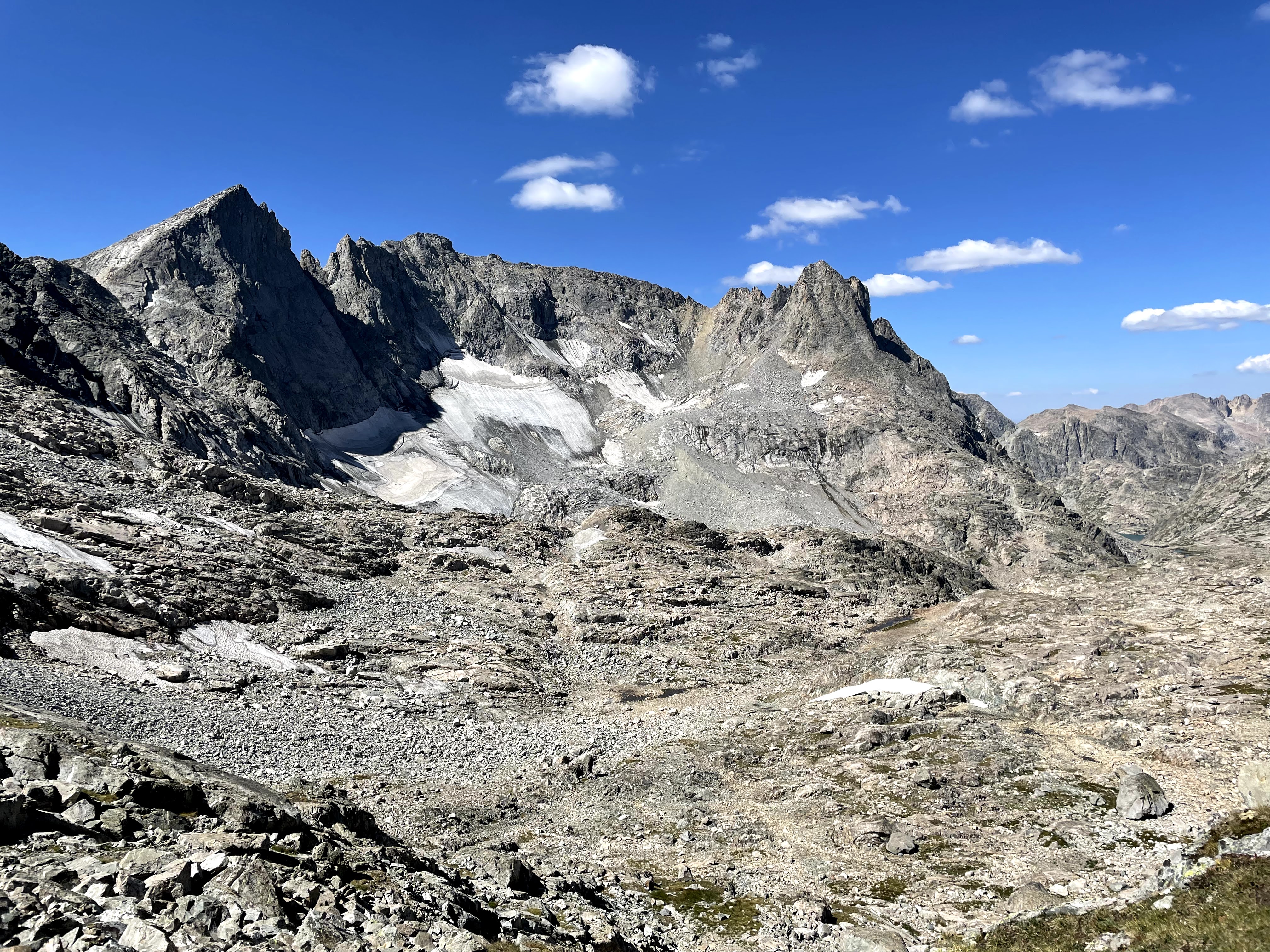

The view into Titcomb Basin from Knapsack Col was an amazing plethora of jagged peaks.


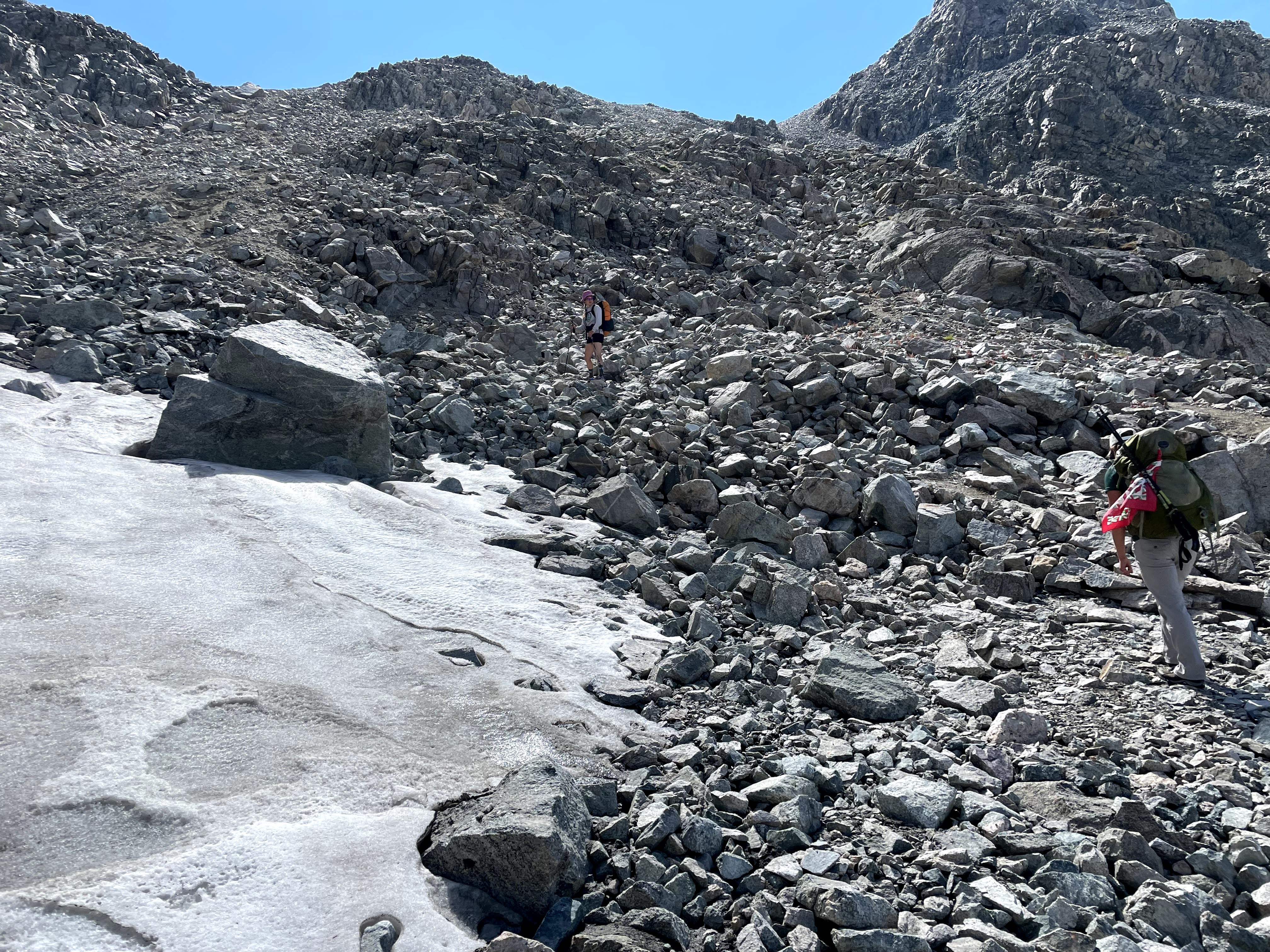
After enjoying the views and eating first lunch, we headed down the loose rock to the base of a snowfield/glacier remnant. I did not like this at all. It was a combo of solid and loose rock that took me forever to navigate. Let’s just say going down boulders is not my forte.
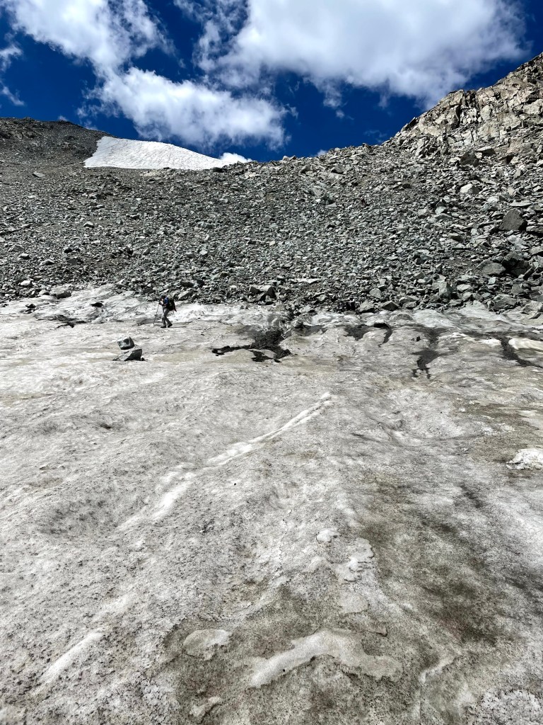
As I do more trekking off-trail, I’ve learned what I can handle and what is super hard for me. Loose rock and kitty litter paralyze me. It makes me appreciate the boulderfields which are relatively stable in comparison.
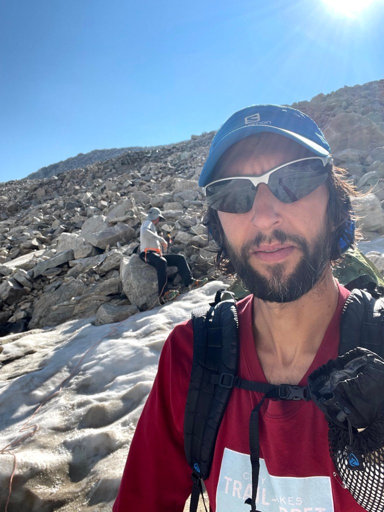
The others got way ahead of me and were down and across the snow before I even reached the snow, frustrating me. Given we had carried our microspikes (for Craig and Eva) and our crampons (for Erik and I) for so long, there was no way I wasn’t about to use them on this snow. I had practiced putting on the crampons back at home but couldn’t remember how I’d done it so they weren’t very tight. By the end of the short snowfield, my crampons were twisted on my shoes. Erik returned to the top, this time to try glissading without his crampons. Unfortunately for him the snow was too suncupped to make for good glissading.
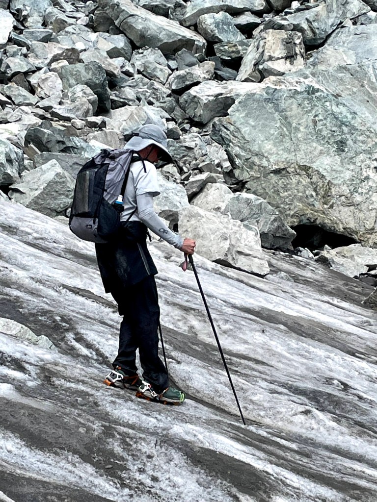
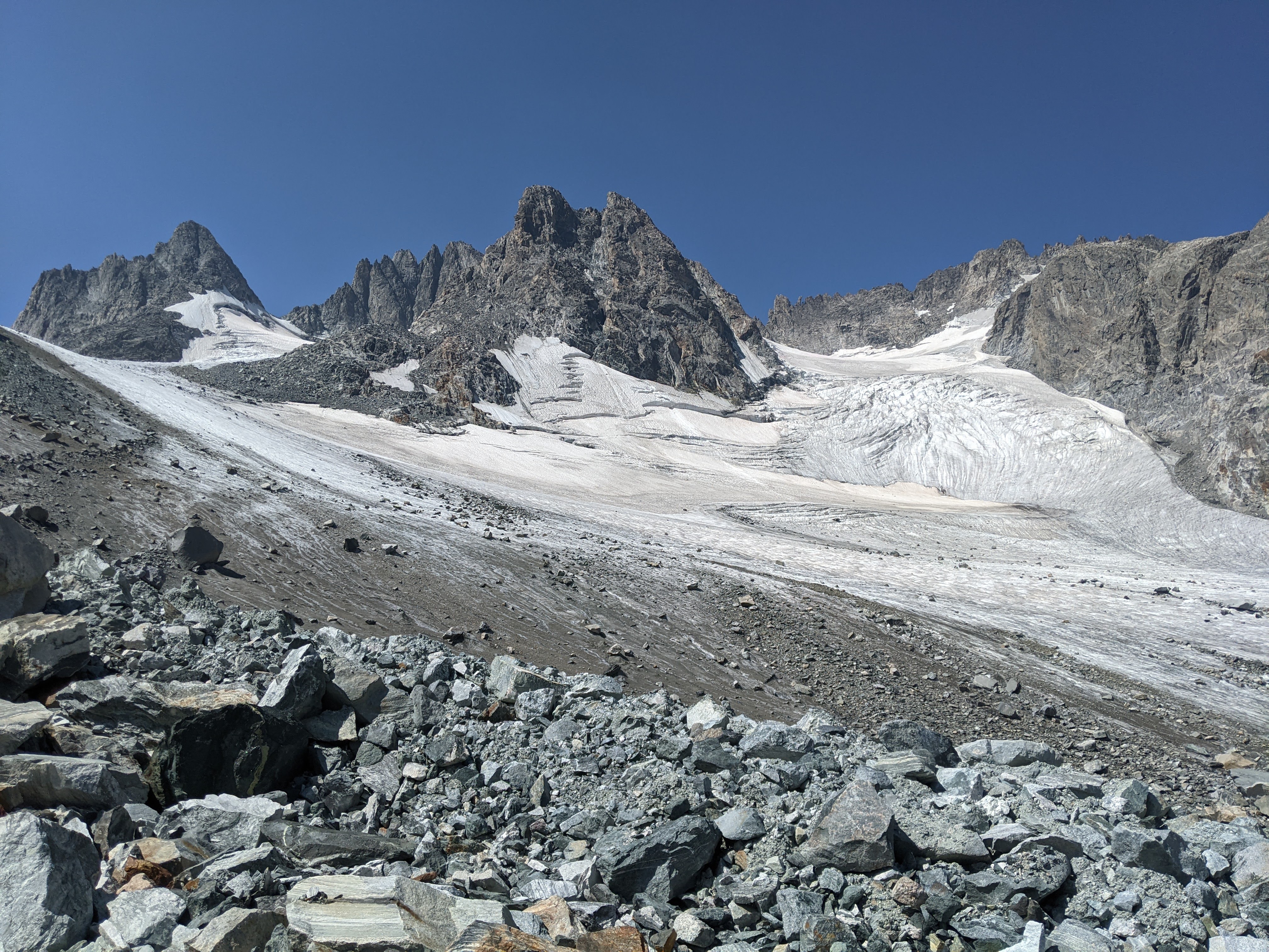
At this point I was pretty angry about my poor down-climbing skills and our lack of glacier travel on the trip despite hauling some glacier gear (harnesses, rope, and crampons/microspikes) and so I declared we go climb up the Twins Glacier to a different pass to get a look at Summer Ice Lake. I took off in that direction, walking on the glacial silt from the mostly melted Twins Glacier- a combo of sand and small rocks. We were still heading downhill but the angle wasn’t very steep so I didn’t mind the sliding.
The others were quite a ways behind me- finally some terrain I could move fast in- and so I stopped to wait for them. When Erik caught up to me he said he didn’t want to climb on the rock-strewn crevassed glacier. He finally convinced me it was a bad idea and I reluctantly gave up on it.
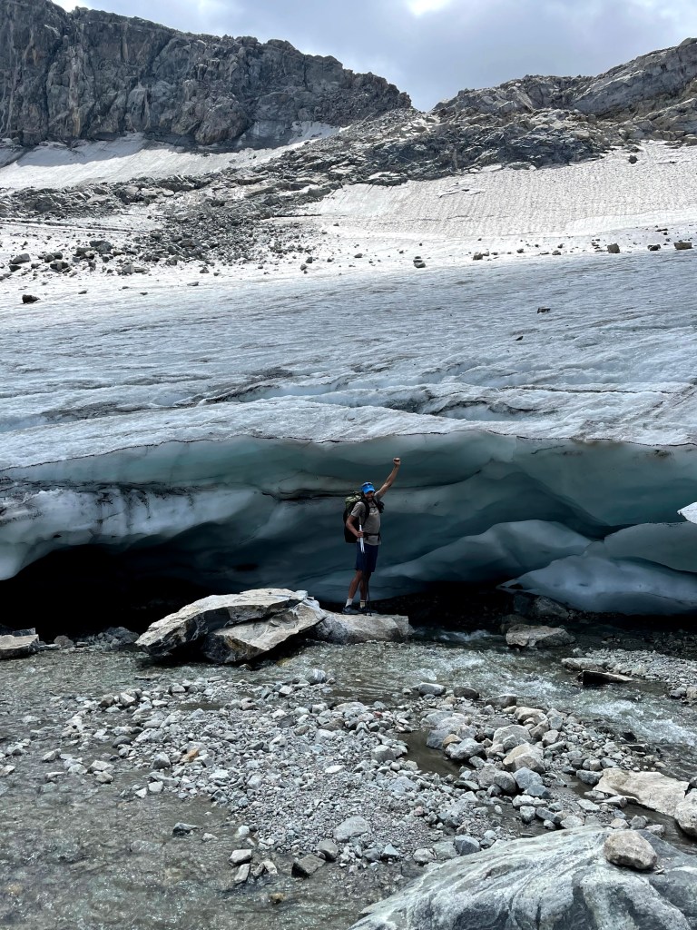
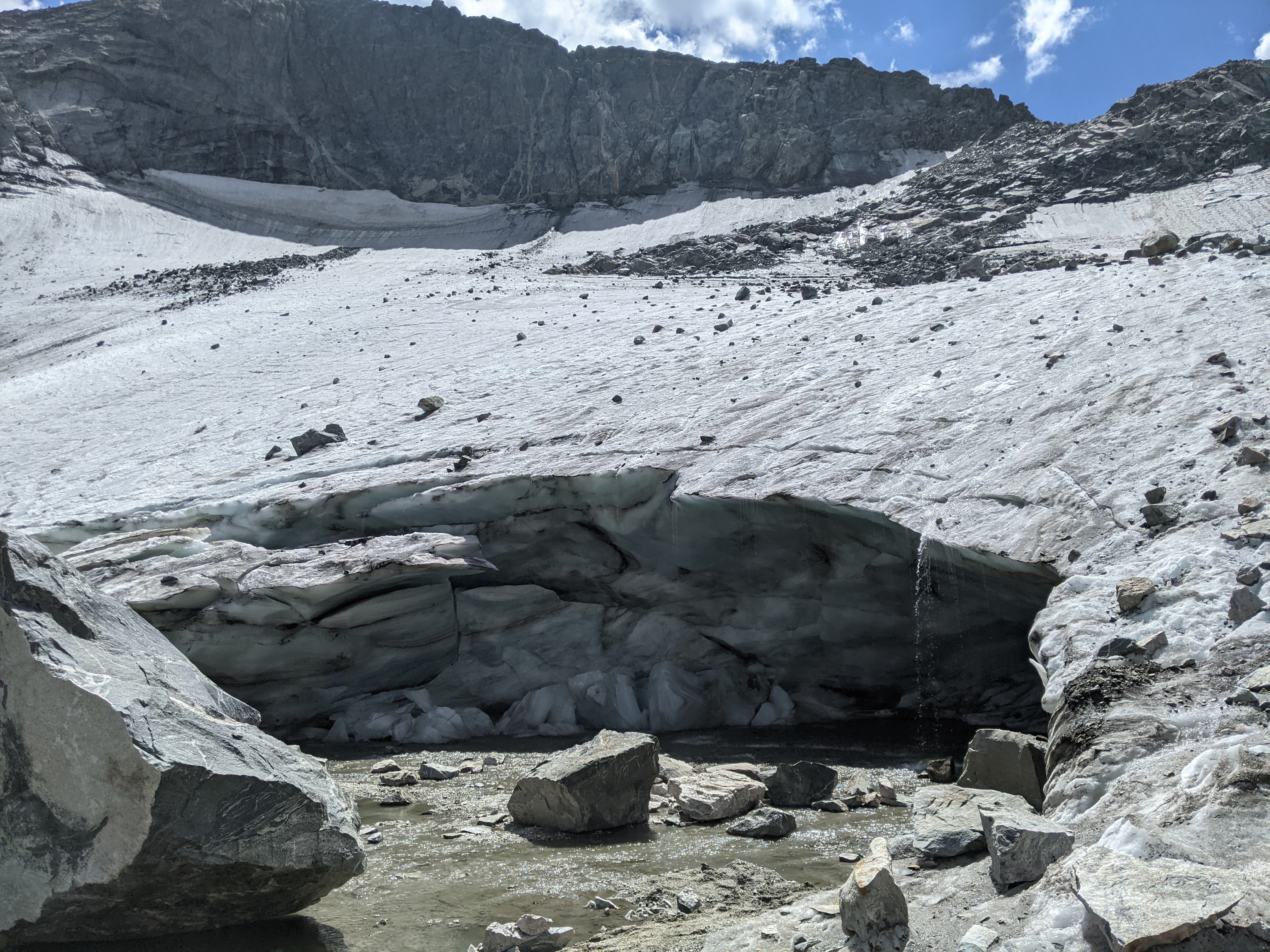
Meanwhile Eva declared we go get close to Twins Glacier so we went right to the base of it where a river from the melting snow farther up streamed pass. The glacier was incredibly thick up close. I crossed the small stream and stood next to the glacier, scared by the giant boulders ten feet up the glacier that could crush me if things shifted just right. We took some photos and Craig, Eva, and Erik stood under the glacier but I wasn’t quite that brave, especially seeing as there was a crevasse going across this whole section. That glacier was just melting like crazy.
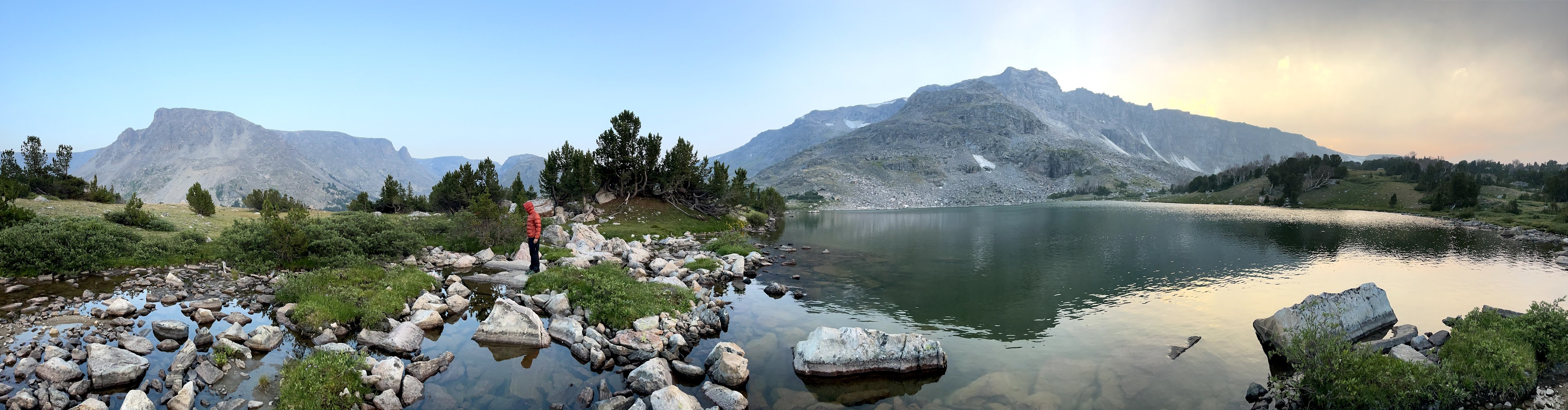
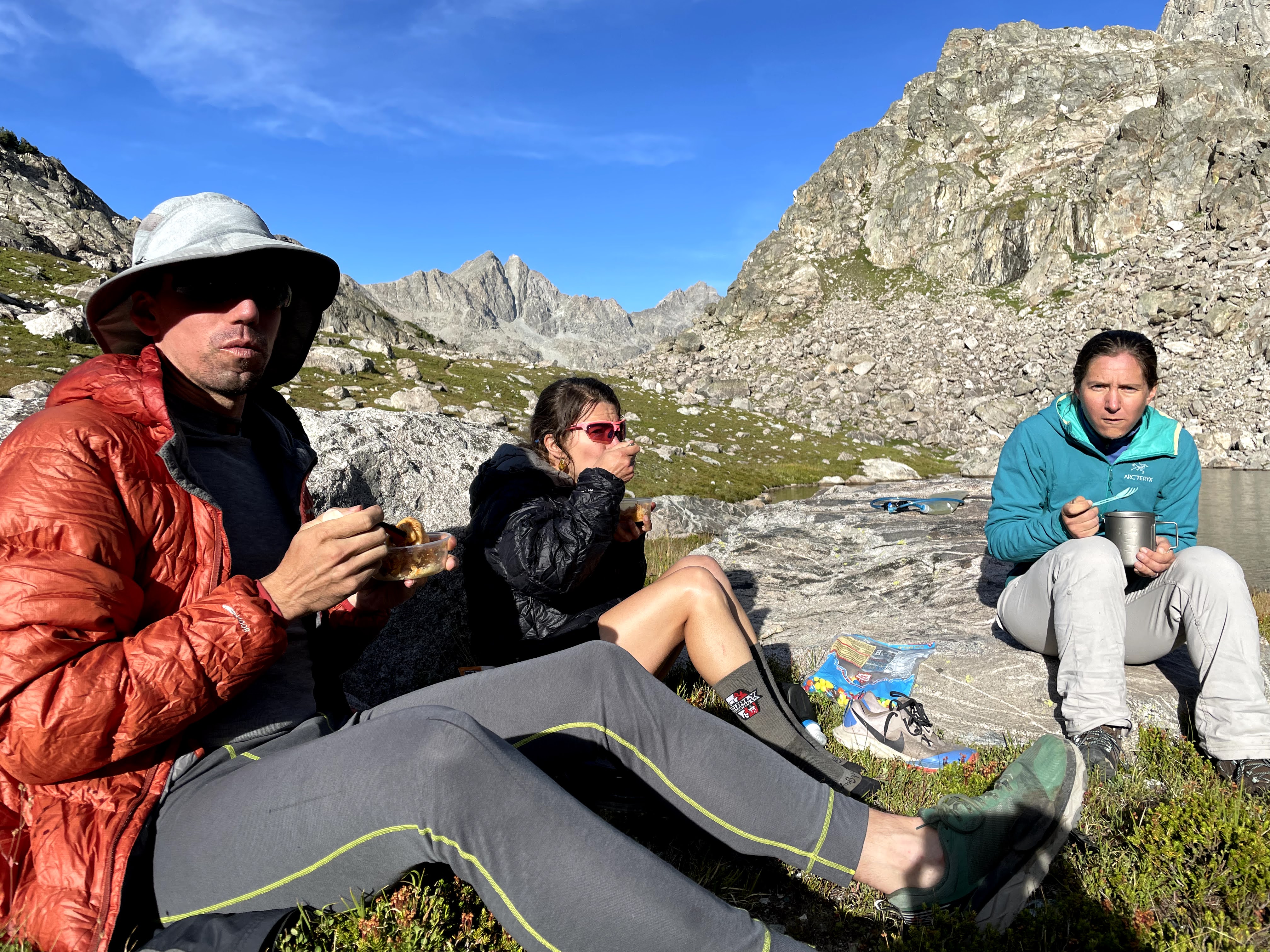
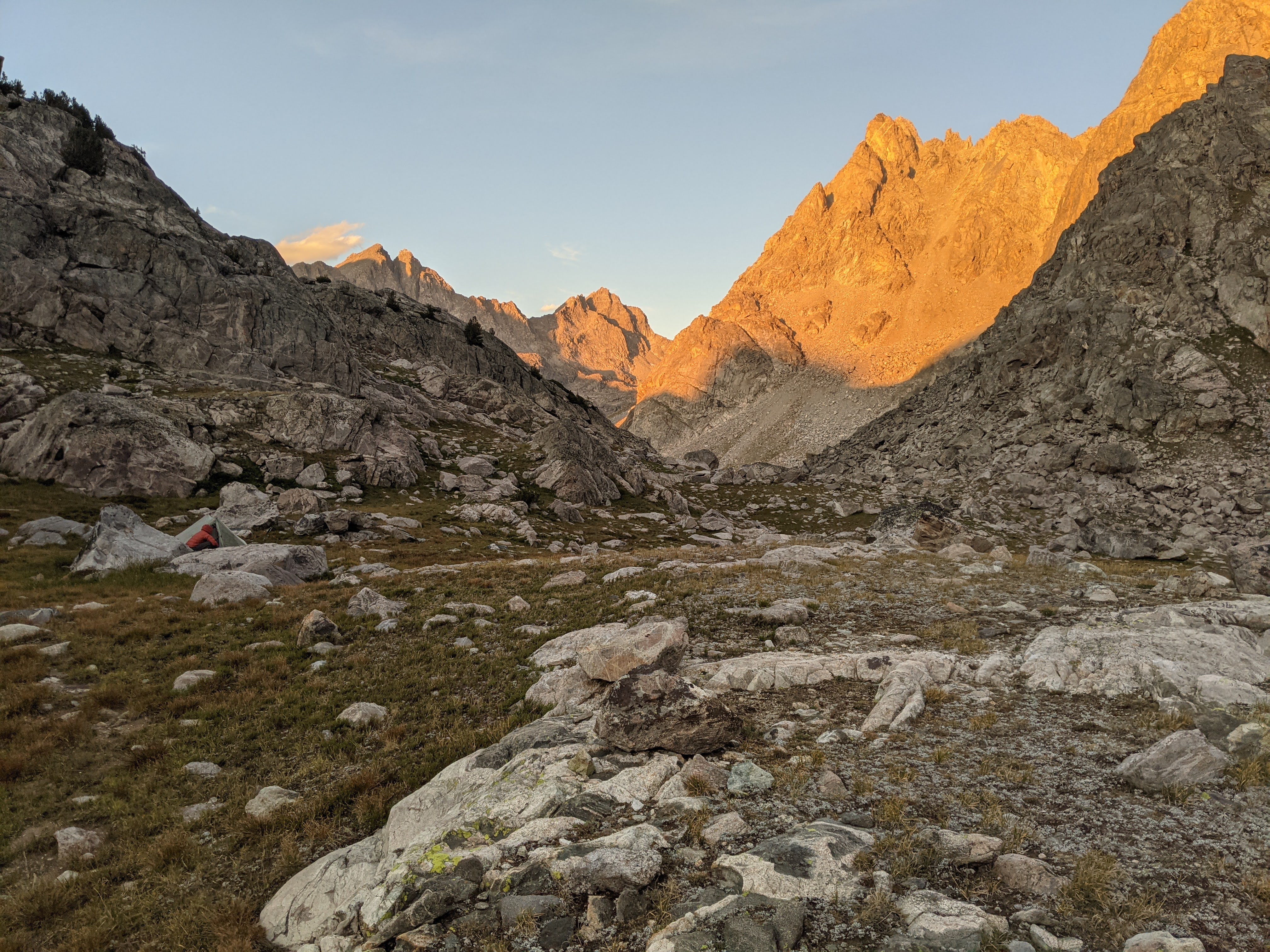
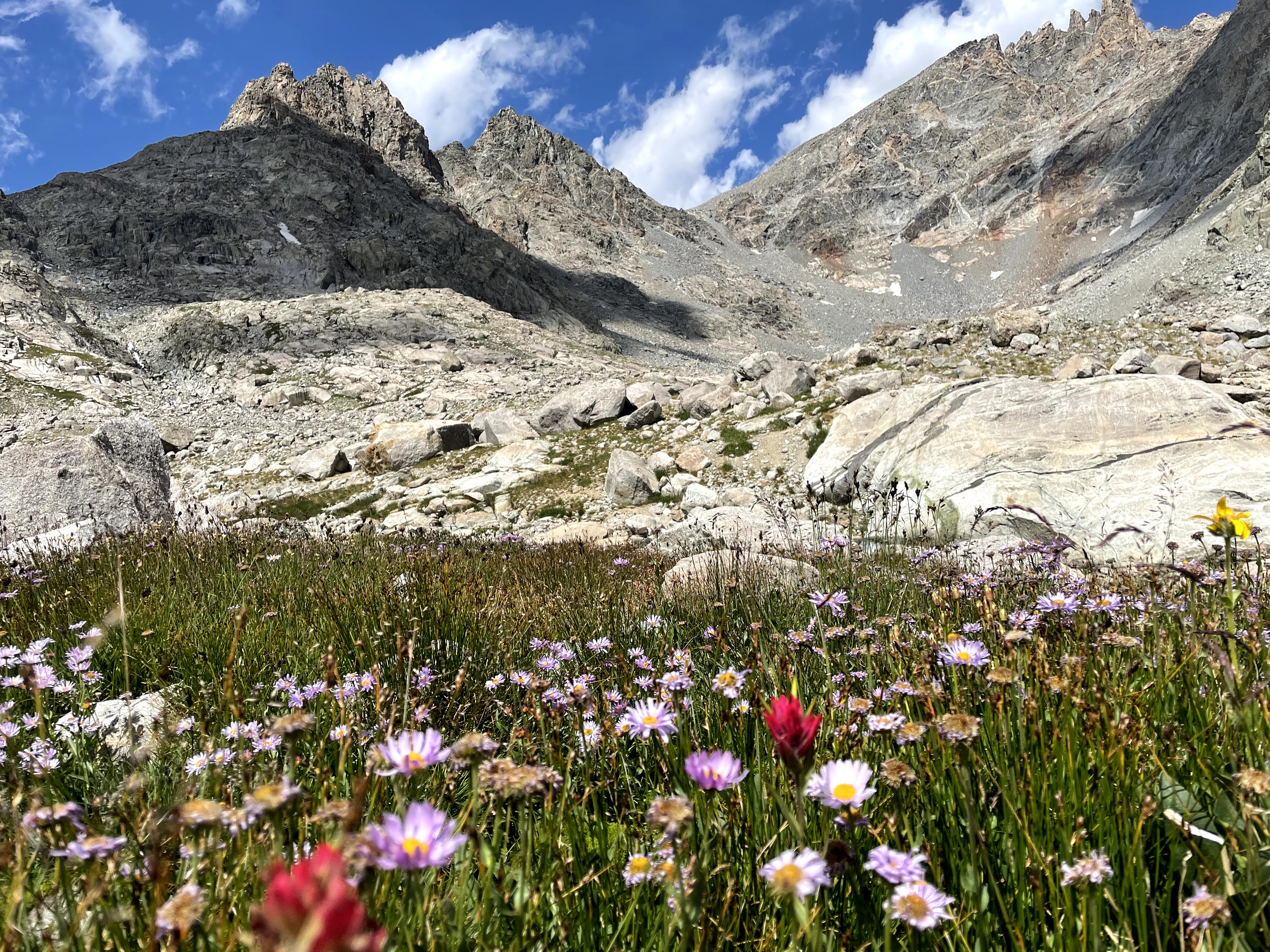
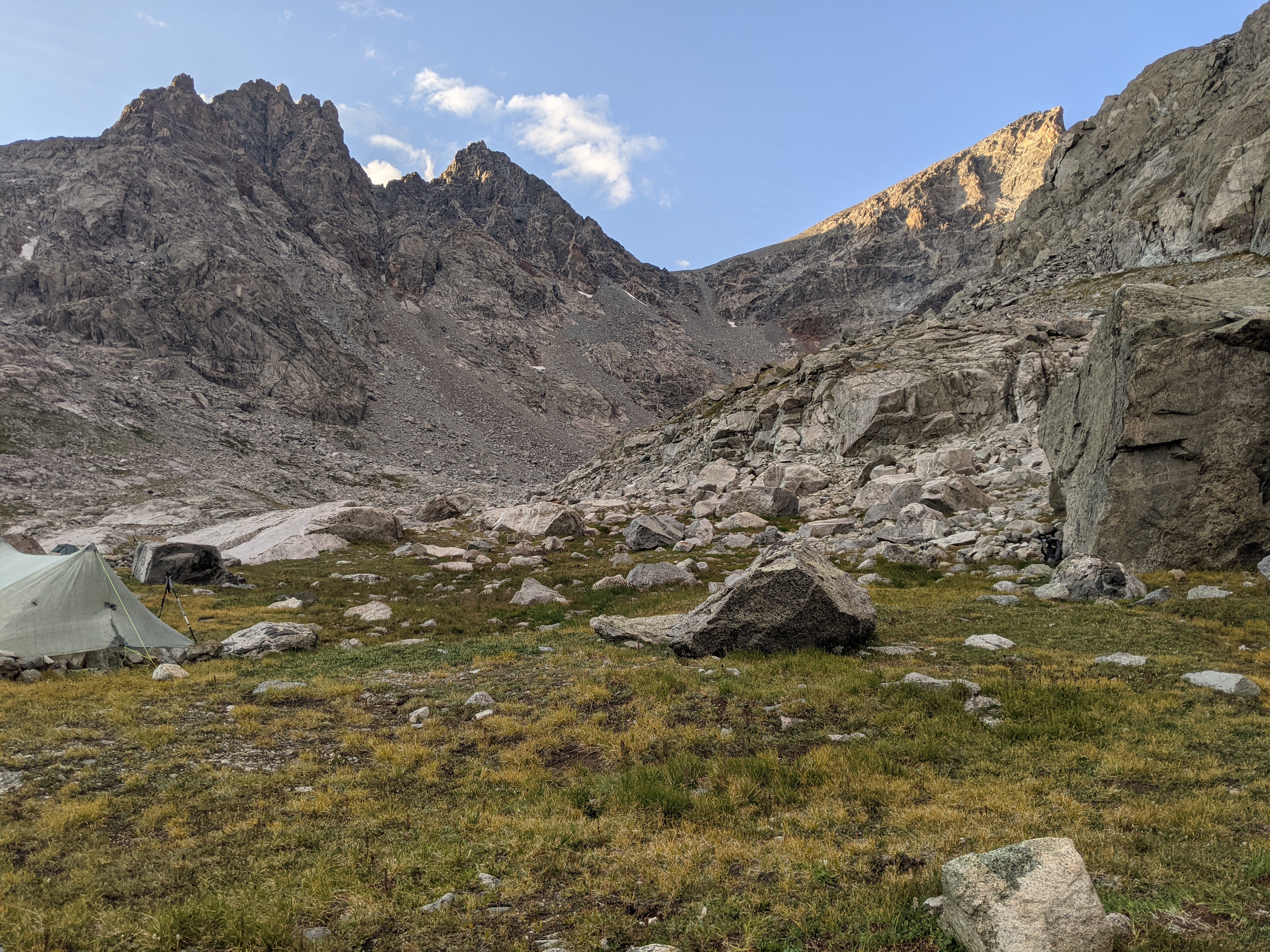
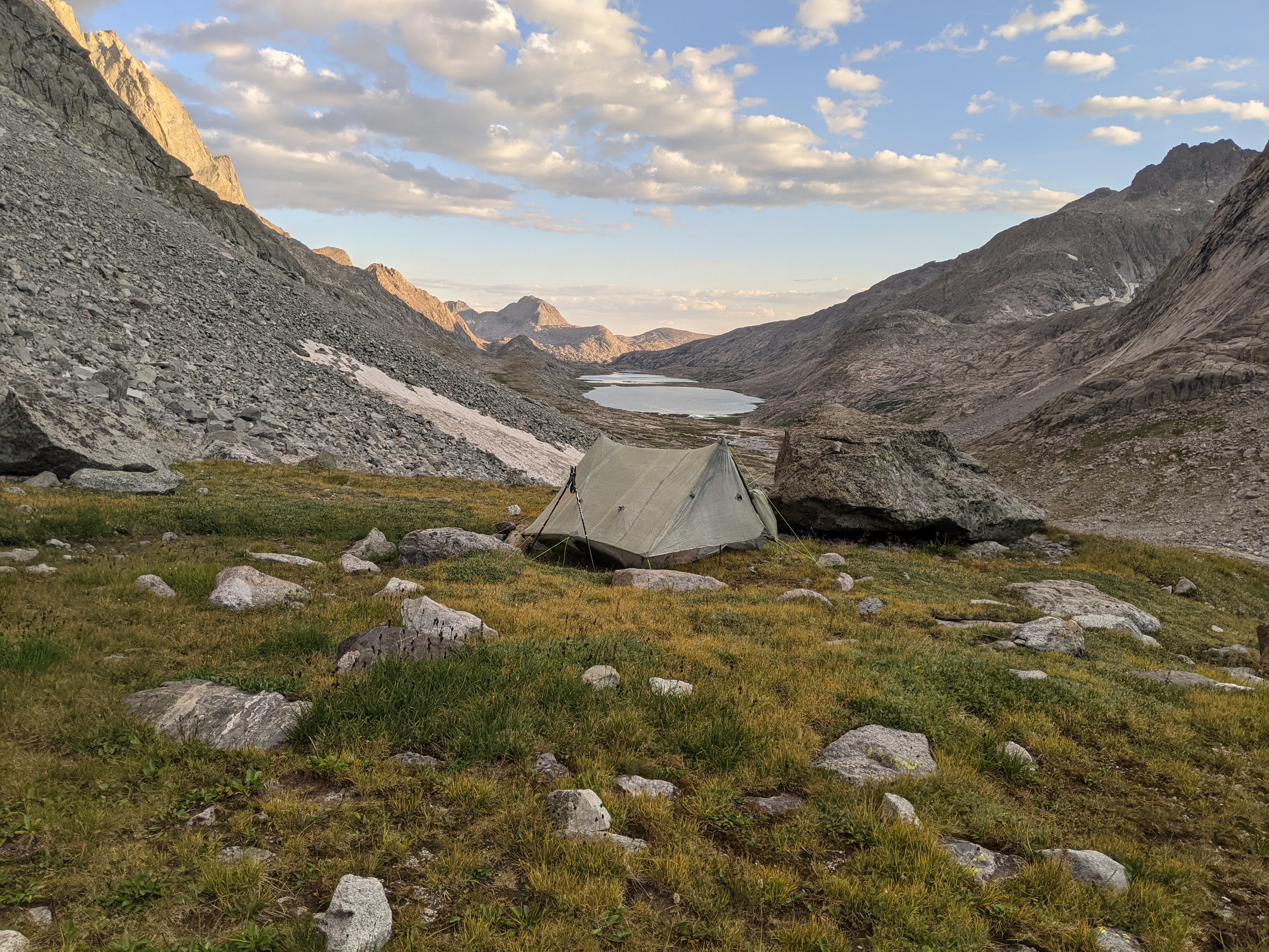
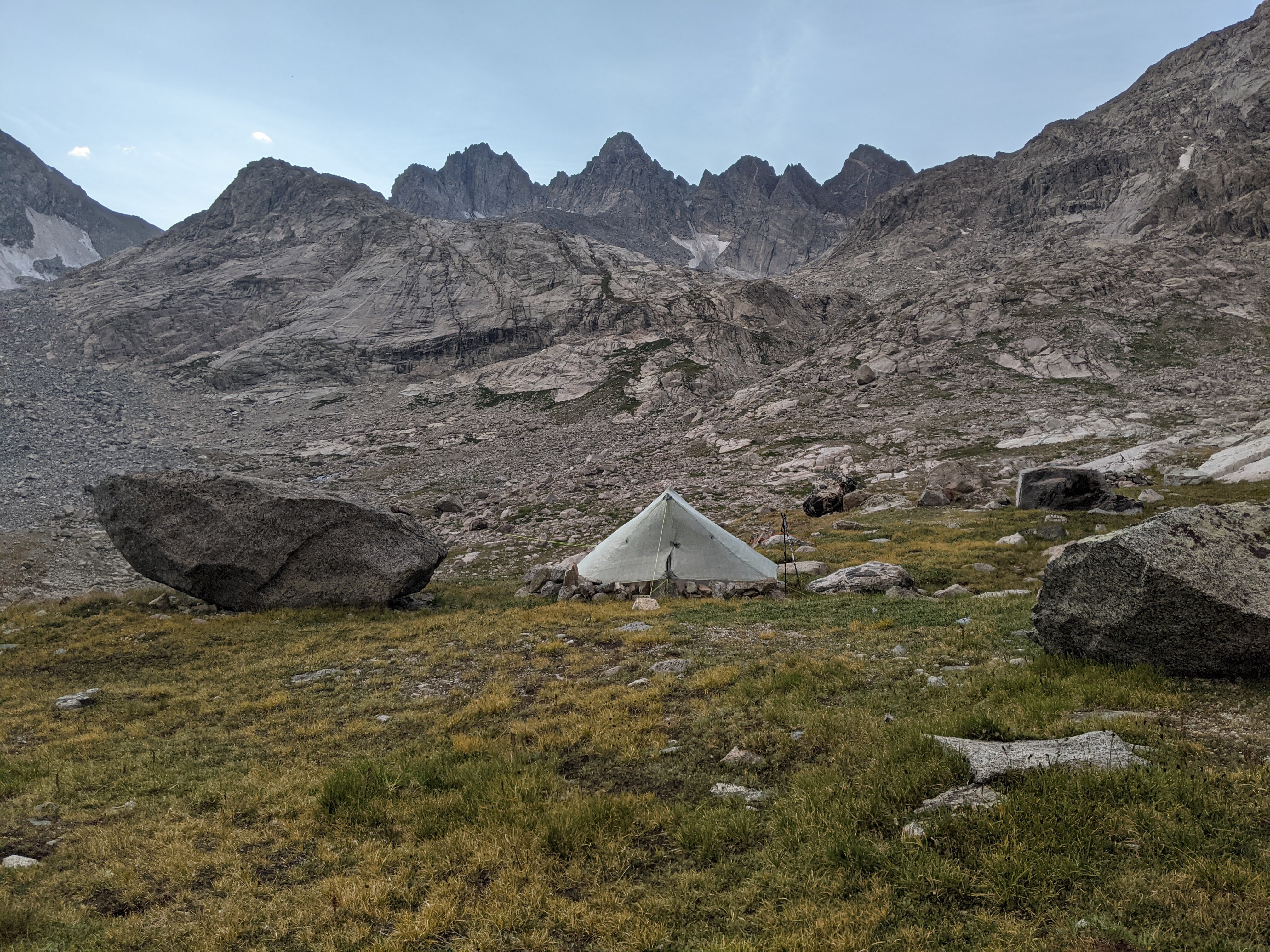
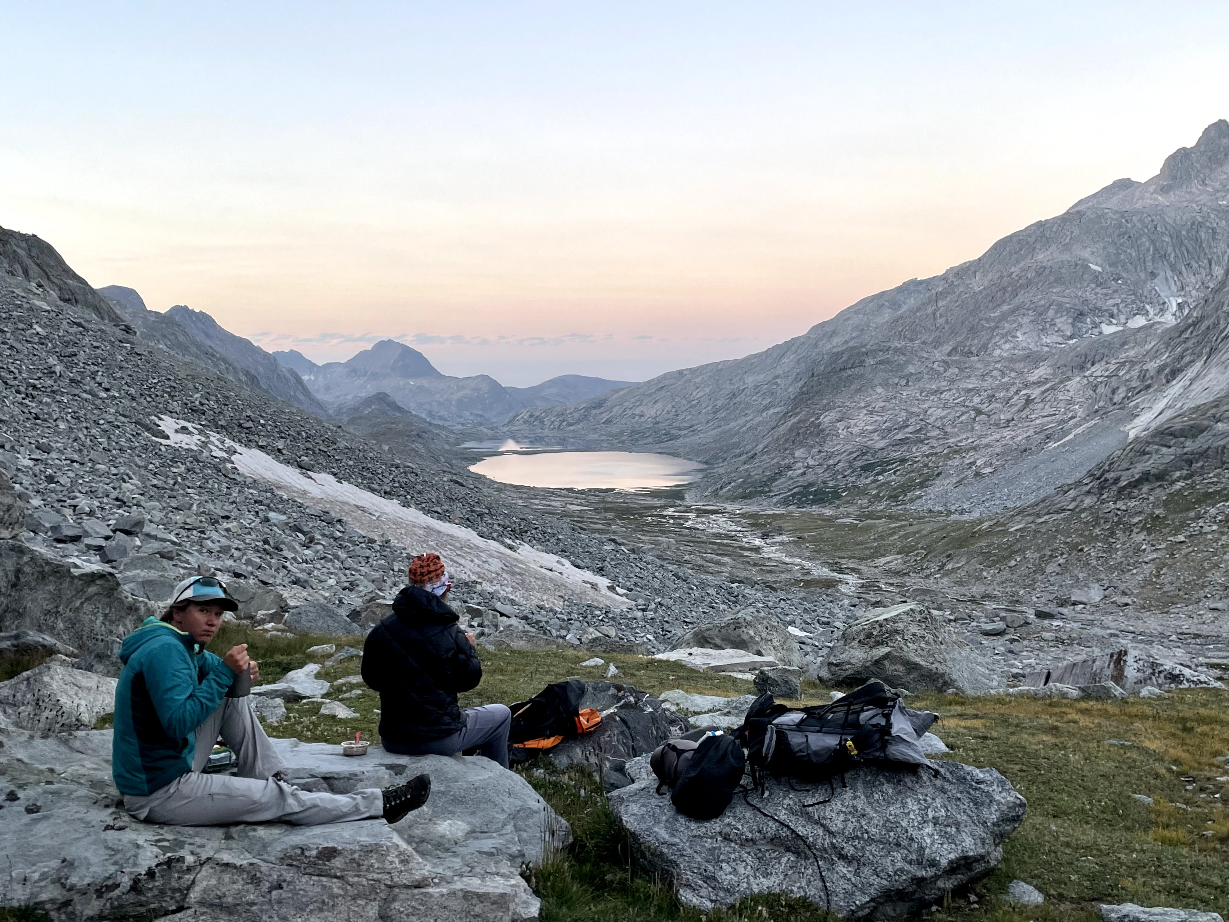
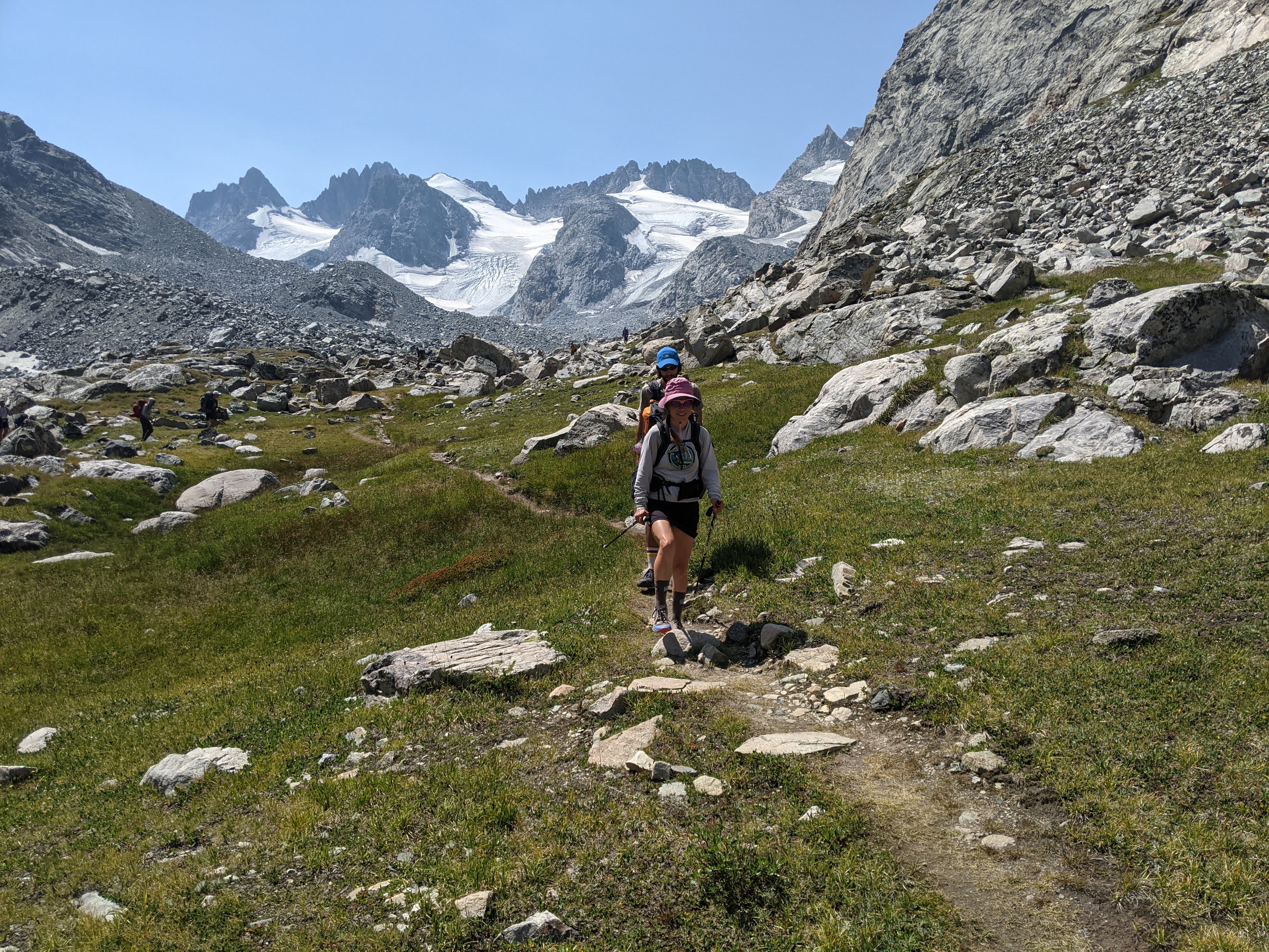
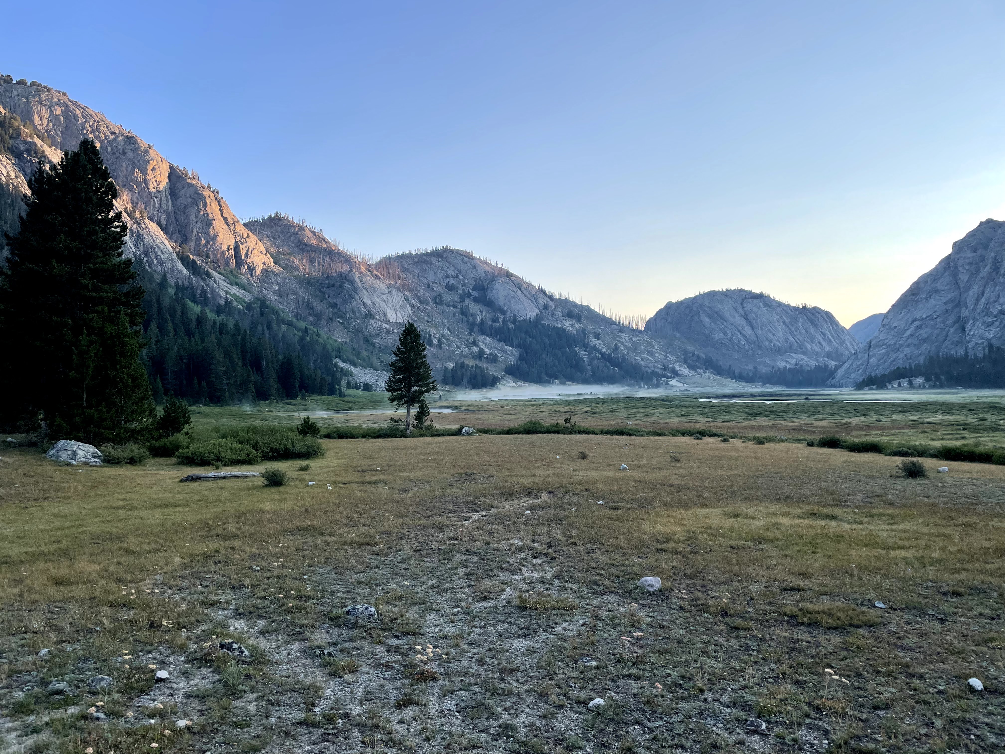
Next we began looking for a campsite in the upper Titcomb Basin. Mostly we were amongst rocks but we scouted a few grassy areas and went to check them out. After crossing both rivers, we found a small but reasonable grassy area big enough for two tent pads. There was a spot farther down the valley Erik really wanted to see and another one higher up that Craig had been eyeing. Meanwhile Eva and I stayed put. Craig returned saying his spot was well-established and even included a wind protected “kitchen” behind a giant boulder. It didn’t matter what Erik found- his site was too wet anyway- we moved up to Craig’s. It was a nice grassy area with the best campsite view of our trip, and there were lots of contenders! The only downside to the site was the water access which was a decent ways away over some small boulders but worth it for the view.

From this site we had a great view of Bonney Pass on the Continental Divide- a must unless we back-tracked our last five days of hiking. I knew from my calculations that Bonney was steep but from this angle it looked impossibly so with a bunch of loose stuff in a chute. Now I worried that this clutch pass would be too difficult for us. I mean, that’s partly why I picked it for so late in the trip- so we would have no choice- but that was also part of the problem.
We saw a couple people hiking above us who looked like they had come down from Bonney Pass; Erik and I hiked up to get some beta from them. We found them at their campsite. They were two guys, one about our age and one age 62 from Salt Lake City who had attempted Gannett but fell short owing to a difficult Bonney Pass and slow movement on the glacier. By 11 am they weren’t where they wanted to be and so had began the return to camp. They told us not to worry about Bonney Pass. We chatted with them for quite awhile before returning to camp.
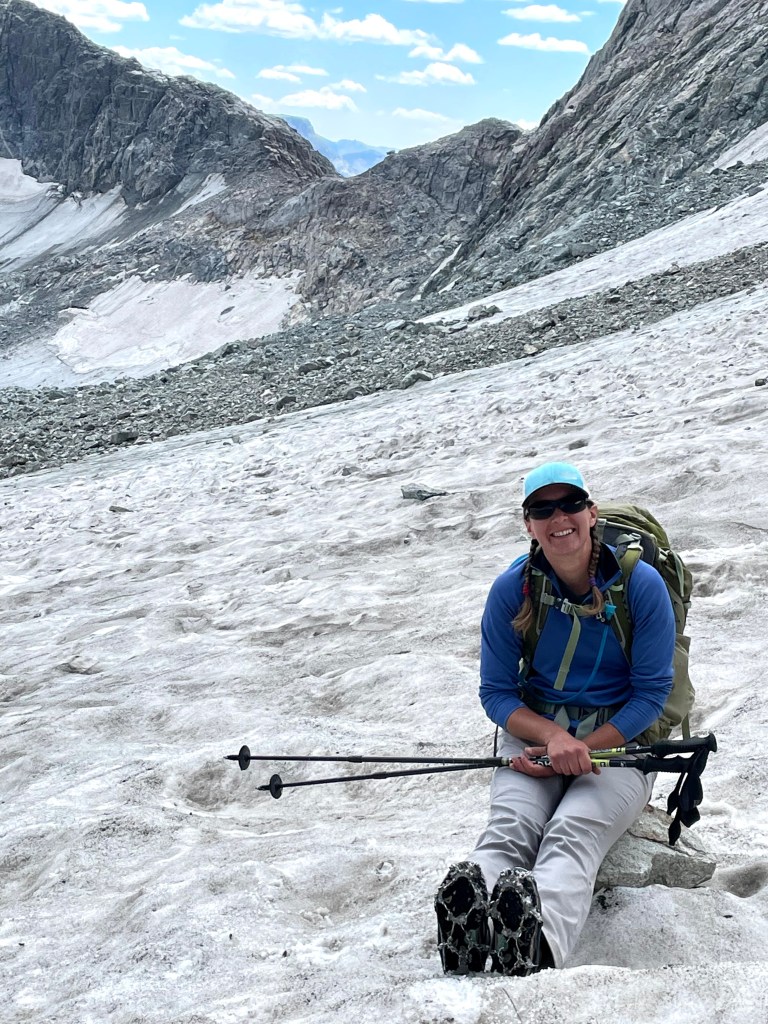
For dinner we had curry sauce with angel hair pasta and enjoyed the view while a few pesky mosquitoes bothered us. The North Winds definitely have some high altitude mosquitoes! After dinner Erik and I practiced putting on our crampons again and I even walked around camp in them on the nice alpine grass. We also all got in our harnesses and clipped into the rope to prepare for the next day’s glacier traverse and Eva, our lead, practiced self rescue with the ascender should she fall into a crevasse.

Then it was time to say goodnight to our great views and get into the tent, although I kept part of our door open so I could fall asleep to some 13,000 foot mountains. Around midnight the wind began gusting and we had to get out and tighten the tent and close the door. But then just as quickly as it came up, the wind died down and we all slept well, doing what those guys had said, not worrying about Bonney.
Day Six (8/13/21): Base of Mount Helen in the Titcomb Basin to Big Meadows on Dinwoody Creek
We woke to more mild temps (45 degrees) and clear skies. Knowing we had a long day ahead of us, we ate breakfast and packed up camp efficiently.
The Salt Lake City guys said it had taken them three hours to climb Bonney Pass. Assuming we were slower than them, we figured it would take us four hours. We took a few breather breaks as we began climbing but once we hit the steep part of the ascent, we all ended up spreading out and mostly finding stable boulders. Only a couple times did I have boulders move on me and then by moving carefully they only slid a tad and I could find more solid boulders. None of us rained down any rocks.

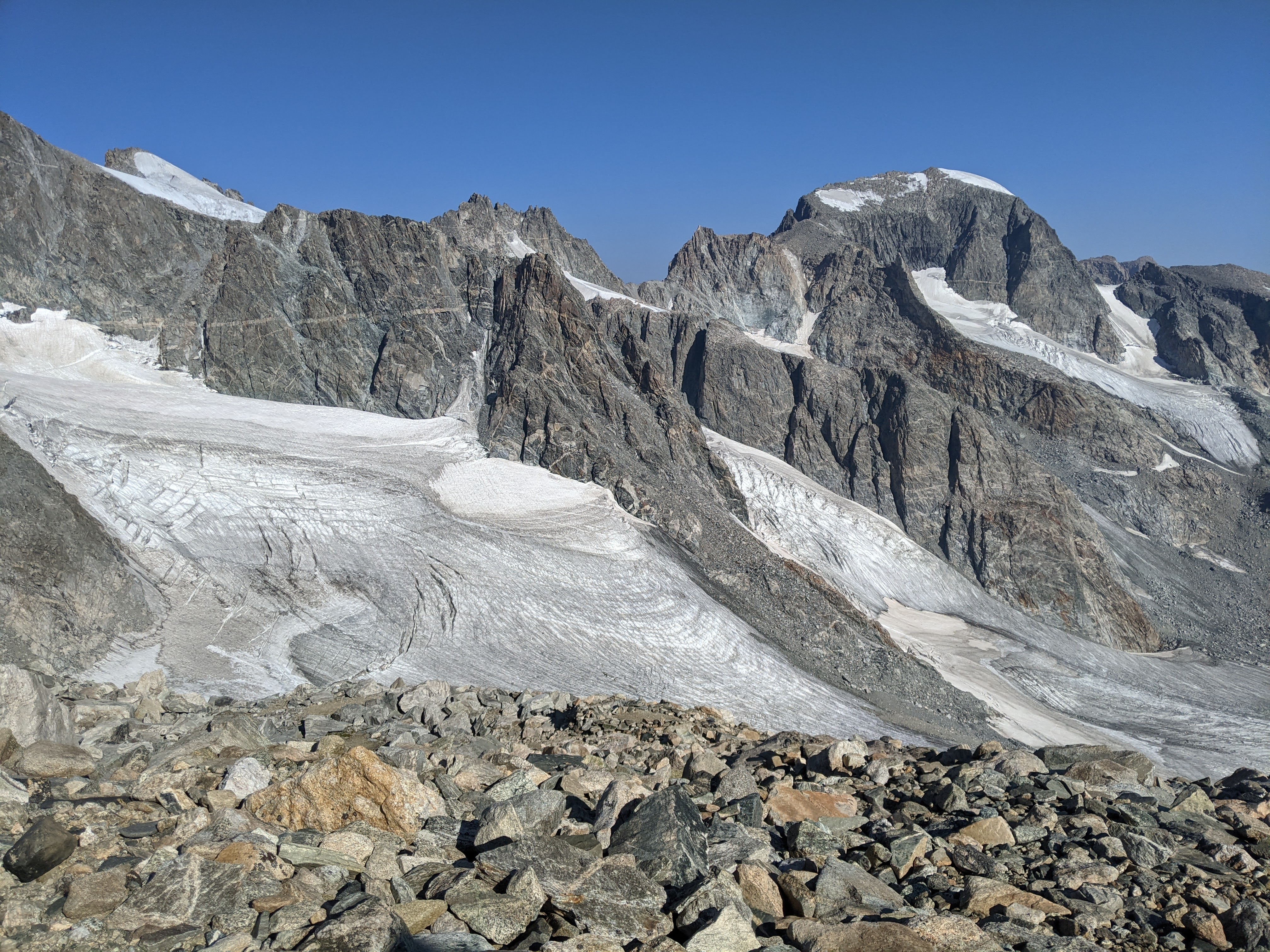
After a mere two hours we crested the summit on Bonney Pass for our first views of Gannett Peak and Dinwoody Glacier.
We didn’t spend too much time on the col and soon were heading down the north side of Bonney which was much less steep than the south side. There was a bit of a trail and even though there was some loose stuff, I wasn’t too slow.
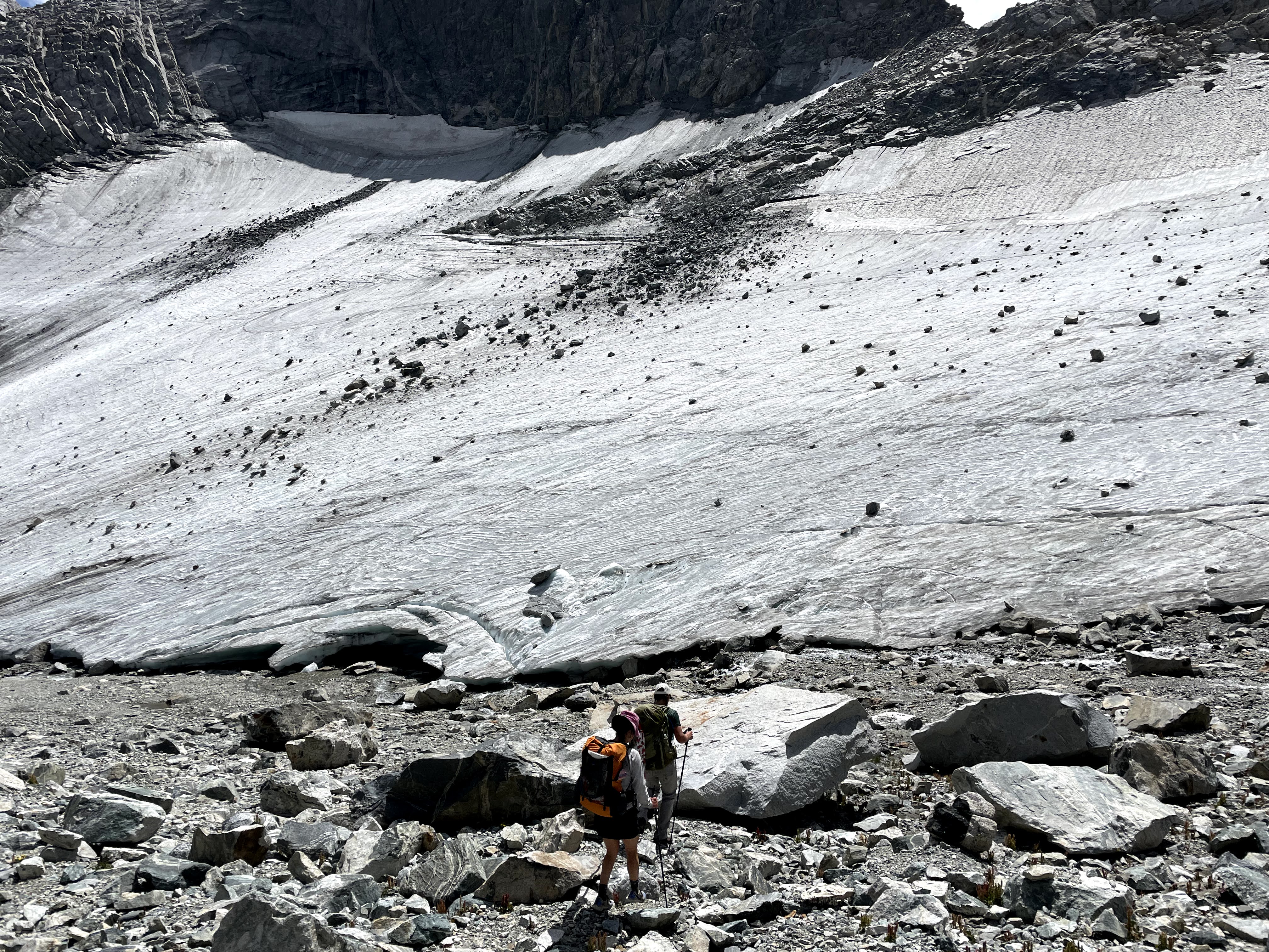
Then it was time to get out on Dinwoody Glacier. I’d been waiting for this since we decided on this trip. We put on our harnesses and one-by-one in our predetermined order (Eva, then me, then Craig, then Erik) we started out on the glacier. The first part was steep, but then it leveled out. The snow was icy, dirty, and the farther down we got, the more water running on top of the glacier. It seemed there was more water running to our left (nearer the divide to our west) and water running under the glacier, too.
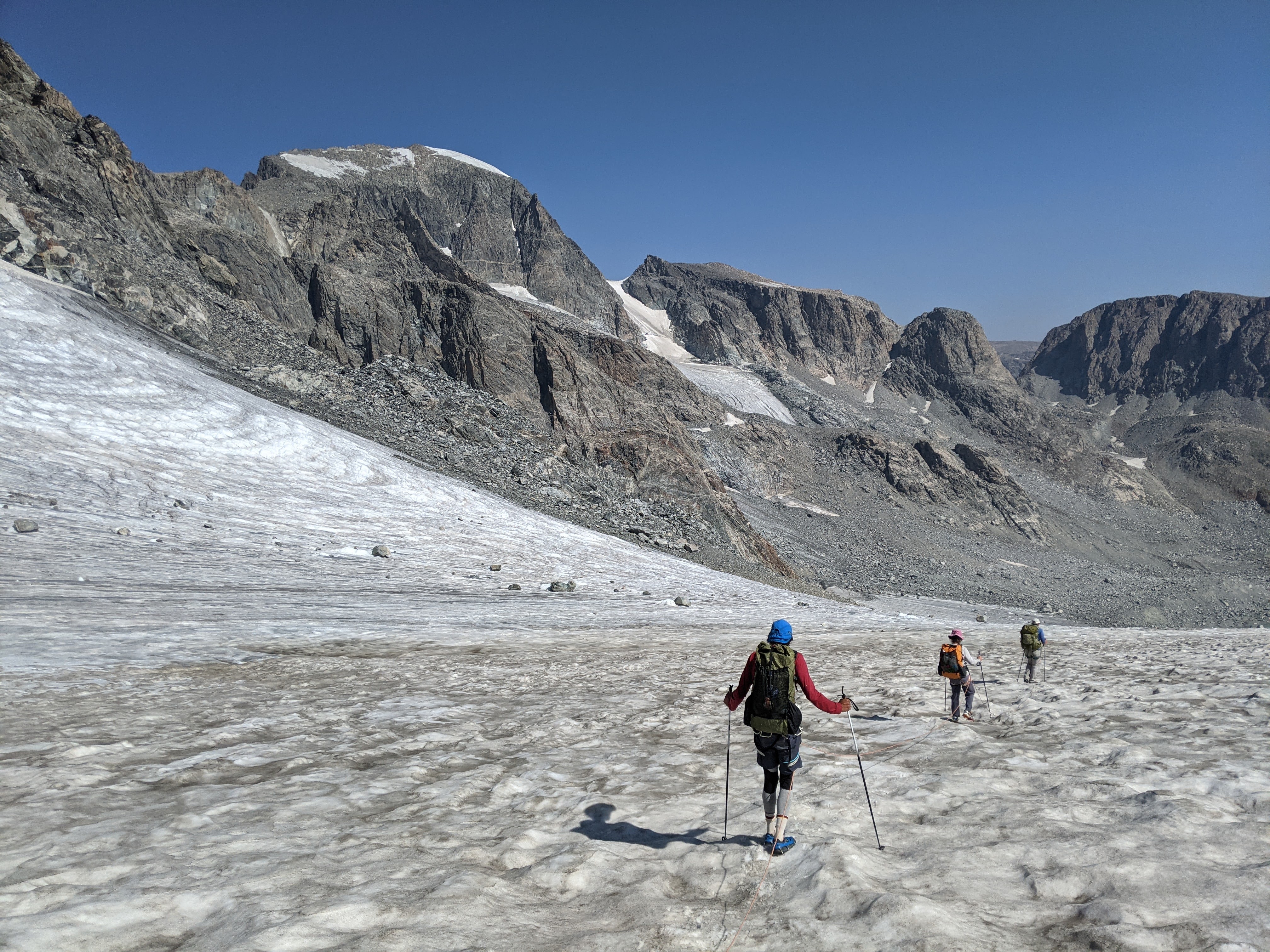

We stopped a couple times to take in the view. It got steeper again near the bottom. Craig and Eva said their microspikes did well. Our crampons were a bit overkill. As we neared the bottom of the glacier, the snow was so dirty it was difficult to determine if we were on dirt or glacier. It was almost like frozen dirt. Just above a couple new glacier lakes we got off the glacier and stopped for first lunch.
From here we could see most of the Dinwoody Glacier whose shape I would describe as a hand, only the entire palm was melted. Owing to a low snow year and climate change, I couldn’t help but think we were seeing this glacier at its lowest volume, at least since the last ice age. We got off the glacier much before our map indicated we would and as we continued on, this meant more boulderfield.


Meanwhile, Erik was become more and more ill with a GI bug. He had felt the rumblings of this at breakfast but hadn’t told us until after first lunch. Before we got to the end of the boulderfield he was puking.
Fortunately we were near the end of the boulderfield. We distributed most of the weight from Erik’s pack among the other three of us and after vomiting Erik felt better. Soon we were on trail but it was hot and as we moved farther and farther along, Erik got slower and slower. He was having some bad abdominal cramps. Despite Erik’s sickness, we made relatively good time, stopping for second lunch when we were back in the trees.
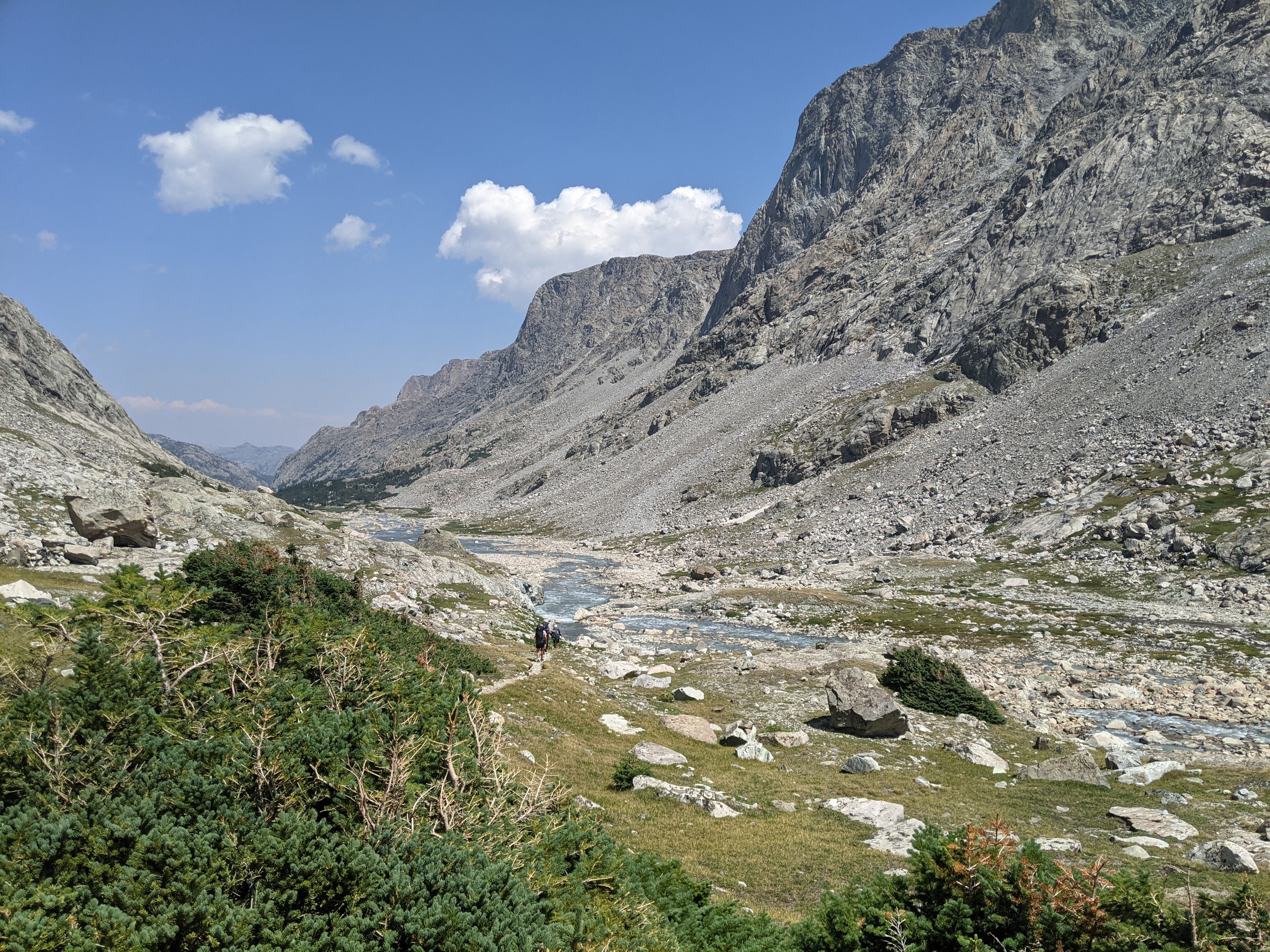

Then we came to the Gannett Creek crossing and it was a doozy. Where the trail crossed the creek was deep and narrow and rushing like crazy. I put my pole in near shore and it was at least two feet deep. Obviously not super deep but because the current was going so fast, it looked unsafe. We scouted around a bit and discovered a bushwacked trail farther upstream. We headed up that way and found where the creek branched and we were able to get across although we still got our feet a bit wet and had to cross the creek four or five times before we were all the way across.
I had elected to take off my socks and insoles and now kept walking in just my wet shoes, especially because we had a few more creek crossings. Indeed, the trail crossed Dinwoody Creek and then back again so we could walk through the Floyd Wilson Meadows. How annoying. Then we had a wide stream crossing at the Klondike Creek. All this time I’d just been hiking sock-less and insert-less in my shoes. Finally my feet were hurting enough that I looked down and saw a bloody spot under my left lateral malleolus. That finally got me to put on some athletic tape over the area.
Despite feeling bad, Erik decided he would walk until 6 pm. This was partly because everything we walked today was less we’d have to walk tomorrow on our final day. And of course, I’d planned another long day. So we kept going, Erik occasionally standing still when he had a bad wave of abdominal cramps until we got almost to the The Big Meadows after the Ink Wells Trail came in. Unfortunately we didn’t quite get to the meadow and so instead we had our worst campsite of the trip entirely in the forest. Across the river was a big horse camp so at least if Erik got worse we could go there for help.
Erik was at least able to keep down water. Eva had also brought some Swedish fish along and Erik tried a couple of these. He got in the tent and laid down while the rest of us cooked and ate dinner and then tried playing Craig’s backpack dice game that we invented on our last trip together in the Beartooth’s. And then it was bedtime.
Day Seven (8/14/21): Almost Big Meadows to Glacier Creek Trailhead
In the morning Erik was feeling better so we broke camp and began hiking prior to breakfast. We enjoyed our stroll through the Big Meadows while Erik slowly ate up the rest of the Swedish fish.
The signs at our trailhead indicated the bridge was out over Downs Fork Creek but when we got there we found a brand new sign that pointed towards a newly cut trail upstream to a new bridge. It had an accompanying map which Erik noted the scale was 100% and thought the new bridge would be a bit of a detour but we decided to check it out anyway.
The new bridge was quite a ways upstream and to keep our feet dry added on nearly a mile. They had hauled in treated lumber and cement to build that bridge. It was quite the heavy piece of work and I thought it smelled bad. We decided to stop here for breakfast.
Soon we were climbing again to Honeymoon Lake (no obvious good camping there). At the base of the climb we came upon an older guy and Erik stopped to ask him about the Old versus New Glacier Trail. The mosquitoes swarmed and I took off, hiking very fast and sometimes even running uphill until I’d climbed high enough away from those buggers. This made the climb to Honeymoon Lake go by really quickly.
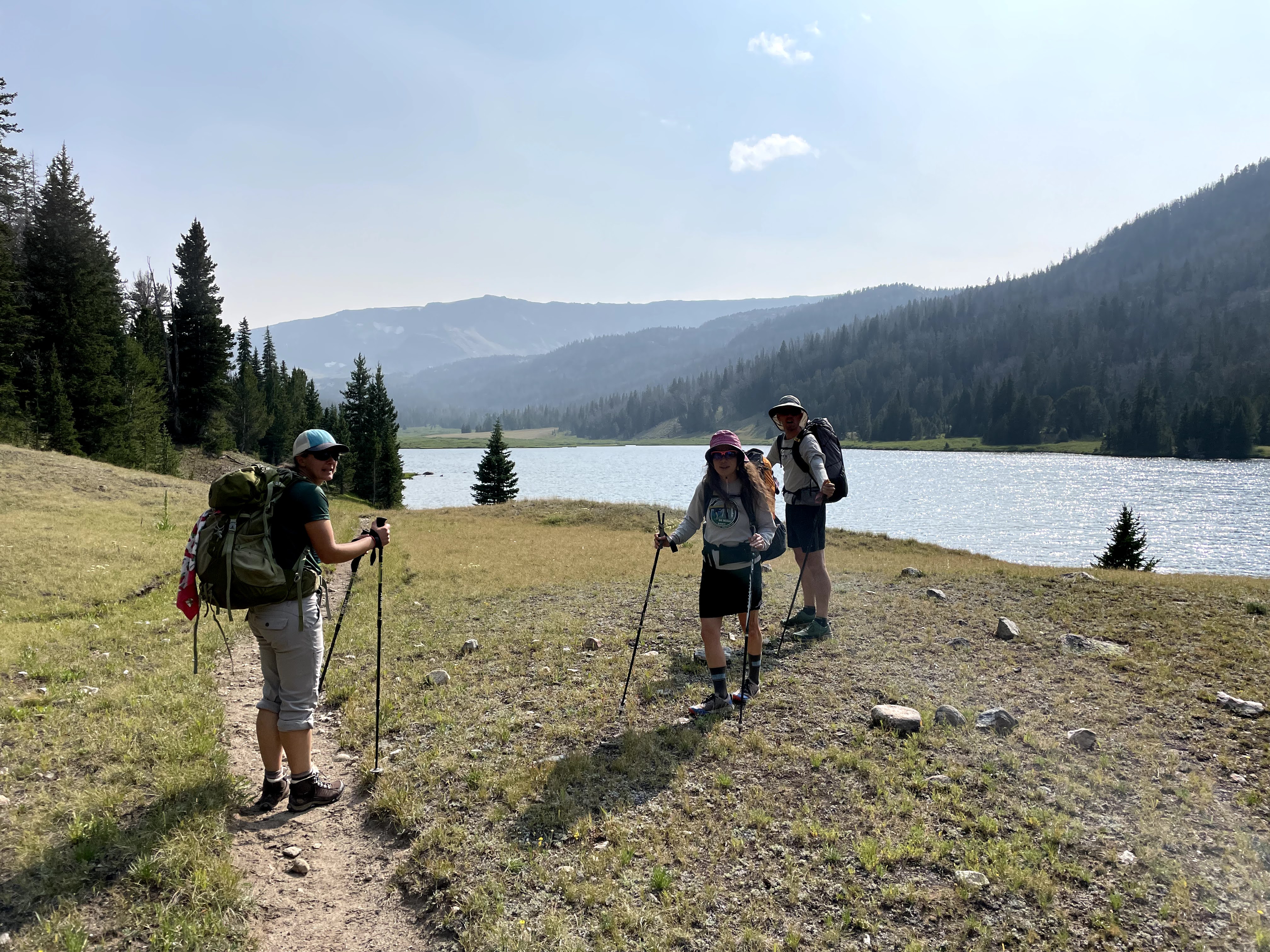
At Honeymoon Lake we got overtaken by a couple guys. Craig took off and started talking with them. I decided to follow suit. It ended up that these guys were cross-country skiers from Mora, Minnesota and we had several people in common. They, along with two others in their party, had also tried to summit Gannett but didn’t make it. We talked with them all the way to Double Lake, apparently missing some spectacular scenery and good campsites at Star Lake. We finally stopped for first lunch at Double Lake.
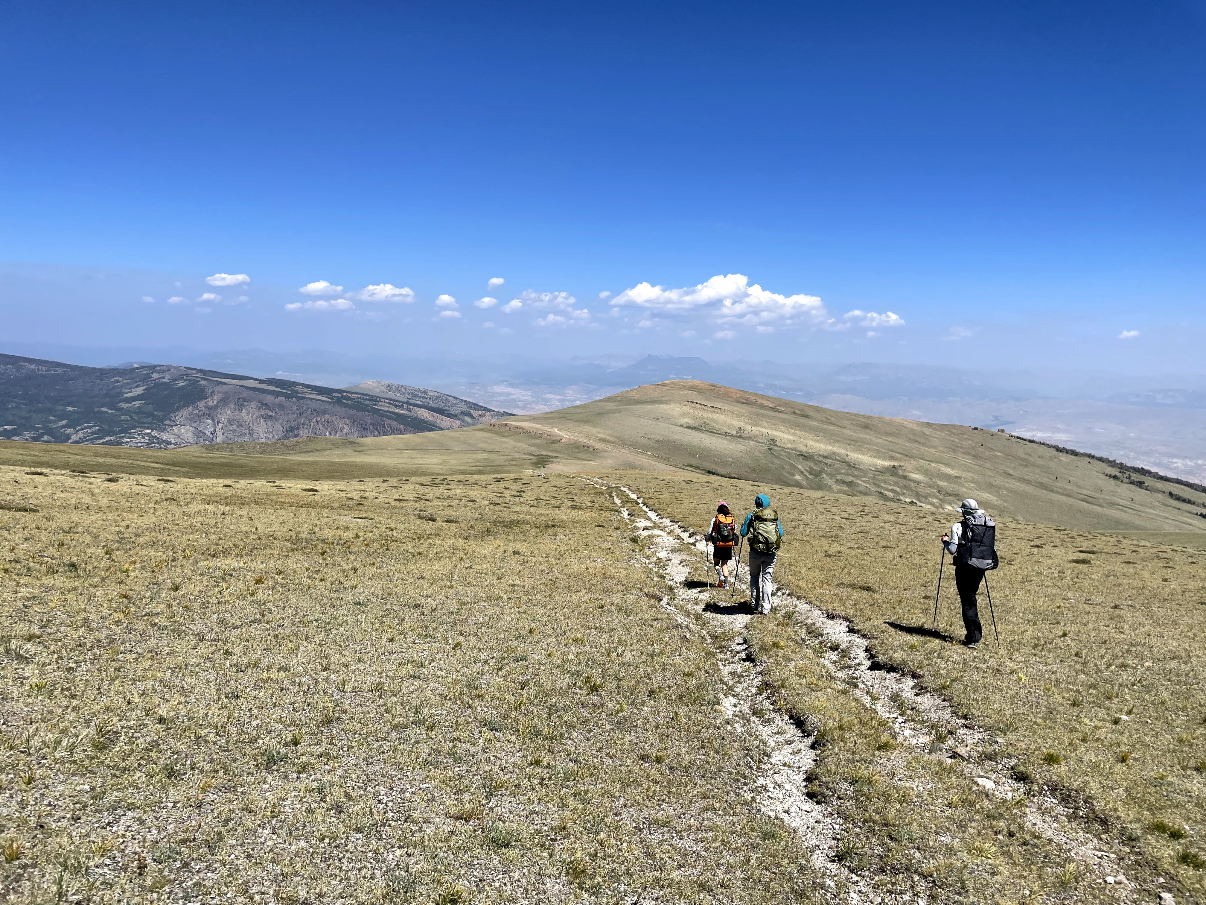
After leaving Double Lake we kept gaining elevation in the trees, going through a burned area. We yo-yo’d with an older couple who we learned had also attempted Gannett and didn’t make it either. Erik remarked that of eight people in three different parties we talked with- all whom tried for Gannett via the Gooseneck Glacier route, none of them were successful. I guess we were among good company. Soon we emerged from the trees to the Burro Flats and kept gaining elevation for a couple miles.

The Burro Flats seemed to go on forever. After the pass, the trail was littered with tons of little rock that was difficult to walk on. We were ready to cruise but just couldn’t go fast. Once we turned onto the Old Glacier Trail the conditions got better as we steadily climbed a bit more before we finally started heading downhill.
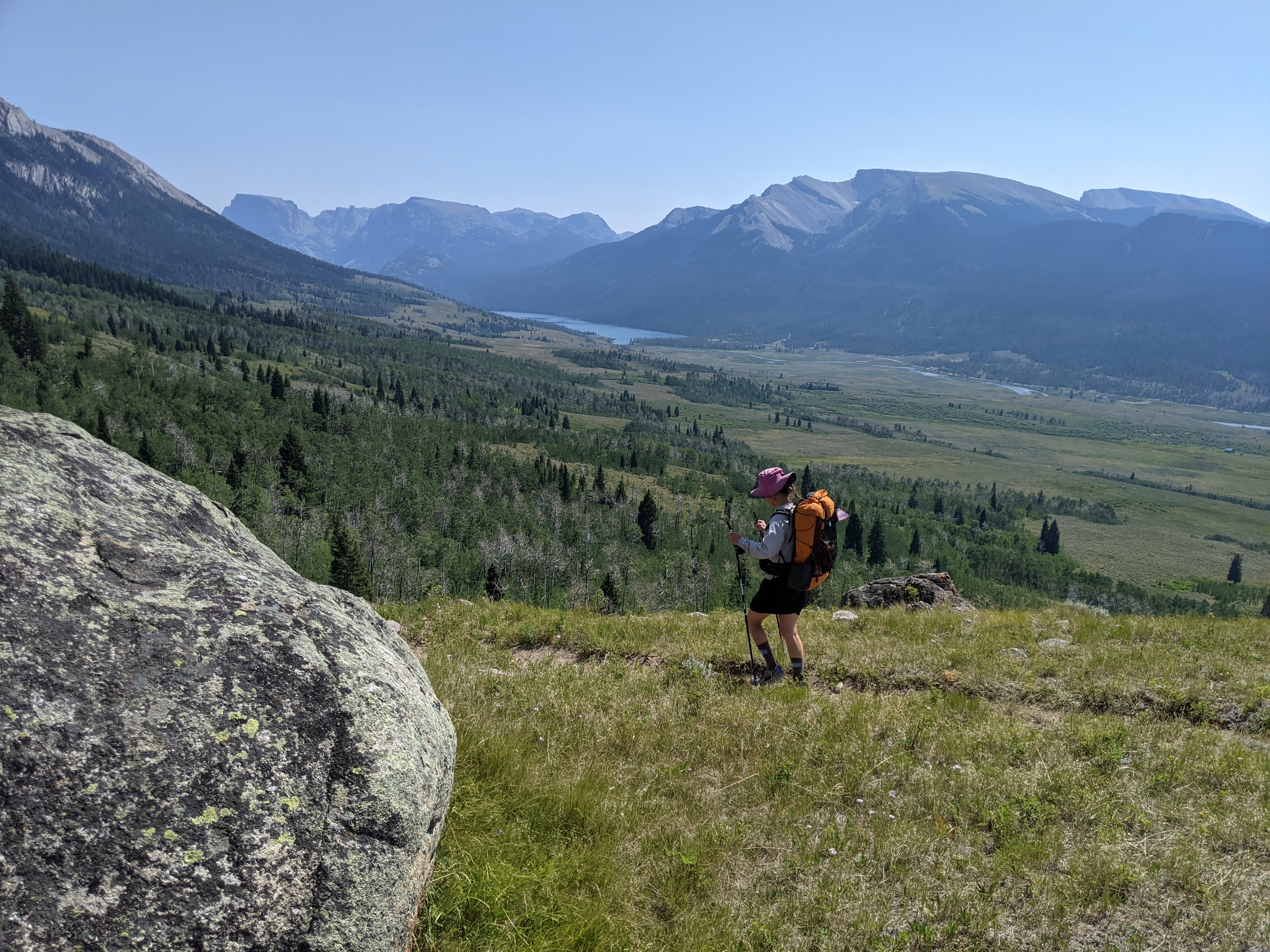
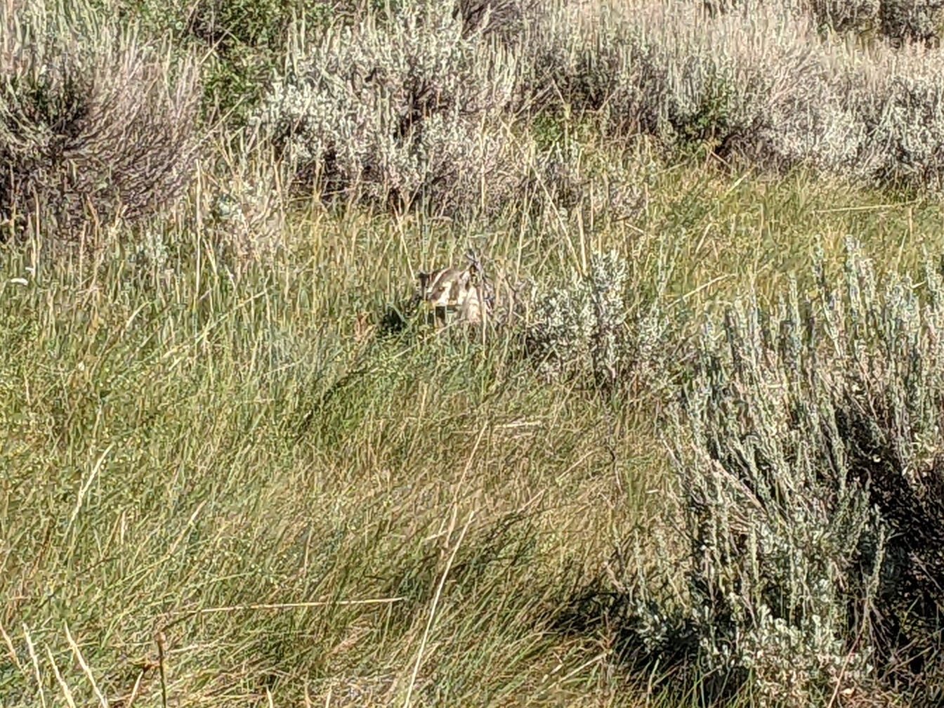
Eva got up close to a female bighorn sheep who wasn’t to be deterred until our whole group got close. The view from the Old Glacier Trail was spectacular but we surmise the new one was built for better water access. We were fortunate some clouds came in, otherwise it would’ve been a hot few miles.

Finally we were off the plateau and into the forest (after we went down the few switchbacks we had seen our first day), doing many many switchbacks to the valley floor. After a final stream crossing of Torrey Creek, we arrived back at the parking lot just after 5 pm.
Our Minnesota connection buddies had stashed some beers in a Yeti cooler that were still cold. I got a tecate beer, about the blandest one possible that was more palatable than usual, or maybe just because it was so cold. We spent the next few miles of driving with open bottles and talking about Yeti coolers until we stopped for a swim at Torrey Lake before driving out of the mountains.
Well, we made our loop of the North Wind River Range. I had figured out the mileage a few months before embarking on the route and knew it would be grueling but went into denial in the weeks leading up to the trip. As usual, it was more difficult than I had imagined. I largely credit this to a bunch of blowdowns on nonmaintained and maintained (CDT/Highline) trails the second day, adding Tourist Creek, and as a result of the above plus Erik’s GI illness, doing a longer than wanted last day. All that being said, I crave adventure and it surely was that. I don’t feel fulfilled if there aren’t some unexpected obstacles and if it isn’t hard enough that I cry. Or perhaps as was more applicable, I laughed so hard I cried when we saw that baby going up Tourist Creek.
This loop is certainly do-able to an experienced mountain hiker. Bonney Pass looked intimidating but wasn’t that bad. The part of Dinwoody Glacier we were on didn’t have any big crevasses and most people do it without being roped up. Thus only microspikes are necessary, although earlier in the year or following a big snow winter the conditions could change. Beware Gannett Creek. I suspect a fast-melting Gannett Glacier will make that a tricky creek crossing- perhaps they will build a bridge- but this is the wilderness after all. Without the Tourist Creek addition this loop would be reasonable in seven days, but perhaps a couple extra days would be nice although then the food weight would be a drag at the beginning. One could get resupplied at the Green River Trailhead but that would either require caching some food or another person as there is no town/post office/store there. And the Green River is so amazing. I don’t often go back to the same place more than once, but I’ll be back to the North Winds.
I have zero regrets about going up Tourist Creek, although had we not seen that baby and cast iron frying pan I might say different. That definitely made Tourist Creek worth it. We do wonder if that baby made it up Gannett. Someday I’ll head back up the #touristcreekbabyroute and bag that peak.
In the days after our trip I had to do some ego consoling at our failed summit attempt. It may have been my first failed summit attempt where I never even saw the mountain I was trying to climb, although by virtue of definition of a mountain, one could argue we were kind of on it. The only thing that kept my ego in check was likely losing my hiking socks…although maybe they’ll turn up somewhere.
I go to the mountains for the scenery. This is what I need to most remember when planning my trips. Erik suggests I start adding in a layover day, either for side hiking in a gorgeous location, or in case, which is usually the case, my route is just too tough. Maybe I’ll take his advice for the next time. Getting to camp at 6 pm worked to my liking- just enough time for dinner, setting up the tent, getting ready for bed, and some time to enjoy the scenery. But not too much time. I don’t do well chilling. The thing is though, if we get to camp at 6 pm I like to take a couple longer breaks during the day- for scenery viewing, washing up, or swimming- but we were hardly doing this. I find the balance between having time to relax and working my body a bit difficult to plan when trail- whether on or off- conditions are unknown. But maybe just maybe I’ll take what I learned this trip and be able to set a less aggressive plan for the next one!


7 thoughts on “The Great North Wind River Range Backpacking Loop + Tourist Creek”