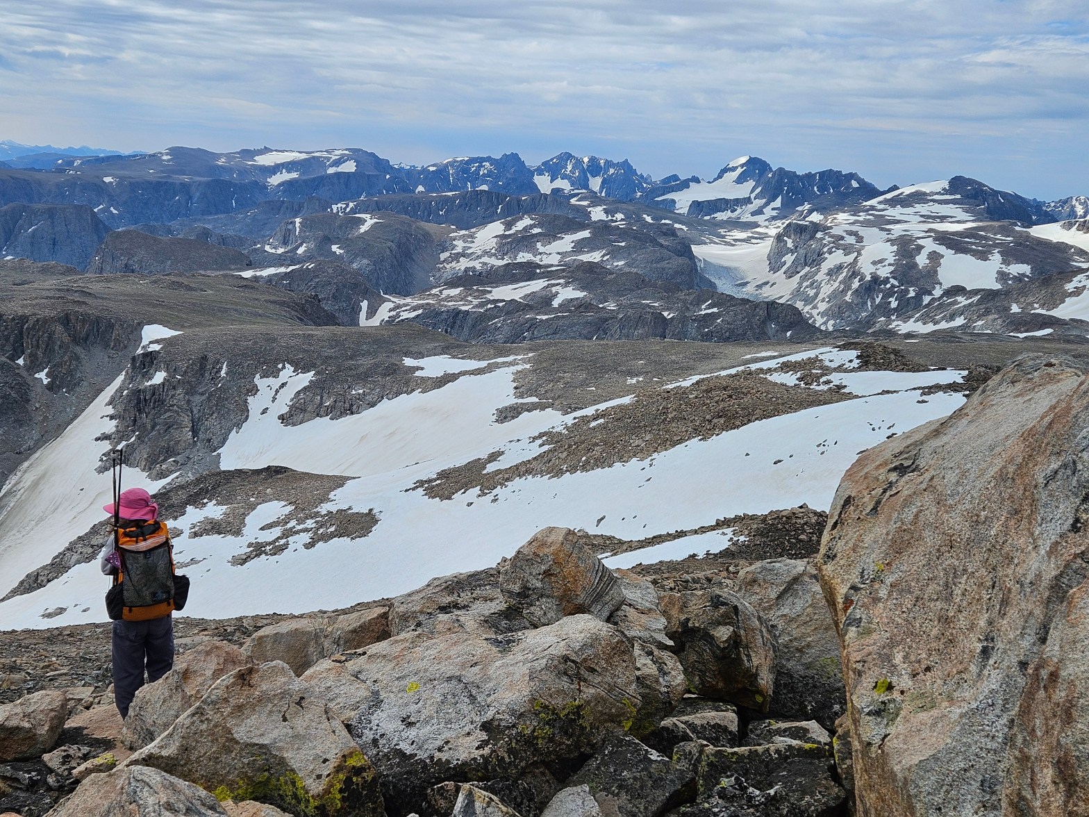
Five years ago, in 2021, we made our first attempt on Gannett Peak via Tourist Creek. That year we had superb weather, but our route, a circumnavigation of the North Winds with a spur to Gannett, was simply too long for the time allotted. Three years later we tried again via Tourist Creek, but that time we were deterred by bad weather. Last year we switched it up, tried for the east side glacier route, but were turned around by a new wildfire just two hours into our hike.
Since our first try on Gannett, we’ve subsequently made it to the top of Nevada, South Carolina, Georgia, Utah, Texas, Pennsylvania, Maryland, West Virginia, and Illinois. But Gannett remained elusive. The every-other-year approach didn’t seem to be working and with the known bergshund on the glacier route, we decided to go for it mid-July.
The approach to the base of Gannett is arduous no matter the direction. From Minnesota, the closest drive time brings us to the Trail Lake Trailhead, from which it’s a 25 mile hike to the base of Gannett. This was our plan, bag the peak, and then head back the high route to give us a loop route. 54 miles, 23 of them off-trail, and 13,000 feet of vertical.
We also had another key to success, my friend Kathryn would be joining us again. She’d been up Gannett before and had lots of glacier experience.
Day 1: Trail Lake Trailhead to Philips Lake
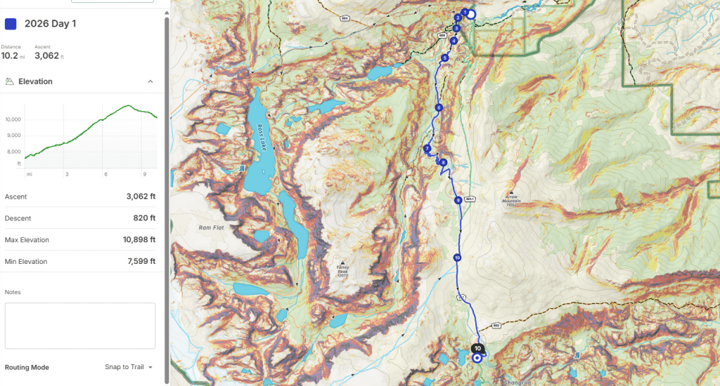
Much of the west and midwest were under an extreme heat advisory. This meant after driving to the trailhead and starting around noon, temps were 85 degrees in the shade. We were hot from the start and tried to get in enough water but failed. We hiked up on the New Glacier Trail which has a bridge over Torrey Creek, unlike the Old Glacier Trail which requires a ford. There’s a few switchbacks, then it’s mostly flat until more switchbacks up to Burro Flats where we gained most of our elevation on the day. I was glad to have Kathryn along as we chatted and slowly hiked and the miles and hours passed. The goal was to get to Double Lake, or even Star Lake, but at Philips Lake it was after 5 pm and we were done for the day despite only 10 miles.
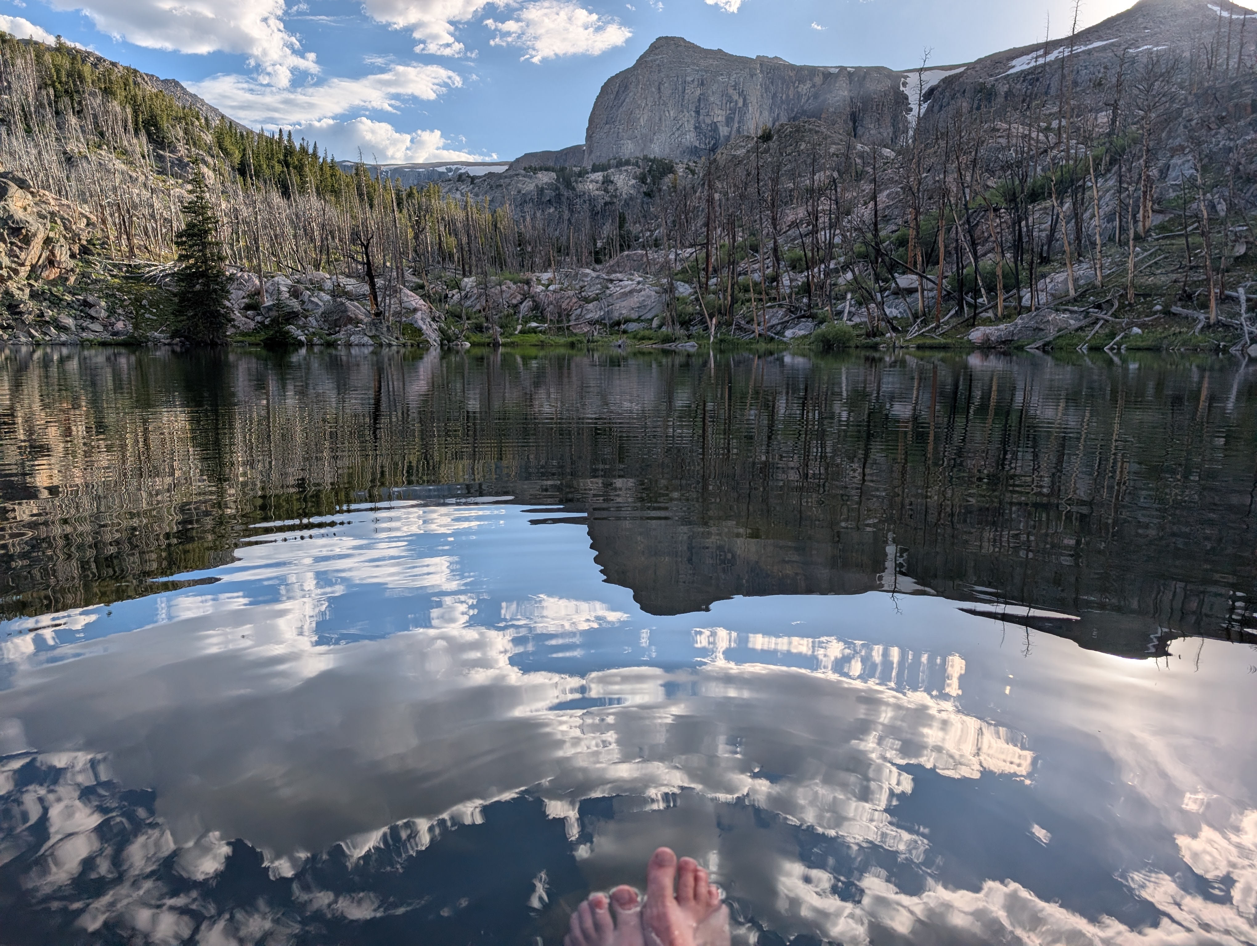
There were some mosquitos around camp, not terrible, and after a dinner of coconut curry pasta that was deemed a flop, we found refuge on a flat rock next to the lake where we could catch mosquitos and throw them in the water for the fish to eat. The air temp was still toasty into the evening despite the 10,000 feet of elevation.
Day 2 (7/13/26): Philips Lake to the end of the Glacier Trail
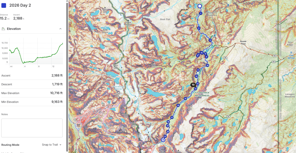
We were up and off to an early start but by 7:30 am it was already hot. We continued following the Glacier Trail, down to Double Lake, a brief climb to Star Lake, and then a bunch of switchbacks as we viewed Honeymoon Lake and descended to the Dinwoody Creek which rushed passed us in a series of tumultuous big and small drops.
Despite it still being morning and tree cover, the trek along the Dinwoody, then briefly the detour up the glacial flow of Downs Fork to the “new bridge” we’d done in 2021, felt more like we were in desert under a blazing sun. It was again 85 degrees in the shade. The hours wore on slowly, we endured the sun in the Big Meadows, caught our first views of the daunting Gannett Peak, and once again I was glad to have Kathryn along to provide a distraction to the heat.
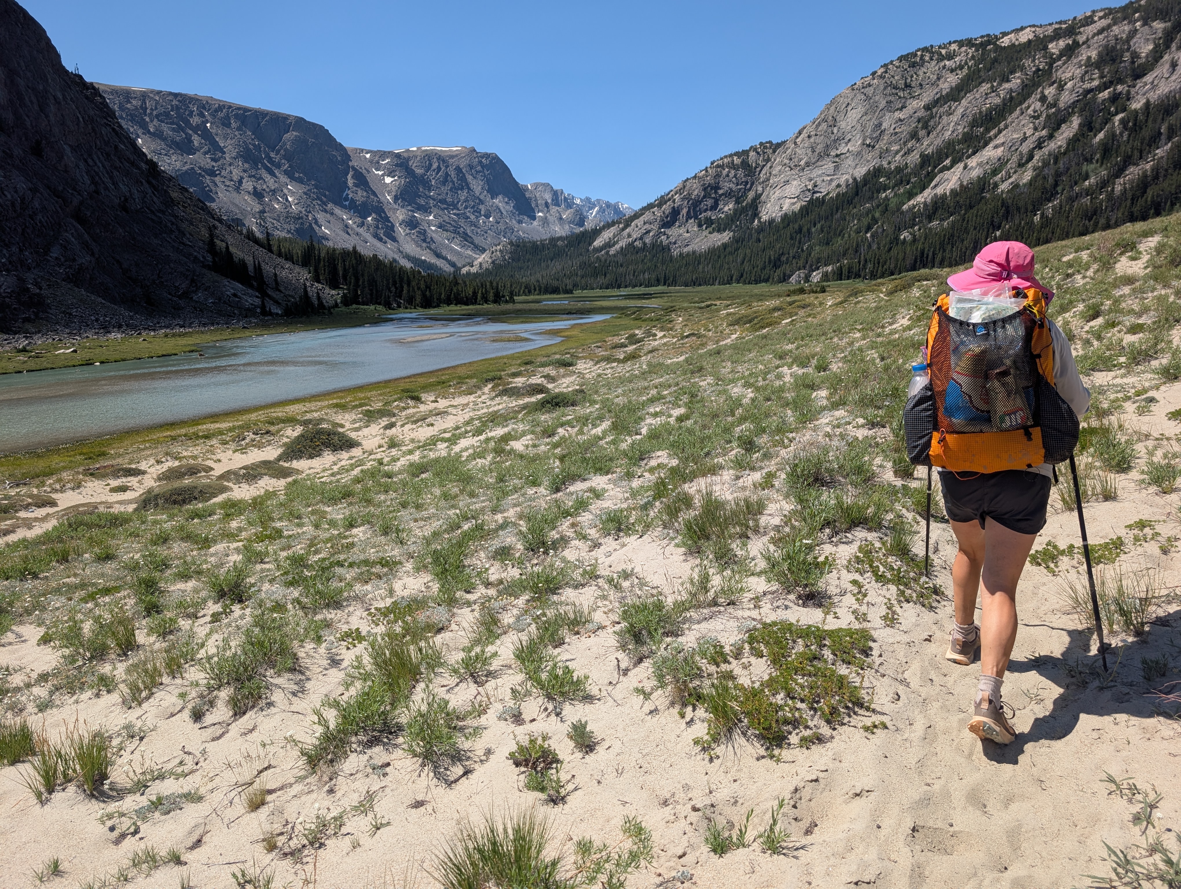
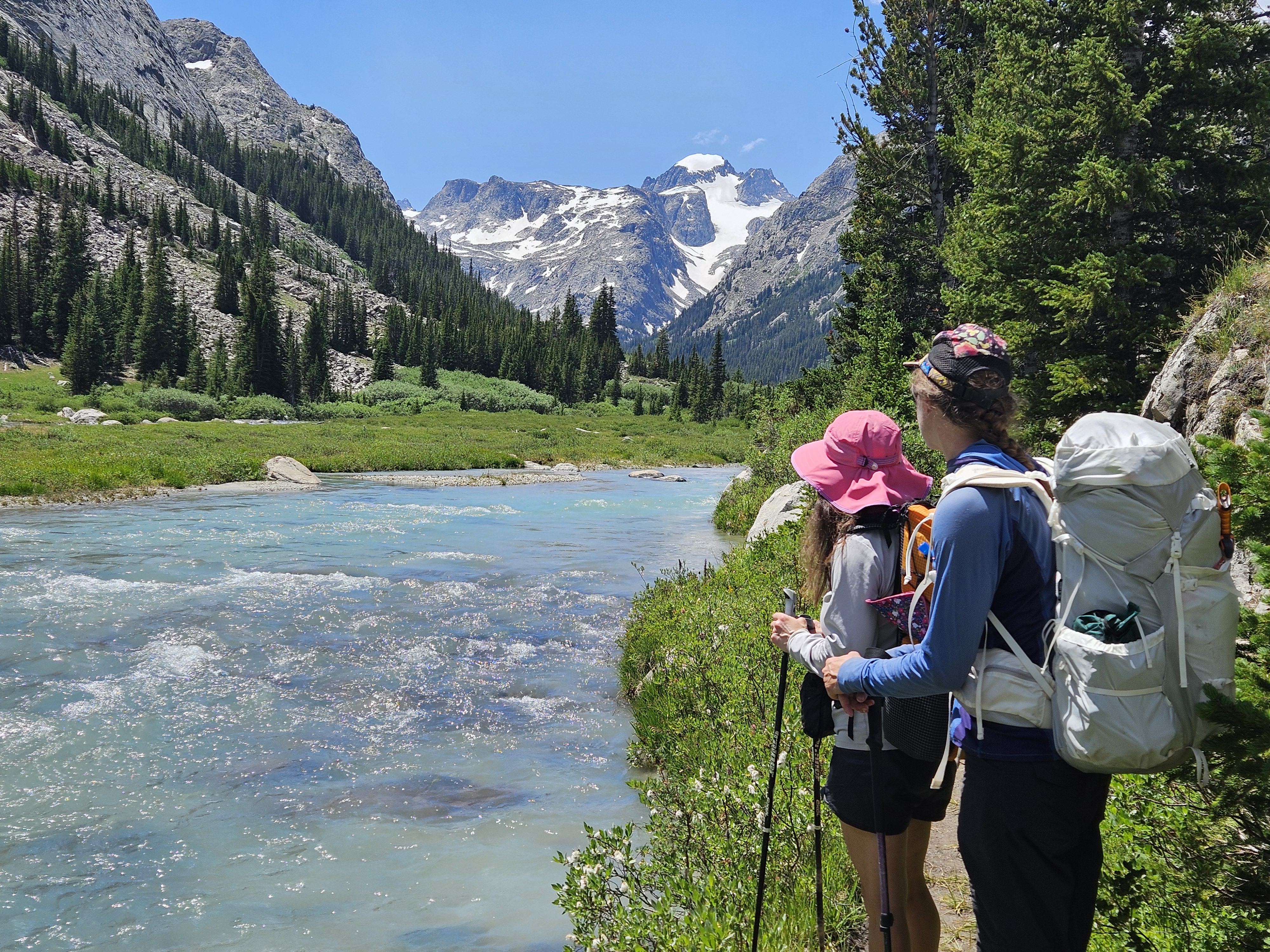
By the time we got to the ford at Klondike Creek a swim would’ve been welcome. Instead we took off our shoes and socks and waded across. As the afternoon hours wore on we became weary. In 2021 we’d missed the trail on the west side of the Dinwoody Creek in Floyd Wilson Meadows and had crossed over the Dinwoody and back but this time we were determined to stay to the west. We learned why the trail here is faint: there are numerous small creeks that come in from the west and we were constantly rock hopping or crossing on logs.
Soon we came to the Gannett Creek crossing. For anyone not familiar with this route, I consider this the crux of the approach. The stream is roaring at the official trail crossing and hence, there are multiple social trails a bit farther up the mountainside where Gannett Creek branches and cascades over rocks and trees on its way to the Dinwoody. I struggled here back in 2021 and did so again this day because I’m not very brave and my balance isn’t very good. I butt scooted one log and Erik had to give me a hand a few more times. These crossings are sketchy. I might not have died had I fallen, but I suspect I would’ve been tossed around in a freezing cold glacial stream. I would not have brought my 8 year old niece across the Gannett Creek and I otherwise bring her some precipitous places.
Gannett Creek behind us, we now had a 700 foot climb to base camp. We stopped to rejuvenate with a snack. It seemed we’d been re-filling and treating water all day, but I’d only peed twice so far. A group we’d encountered early on in the day suggested we camp “at the big boulder” and so when we found this spot just a tad shy of 10,800 feet we took it and set up camp. It was already 4 pm and we’d hiked 15 miles for the day.
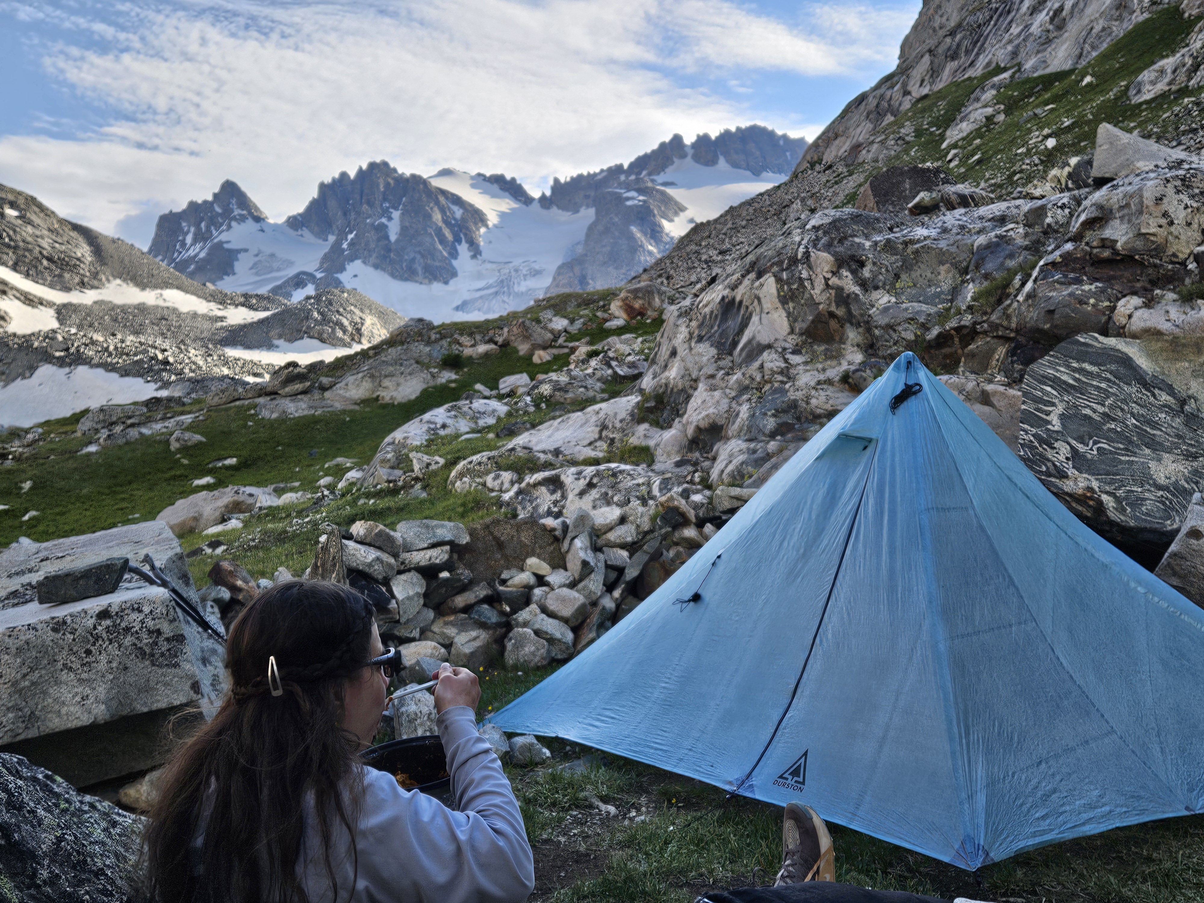
One of the fun things about summitting a big state high point is the camaraderie. Since we’d pulled into the parking lot we were getting beta from everyone who’d climbed Gannett, from the Gannett Creek crossing to conditions on the route. So far we’d learned that the snow was really soft and post-holing would be a problem. Everyone said to start really early, like midnight or 2 am. We hiked up to take a look at the mountain and talked to a party from Ohio who were on #47 of the 50 high points. They were going to get up around 3 am.
Our group debated what time to start. I knew my headlamp wouldn’t last more than a couple hours and I prefer moving in the daylight. Our original plan had been to start at first light but we settled on moving this up by half an hour.
Day 3 (7/14/26): Gannett Summit Day
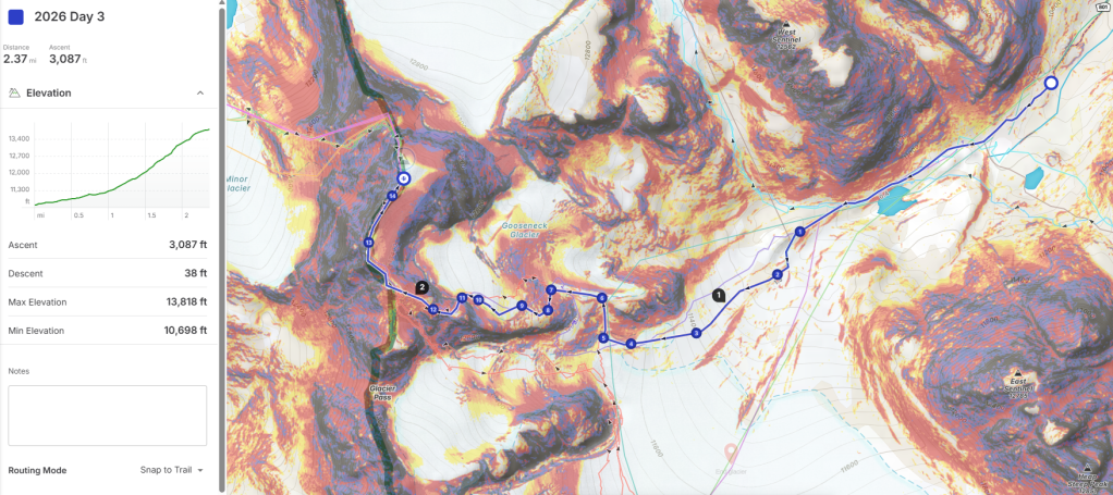
We all had a fitful night of sleep. This made sense given we were about to climb a hard and somewhat dangerous mountain. I’d barely fallen asleep when the 4 am alarm went off. It was nice not packing up camp and after eating breakfast we were on trail by 4:40 am under headlamp power. It wasn’t long before the trail petered out and we continued on a mix of boulders interspersed with patches of snow. Then we took to a moraine that was easier walking and soon it was light enough to turn off our headlamps.
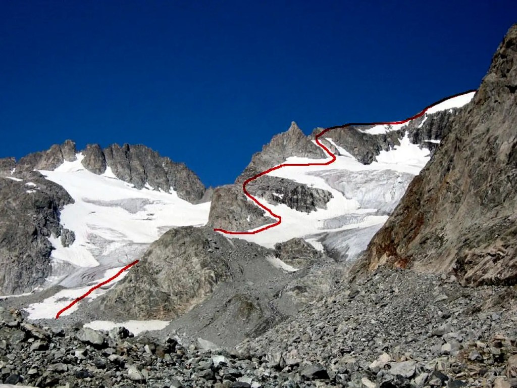
From here we got on some snow as we moved towards the south side of the first bump. As we got to the bump we saw it was boulders and some kitty litter trail and we were quickly gaining on our Ohio buddies. By the time we got to the top of this section and were about to set out on the glacier we’d caught them; but they had a much faster transition getting on their crampons (they were already wearing their harnesses) and so they took to the snow before us.
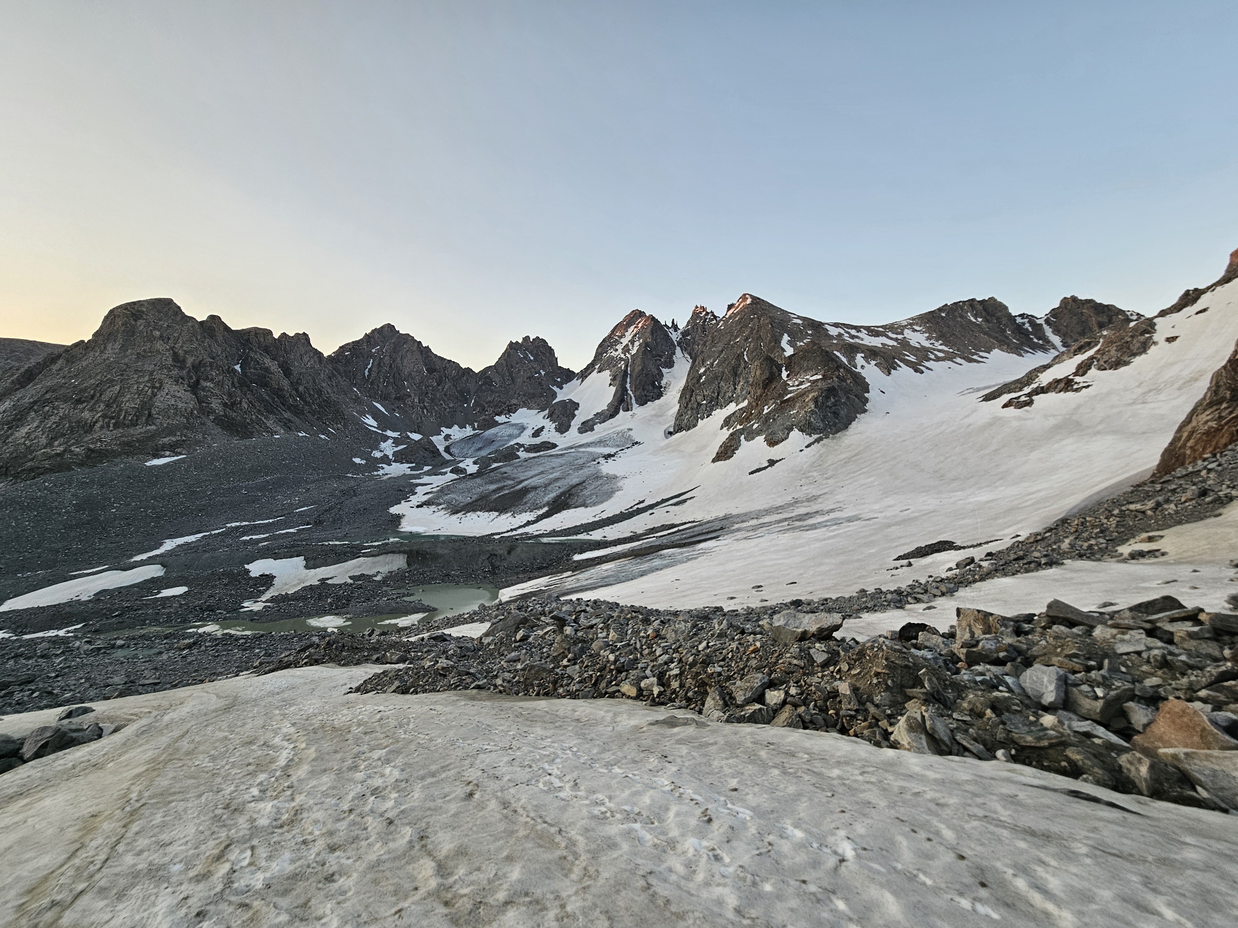
Being from Minnesota I’ve been on snow a lot and glacier a couple times but this was a new level of exposure and excitement. Fortunately the first pitch was very mild. Then it got steeper. I’d suggested we rope up, but Kathryn our de facto guide, disagreed so I made sure my steps were kicked in and firmly planted my ice axe, the first time I was using such a tool for real, in the snow. This pitch really wasn’t too bad and soon enough we’d reached another rocky section and took our crampons off.
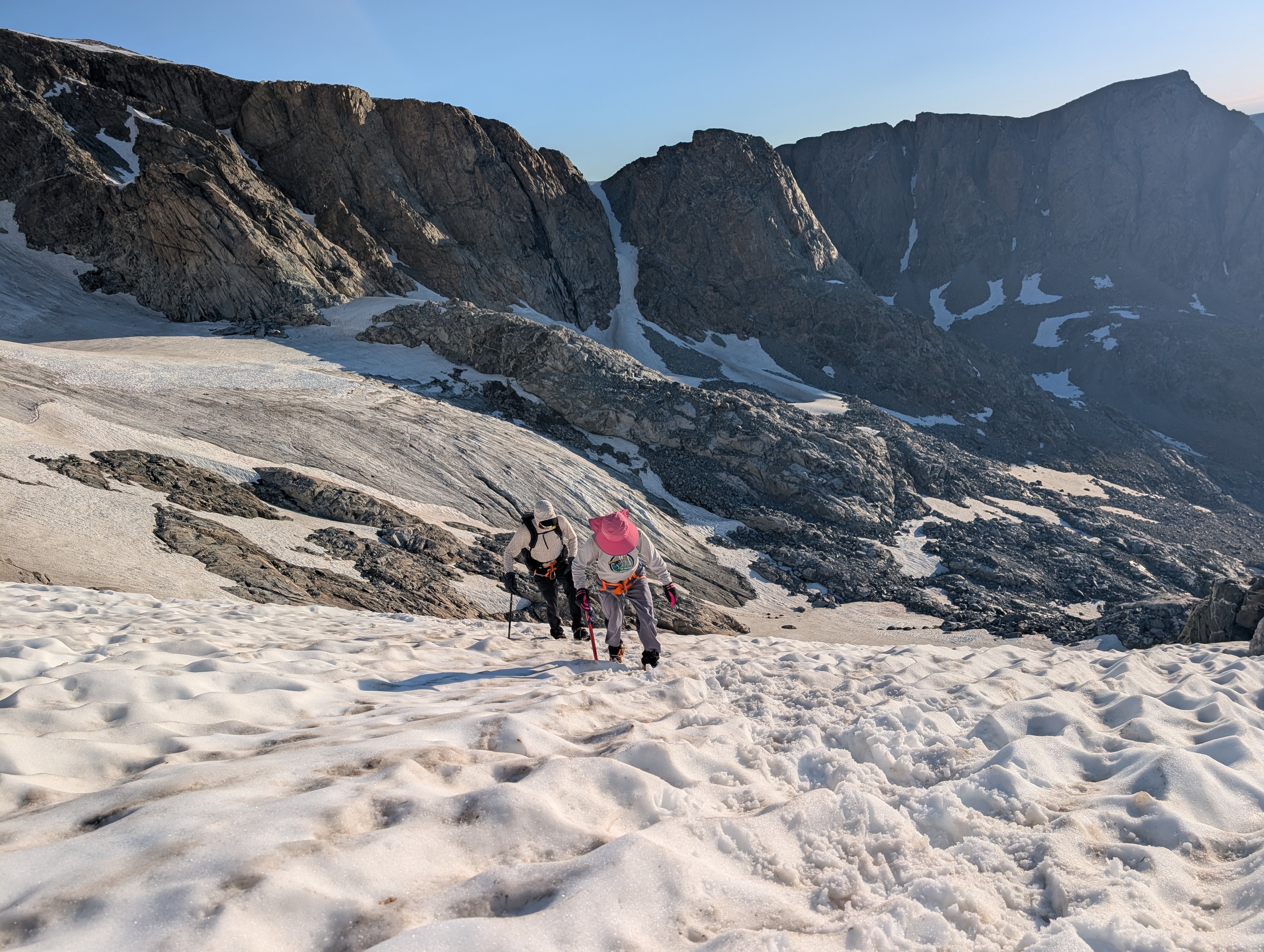
We scampered up on the rocks, passed our Ohio buddies, and then soon were putting our crampons back on to prepare for the next glacier section. Here we ran into our buddies from SoCal/Oregon/Arizona who were coming down having hiked up with their dog. They just had microspikes and ice axes and were on high point #49, with just Denali to go. They told us they’d post-holed a bunch up on the summit ridge and to stick to the rocks as much as possible.
Then we started out on a relatively flat section of the Gooseneck Glacier but soon it was time to head up the chute with “the bergshund.” From base camp we were able to see the bergshund was starting to open up. We headed until we were west of the bergshund, then roped up, and began climbing with Kathryn in the lead. She placed a couple snow pickets for protection. Next I went, proud of myself for having just learned the alpine butterfly knot. Erik took up the rear. The climbing was slow and I was admittedly about on the edge of my comfort zone as I had to unclip and reclip again at each picket but soon we were passed this section and back to climbing on the rocks.
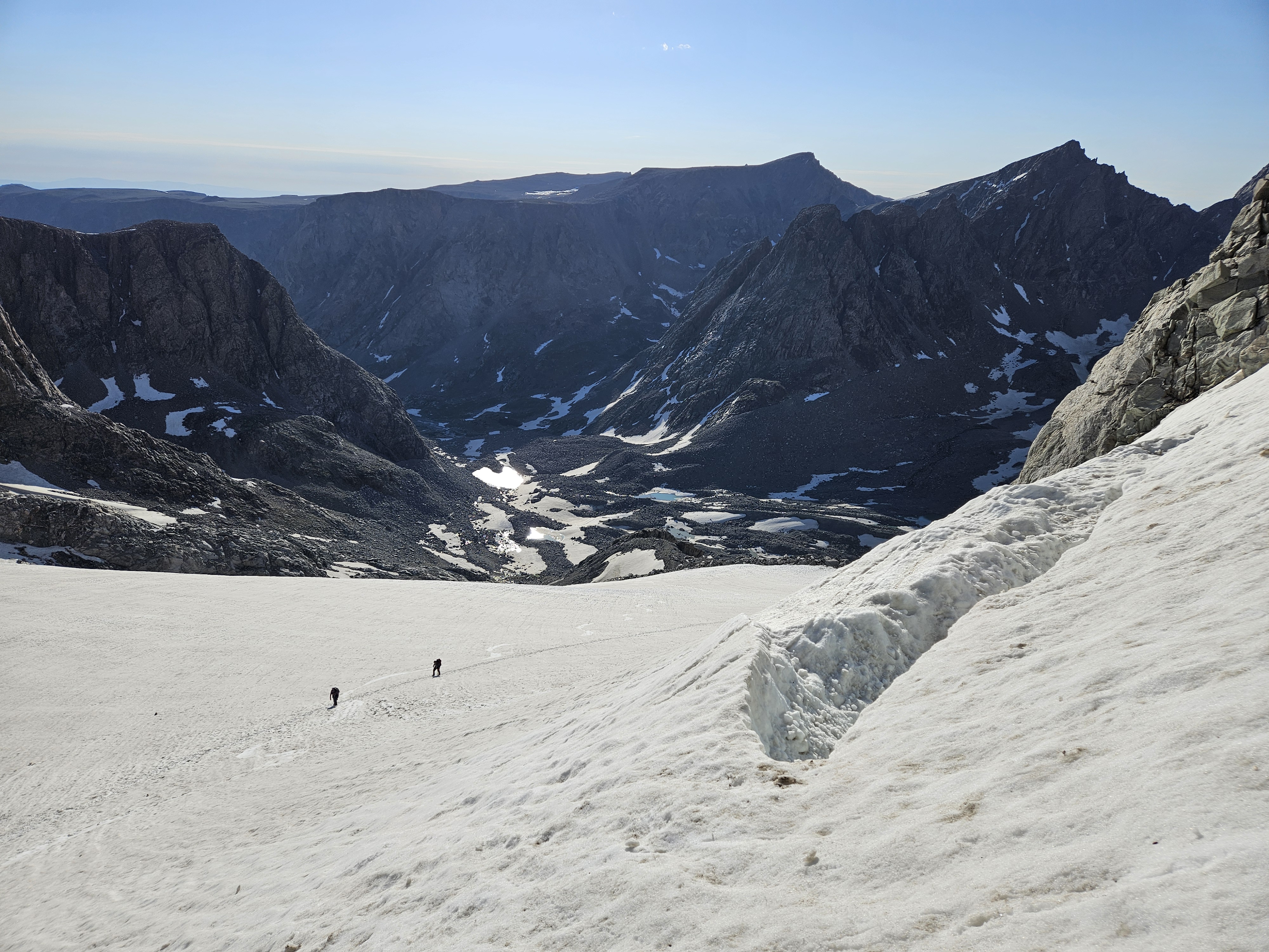
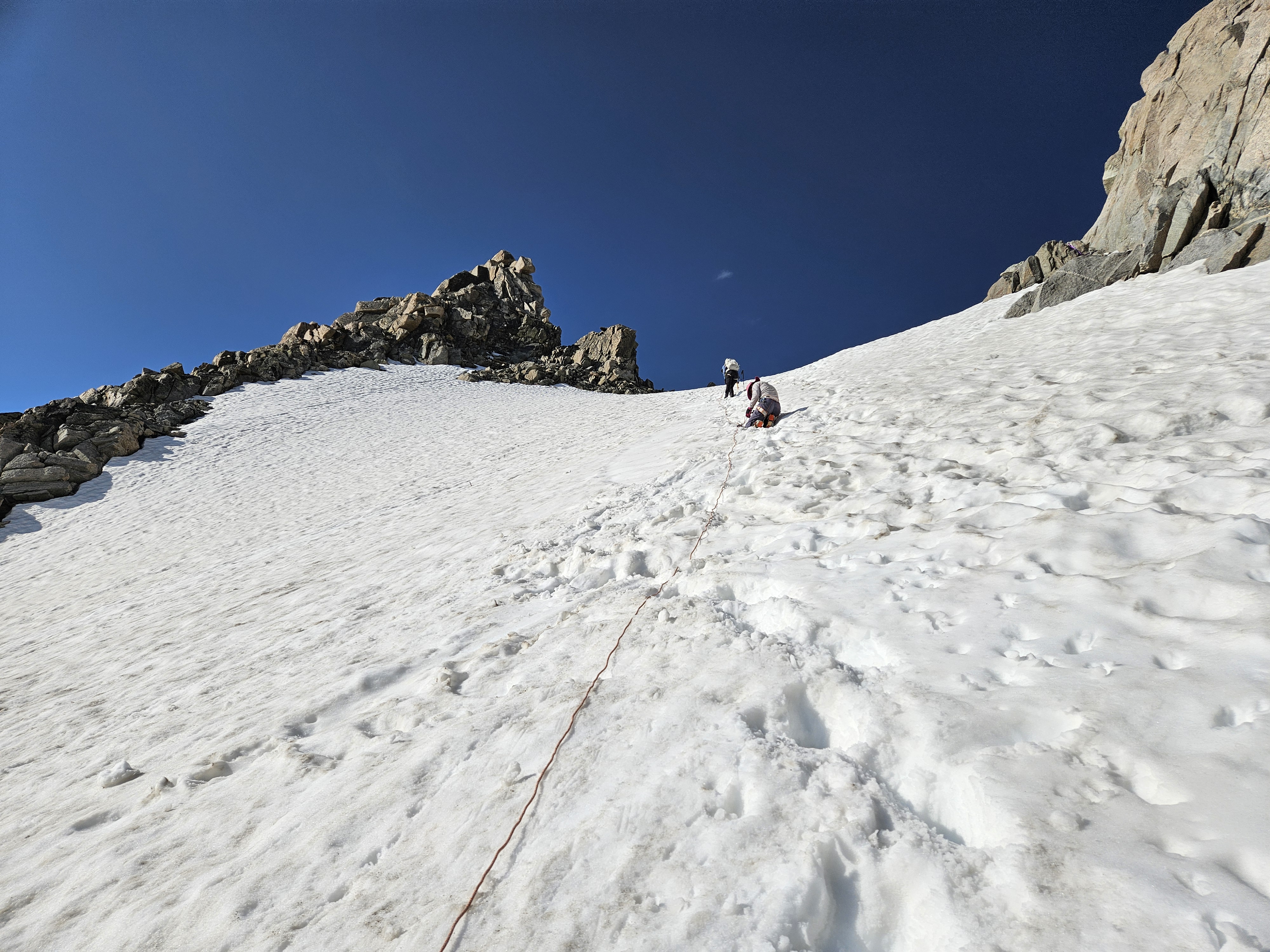
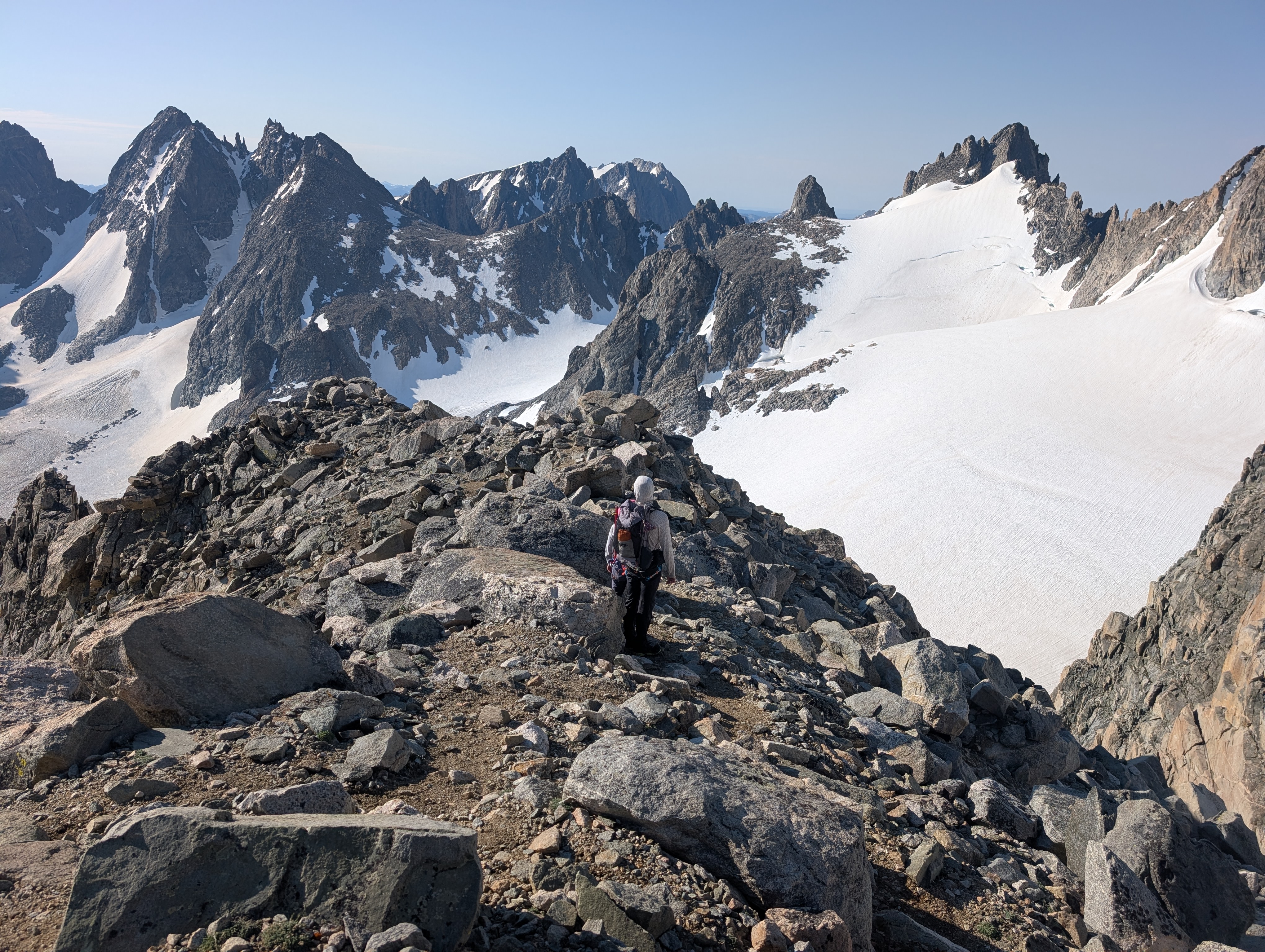
Except there was one section that got steeper and here Kathryn led us onto the snow (see photo below). We didn’t put on our crampons but at least grabbed our ice axes. Then we were back to the rock until this really got to the ridge where the rock was no longer feasible and we had to take to the snow again. We put our crampons back on and slowly moved to the summit, sometimes going a little faster in areas that were more broad.
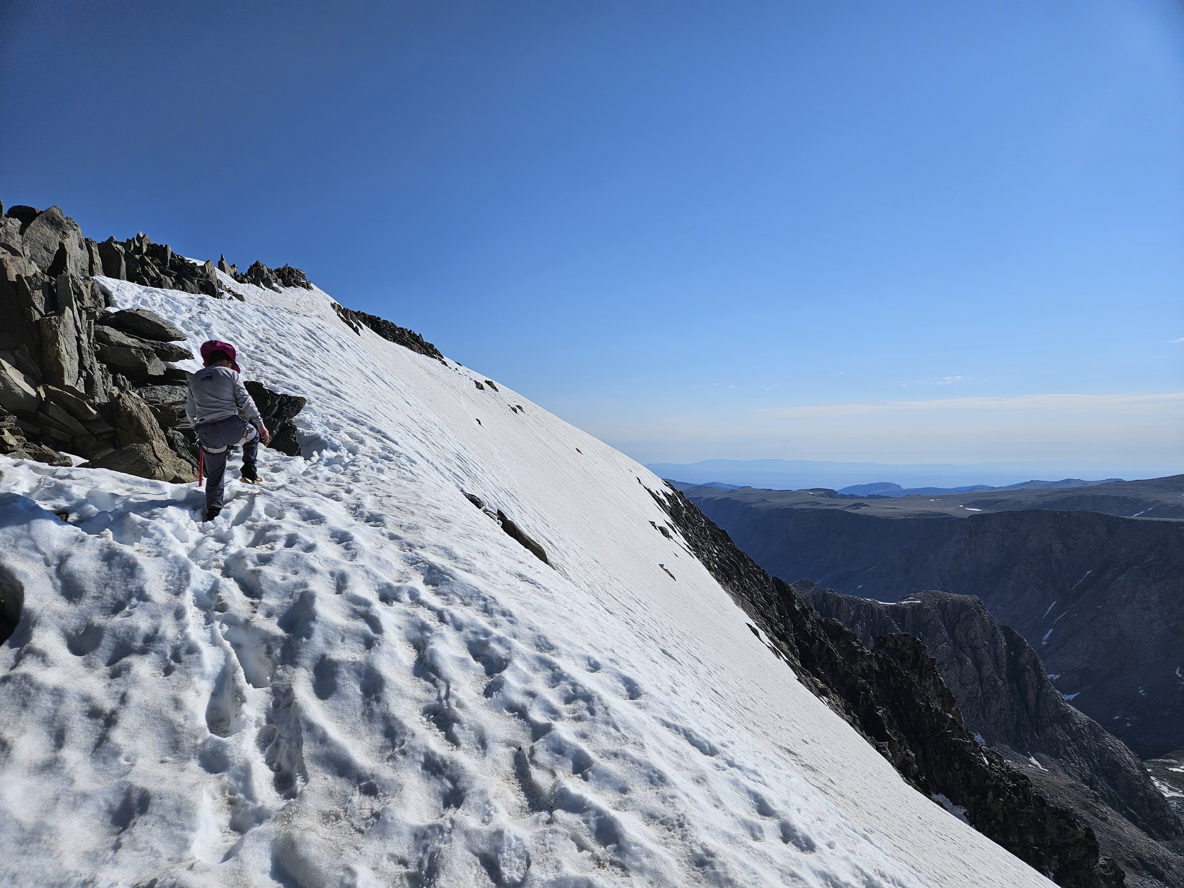
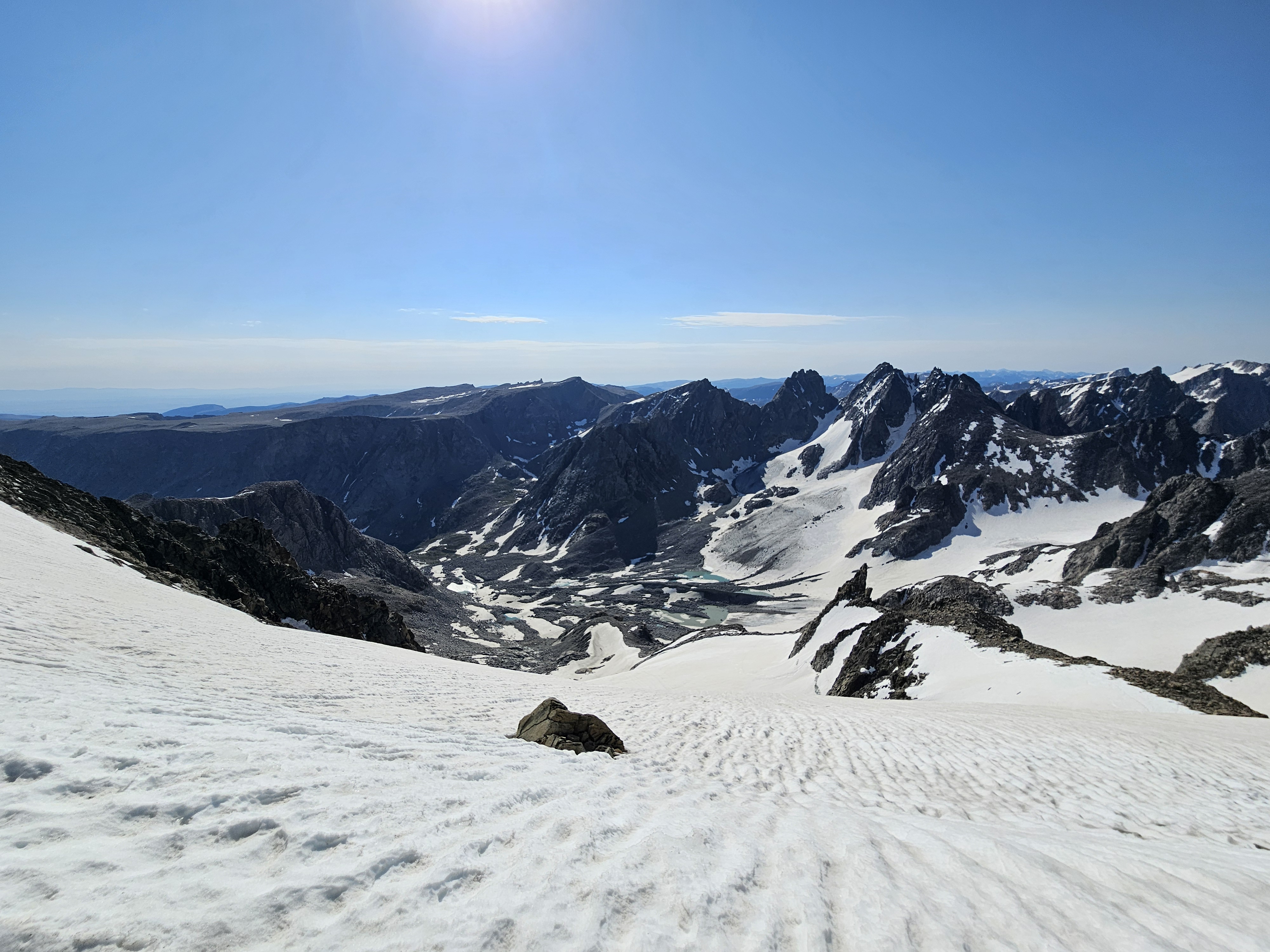
Finally we reached the summit rock area but first we spent 5 minutes taking our crampons off and stowing them along with our ice axes. Then it was a quick scramble to the highest point in Wyoming. The weather was excellent, it was around 10 am, and we enjoyed the views for nearly an hour.
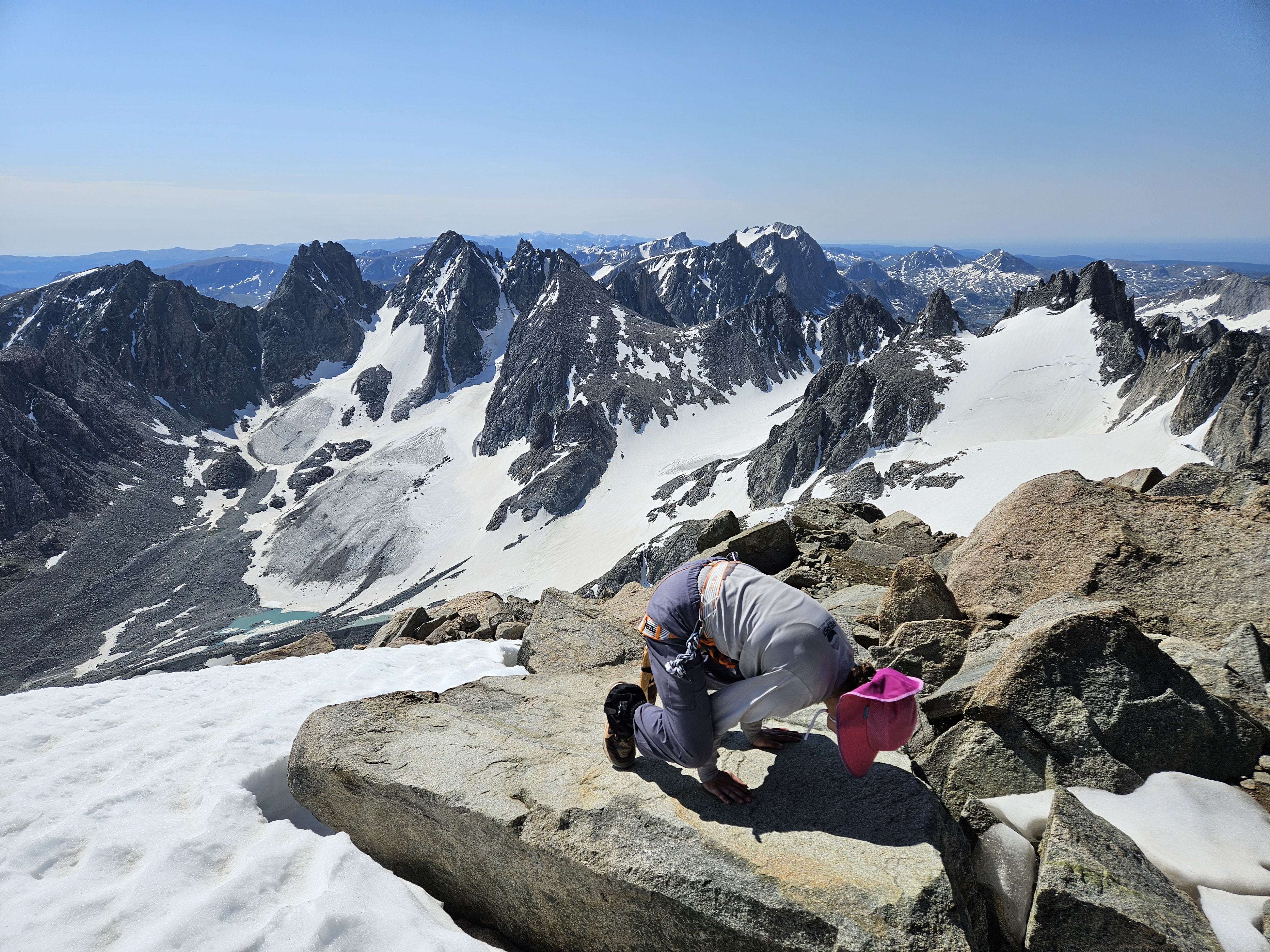
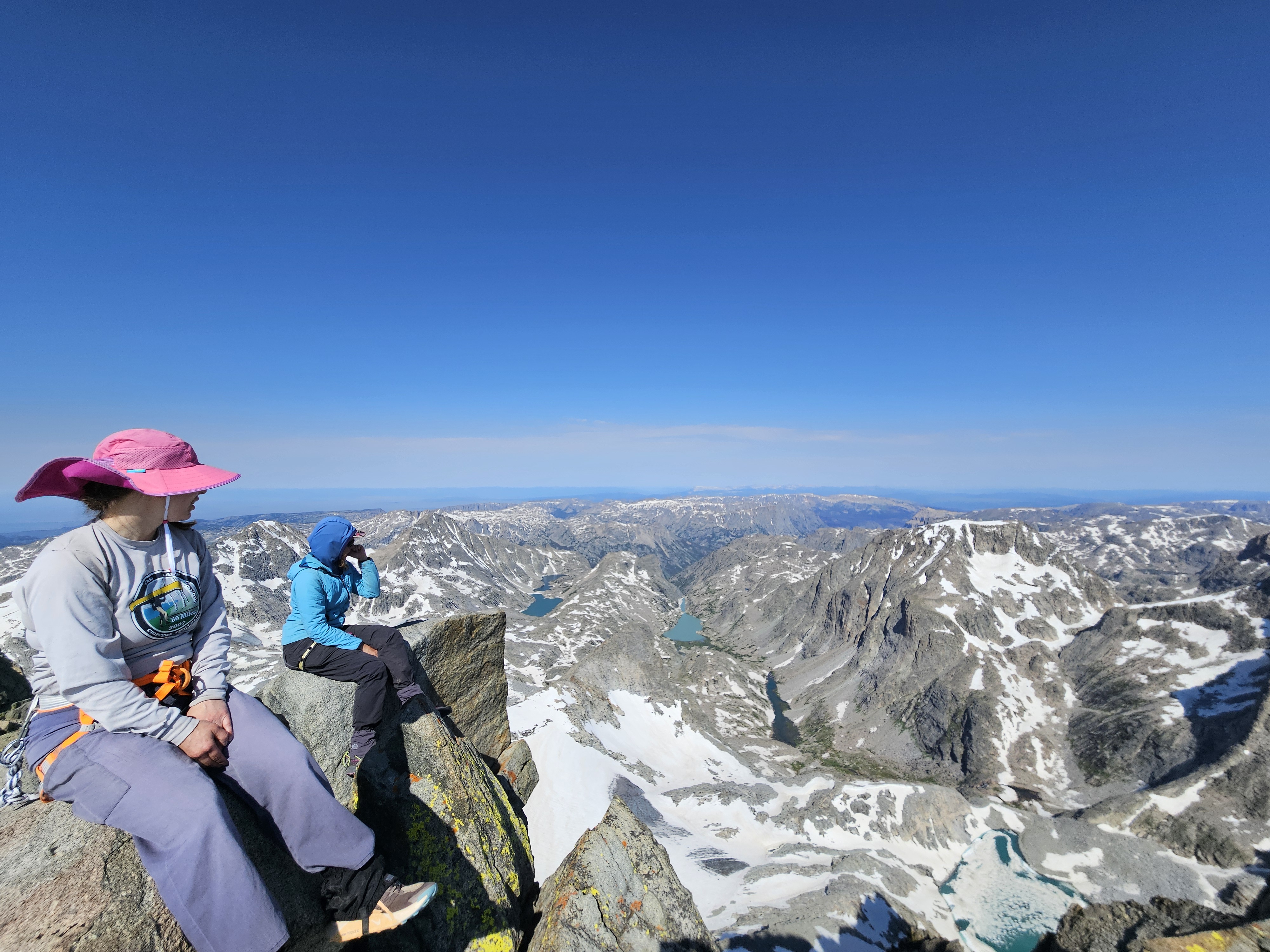
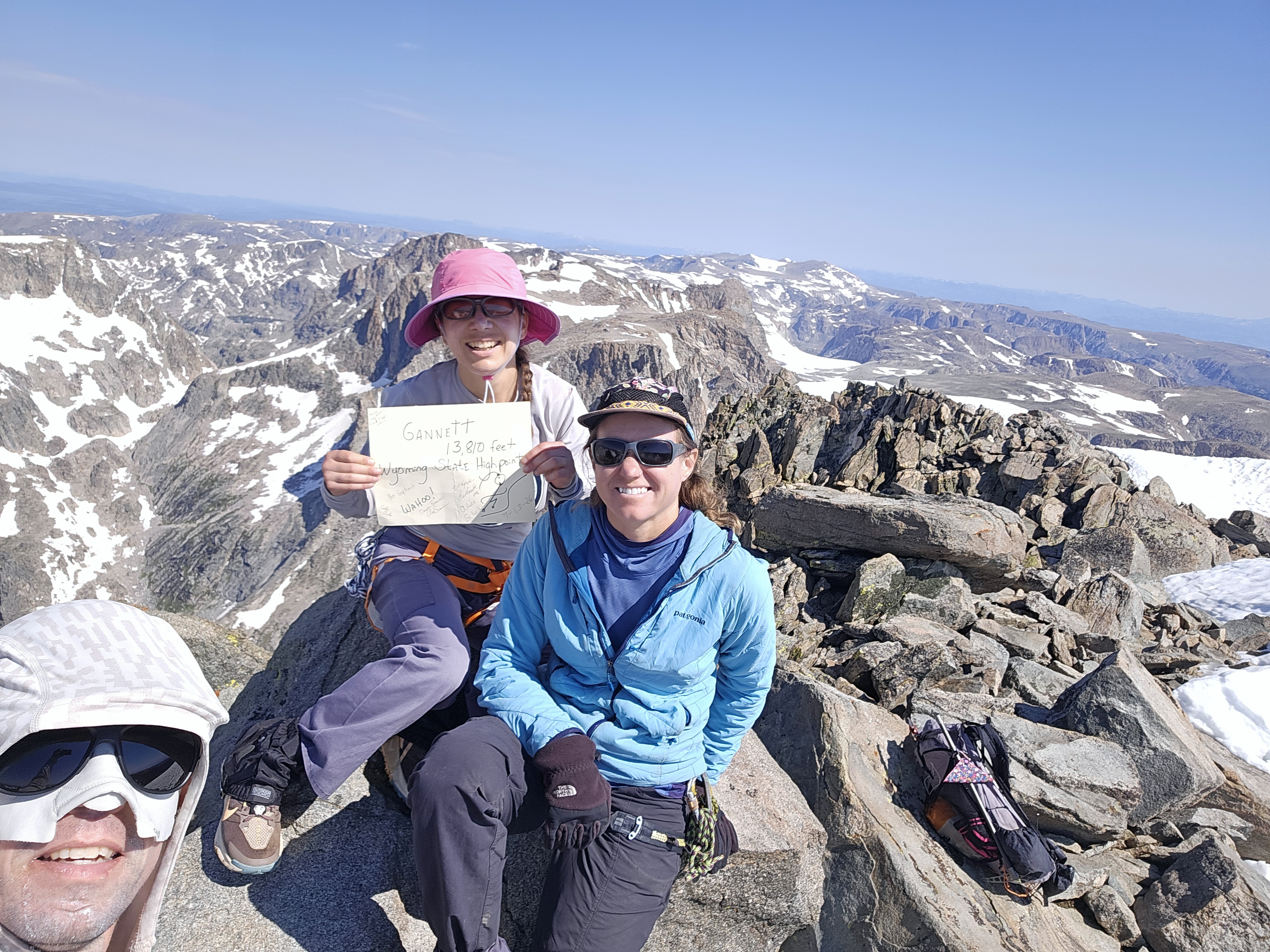
But anyone who knows anything about climbing mountains knows we were only half way done. And so we took again to the summit ridge, crampons on, then crampons off, then what I think was the sketchiest part again around the steepest part of rock when we got on snow. I realized this was definitely a no fall zone that I’d entered without my ice axe and ended up waiting for Erik to catch up with me to hand it to me. It was still sketchy, but a little less so. I was glad to return to the rock but then soon we were descending the bergshund area. We roped up again and used pickets and I descended backwards. More than anything I found this frustratingly tedious. Definitely not something I’m used to.
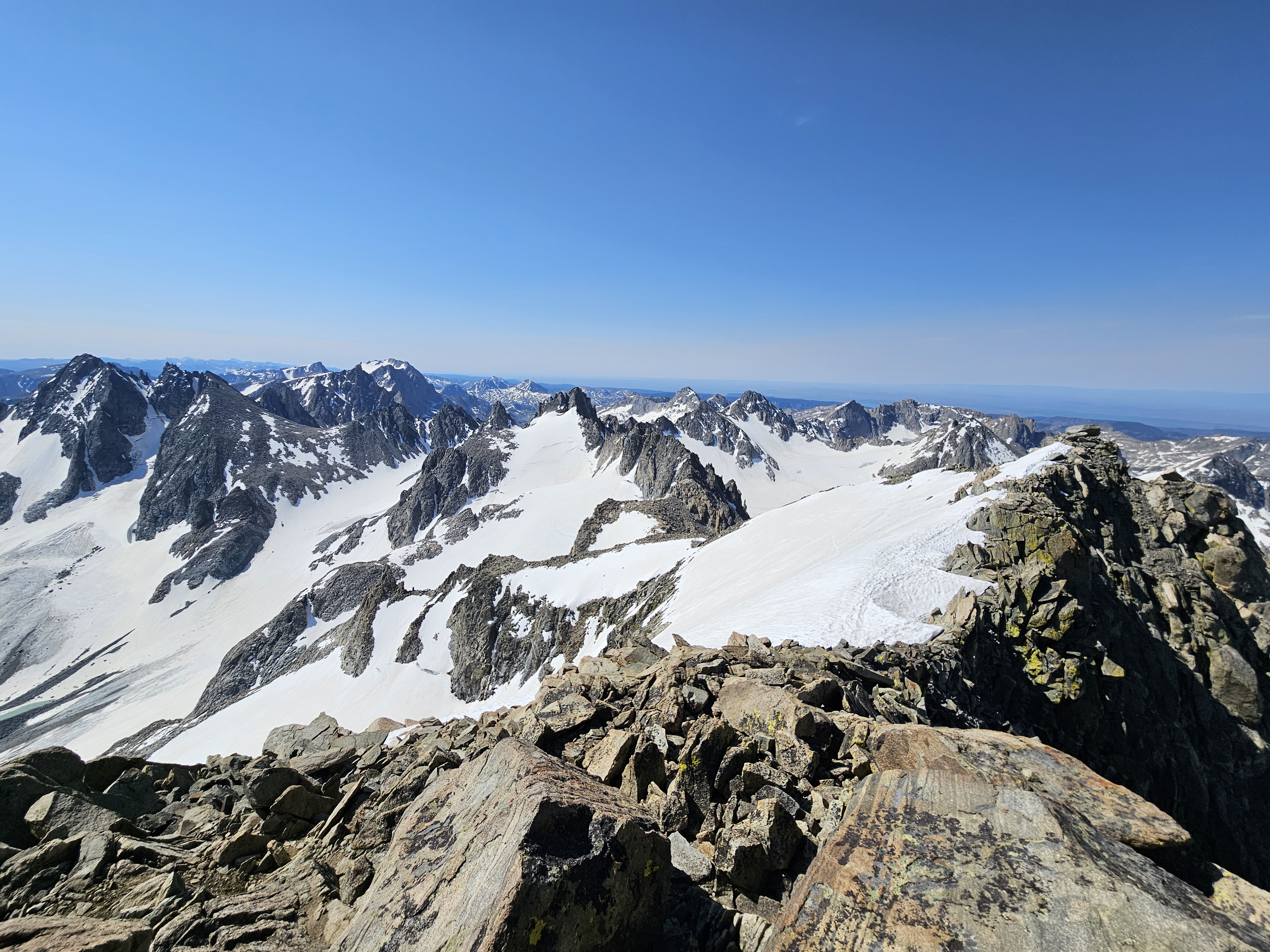
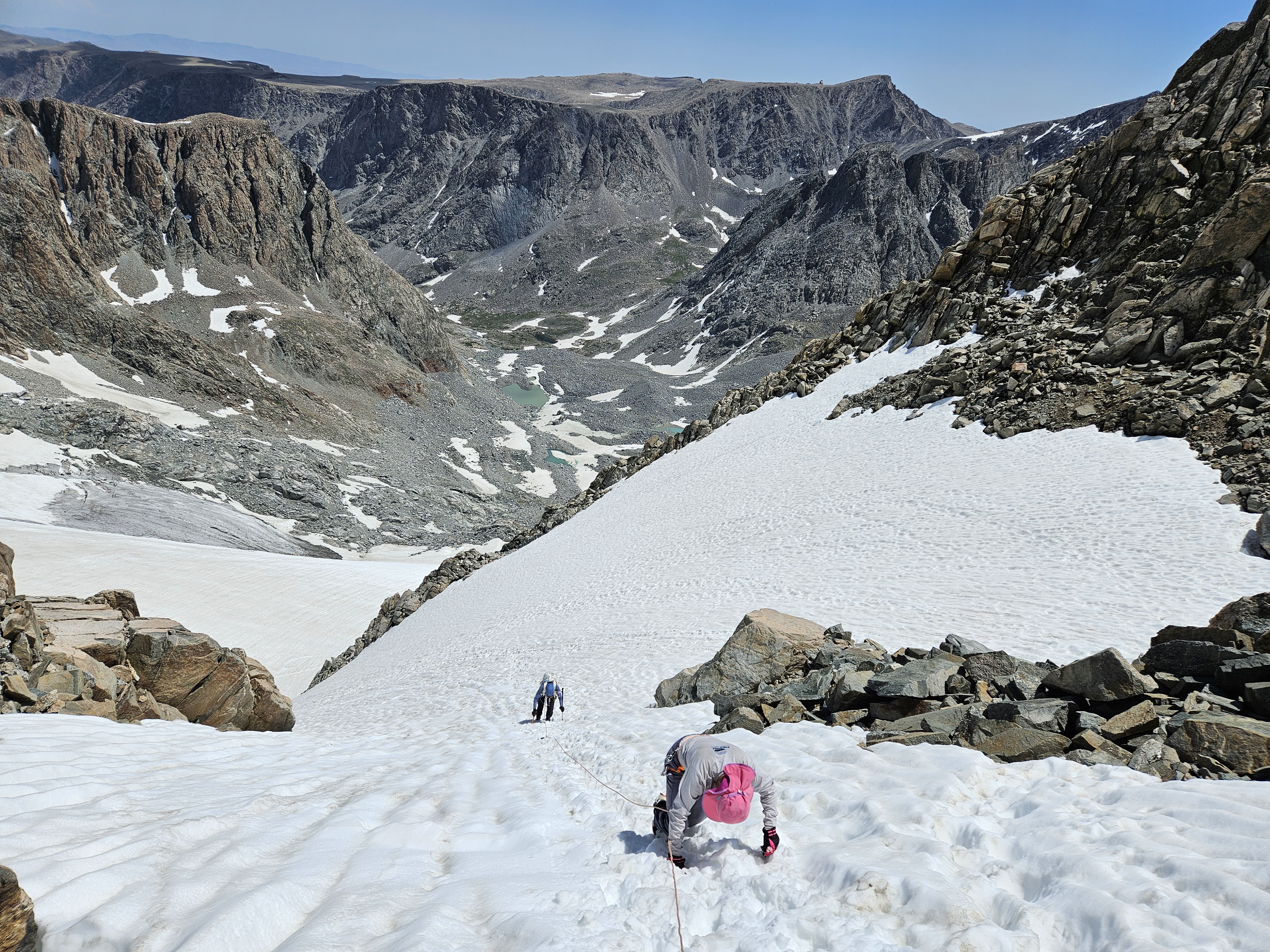
We tried to do some butt sliding on the next fairly flat section of glacier but the snow was so soft we didn’t get up much speed. Then back to the rock section before our final glacier/crampon section. Here I got a bit too impatient and suggested we try butt sliding even though it was a fair bit steeper. Kathryn was already down this section and waiting for Erik and myself. Erik started butt sliding but sat up and dug in his ice axe. Soon I was following but ended up on my back, found my ice axe worthless and then it almost fell out of my hand. Fortunately as soon as the snow leveled out I came to an abrupt stop but it certainly got my heart rate going.
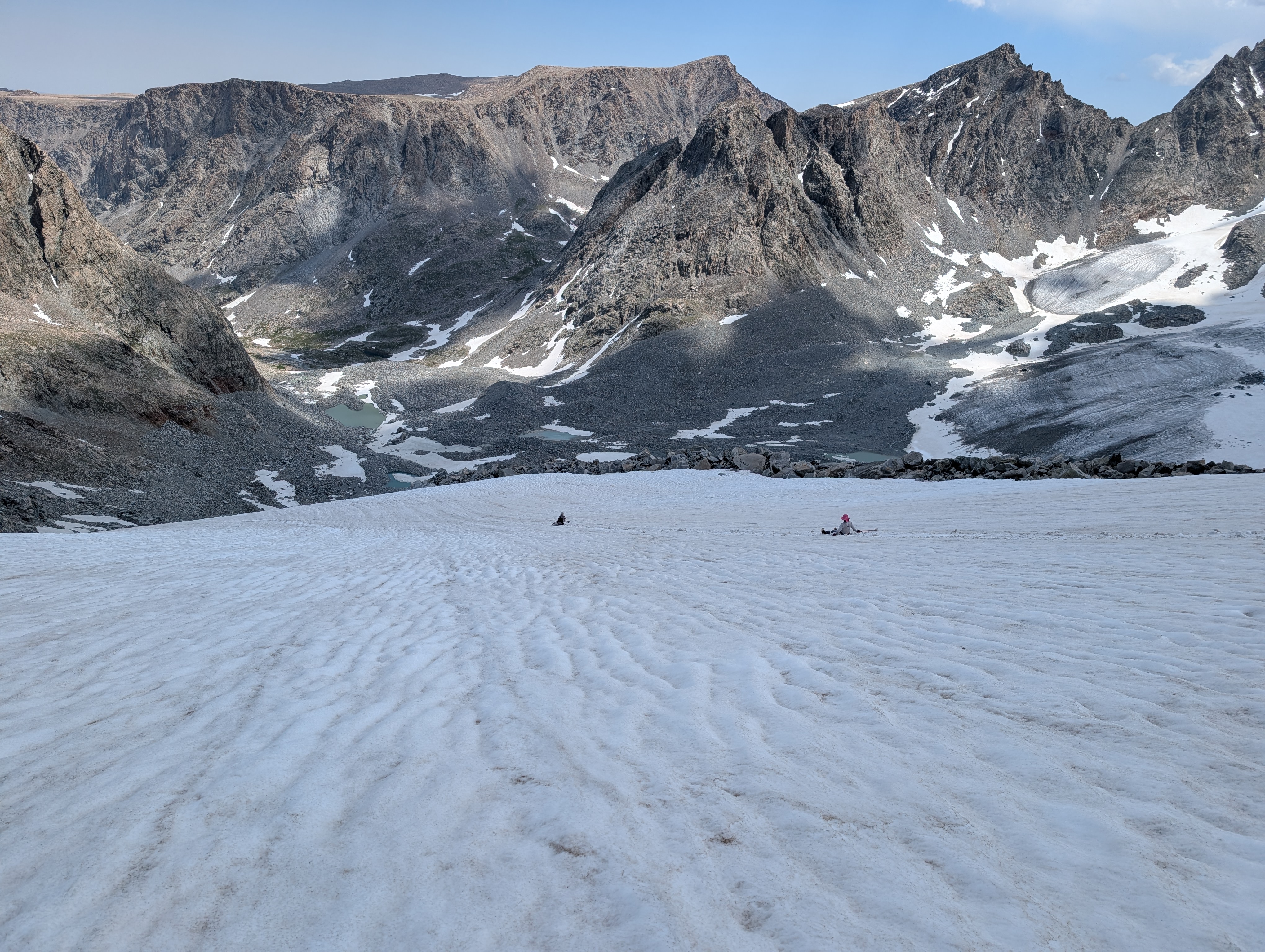
The weather was still hot and the day progressing but we were getting hungry. On the last rock pitch I’d recalled a rock cave of sorts and suggested we sit in there to eat our second tortillas of the day. Then we descended to some snow and seemed to be making excellent progress back to camp until we ran into the boulderfield again. It was just after 4 pm and threatening rain by the time we made it back to camp.
I felt a bit frustrated that we weren’t able to do this 4 mile section faster. Erik and I probably spent close to an hour just taking on and off our crampons, we’d had a lengthy and well-earned summit rest, and I’m slow in the boulders. But we finally did it!
Day 4 (7/15/26): End of Glacier Trail to near Philsmith Lake
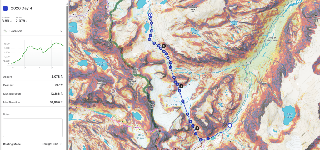
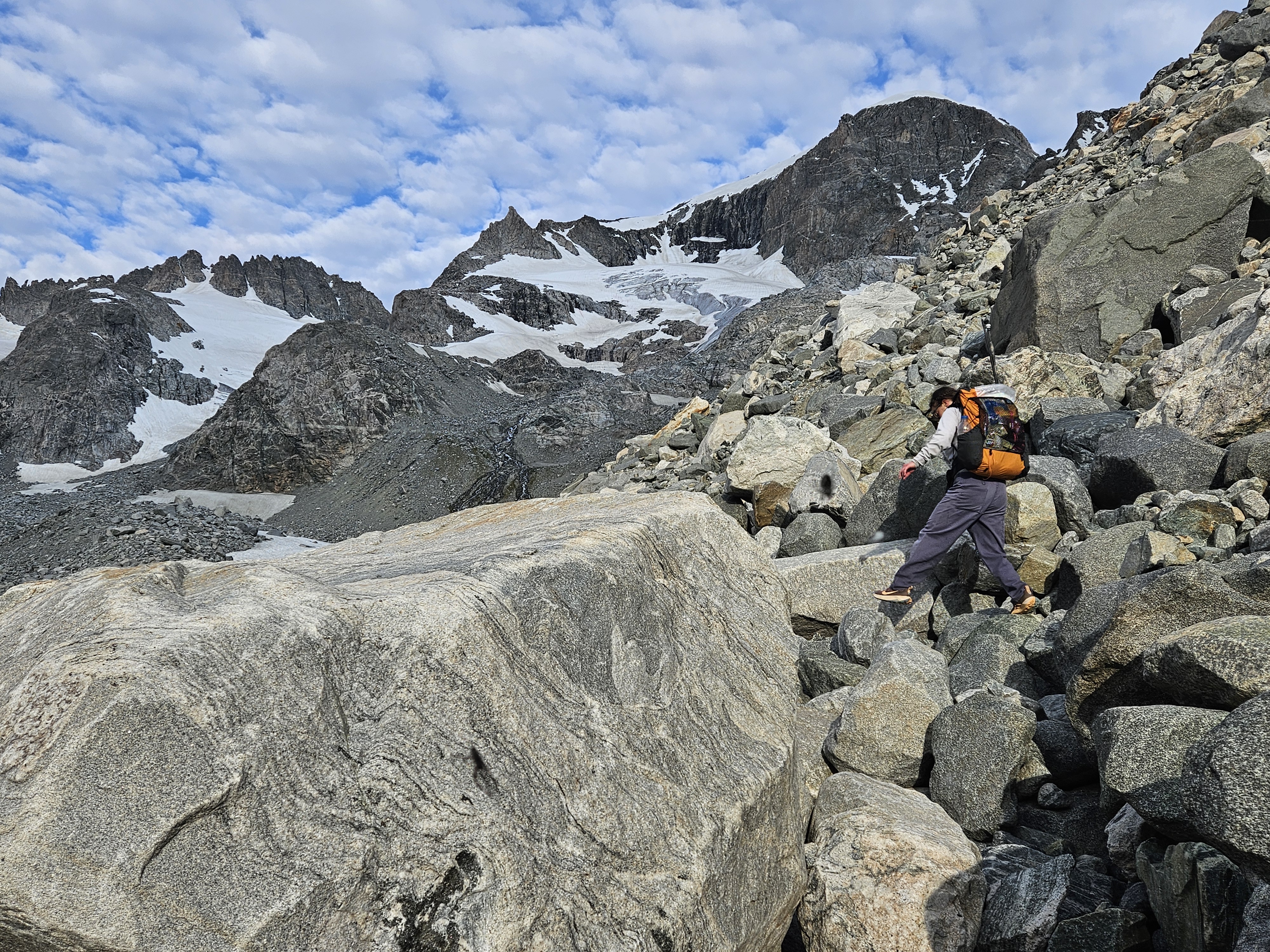
Despite waking to some cloud cover, we decided to complete our intended loop on the high route. We re-traced our steps from the previous day, then took a more north-side route. It was slow going through the boulders for awhile, but then we popped out onto some gravel and a campsite. From here we didn’t have too much more boulderfield until we hit a steep kitty litter trail. Then we hit snow. This was initially faster going until we got up to our first pass area. We didn’t get out our technical gear but instead used our poles and kicked in good steps. This felt kinda steep to me and on the edge of needing gear. There were a few rocks below us and I didn’t want to slip out. On the other side there was the Gannett Glacier, the biggest in the entire Rockies.
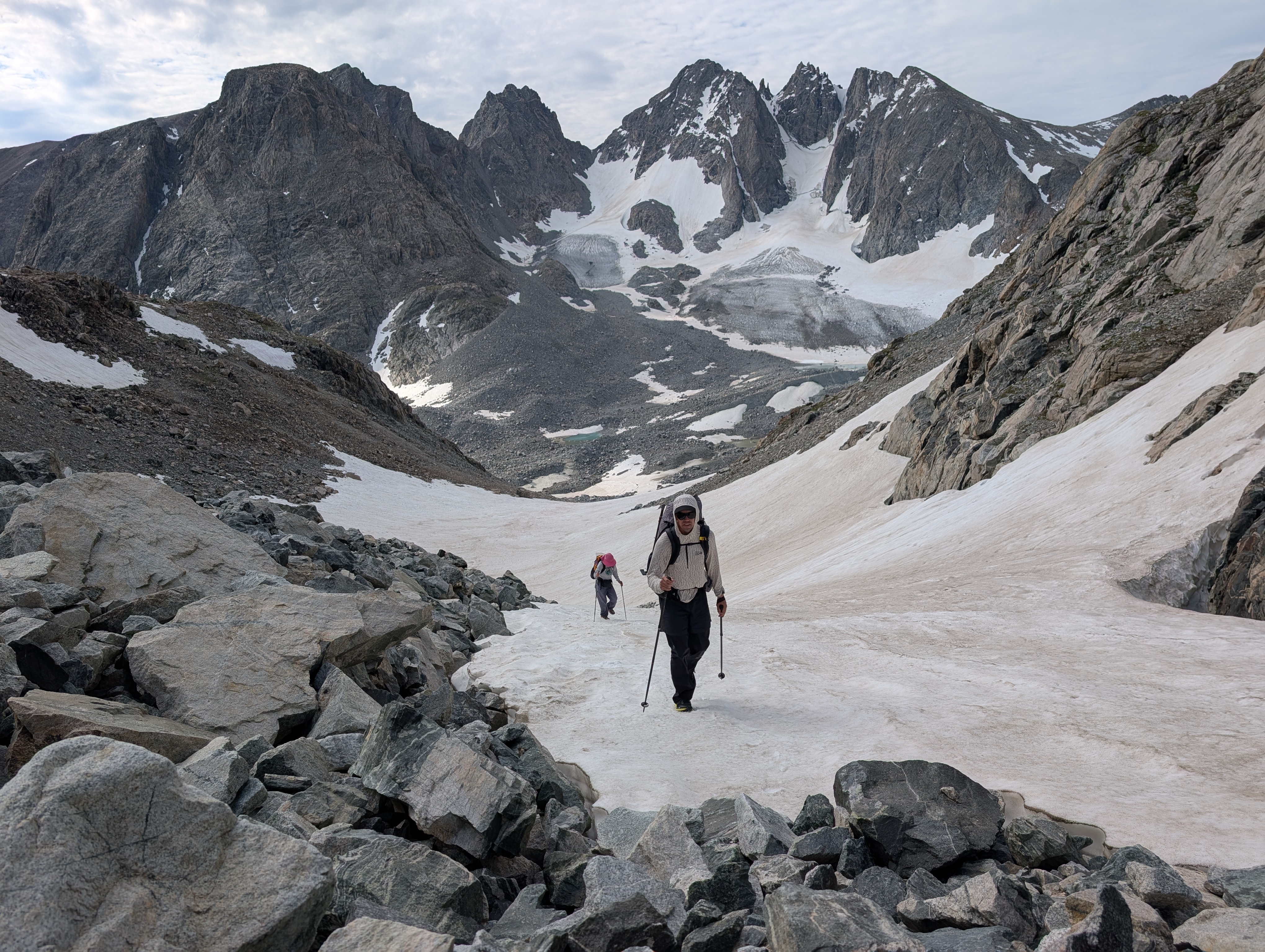
We took our first lunch break on some rocks and then headed across the glacier to the pass immediately to our north. The actual glacier walking was rather fast, sun pocketed, but pretty much flat. Here’s a blog from 2025 later in the season when the glacier wasn’t so pretty. But this next pass was fairly steep and so we donned our crampons and got out the ice axes. I moved slowly, making sure to always keep two points of contact with the snow. There was even a bit of a cornice towards the top that we need to scoot to the side of. I found this section pretty intense.
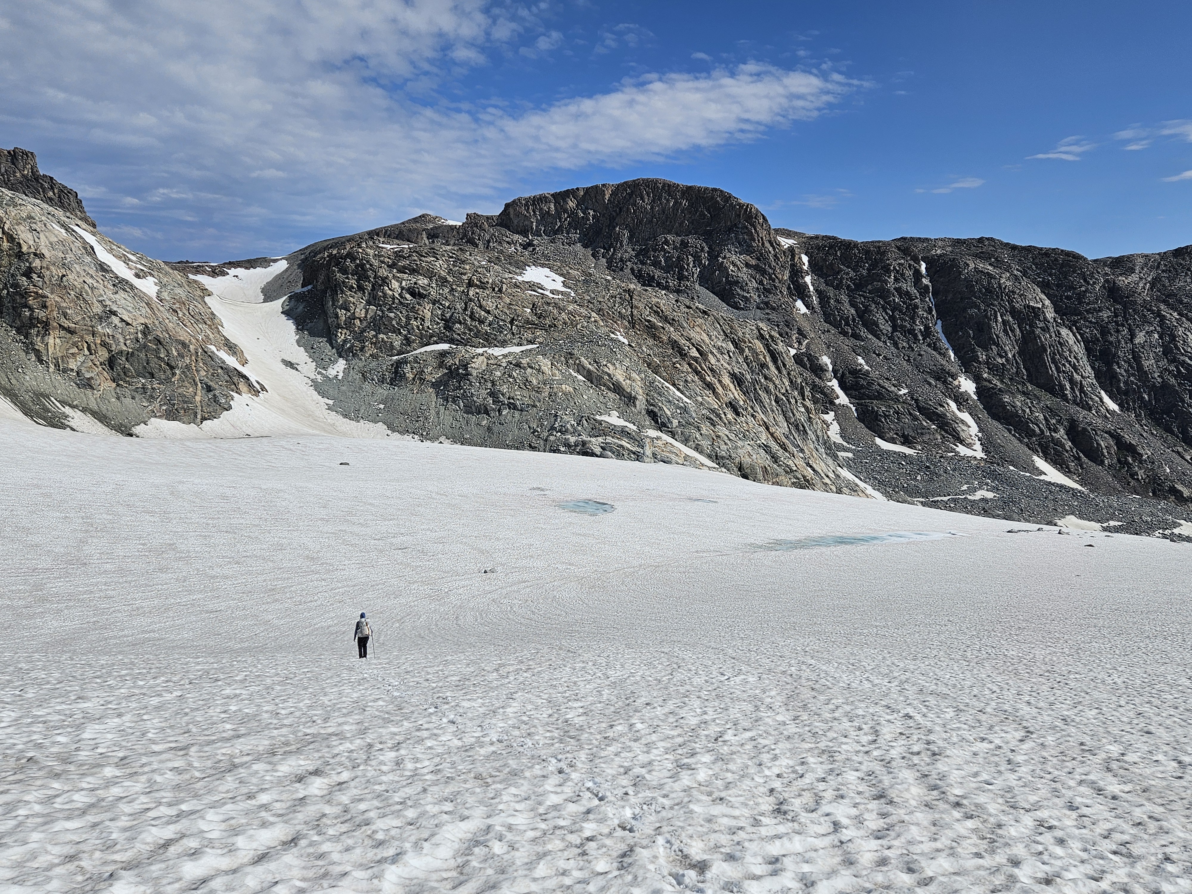
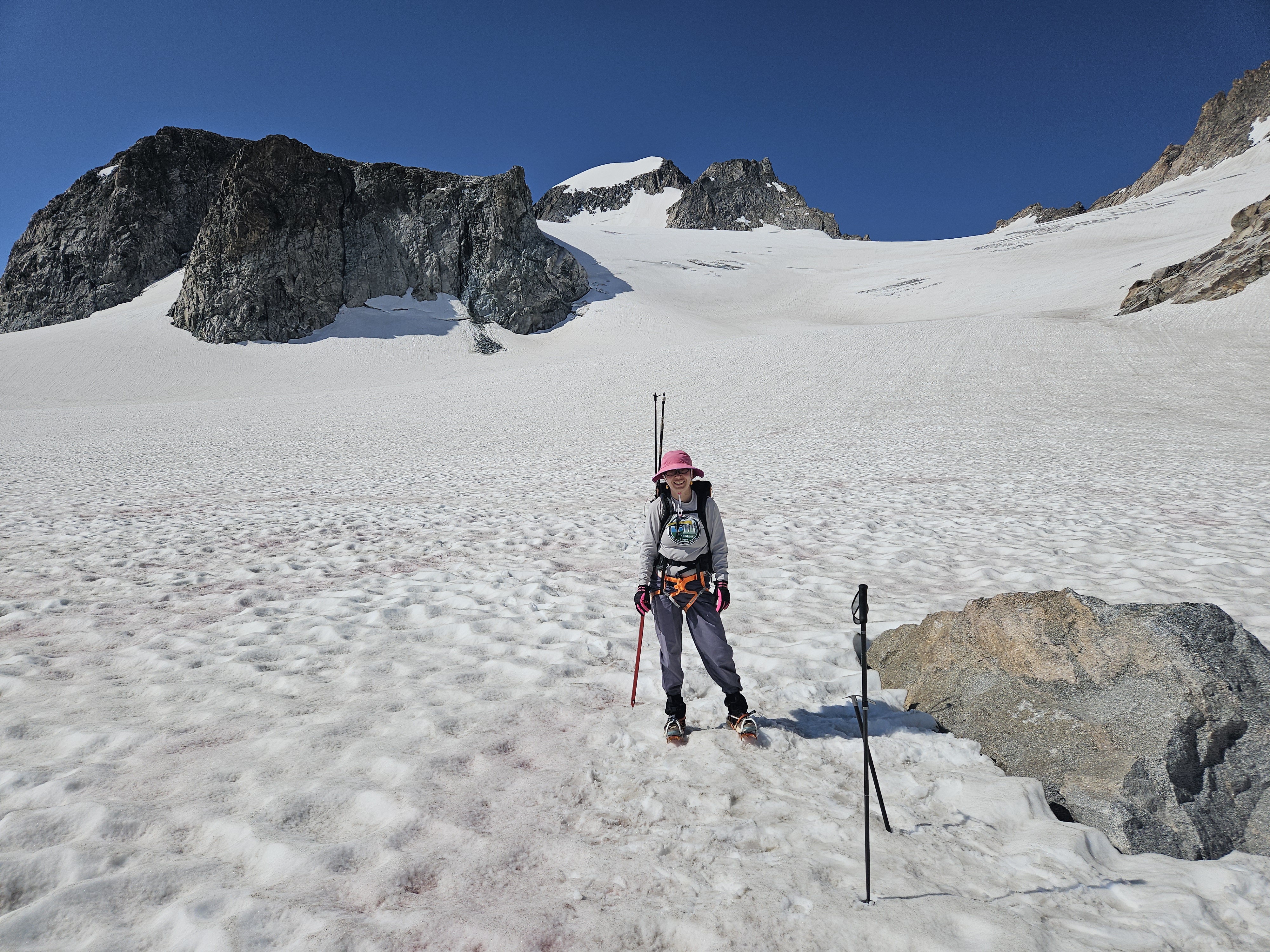
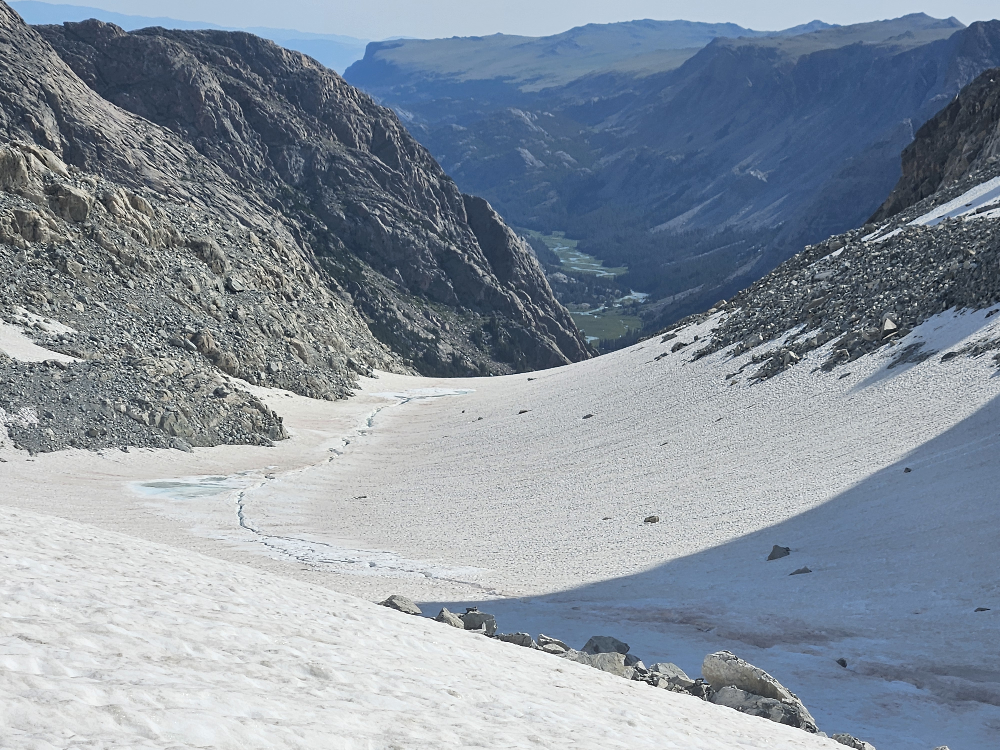
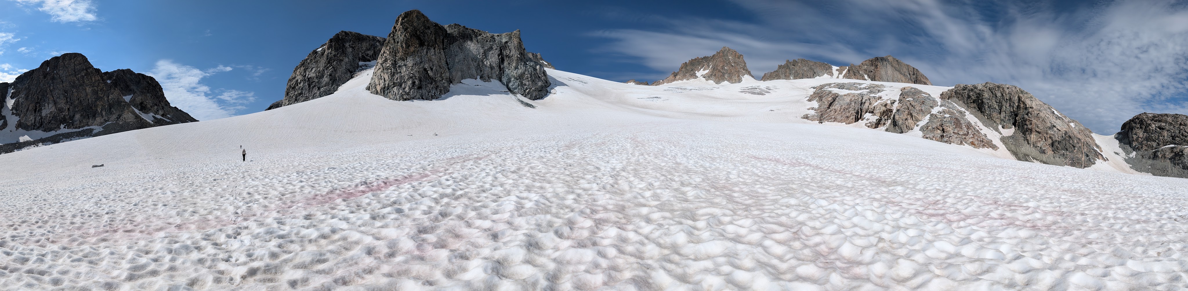
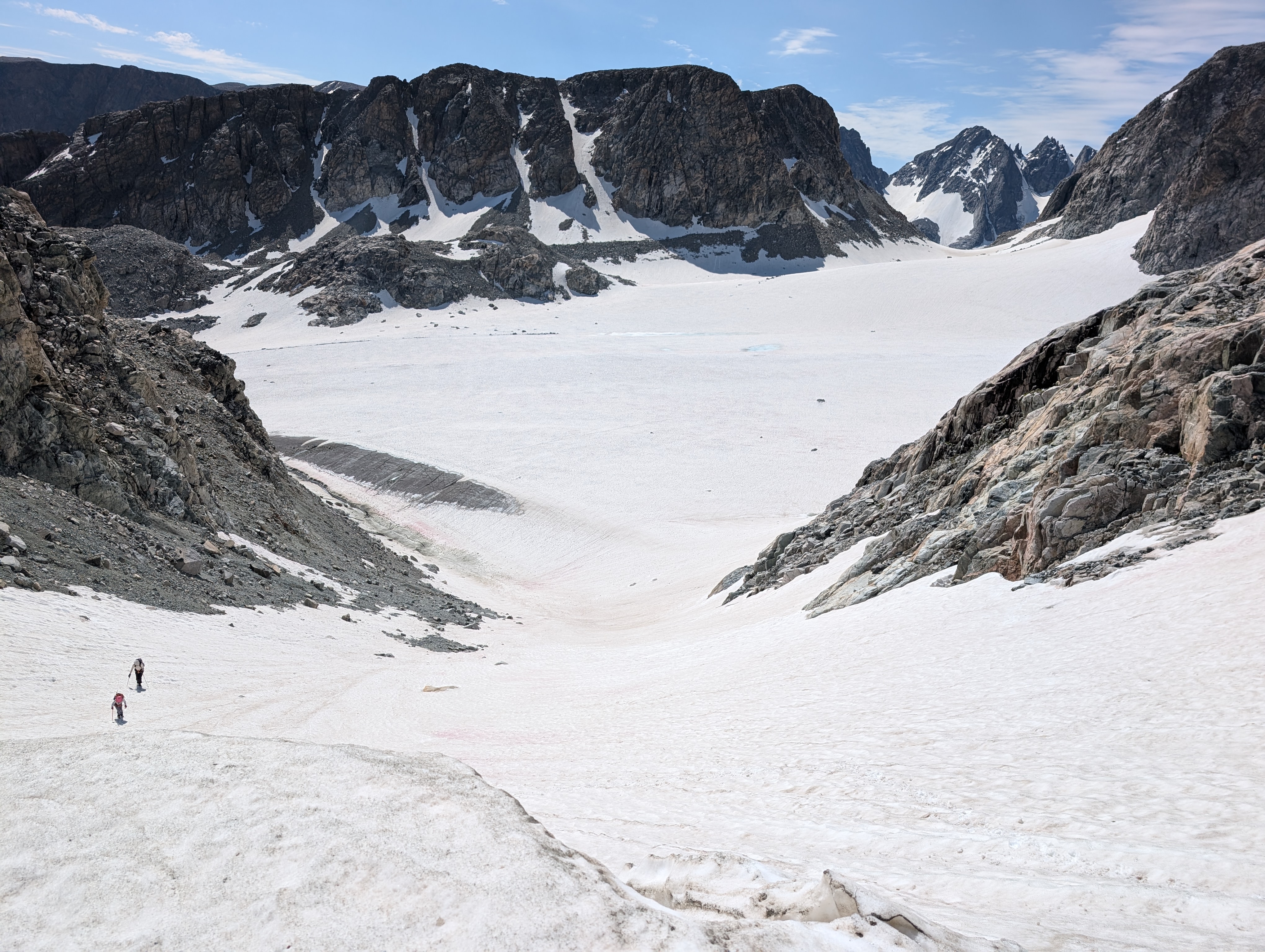
On the back side there was steep snow and I really struggled going down this with my crampons and ice axe. Once I finally got to the bottom of the steep pitch we were side sloping more. My downhill foot kept slipping out, and the crampons aren’t quite ideal on my running shoes. I was a bit miserable and so when we finally got to some rock I couldn’t wait to take off my crampons.
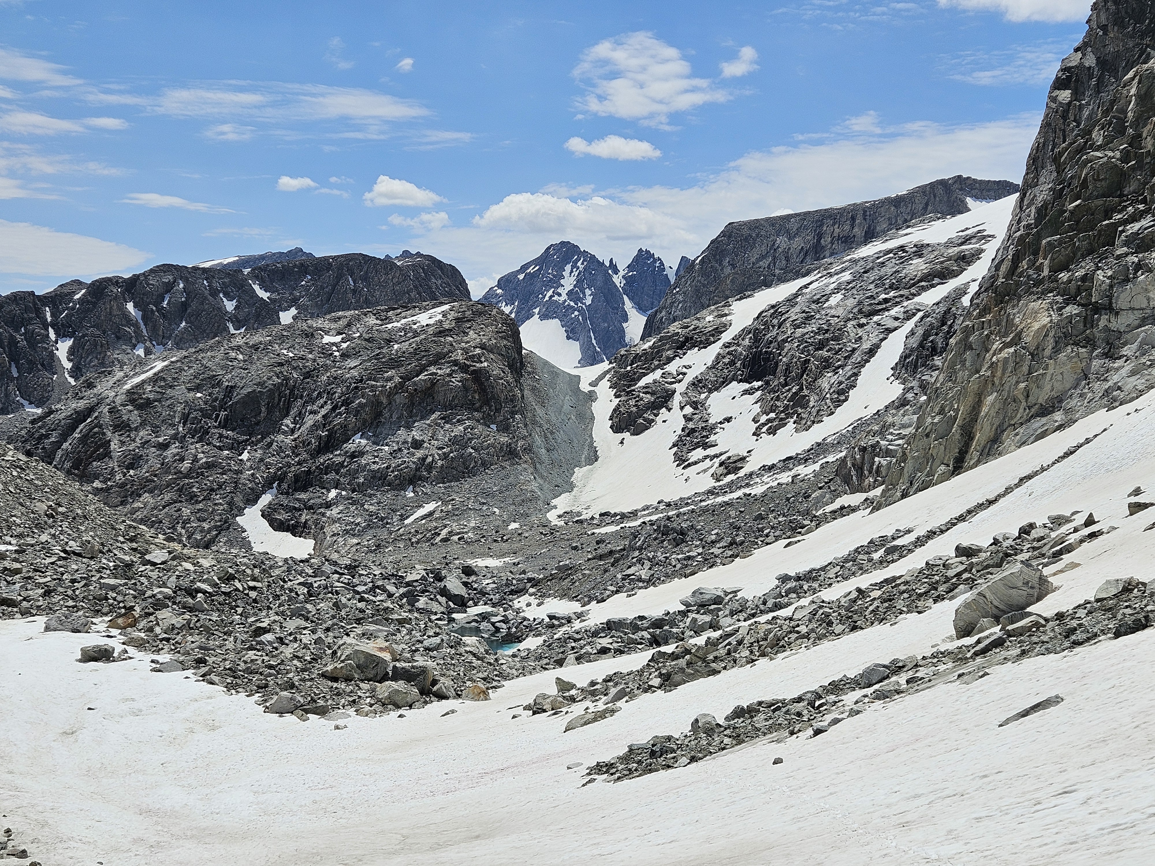
The next section was morainy with a mix of gravel, sinky mud, some boulders still in the ice, and some big boulders that were very unstable. We slowly made it through this area before finding more snow. Towards the pass the snow got steep again and a little more intense without any technical goal.
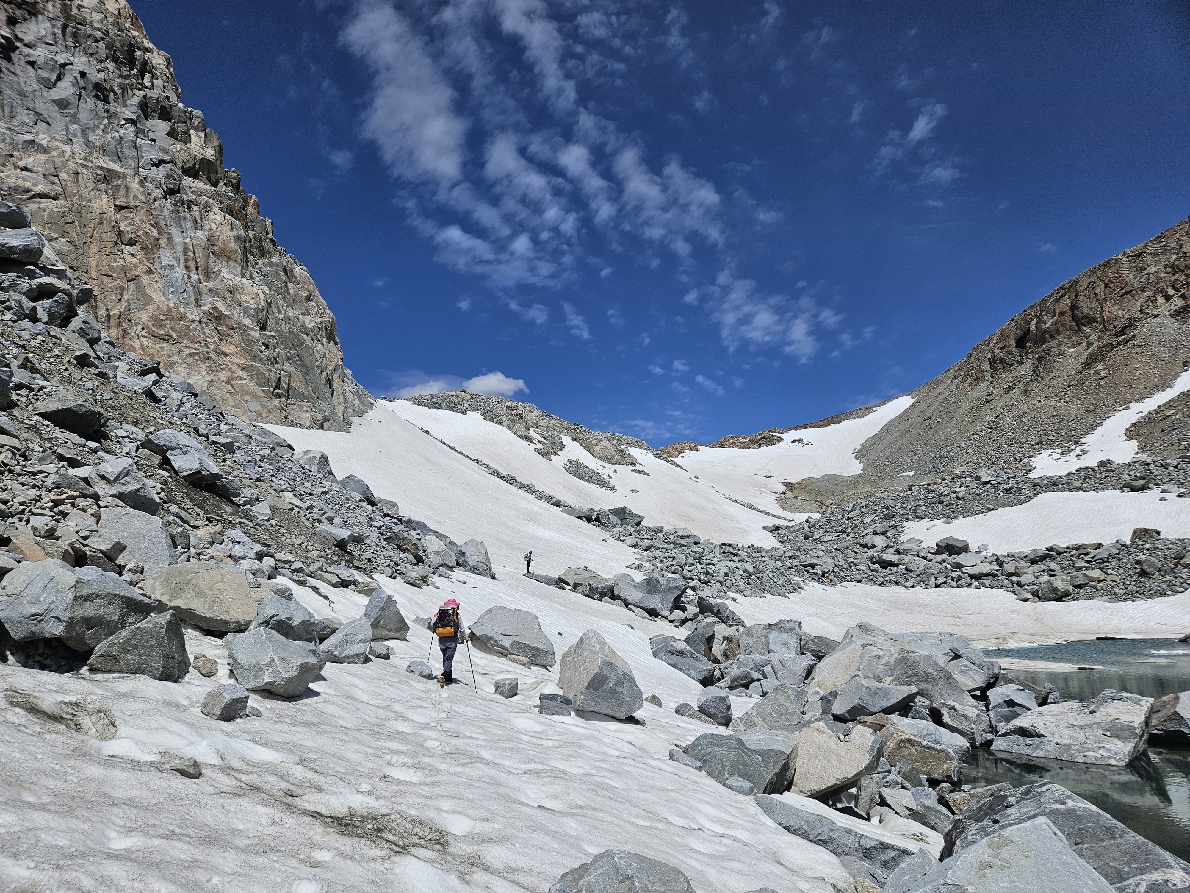
The actual pass was very broad and it took awhile until we were over it and looking down on Birdseye Lake towards Philsmith Lake. We saw some alpine sidewalk to our right, on the east side above the lake, and moved towards that to get a little closer to Philsmith Lake where we planned on camping.
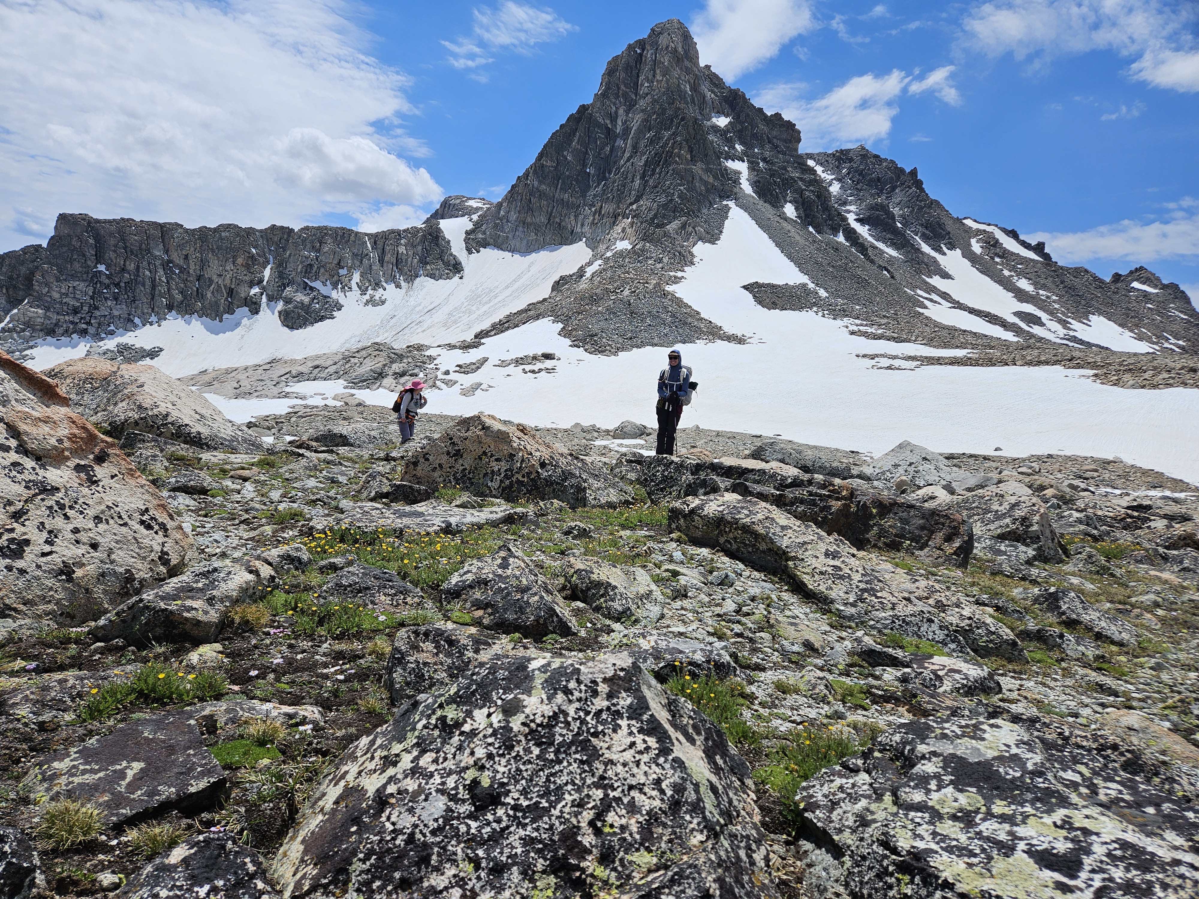
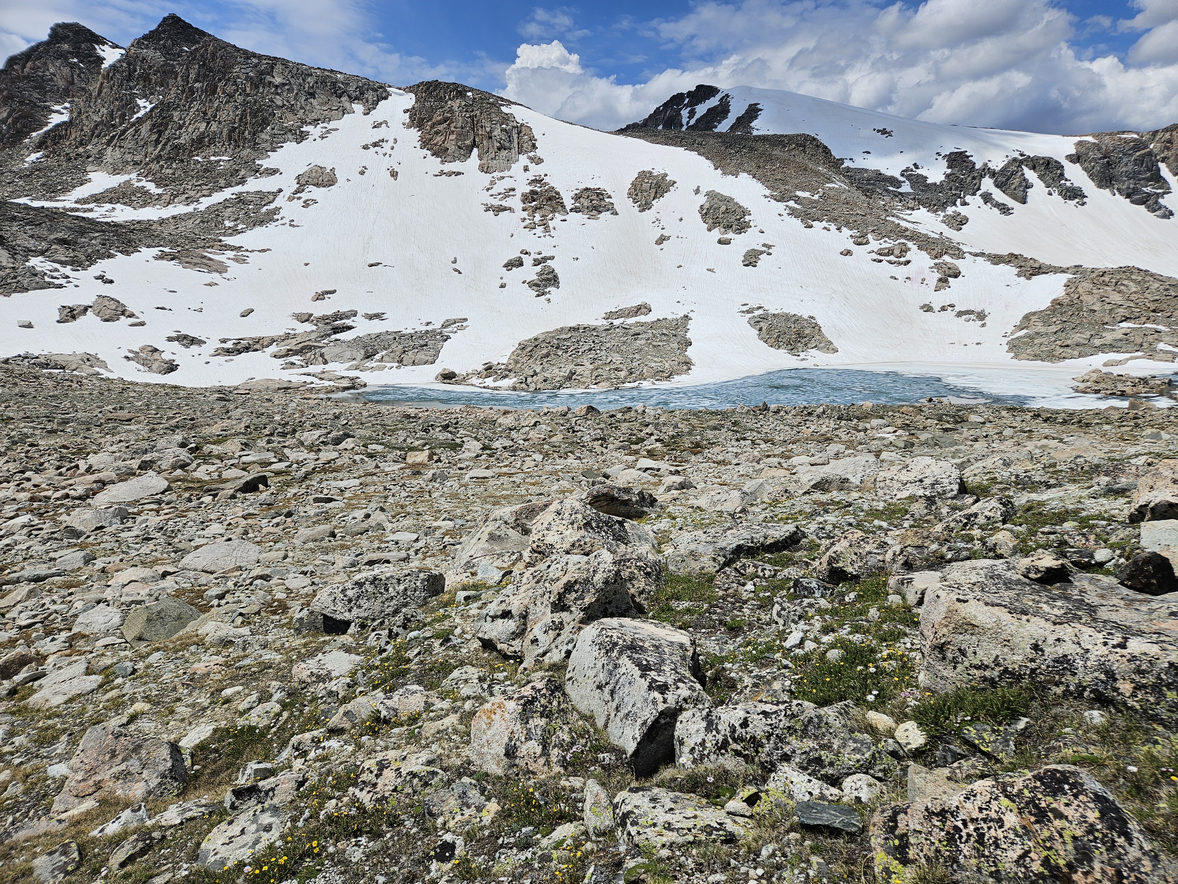
It turned out there were actually three lakes in this area – we camped a bit above the middle one which wasn’t even on our paper map and has no name on Gaia. Philsmith was largely still frozen with the Grasshopper Glacier draining and calving into it. We were near a section of stream between Birdseye and the unnamed lake that briefly was exposed between patches of snow. There wasn’t much for established campsites and it looked like the snow had just melted out for the season and so we found the driest and flattest gravel patches we could and set up our tents.
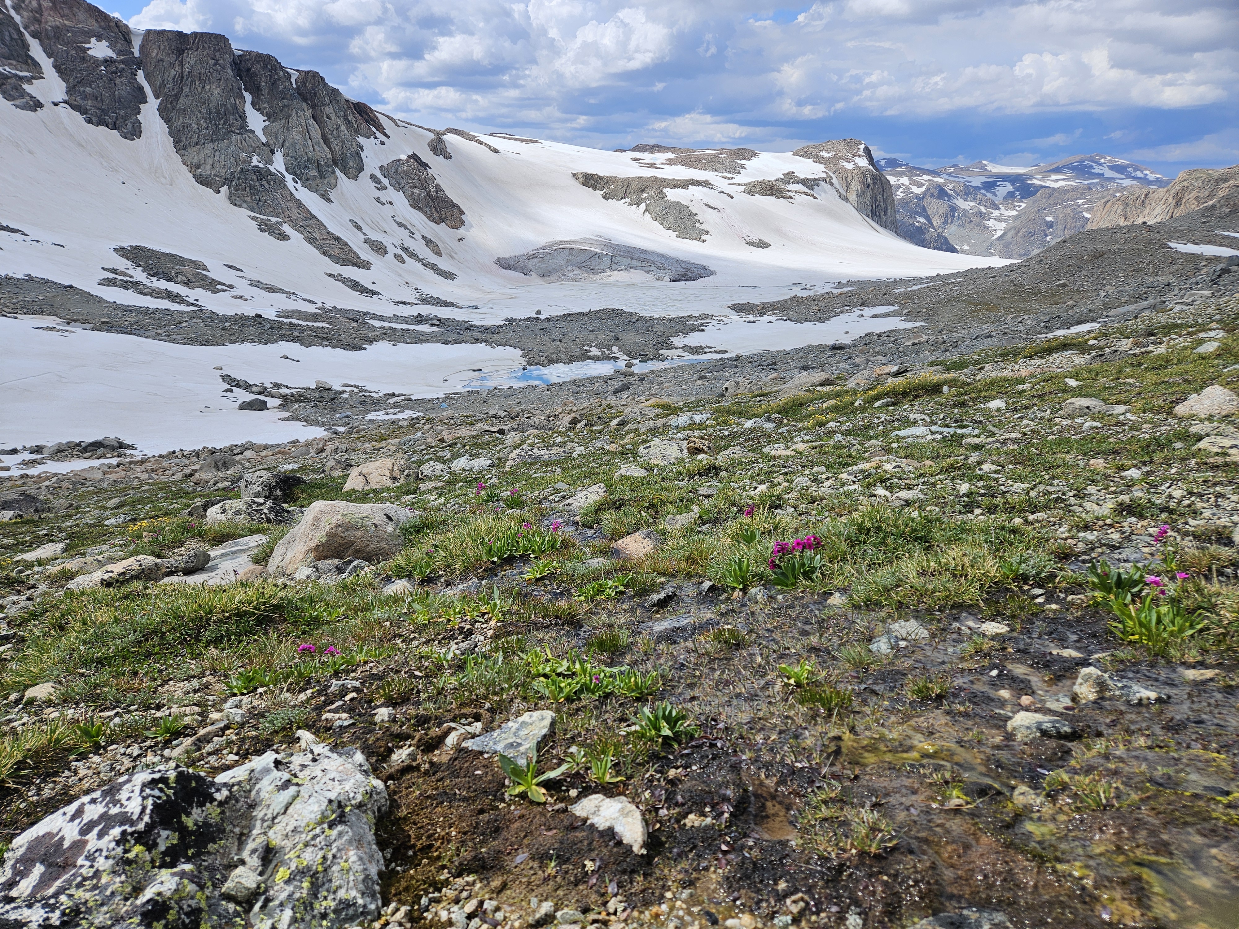
For the past couple hours there had been some threatening clouds rolling over, but they were all doing just that – rolling over. It was too early for me to get to camp and I was restless so I went for a slow hike upwards toward Philsmith Peak to our east. I wanted to get a birdseye view of Klondike Lake. Nobody else wanted to come along with the threatening clouds. I only made it to a sub-peak as there was a big boulderfield to the real peak. There was an amazing view back to Gannett though and of our high route for the next couple days so the climb was well worth it.
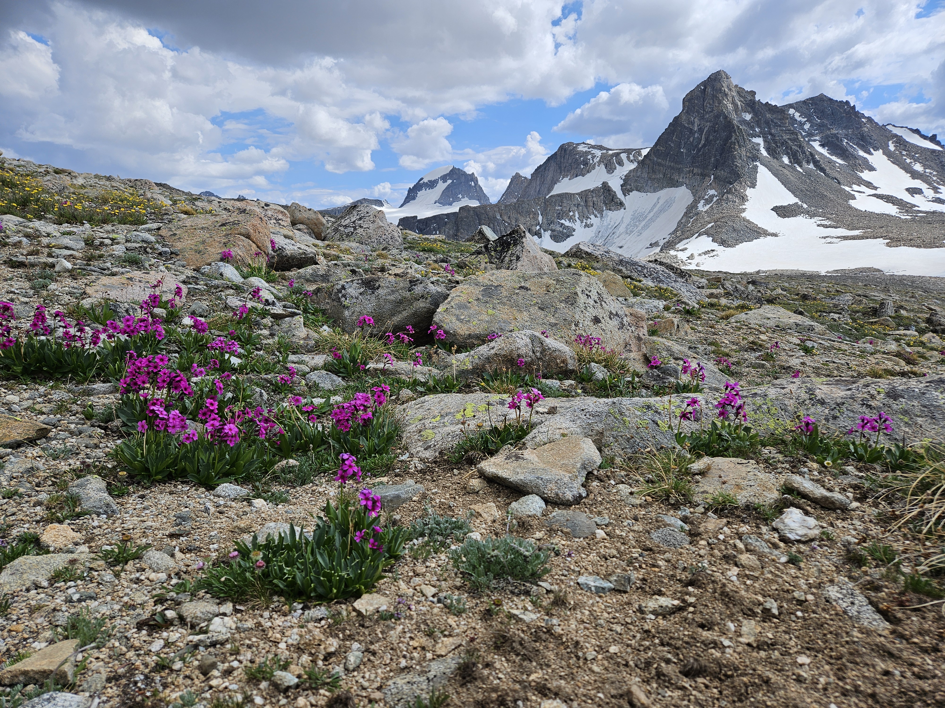
Back in camp we made dinner, our bacon ranch meal, and then took in the views. We went to bed at 9 pm, the same time it started raining and rained for awhile. Our tent was wet in the morning, especially the bottom!
Day 5 (7/16/26): Near Philsmith Lake to saddle by Yukon Peak
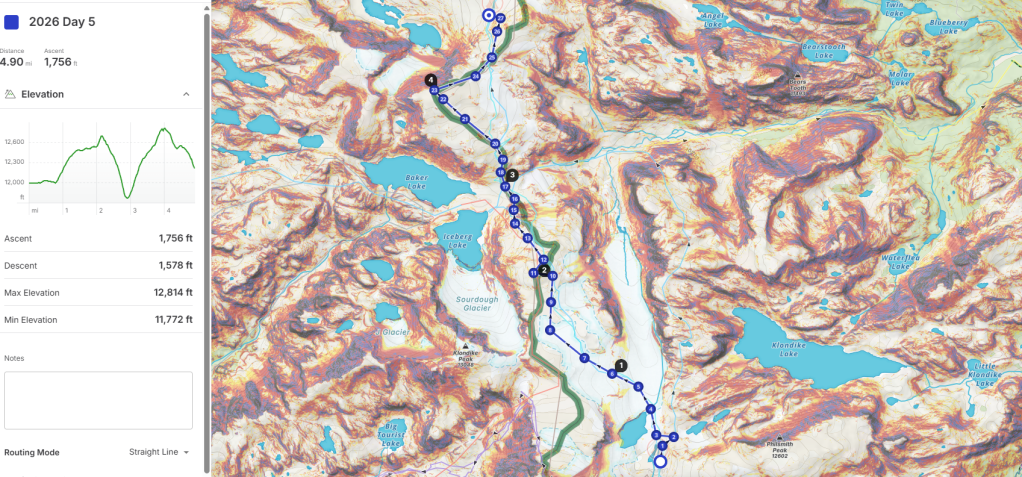
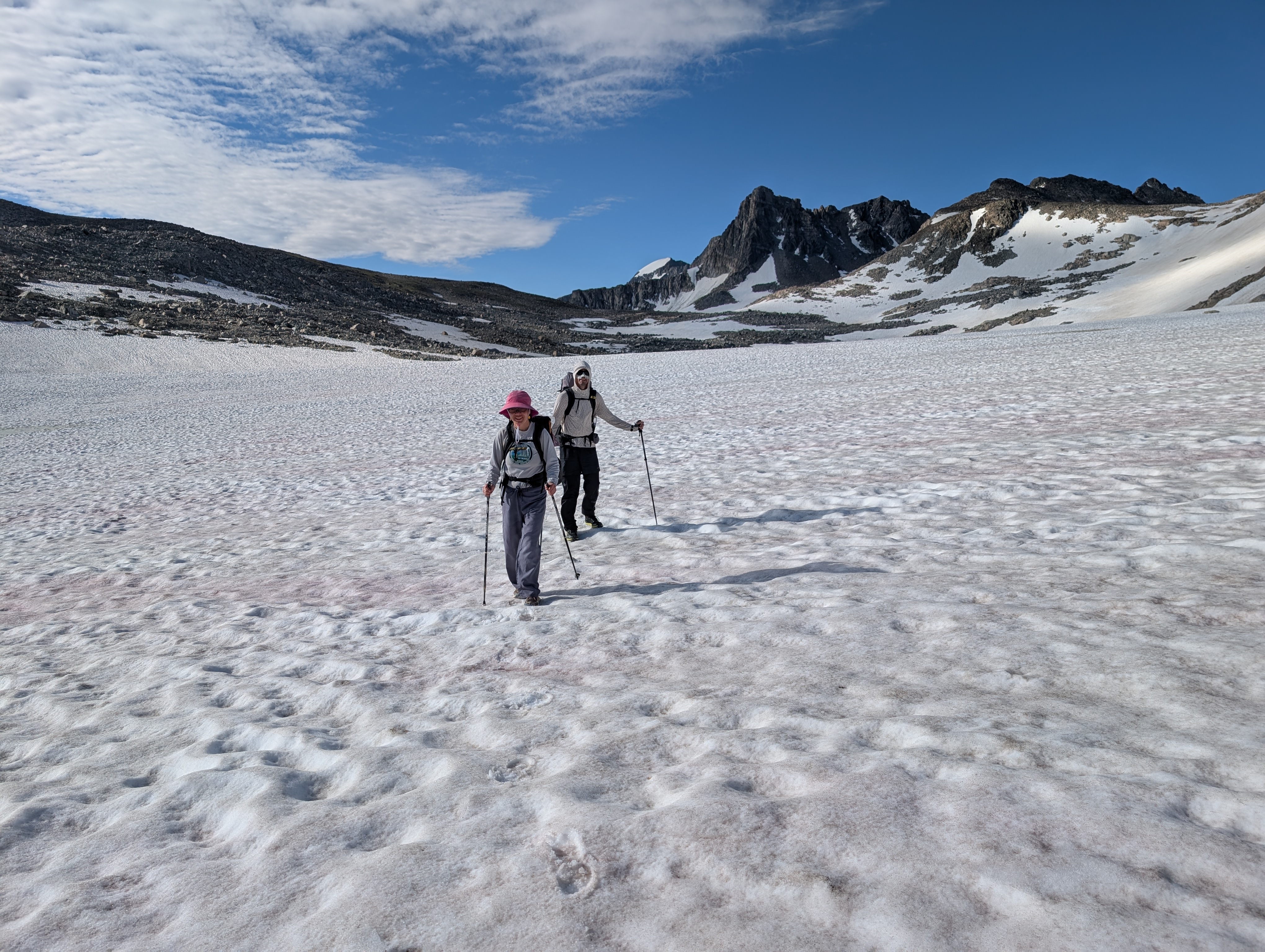
We lounged in camp long enough for the sun to come over the mountain to dry out our tents and soggy sleeping pads. Then we got to hiking. After side sloping along our small lake and making a quick detour to view the lakes that drain into Klondike Lake (so crazy that nothing has names in this area) we headed onto the Grasshopper Glacier to hike back up onto the divide. This meant we had to cross over the main flow which was a bit of extra teal snow under us. We crossed one at a time. It’s always so hard to know how deep the glacier is underfoot, all I knew was that it had to be 30-50 feet in the section where it was actively calving.
The grade wasn’t too steep as we made our way up the Grasshopper to the north of the rocky outcropping and we didn’t need any technical equipment. There was, however, a definitive line in the snow that suggested a possible crevasse opening up. Then the area flattened out and we kept hiking north until we ran out of snow, but not before we did some post-holing. We decided to go for the nameless peak that only has an elevation – 12,705 feet – to get some views of the Sourdough Glacier and Iceberg Lake next to Baker Lake. Some of the climbing was alpine tundra but near the top it was just boulders. The view was impressive though, although much of the Sourdough Glacier was hidden below us.
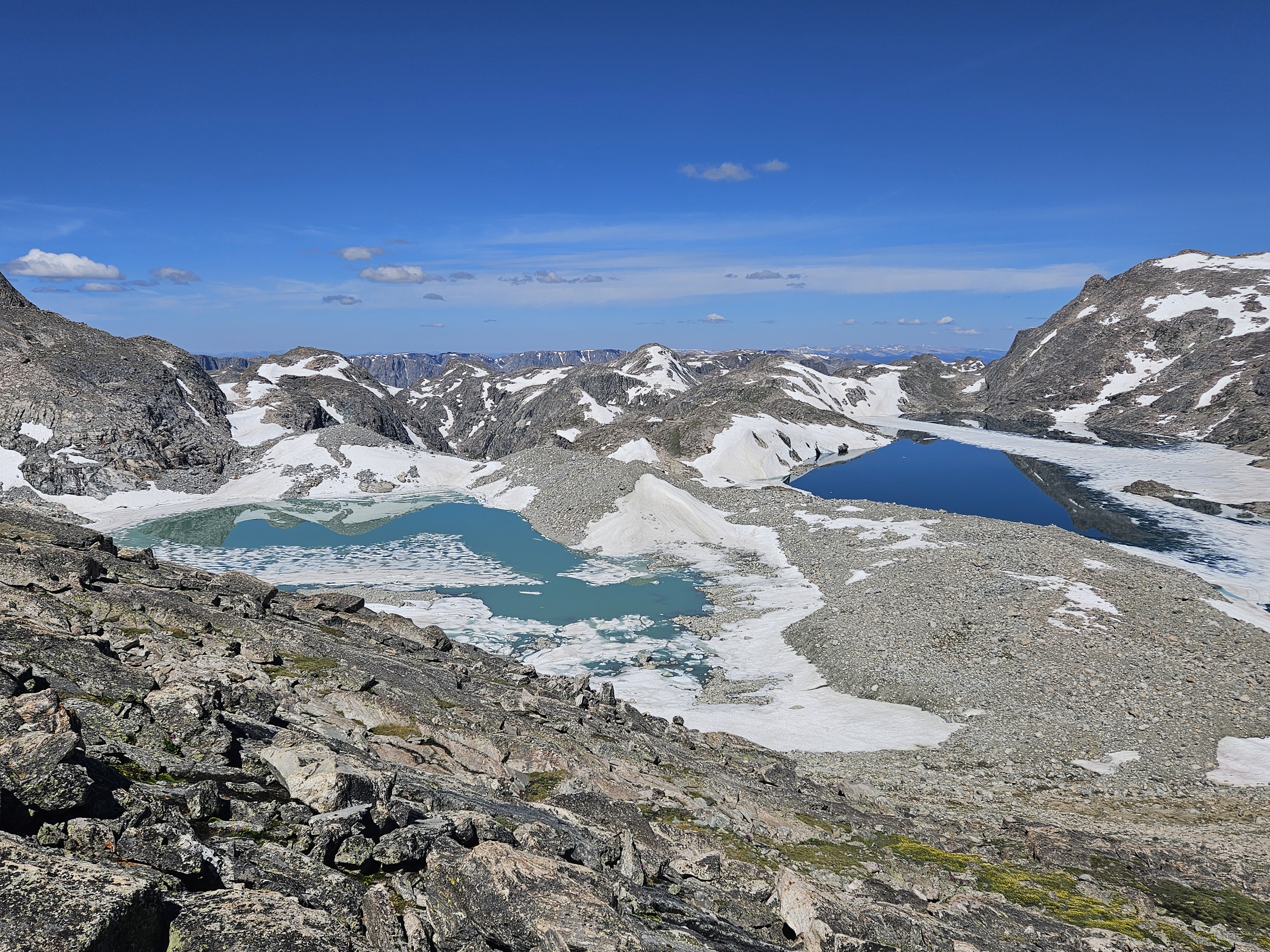
Next we had to descend to the col. Per my Google Satellite scoping I thought we might hit a bit more alpine sidewalk on the north-northwest side of the peak. I was right but this eventually ended and we got a bit too far on the due north side before we got down to the col. Then we had the ascent of Yukon Peak. We’d saw an obvious route coming down from 12, 705 foot peak but once this ran out it was a bit of wayfinding as the Yukon is broad on the south side with a number of rocky outcroppings. We kept hiking higher and higher until we were just on boulders. Once we reached the actual summit it was baking in the heat.
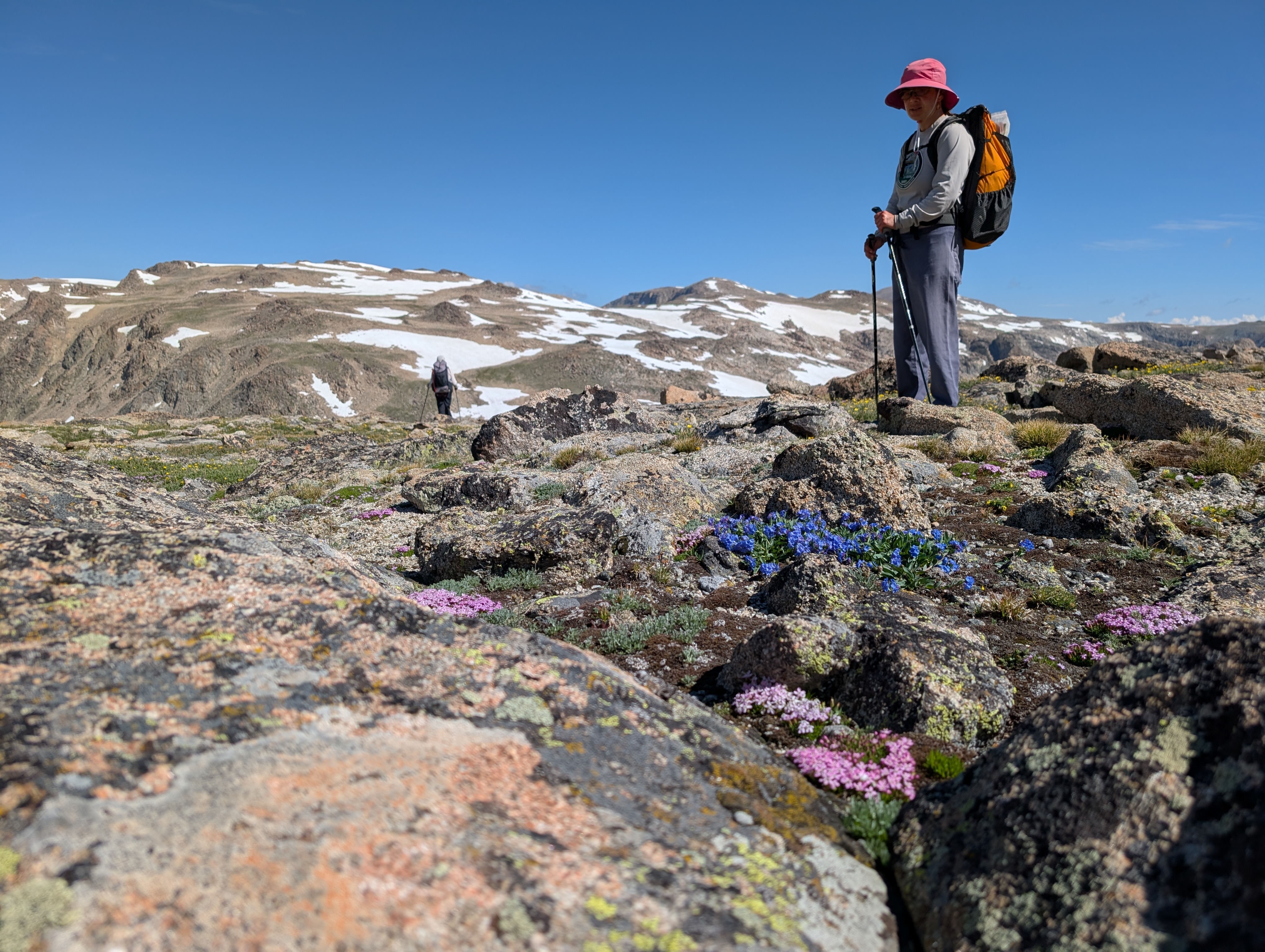
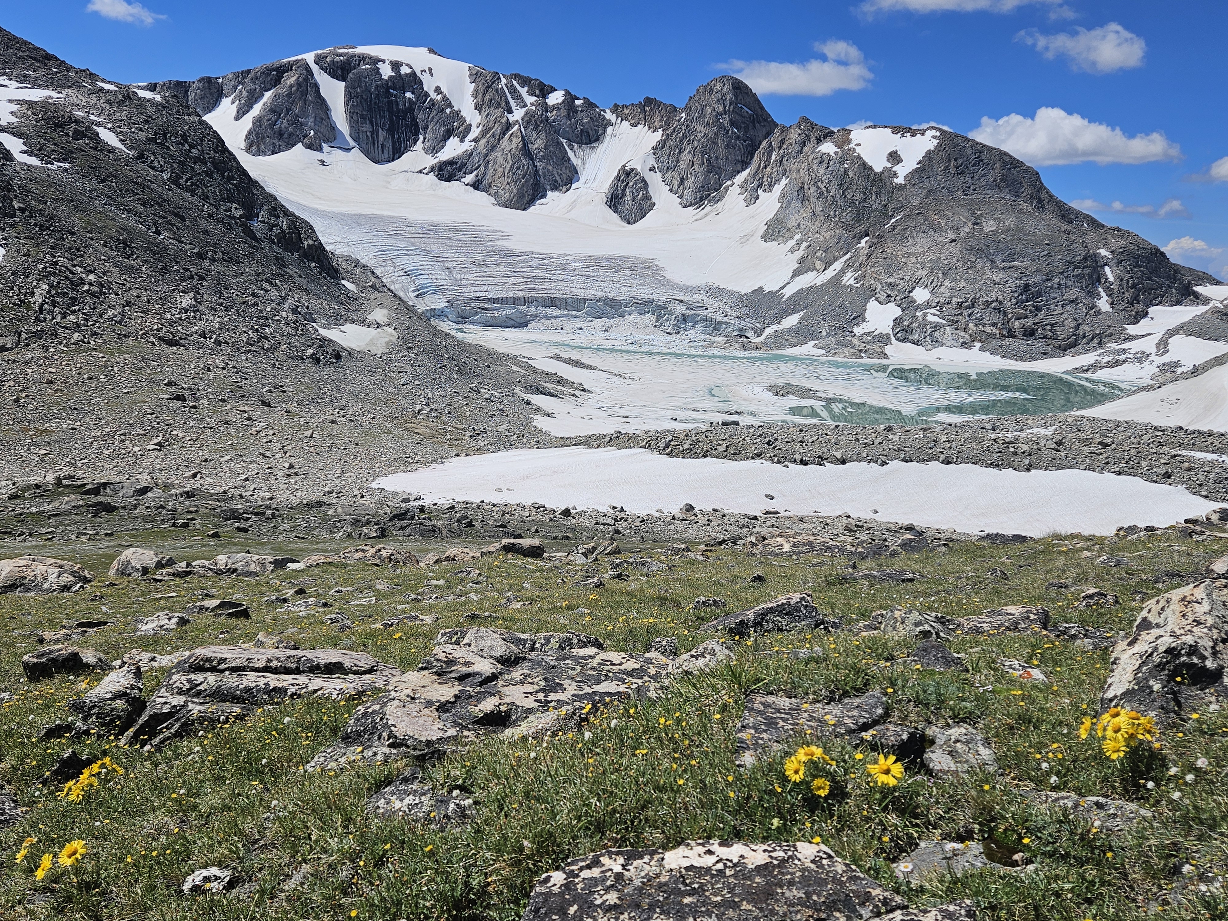
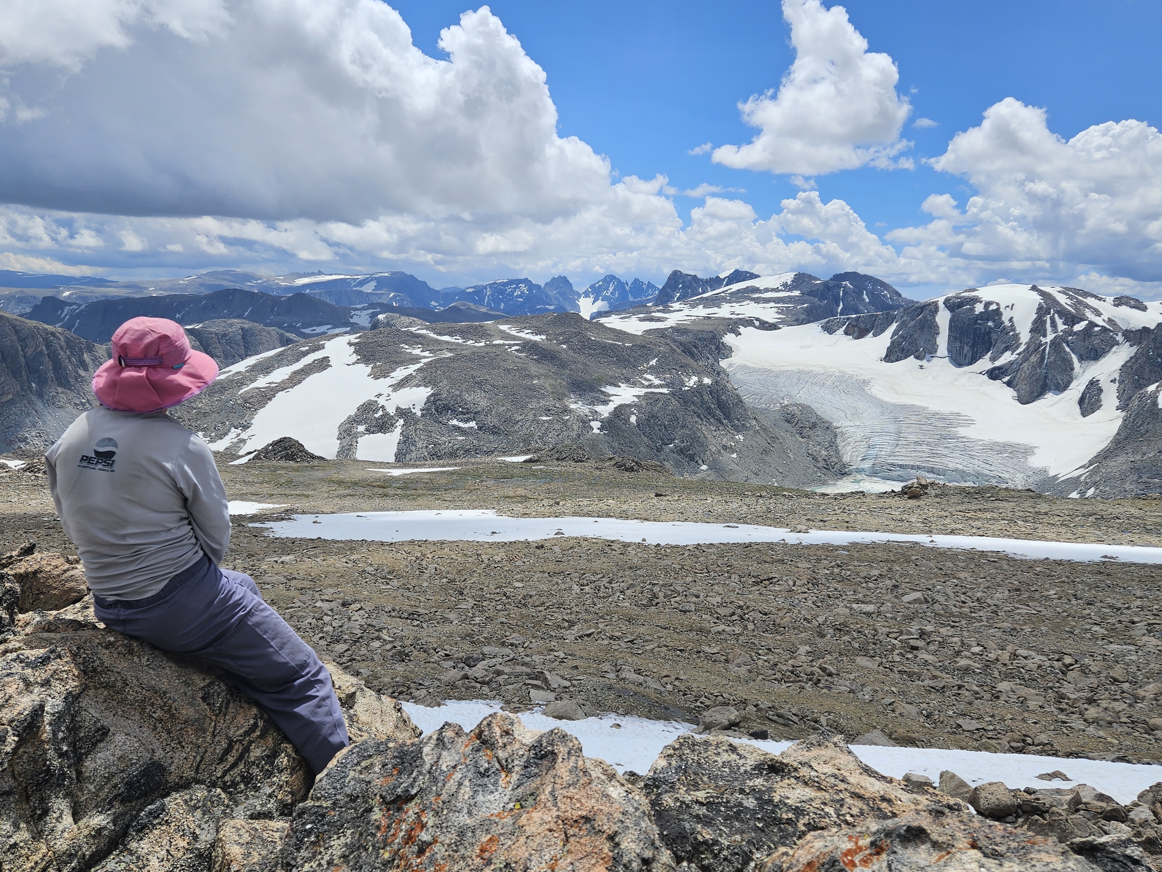
The view off the north side was new.
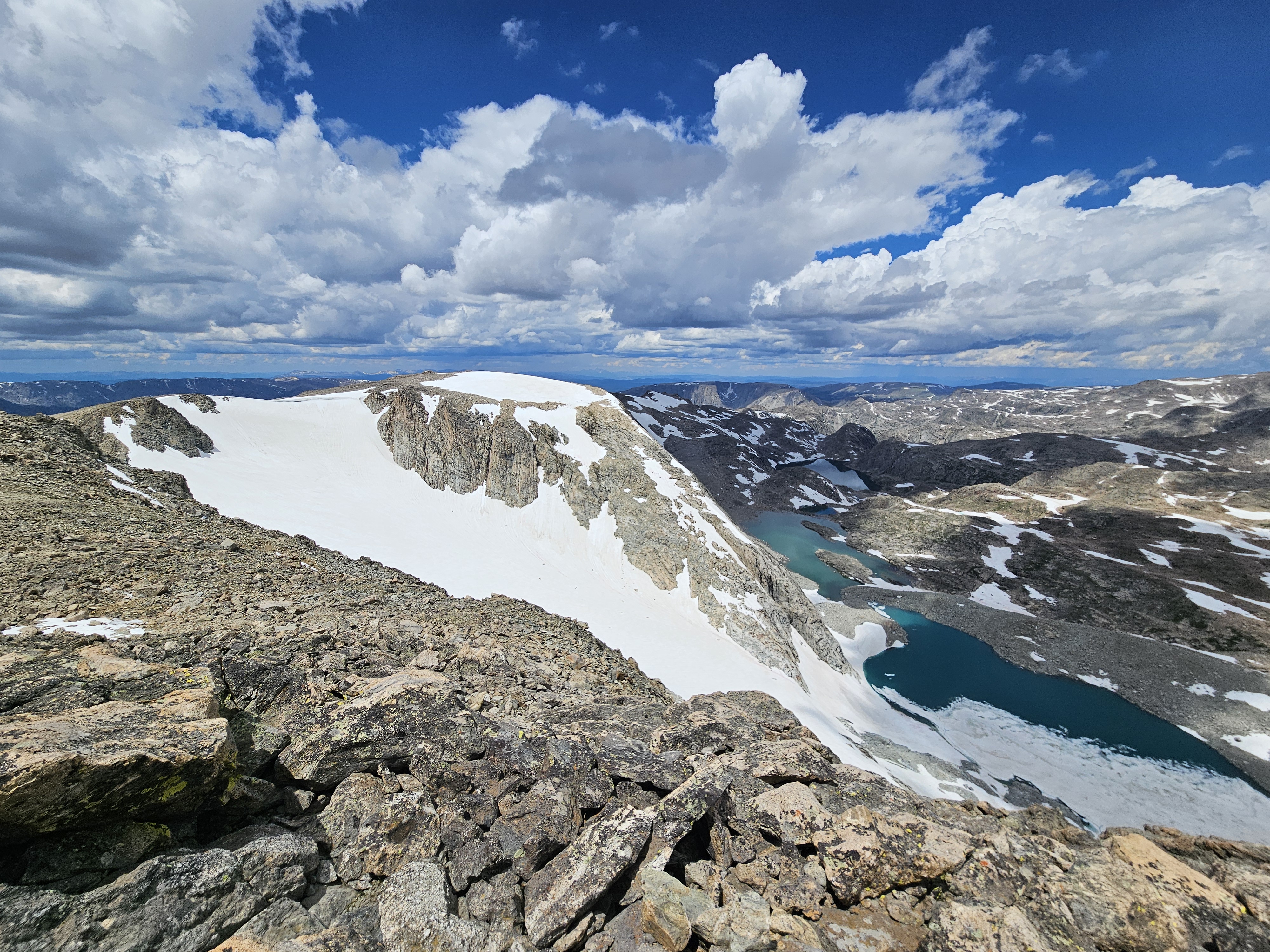
But alas, there were some threatening clouds coming in so we made a plan to head to the next-next saddle and look for a campsite. After scrambling down some rocks, we found a snow patch on the east side of the mountain that we quickly descended as we didn’t post-hole and the grade was gentle enough that I felt comfortable. Then we began skirting around the northwest side of the next mountain on the divide, another unnamed peak at 12,702 feet. From here we eyed a spot just below the next saddle that looked like there was some flat gravel that had perhaps been camped on previously. From this camp we had an excellent view of the Connie Glacier and could see all the way to the Tetons!
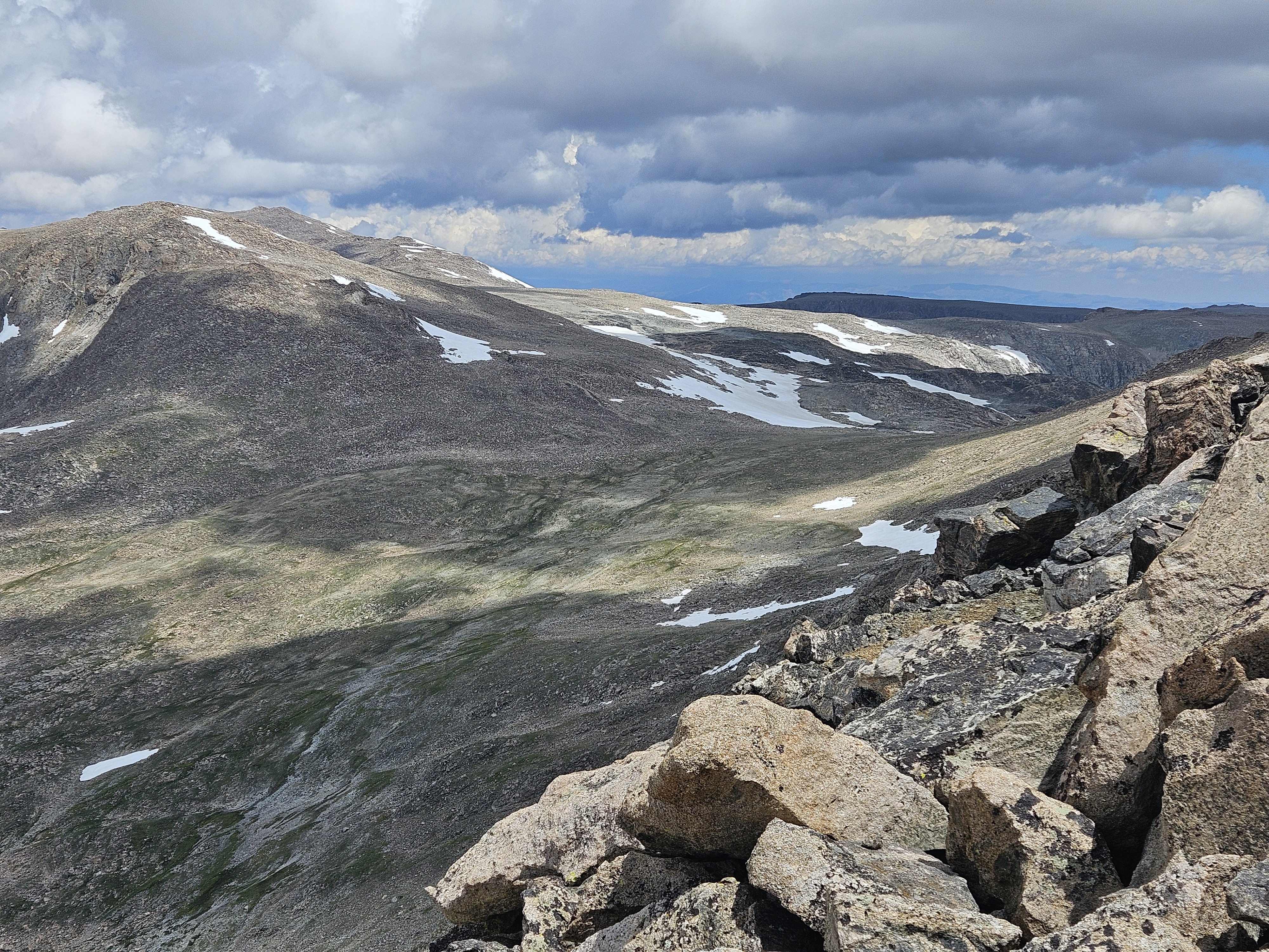
There wasn’t much water here though as the water coming off the snowfield all ran under the rock, but a little closer to the fall line from the pass we found a couple open pools. As we set up our tents the weather continued to threaten and we got a bit of rain but then things cleared up again so we hiked to the top of the pass and took some photos. Near dinnertime the clouds appeared more threatening so we made dinner a little early (Kathryn was our cook and whipped up some delicious Italian spiced couscous) and when we were just about done we had our biggest rainstorm of the day.
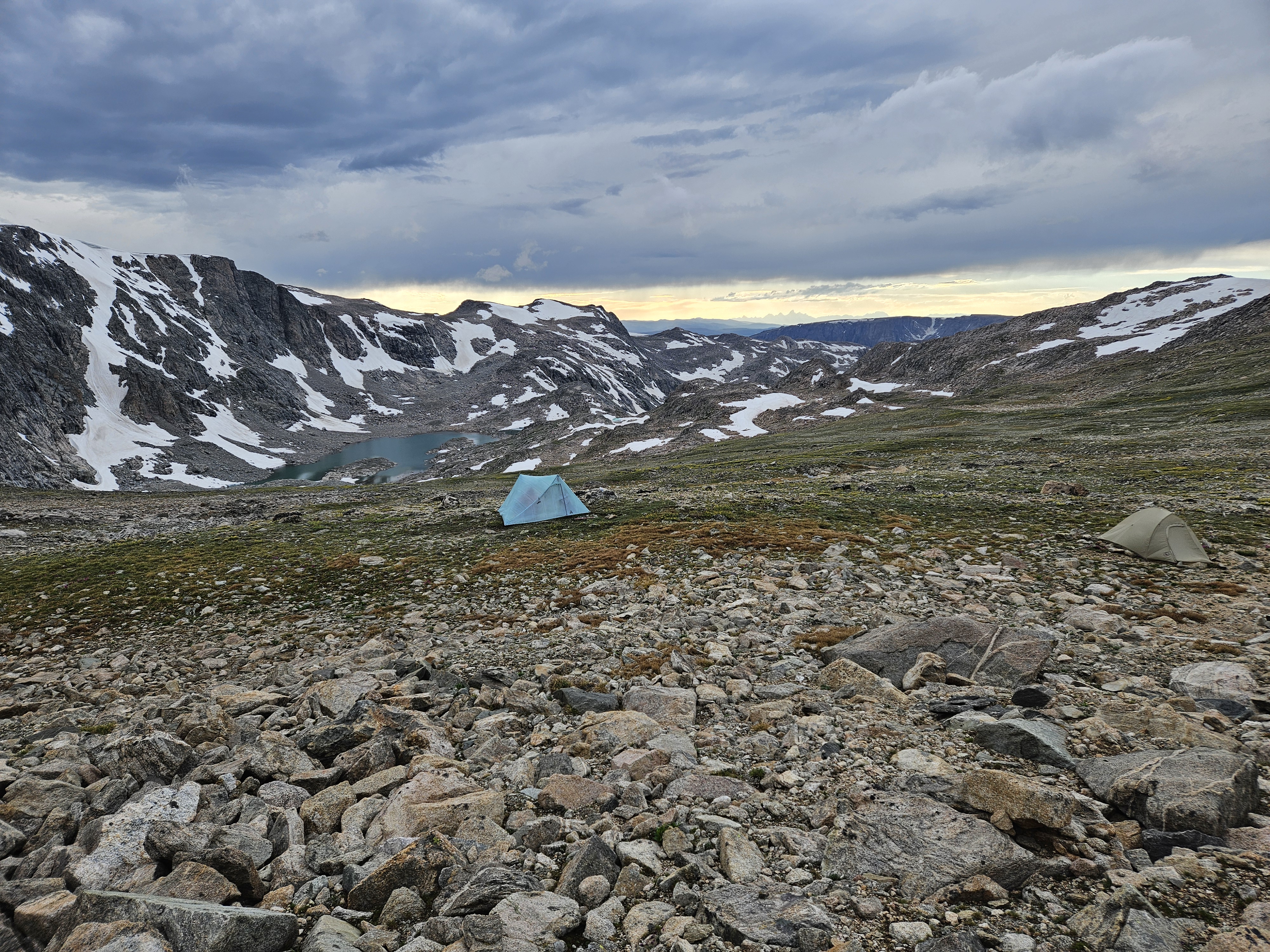
After that we enjoyed some more views looking towards the Tetons.
Day 6 (7/17/26): Saddle by Yukon Peak to almost Williamson Corrals
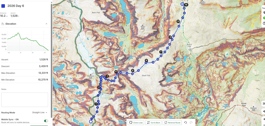
We got up early and were moving by 7 am with a plan to do 11 off-trail miles. As we packed up camp, the sky threatened rain and we donned our raingear. The storm passed and things began to clear up and there was a rainbow over the Tetons. I had the sneaking suspicion that we might just get saved from traveling in the rain on this trip.
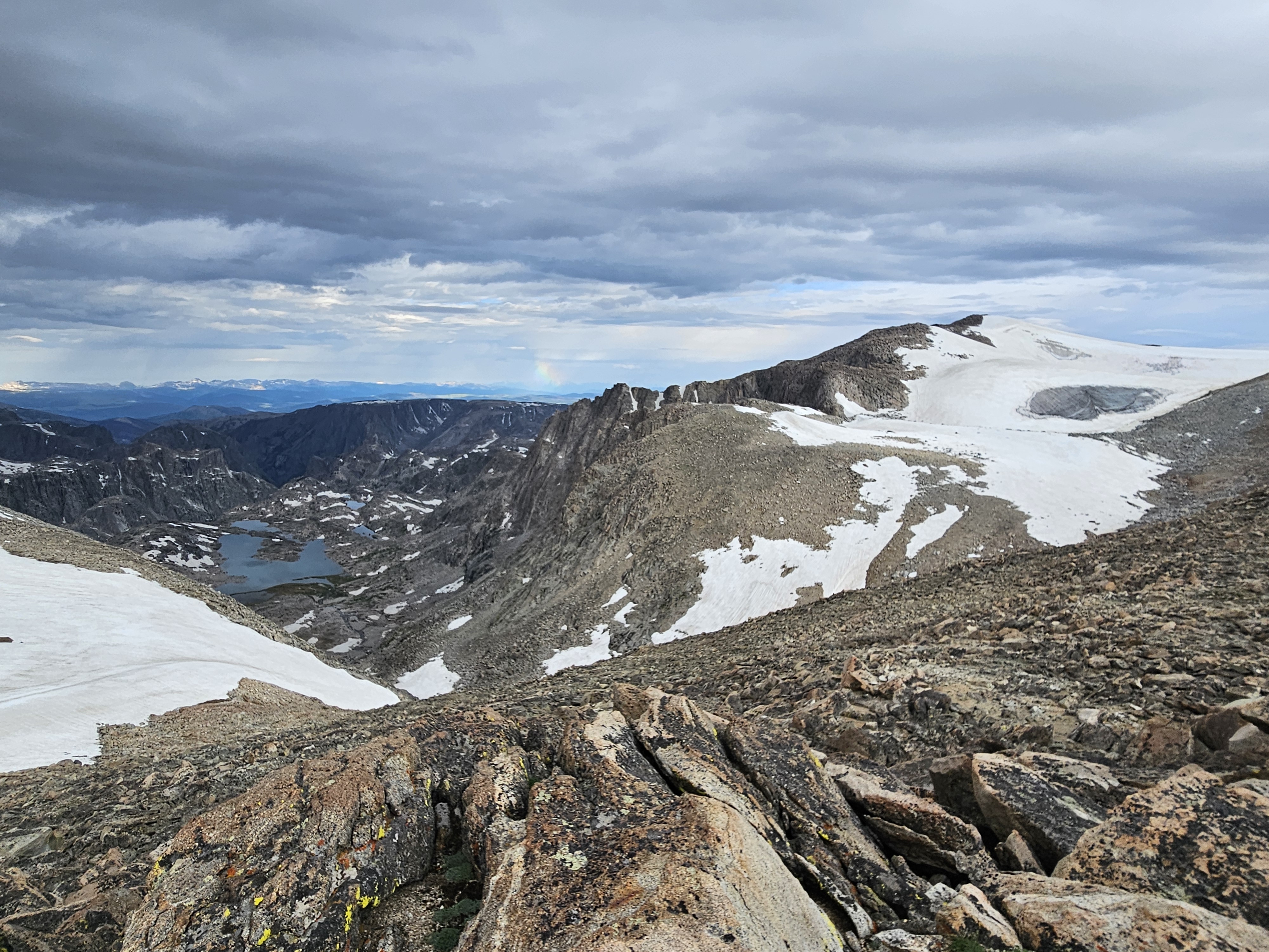
Things began ok as we side sloped on some snow below the next mountain at 13,062 feet. Then we began our hike up to Downs Mountain. From the past couple days, we thought this looked all like alpine sidewalk but this abruptly ended in a pile of boulders after the pass/plateau. Downs Mountain is very long in the north-south direction with ample false summits. The best route was perhaps as close to all these false summits as possible, or maybe on the east side, but we ended up on the west side a couple times in some giant boulders where at times I had to use my whole body to brace and position myself and my progress was slow.
In the middle of the mountain there’s a bit of a dip but there was a big pile of boulders in the middle and some soft post-holing snow on the east side and we slowly skirted along to the west again. There appeared to be a ramp on the final ascent and there was for awhile, but then this ended in a pile of fairly loose boulders. On one step the boulders moved underneath me. By the very top there were two summits quite close together. We climbed them both, the north being every so slightly higher.
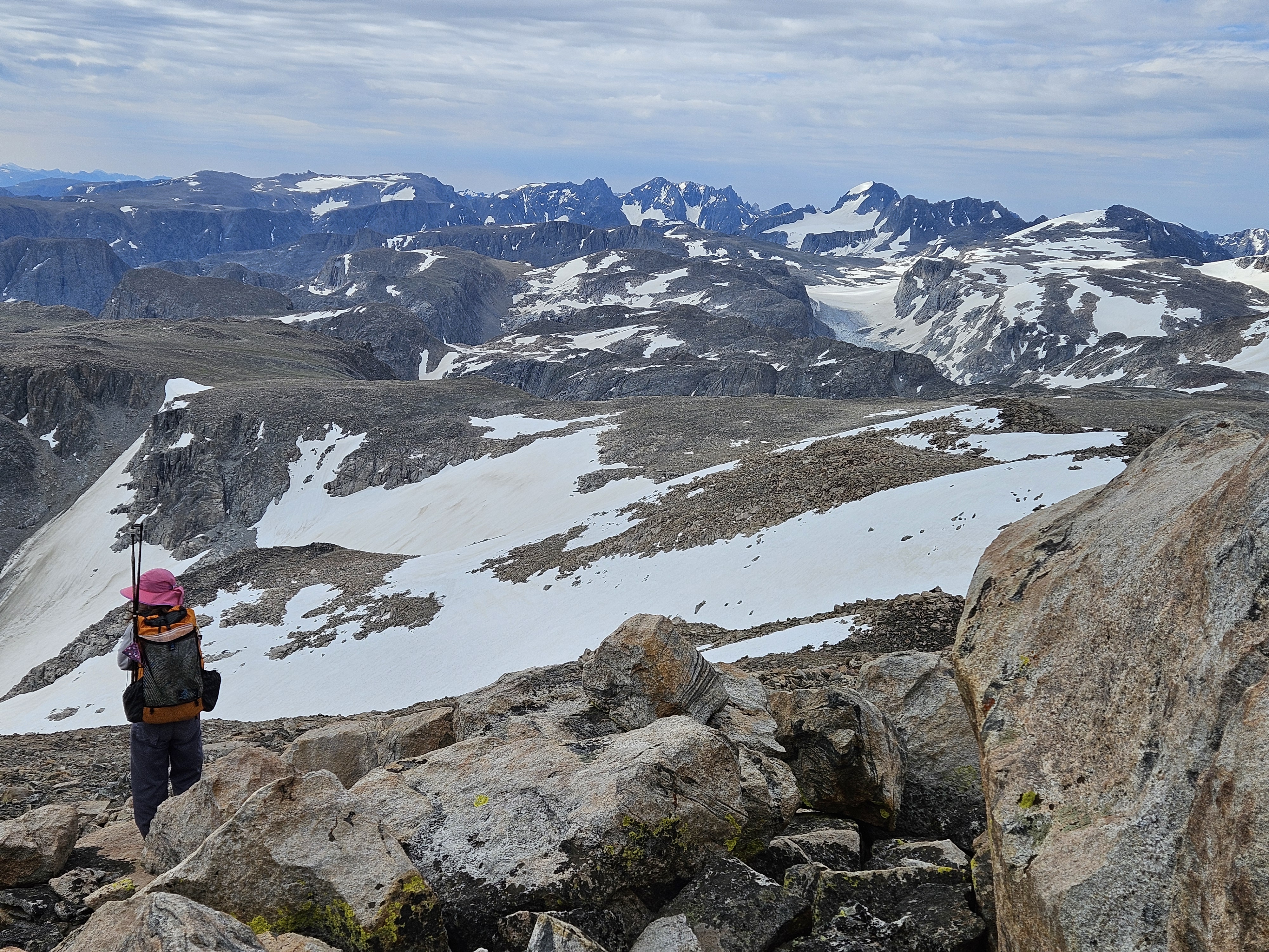
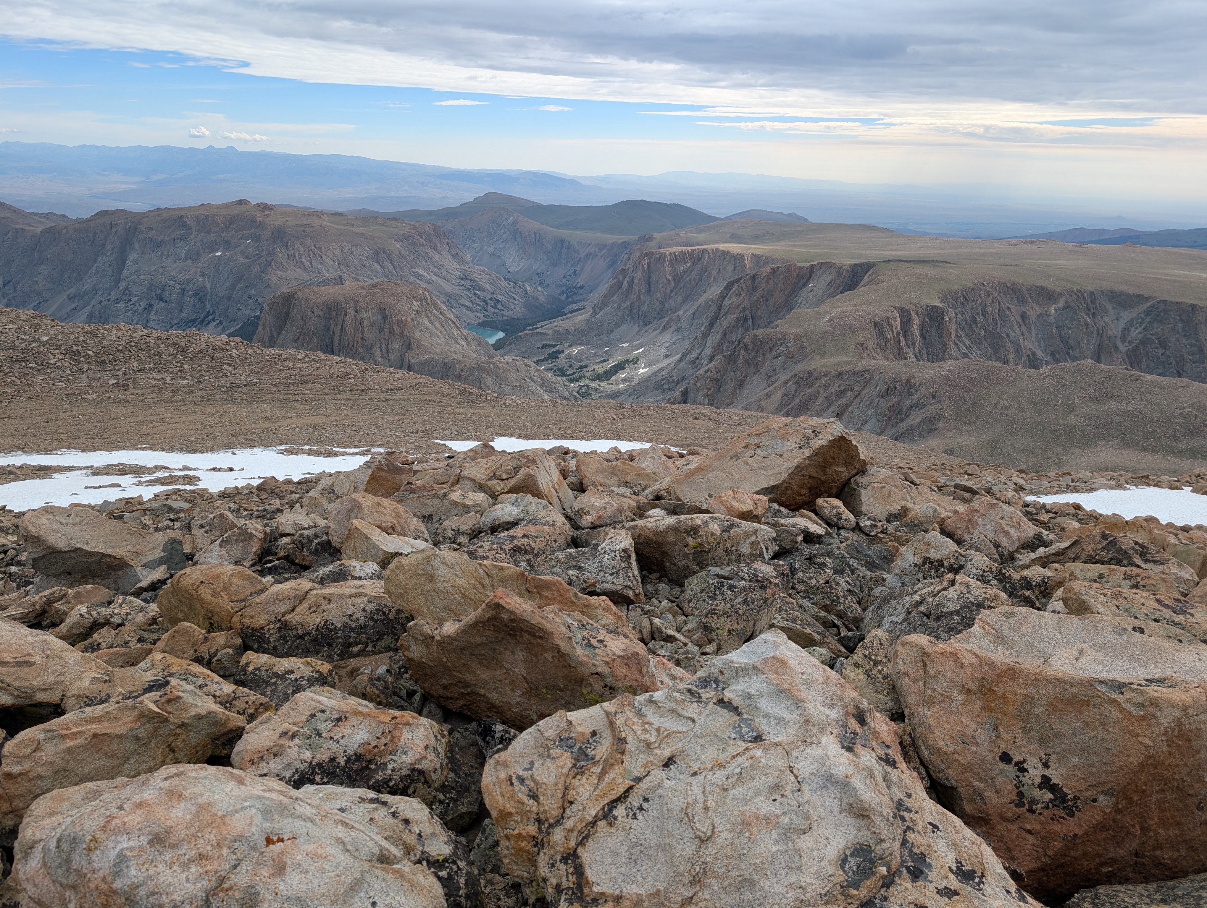
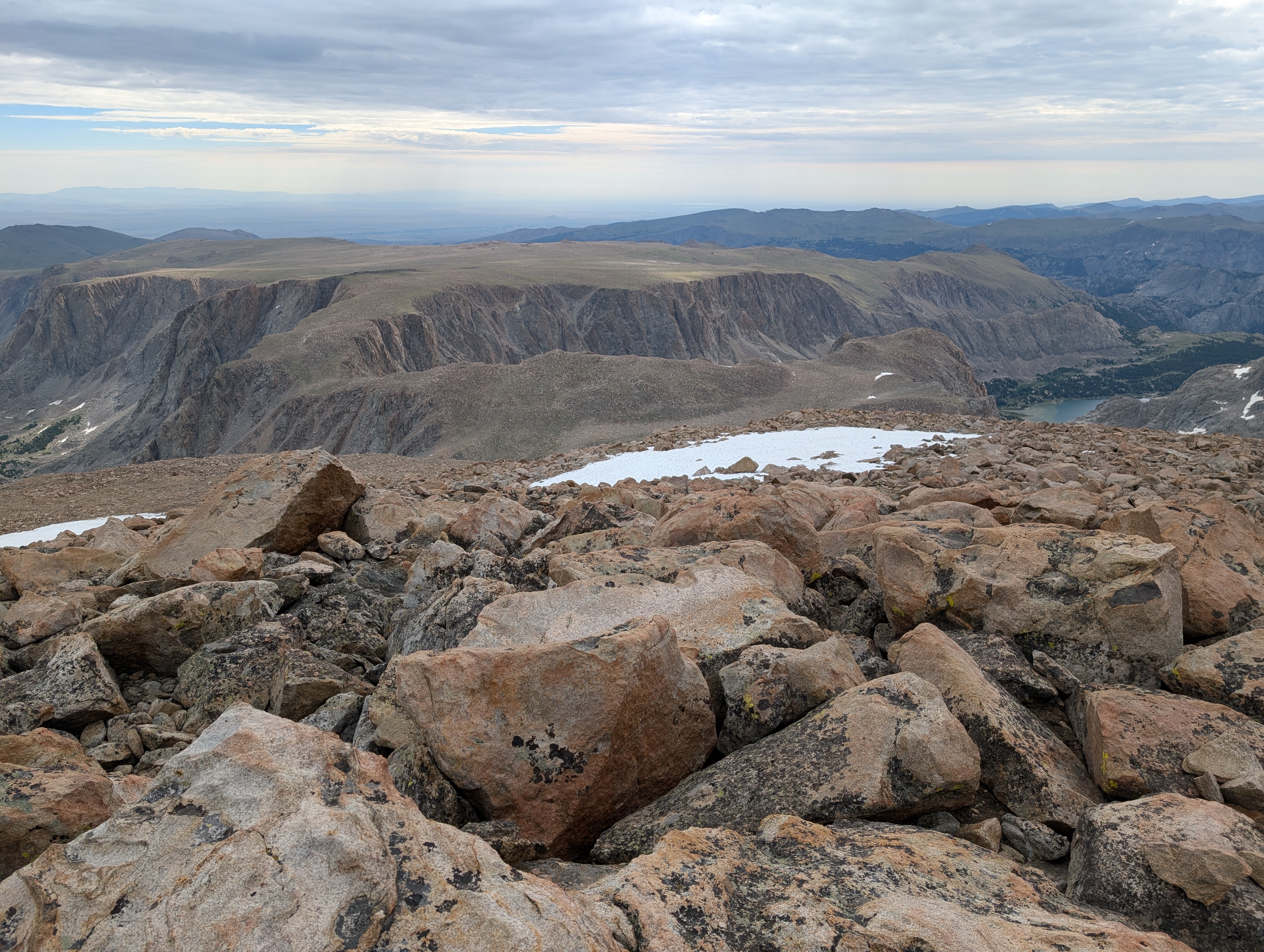
Then it was time for the descent. We scampered down some loose boulders, found some alpine sidewalk on the north side of the mountain, and then came to a big snowfield. Kathryn grabbed her ice axe and made her way down the mountain in less time than it took Erik and I to put on our crampons, harnesses, and prepare the rope. Then we slowly started down. I’m a Minnesota kid and used to snow, but I’m certainly not used to big expansive slopes. It’s hard for me to judge the angle, how far I might fall if I lose my footing, and haven’t practiced much self arresting. The snow was generally soft but Erik and I still used the rope and pickets. Part of this was practice, partly it made me feel safer. But we were taking a long time so we stopped this after awhile. Erik tried butt sliding and but the snow was very slow. I tried it, pushing myself along, and gave up when my butt cheeks started to freeze. After this I felt much more comfortable going down the mountain.
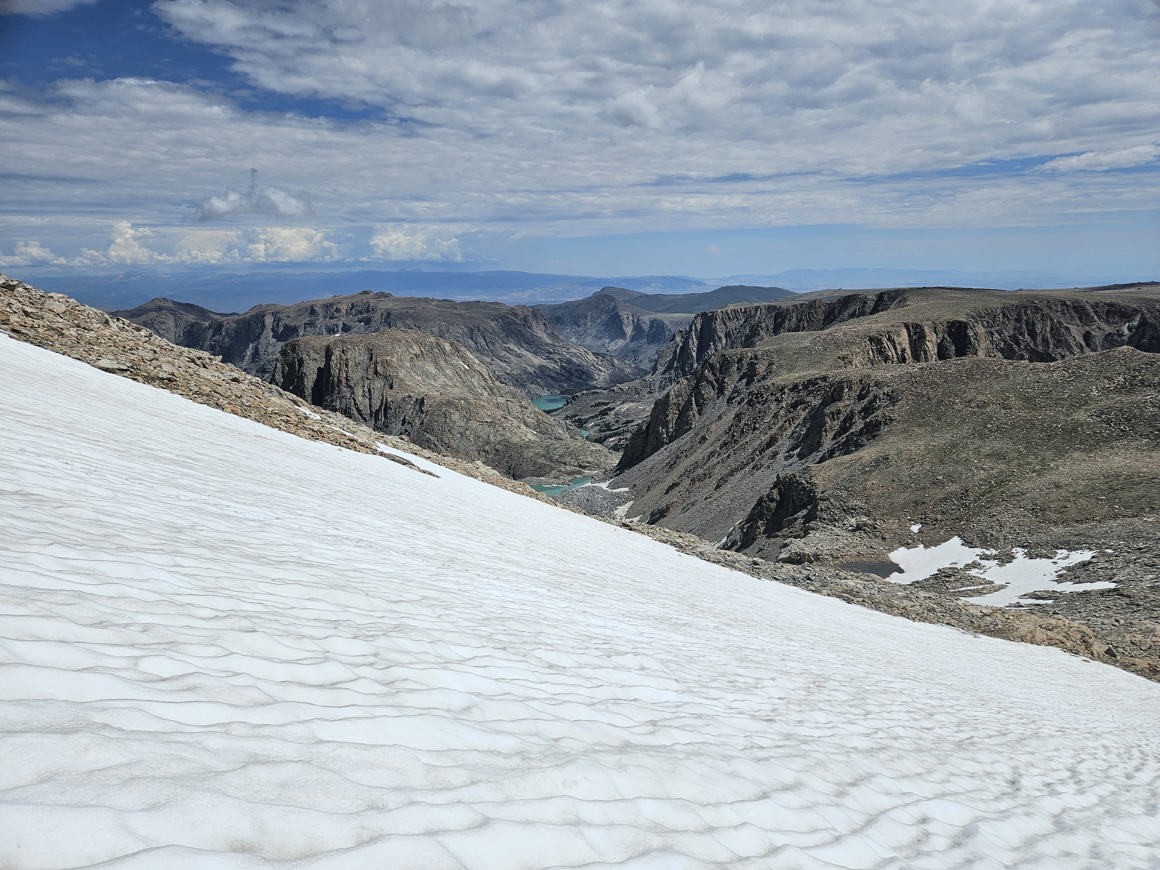
At the base of the mountain there was more rock and snow. We didn’t see any good camping here but also didn’t look too hard. According to this post, we must’ve missed the sites. Then we began climbing up to No Man’s Pass, which I’d been eyeing since at least 2021 when I first seriously started studying the North Winds Map. Unfortunately the clouds were building so we didn’t take in the view for very long before we started our ascent onto Goat Flat. It was a mix of alpine sidewalk and boulders. More boulders than I wanted. It’s crazy how from above these plateaus can look so flat but in reality they area anything but.
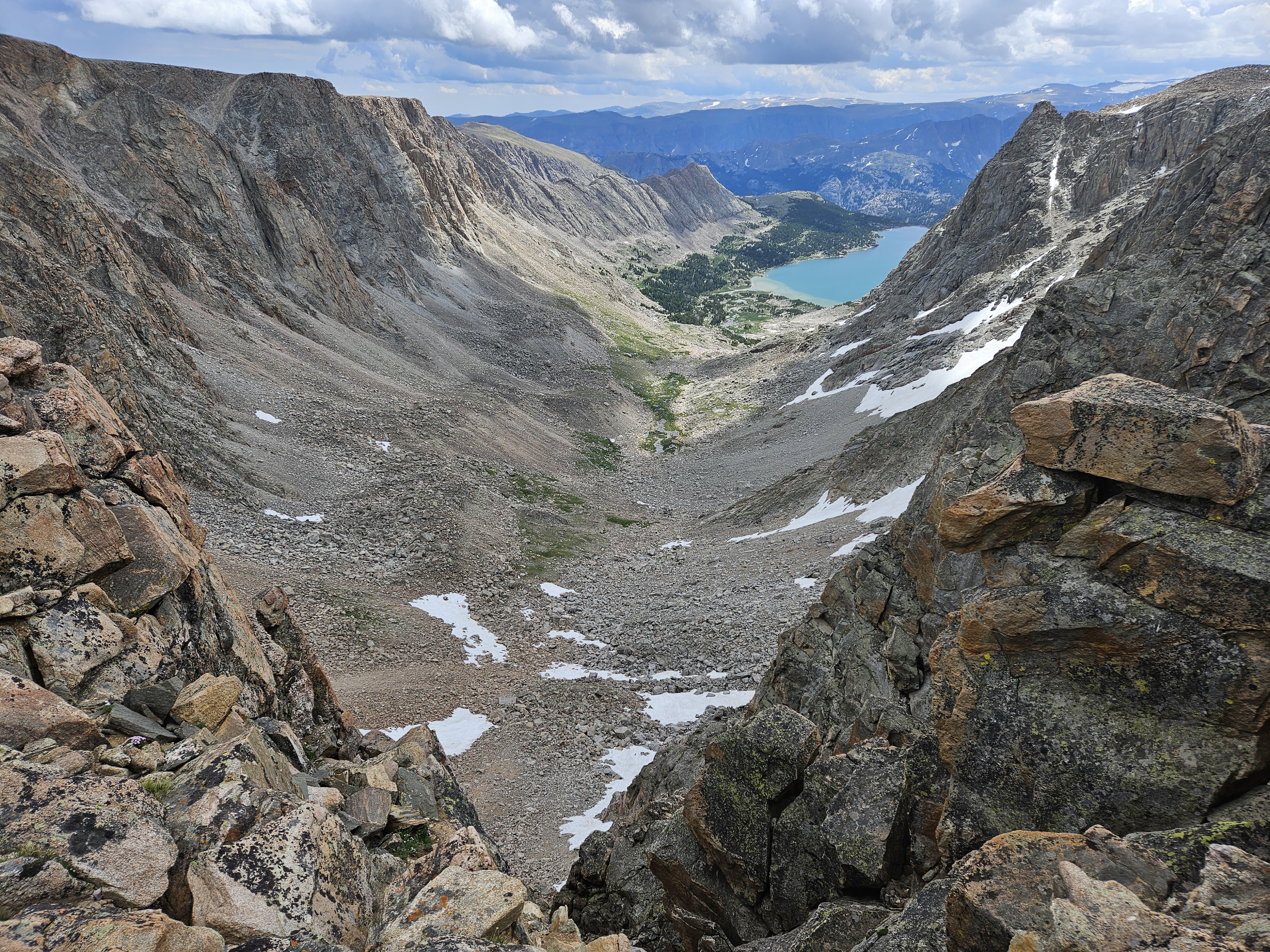
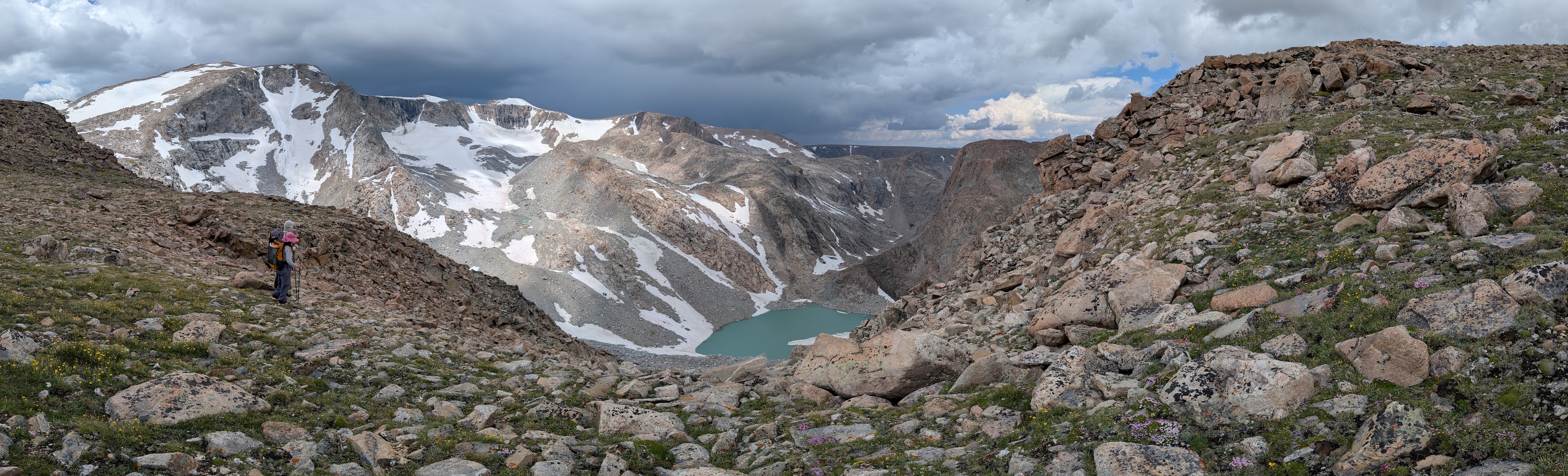
Coming off the highest part of Goat Flat there was some gravel, then a long relatively flat section pocketed with pools and streams of water. Then we had to head back higher to get around the next rocky outcroppings and there were more boulders. My feet and ankles were sore by now and I slowed down considerably. Eventually I finally sat down for a couple snack breaks and felt better. Most of the storms were passing to our north where the clouds were dark and we could see the rain falling. We passed by a couple established campsites up on the plateau.
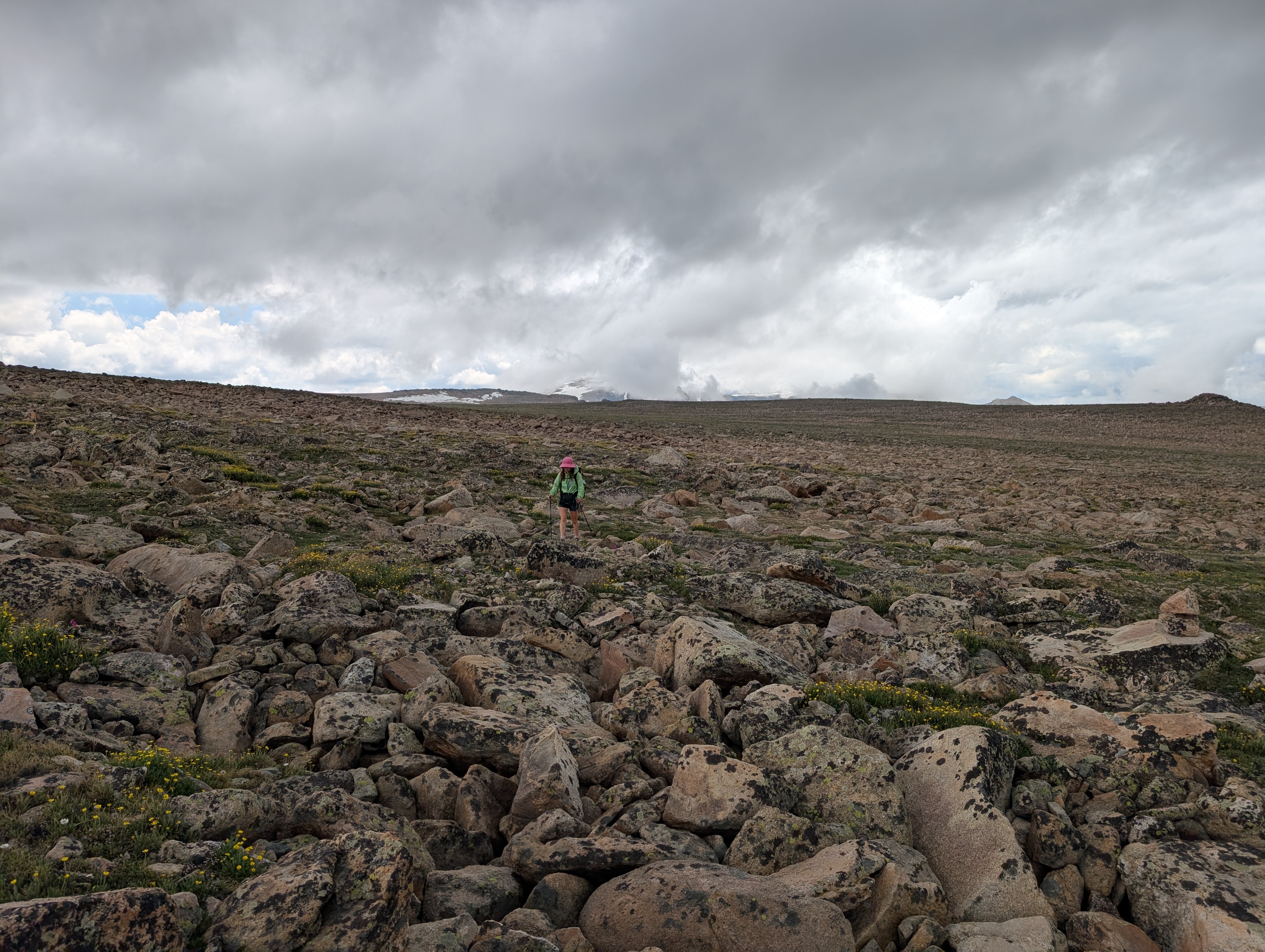
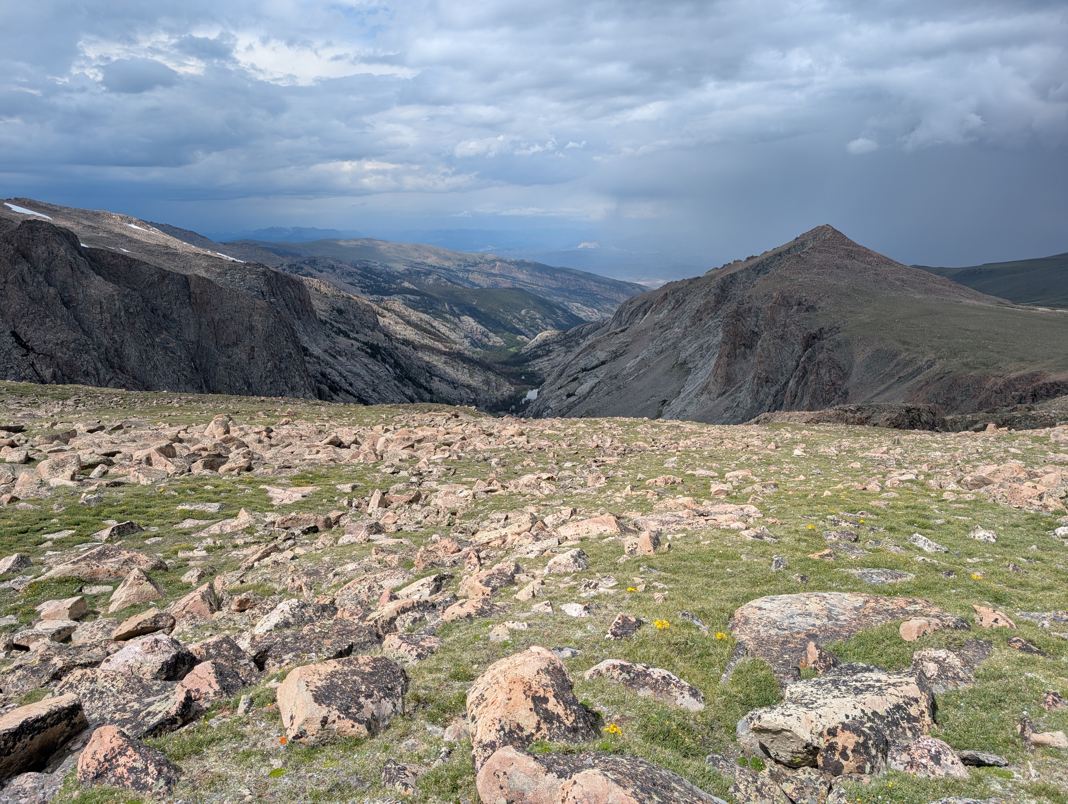
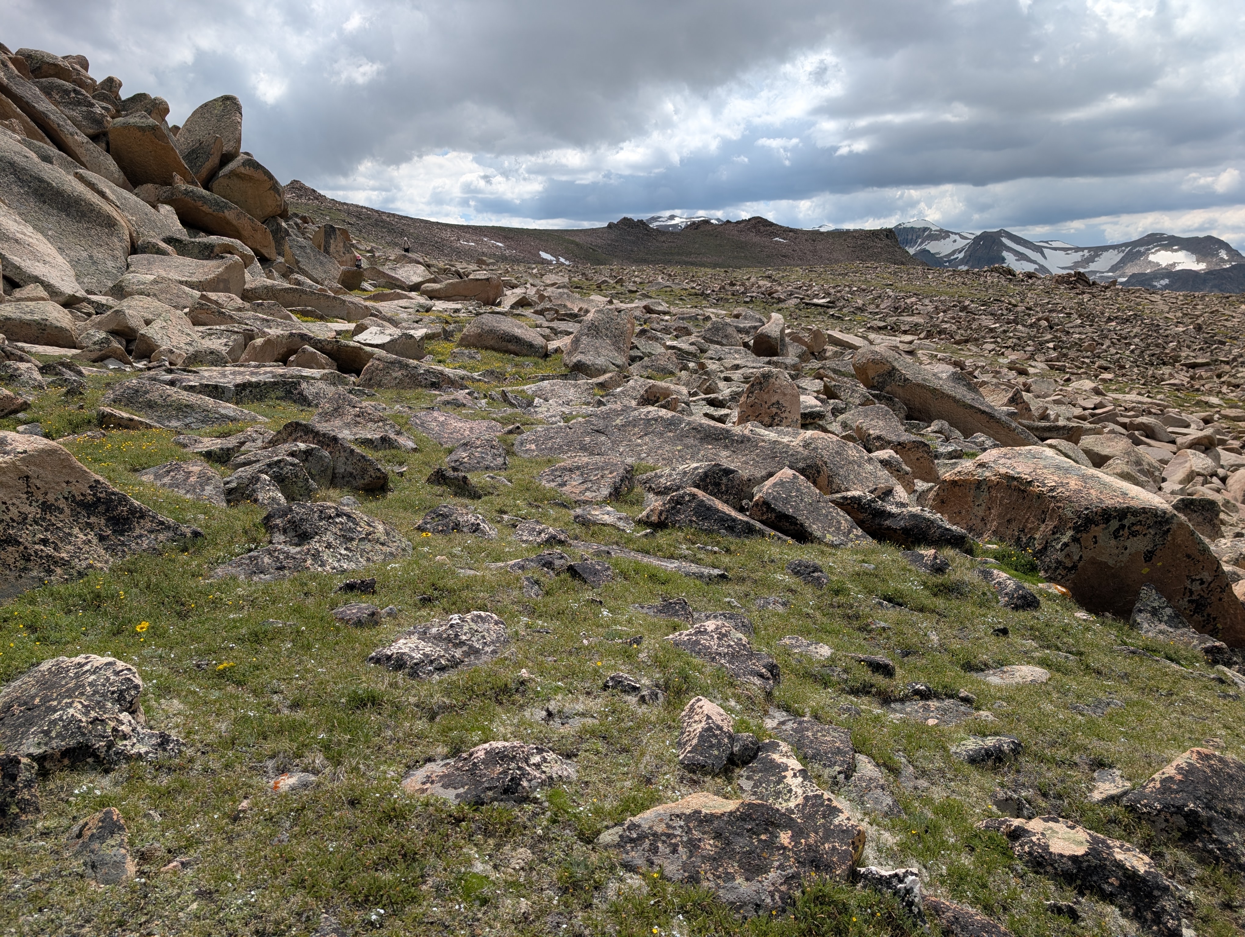
I got a second wind and soon we could see where the Glacier Trail was on the Goat Flat. There was a herd of big horn sheep. We continued along the Goat Flat, going almost parallel to the trail but higher above it. By the time we finally hit the trail my feet and ankles were trash and I was ready to camp for the night. I also wanted to camp before we were entirely in the trees as I thought the mosquitoes would still be fierce. At my behest, we crossed the creek and started looking for a campsite but it was too rocky and there weren’t any flat areas. We made our way downhill until we found something descent and set up our tent in a more open tree area that was close to an entirely open area where we could cook and eat with fewer mosquitoes.
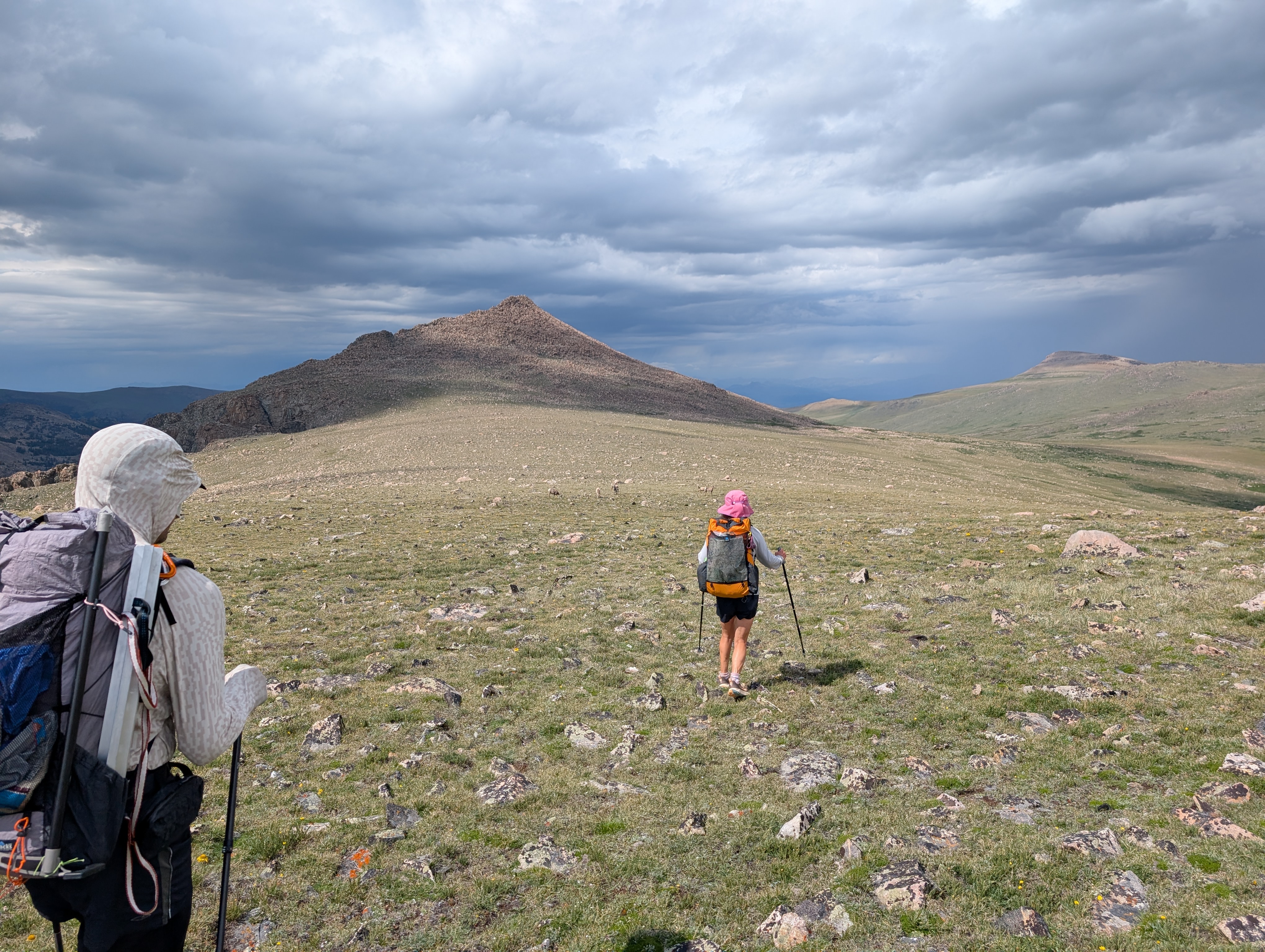
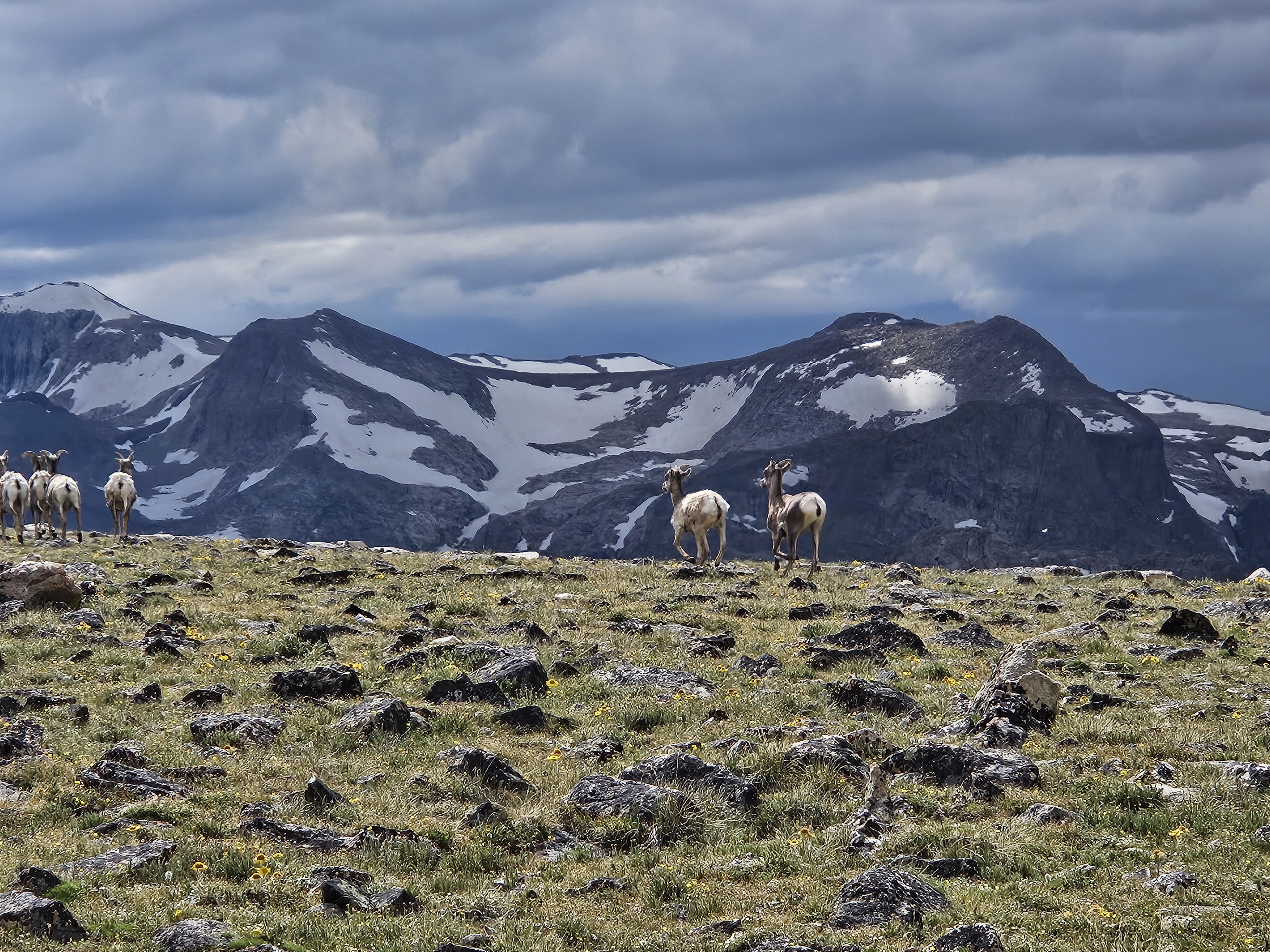
Not long after we’d cooked dinner though it began to rain and we retreated to our tents. It rained off and on, gently, most of that evening. There was a small brook near our site for a pleasant water feature noise, much different from the roar of the Dinwoody a few nights prior.
Day 7 (7/18/26): Near Williamson Corrals to Trail Lake Trailhead
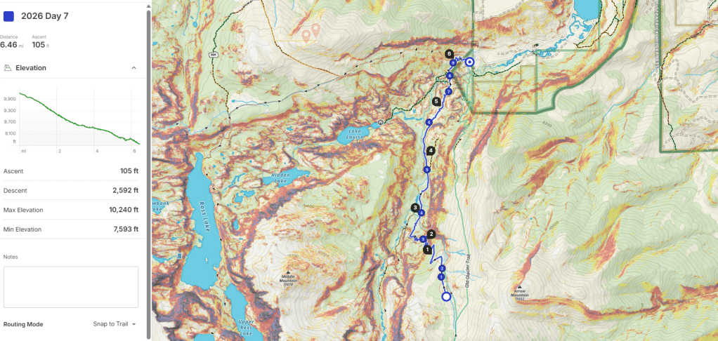
We woke to clear skies and enjoyed sunrise colors and few mosquitos on some rocks out in the open as we ate granola. Then we packed up for the short hike back to the car. Instead of regaining the trail on the other side of the creek, we bushwacked (it was very open forest) down to the stream crossing. We talked to someone at the second campsite we passed, the first person our group had talked to since summit day.
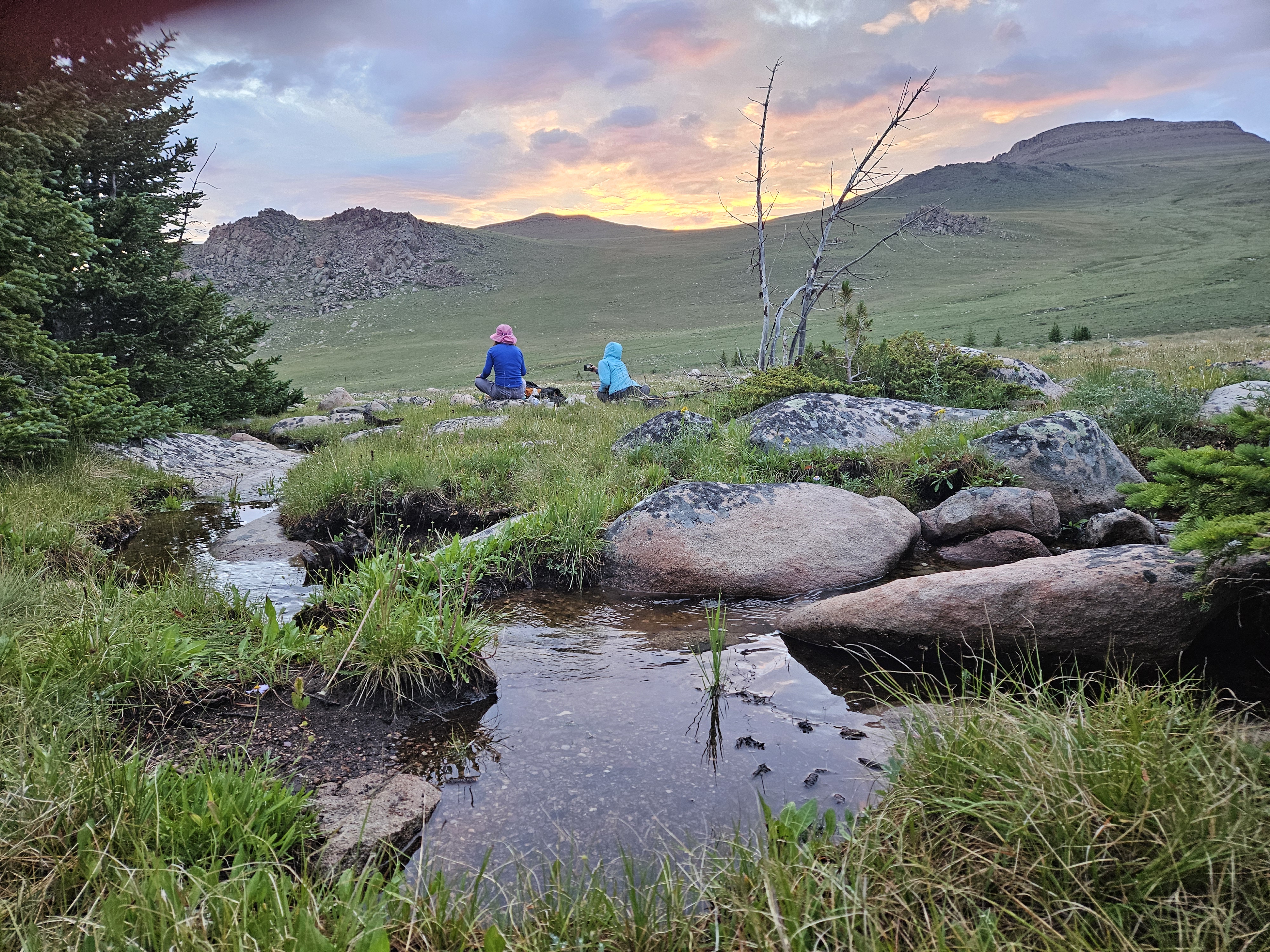
As we continued down the New Glacier Trail, we encountered a few parties heading up to do Gannett. The hike out was uneventful, got long for awhile before we joined with the Whiskey Mountain Trail, and then was baking hot down in the parking lot.
If I had to do this trip again: This trip was pretty much perfect. Perhaps the weather would’ve been a bit cooler and we could’ve enjoyed the views on the hike in more. Otherwise we had extraordinary weather that often stormed around us but not on us. Spent four nights camping with glacier views. Doesn’t get better than that.
Best Decisions: Going for Gannett from Dinwoody Glacier and in mid-July before the bergshund could open up too much. Oh yeah, and bringing our unofficial tour guide Kathryn for the technical parts and the distraction in the heat.
Next time: I’m not sure I’ll do Gannett again. Part of me wants to seek redemption on the Tourist Creek route and try for the gully on the northwest side. Otherwise, I just might have to do part of that high route again. I don’t think I’d do the first part we did with the steep passes, but I would like to get to the Philsmith Lake area again, climb Philsmith Peak, and see Klondike Lake from up above. Maybe it’s good to leave something for next time. There’s also the pass in the same vicinity to look down on Desolation Lake. To get there via Goat Flat, I might try to skirt Downs Mountain as such:
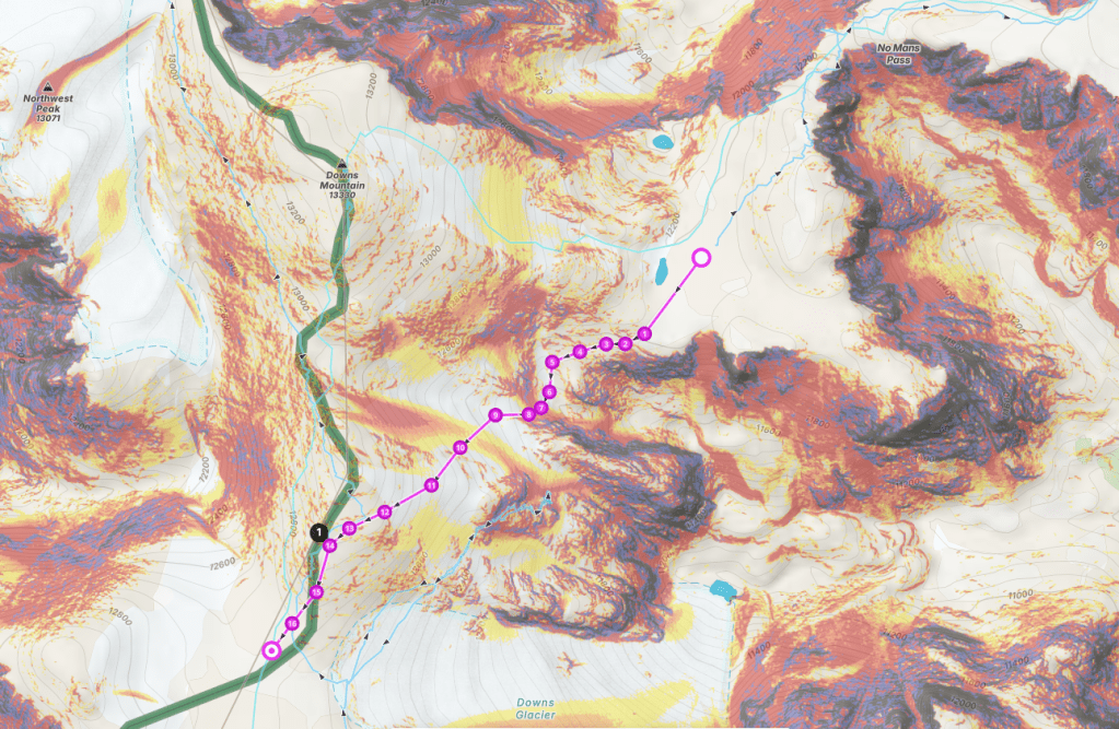
It’s a bummer there aren’t more trails in the North Winds, especially to the high country. Or perhaps, with places like No Mans Pass, that’s part of their appeal, luring us to the the snow and ice and big peaks.


congrats on Gannett!
LikeLike
Thanks!
LikeLike